July 15 – Out of Blanding

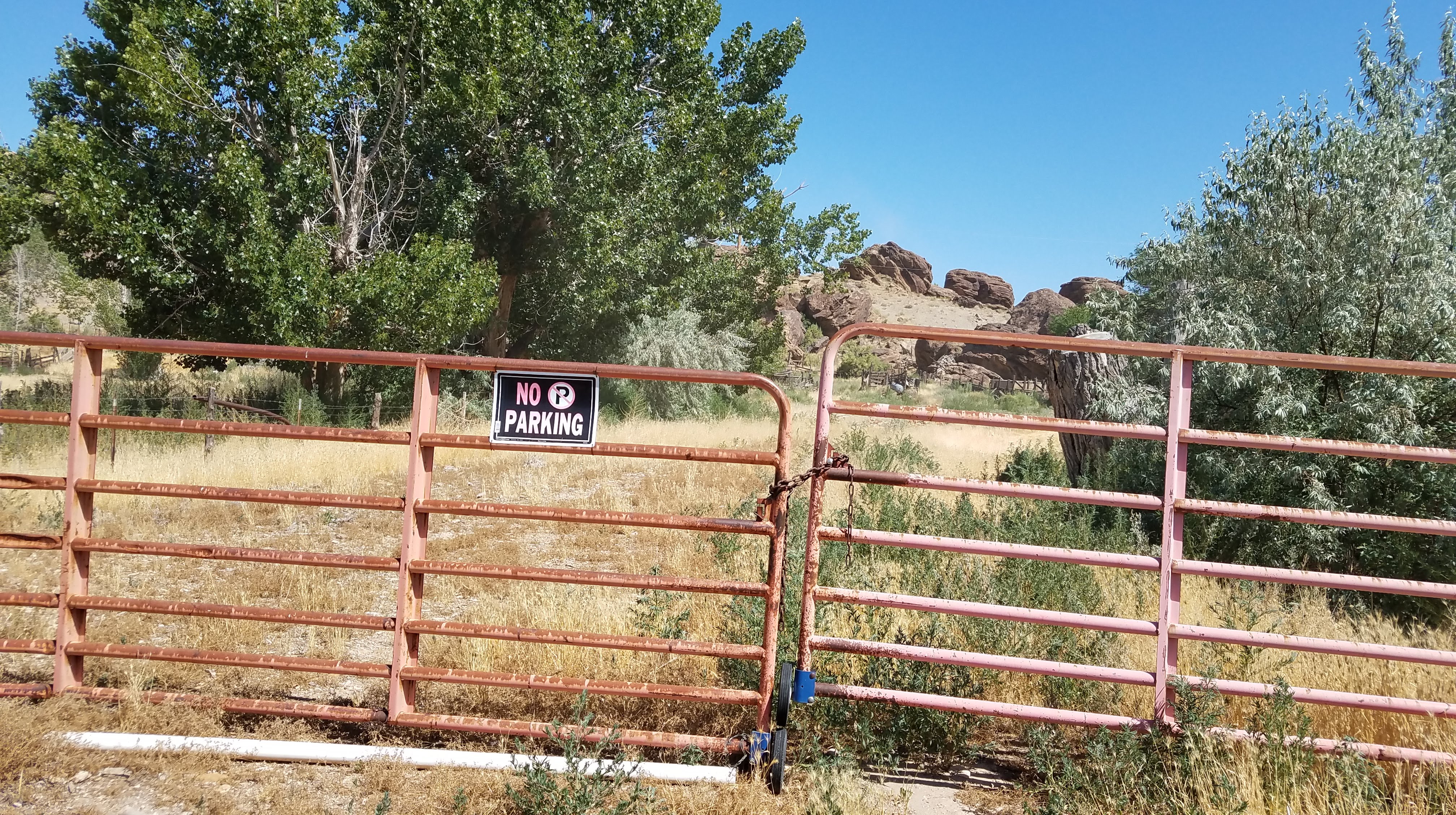
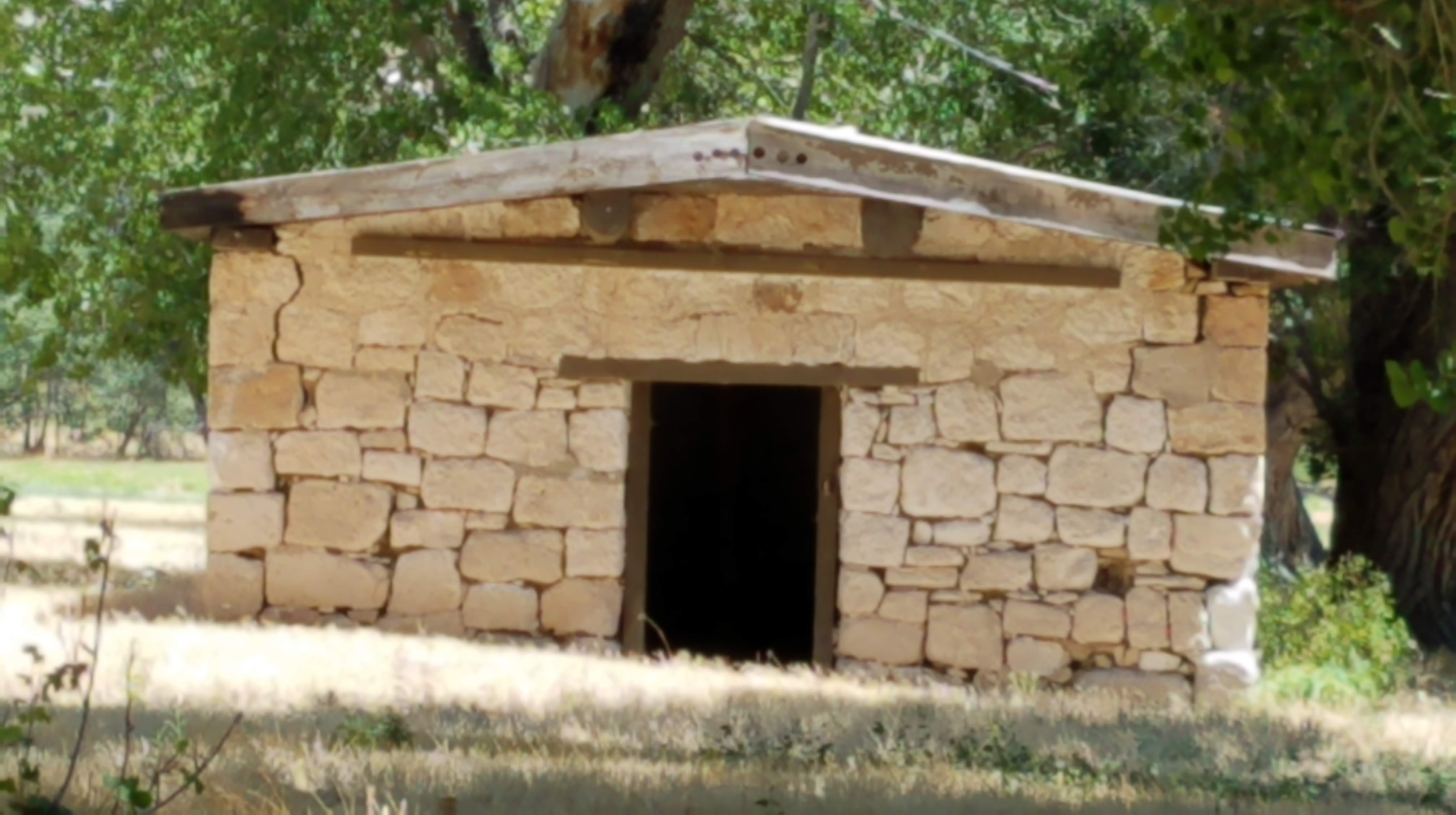
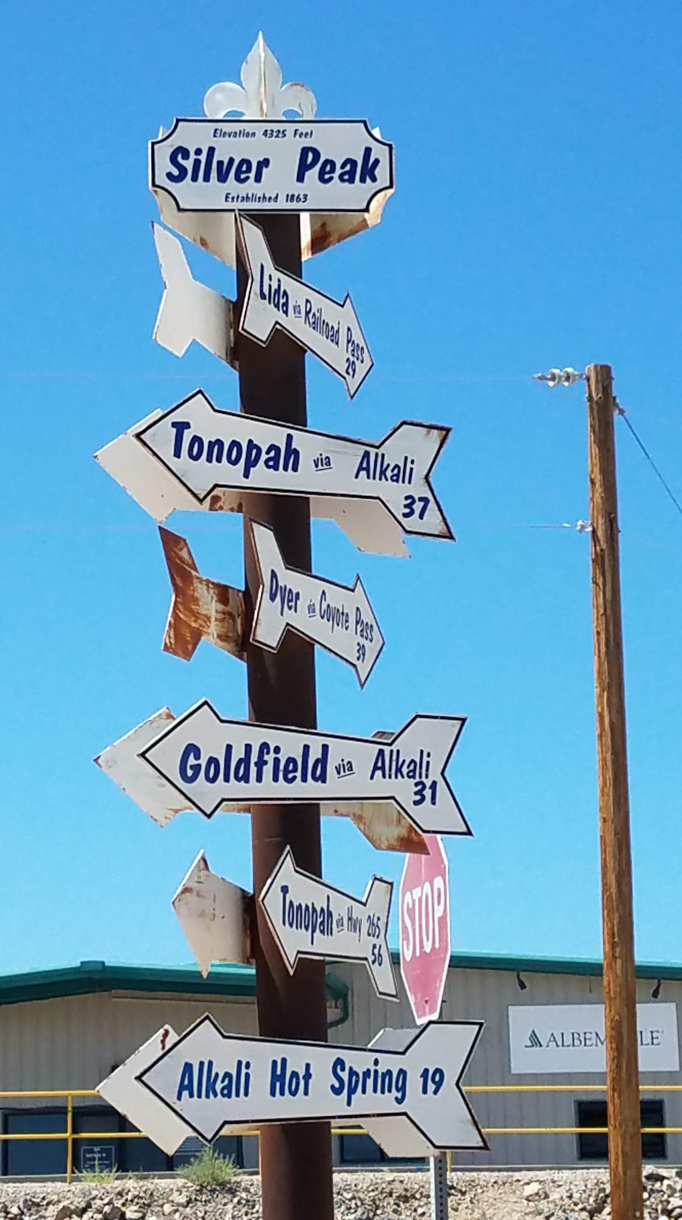
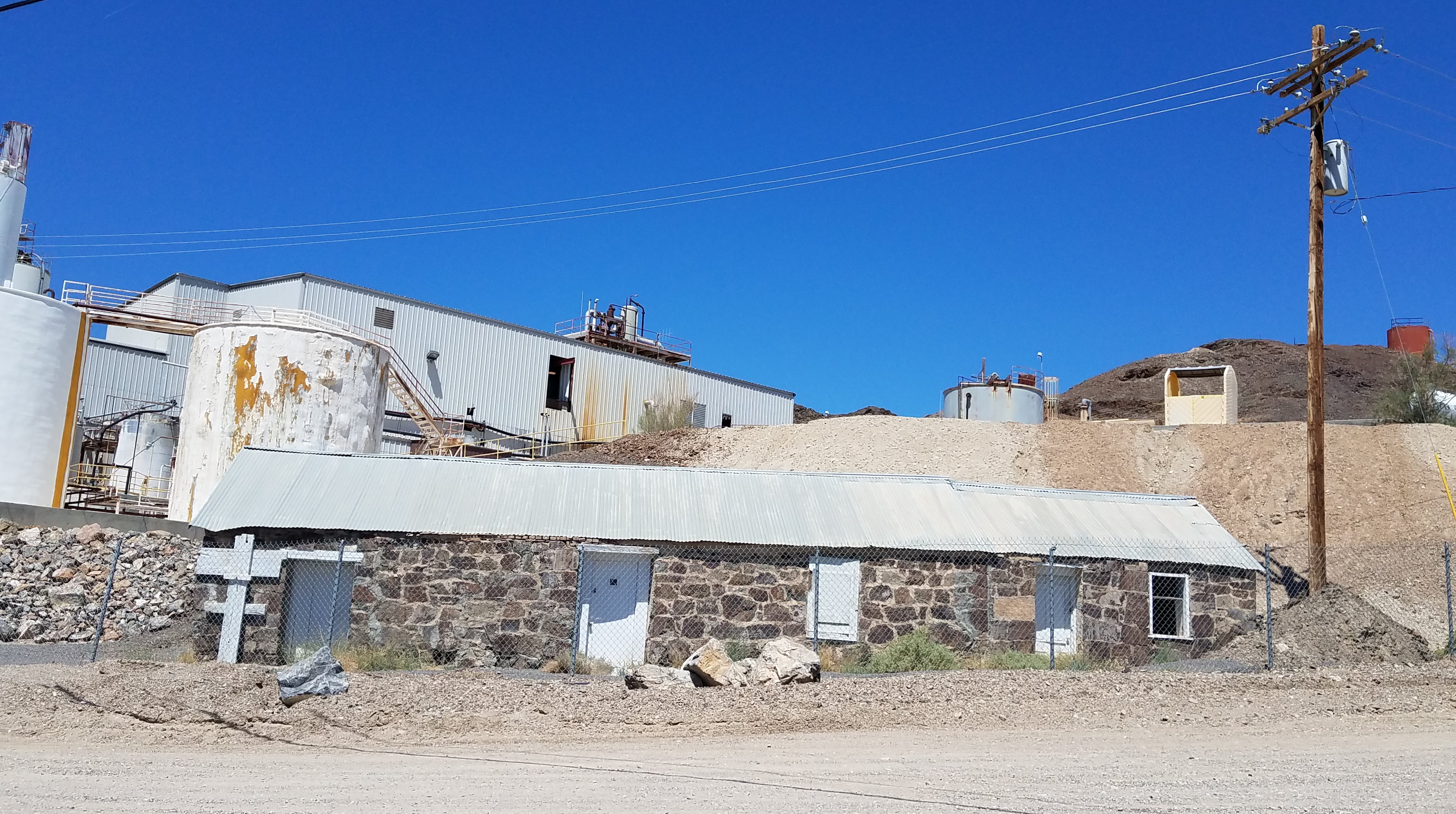
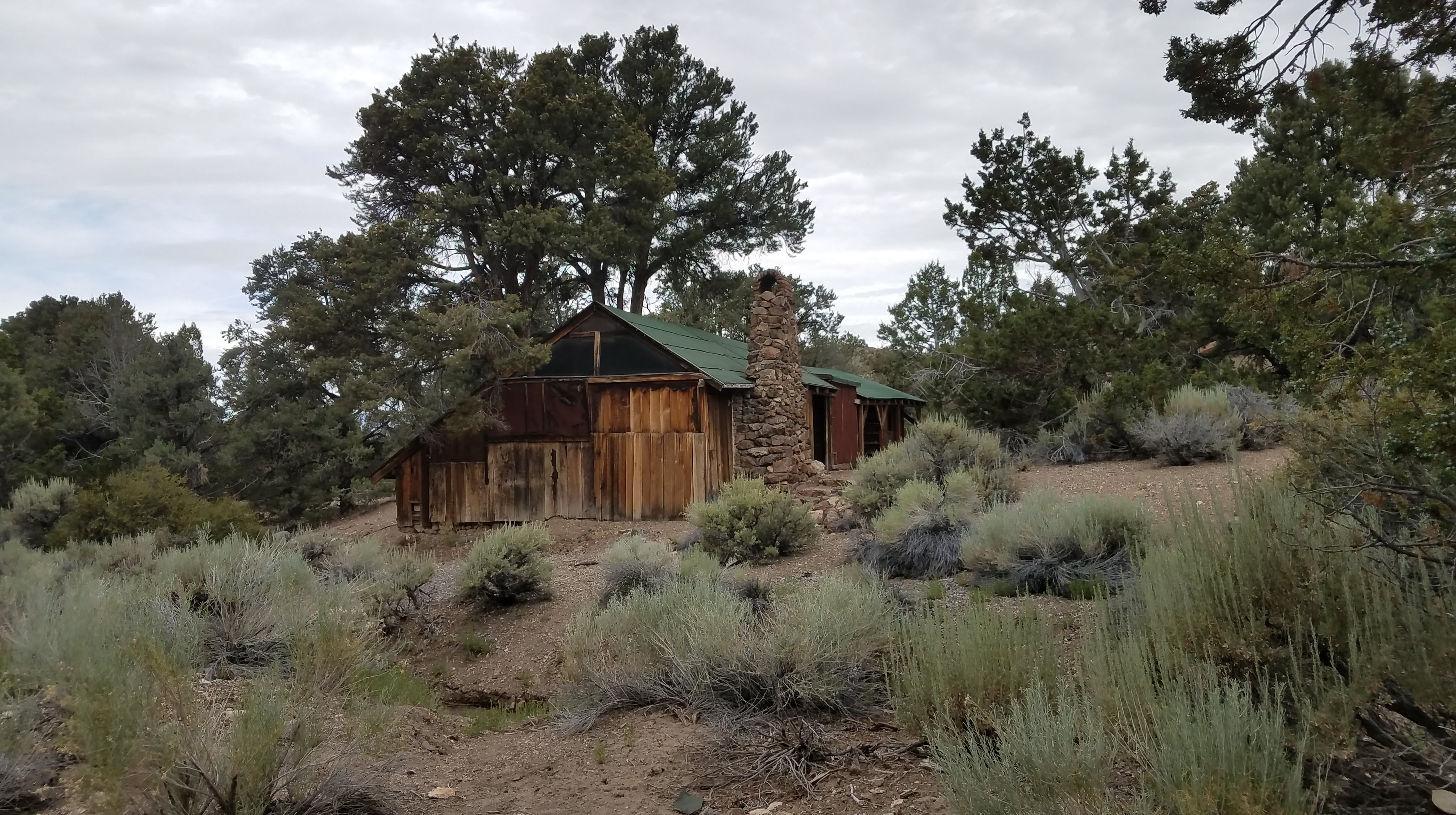
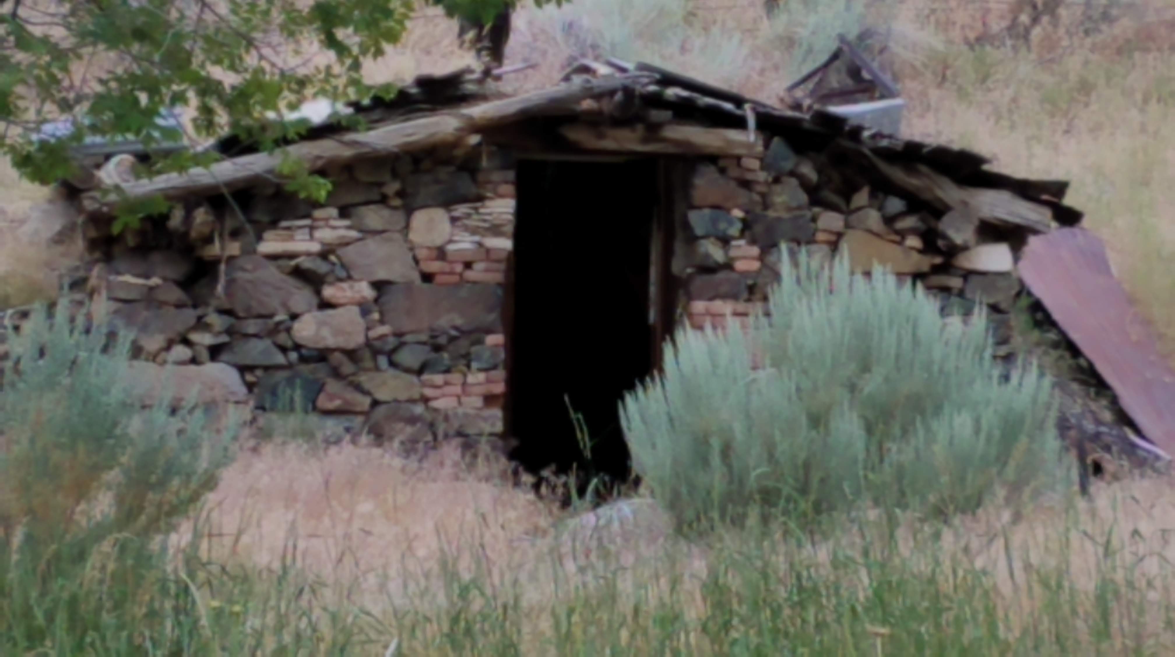
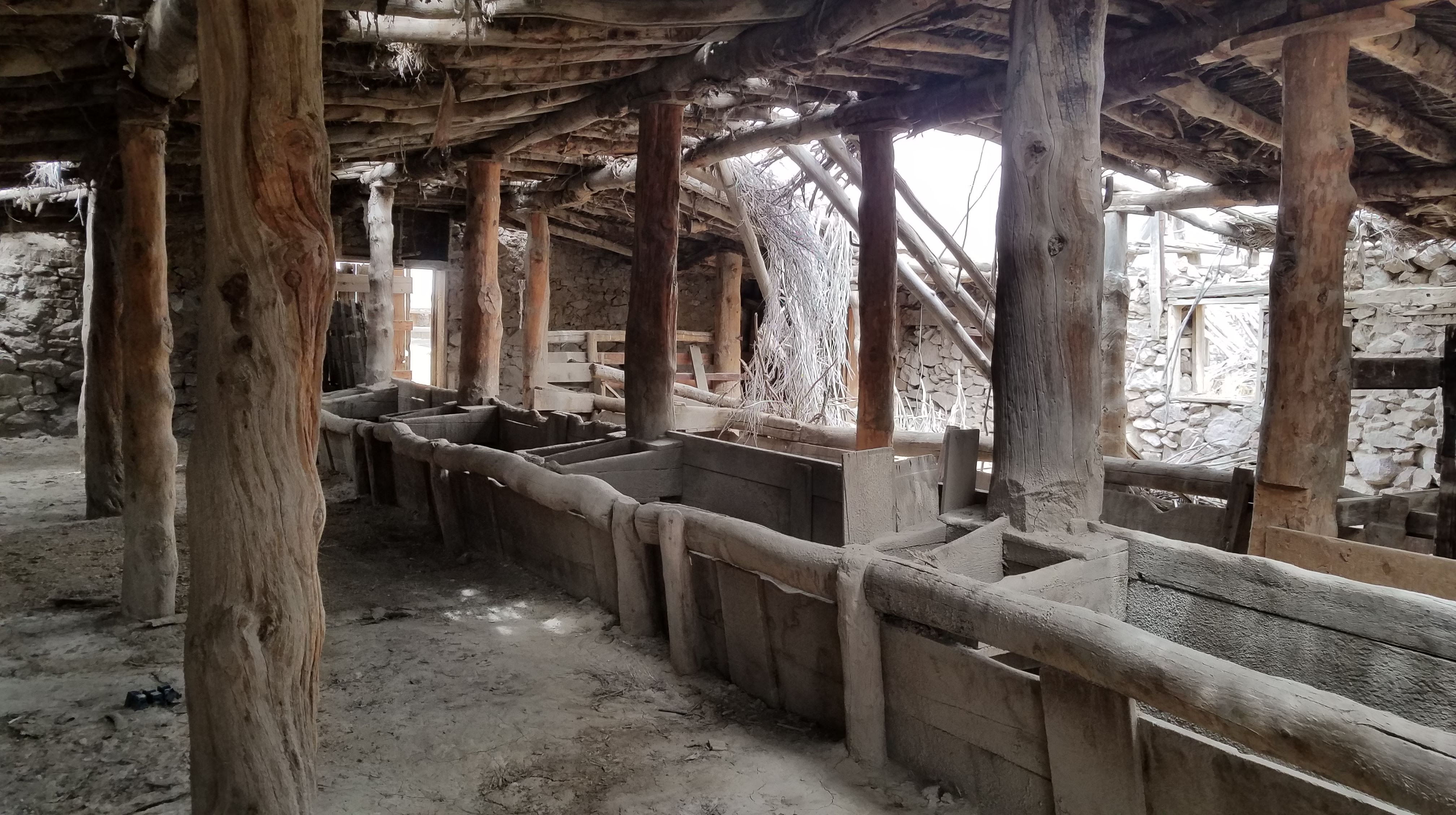
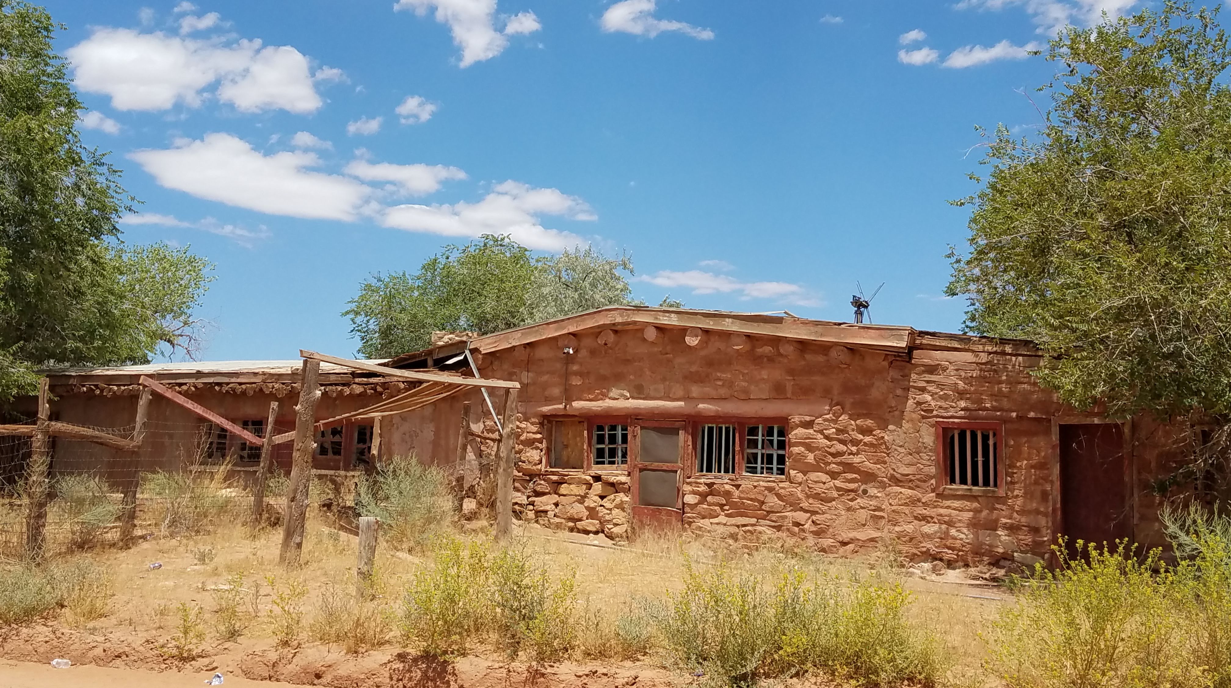
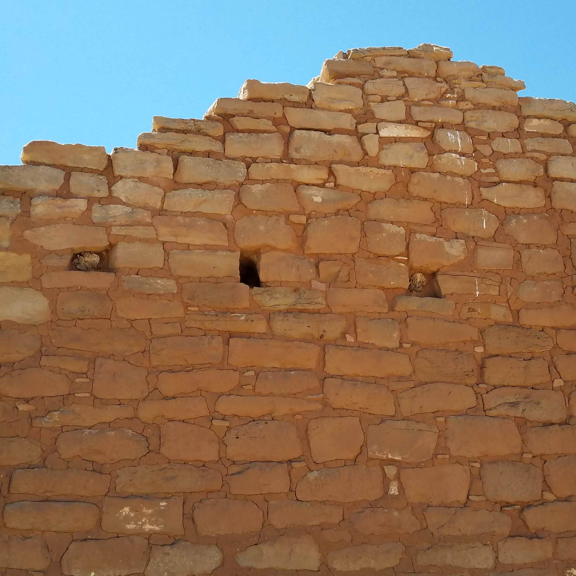
Out on south 191 to east 262 (Hatch Trading Post Rd) to see, what else, the Hatch Trading Post. It was just a ruin now, but once was an important stop.

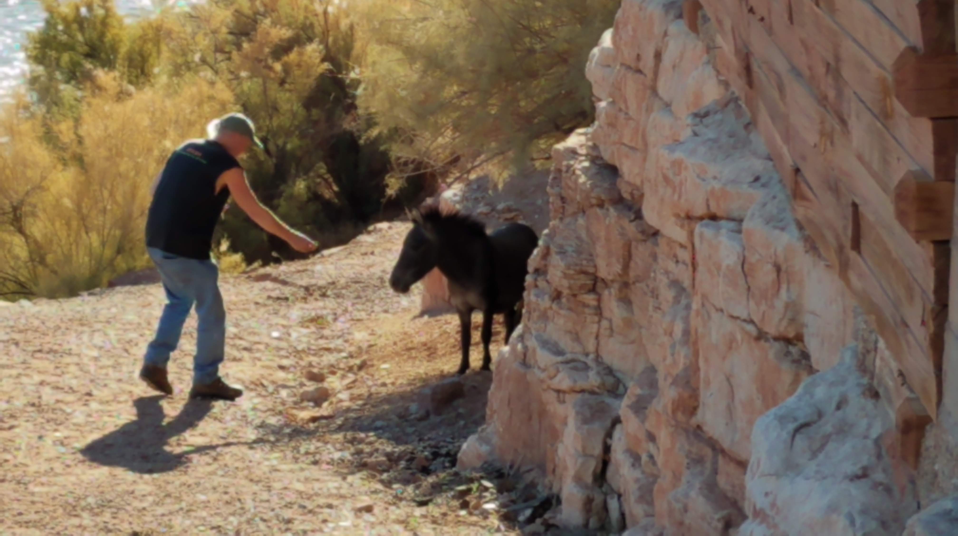
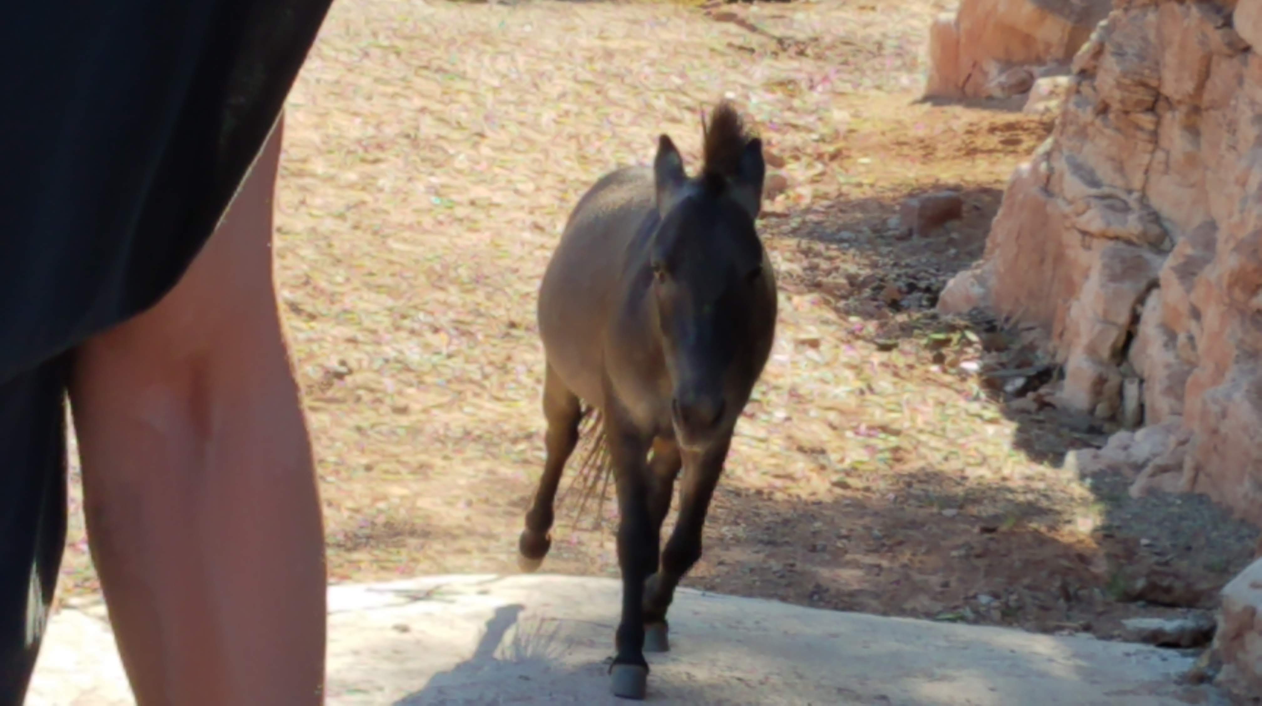
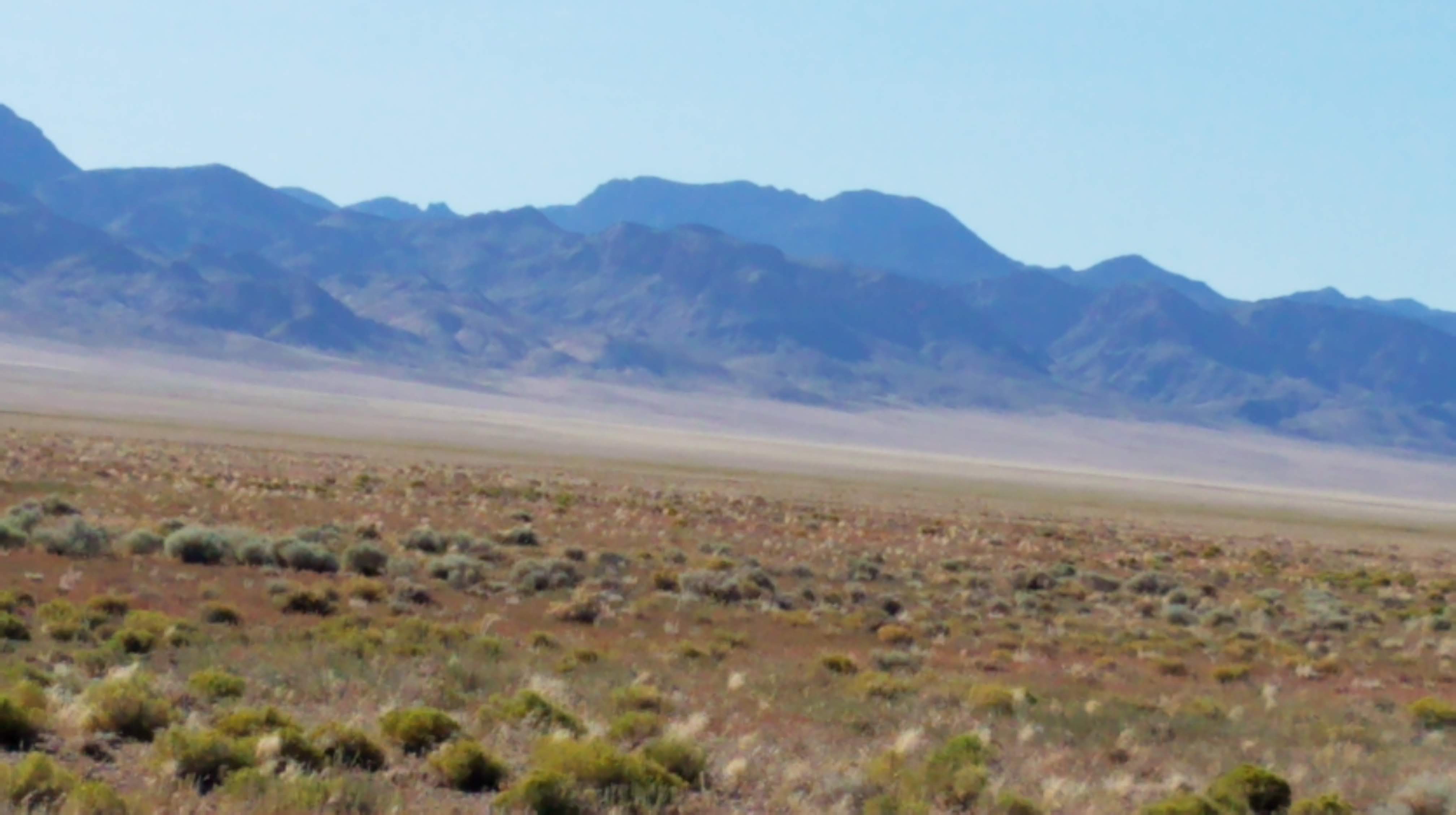
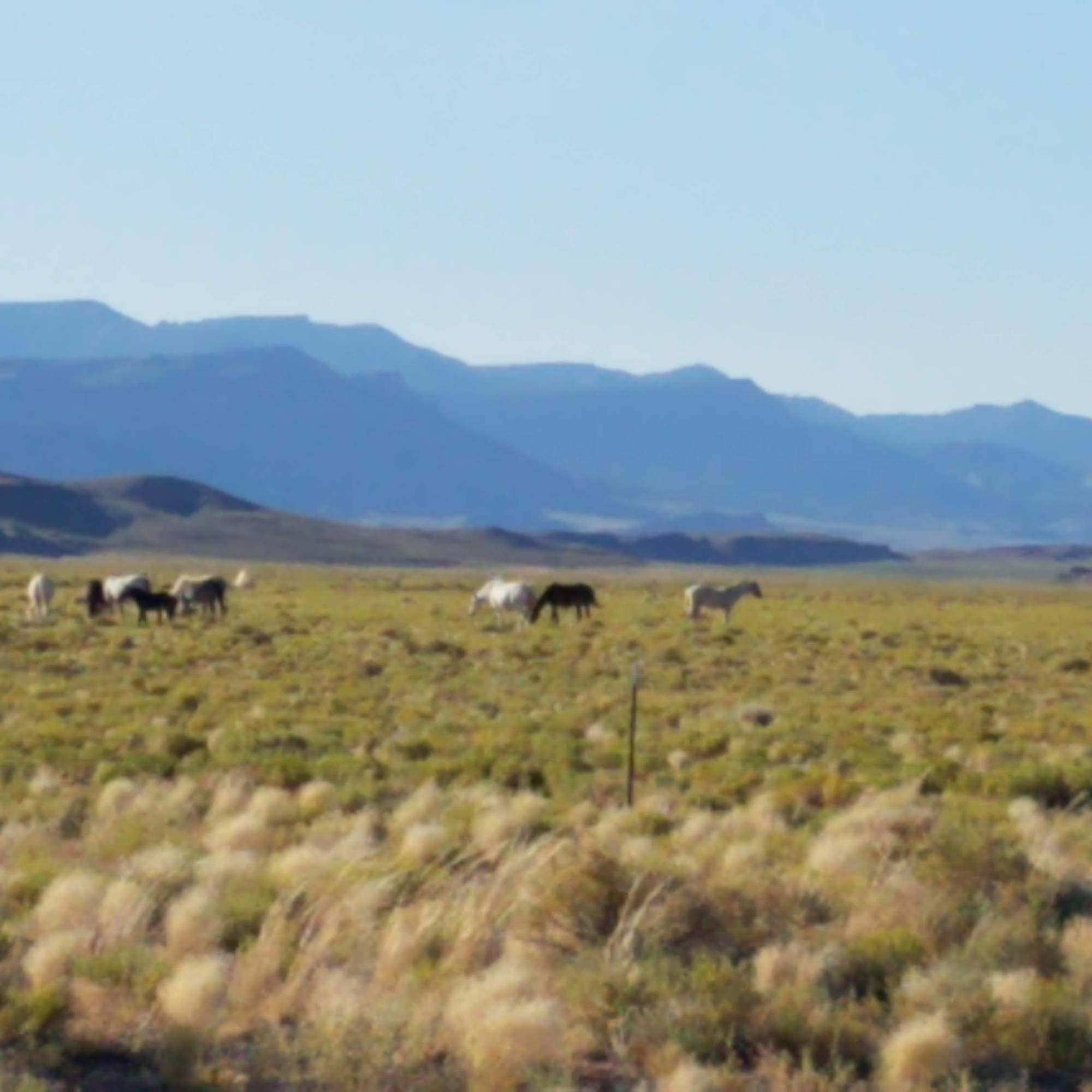
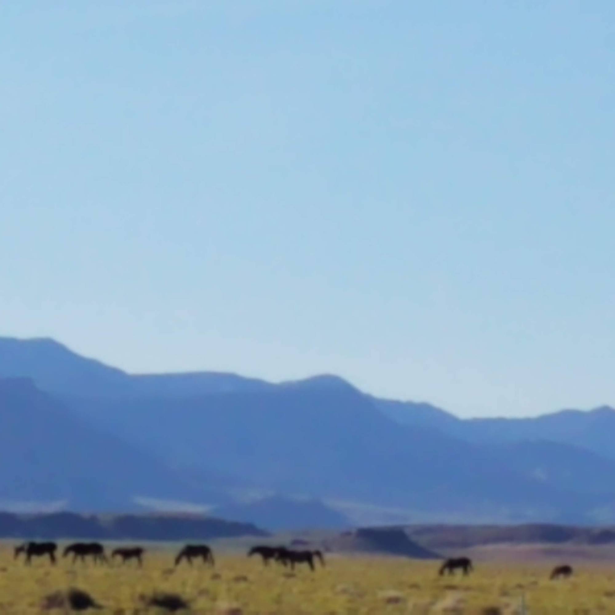
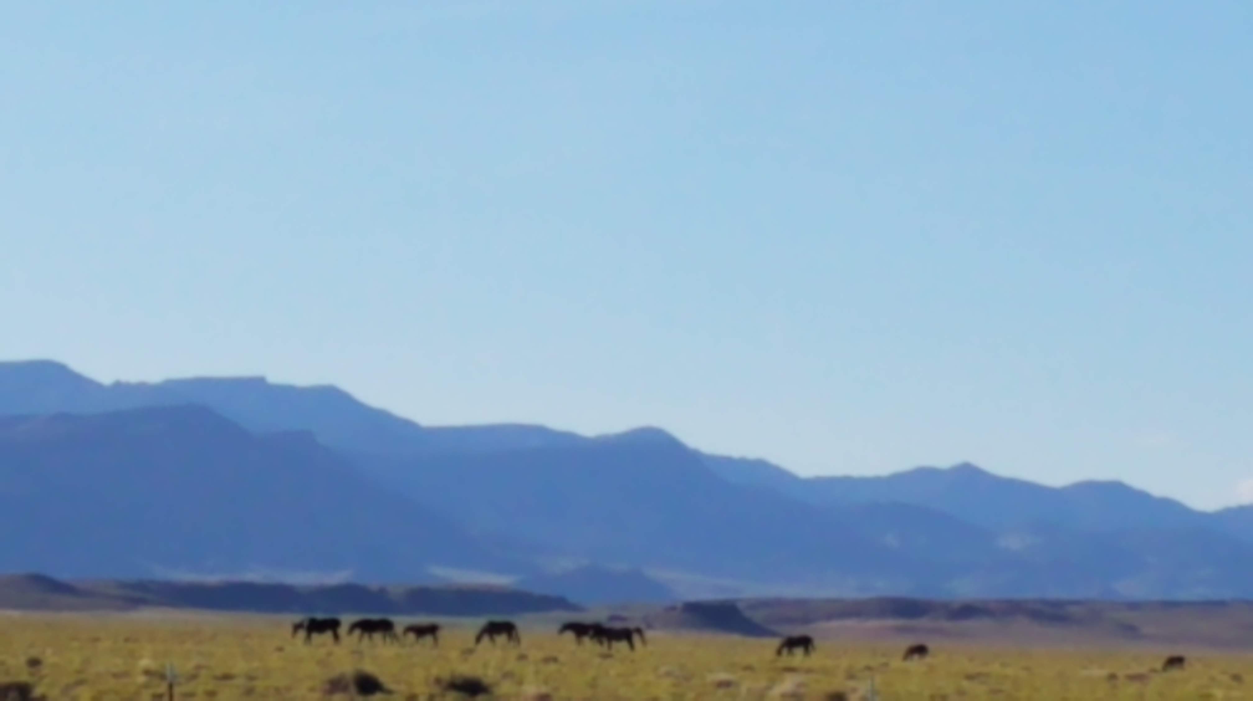
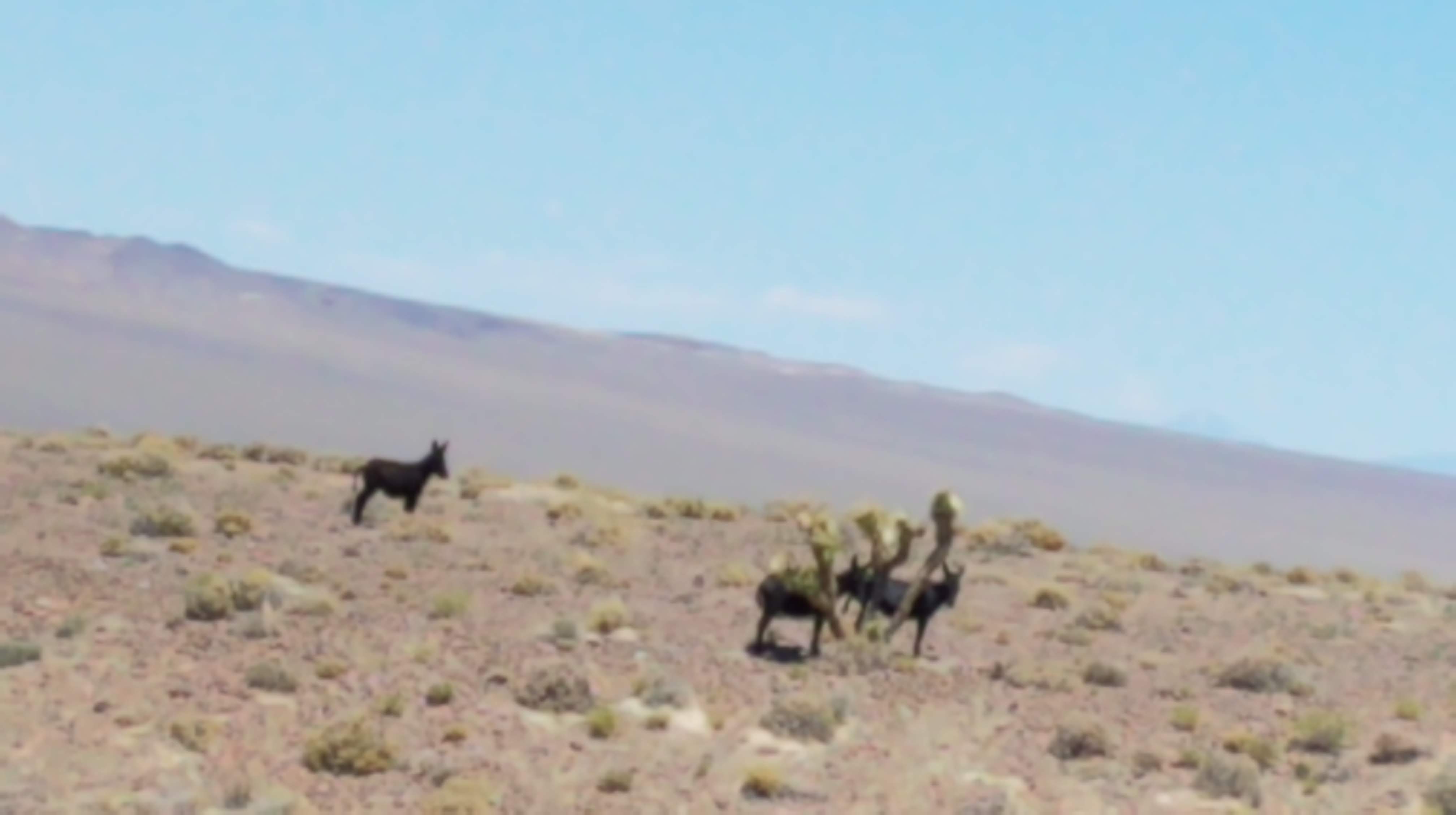
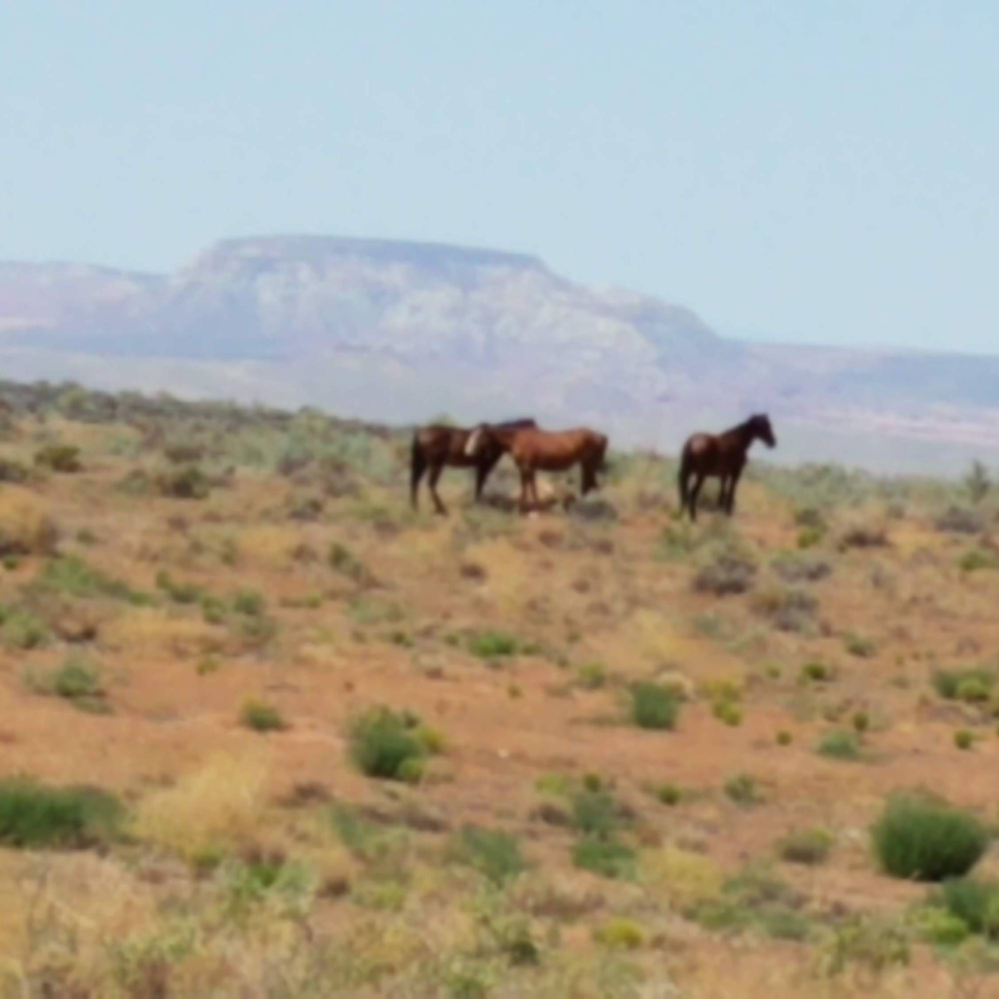
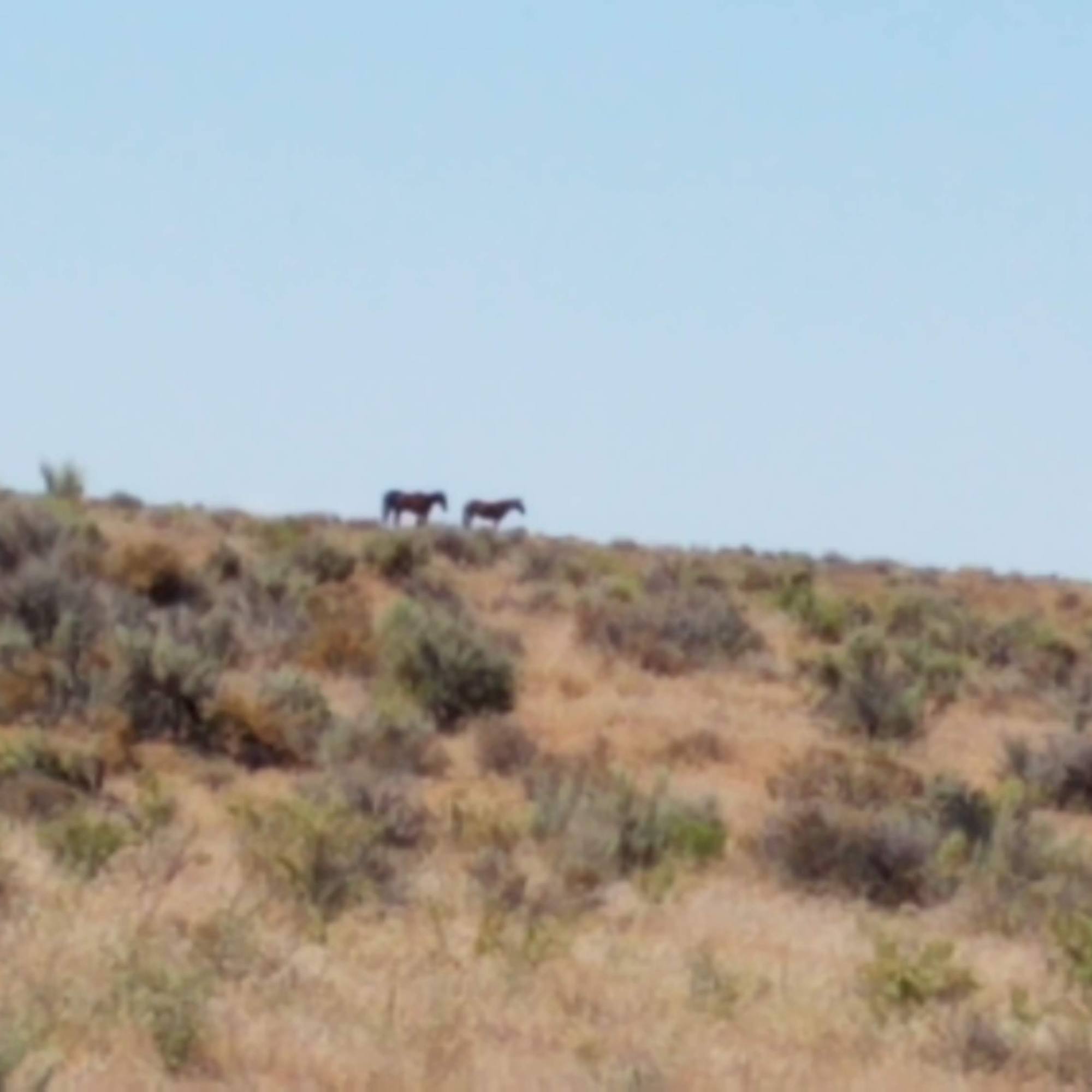
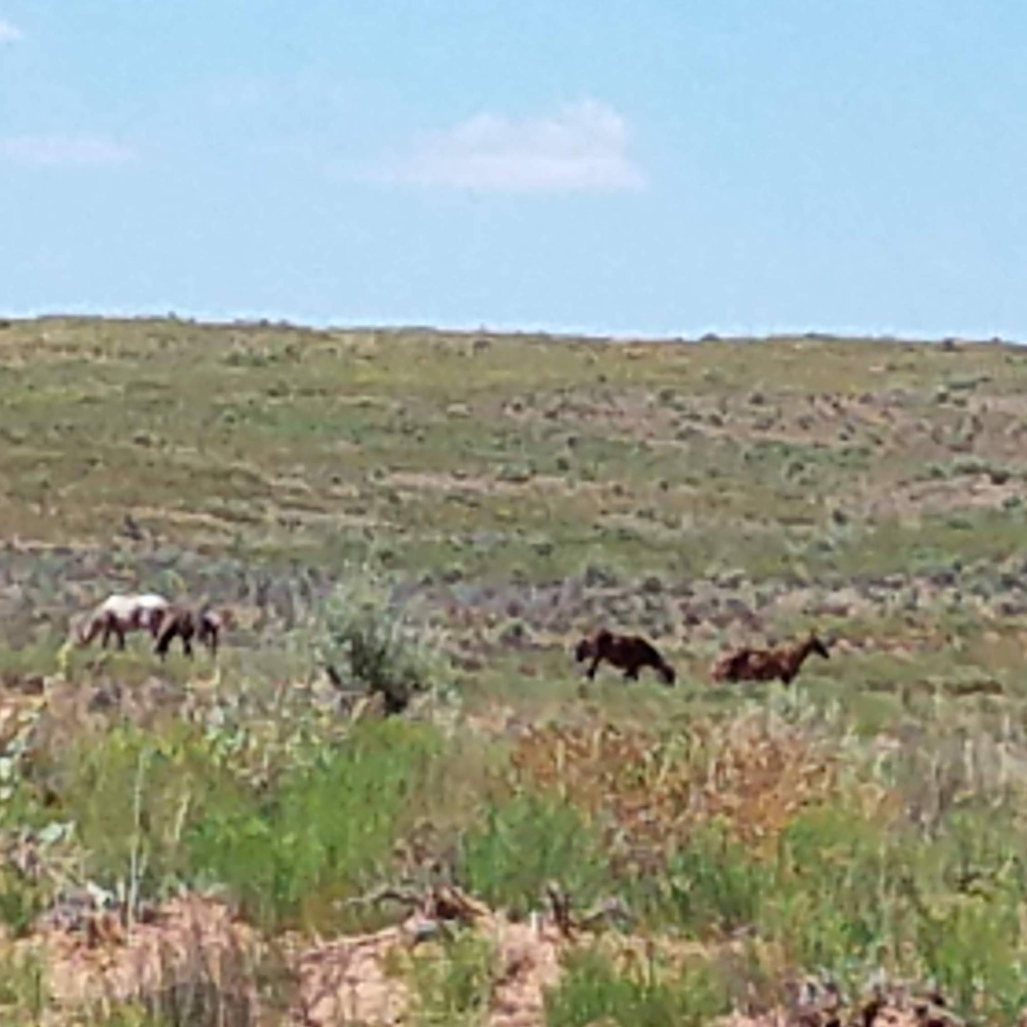
On to Little Hovenweep, we head south on Cahone Mesa Rd and find lots of wild horses! So exciting to see – yes, a romanticized vision, but still so beautiful to watch them race across the valleys and mesas.

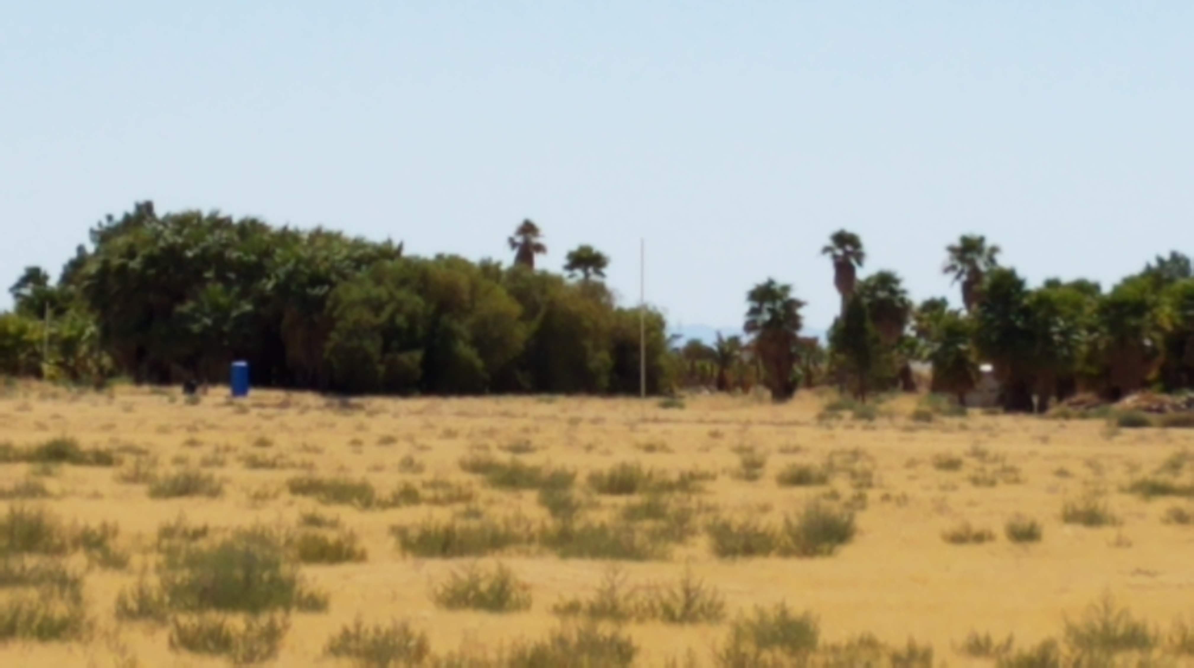
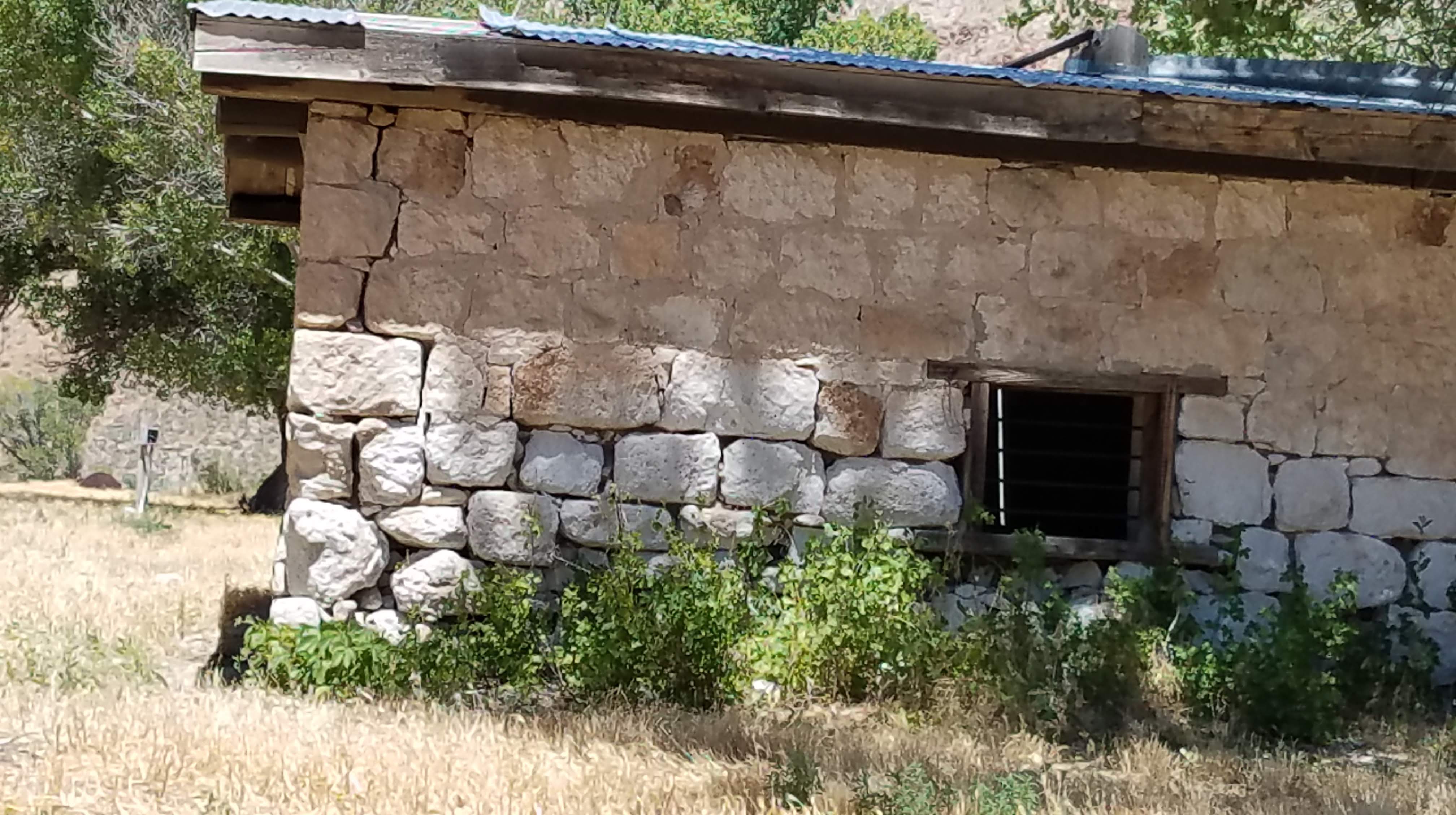
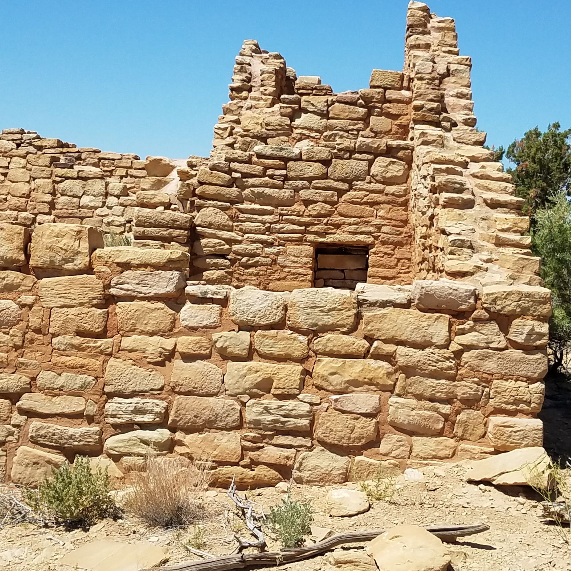
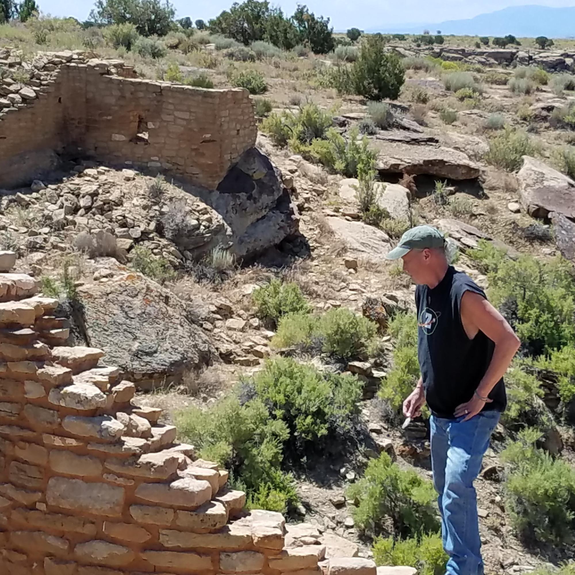
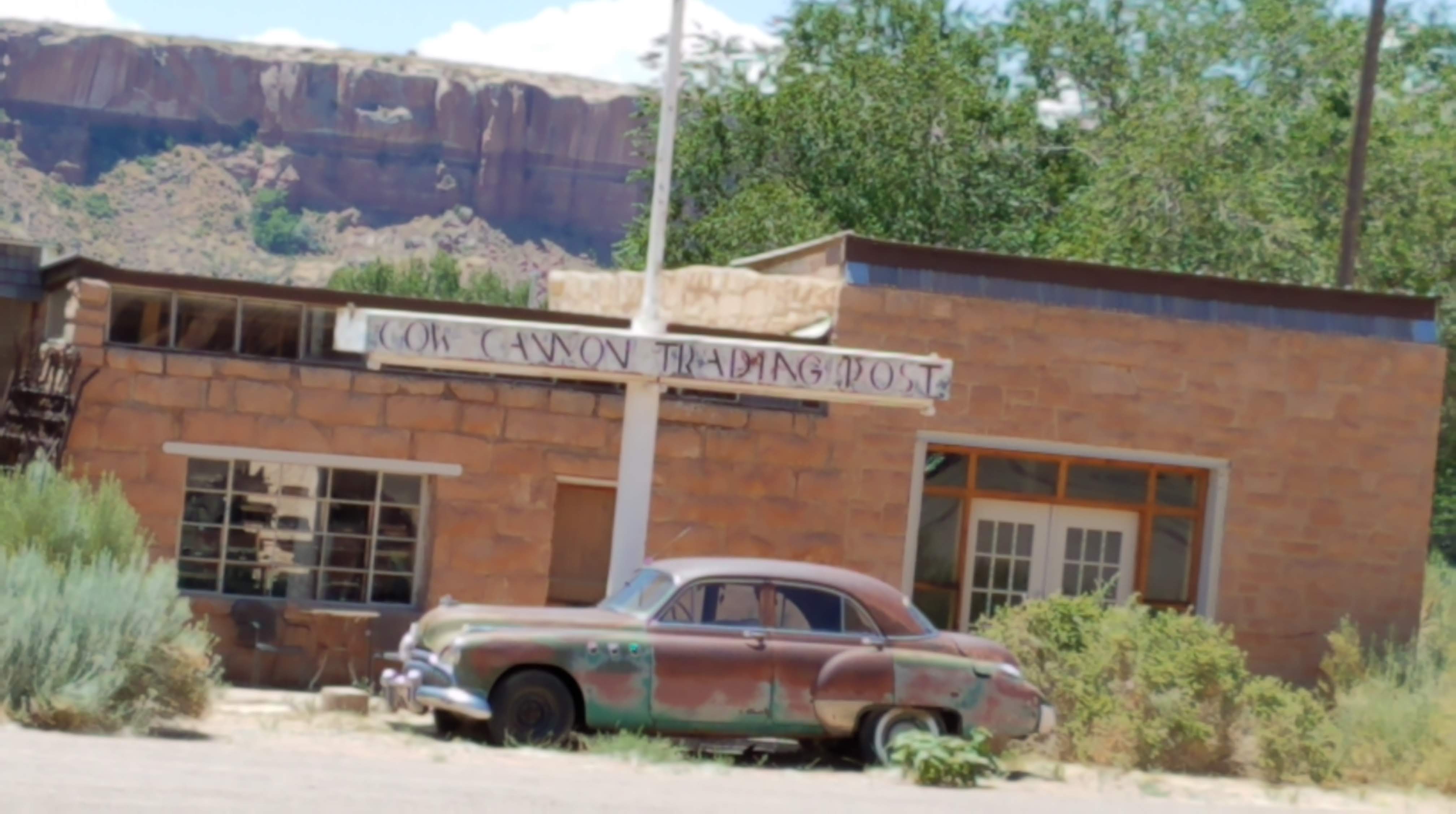
Continue south on Old Aneth Cutoff Rd and see Cool Springs House, then back to 262 and then right on 282 following the San Juan River into Montezuma Creek.

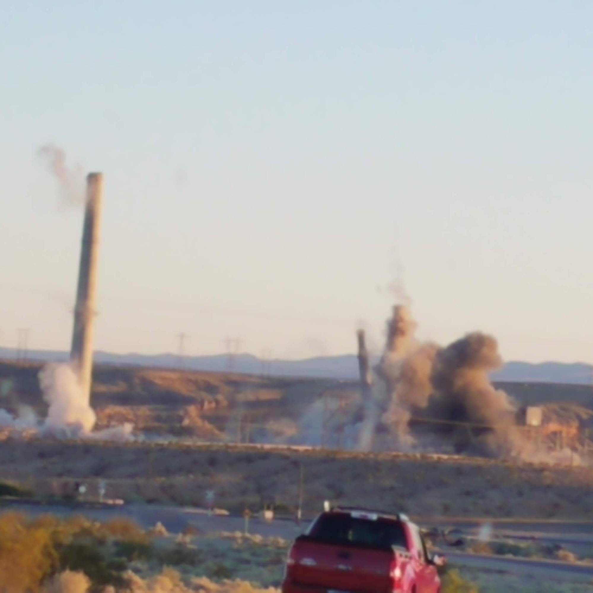
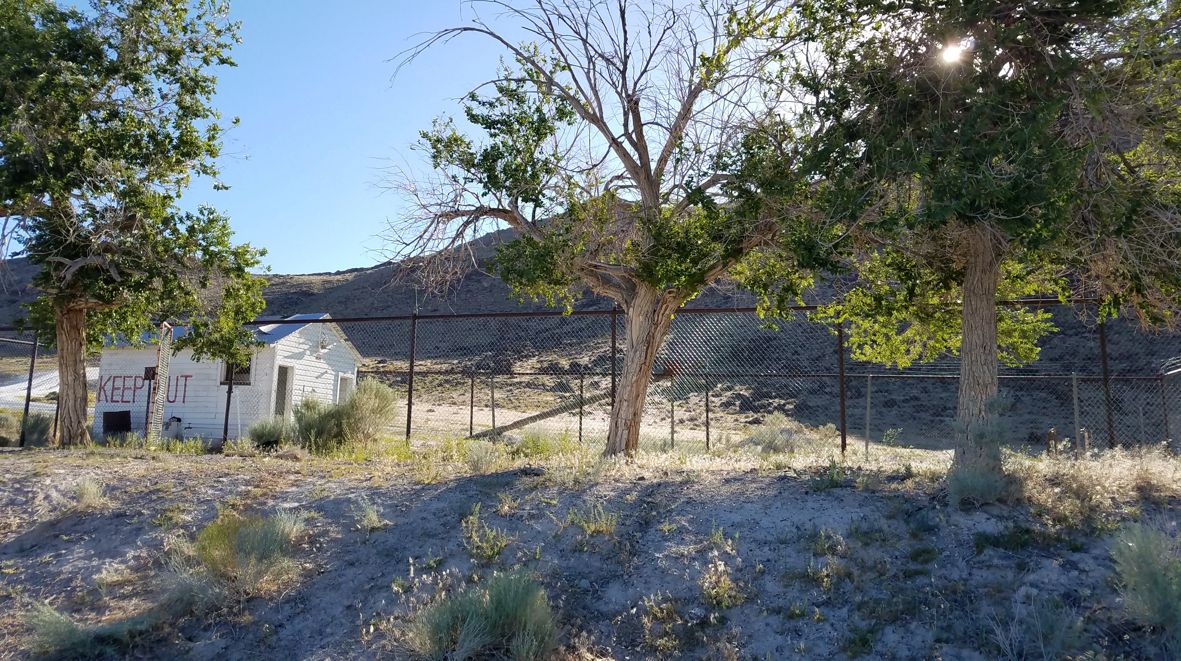
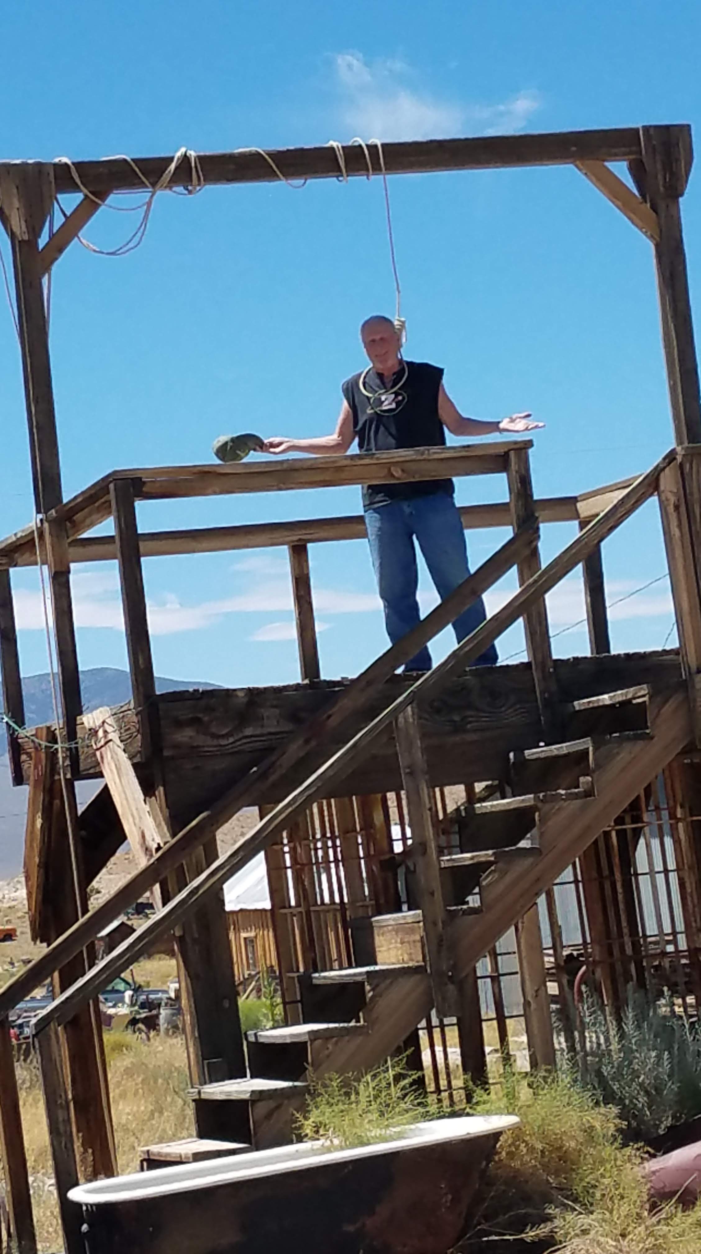
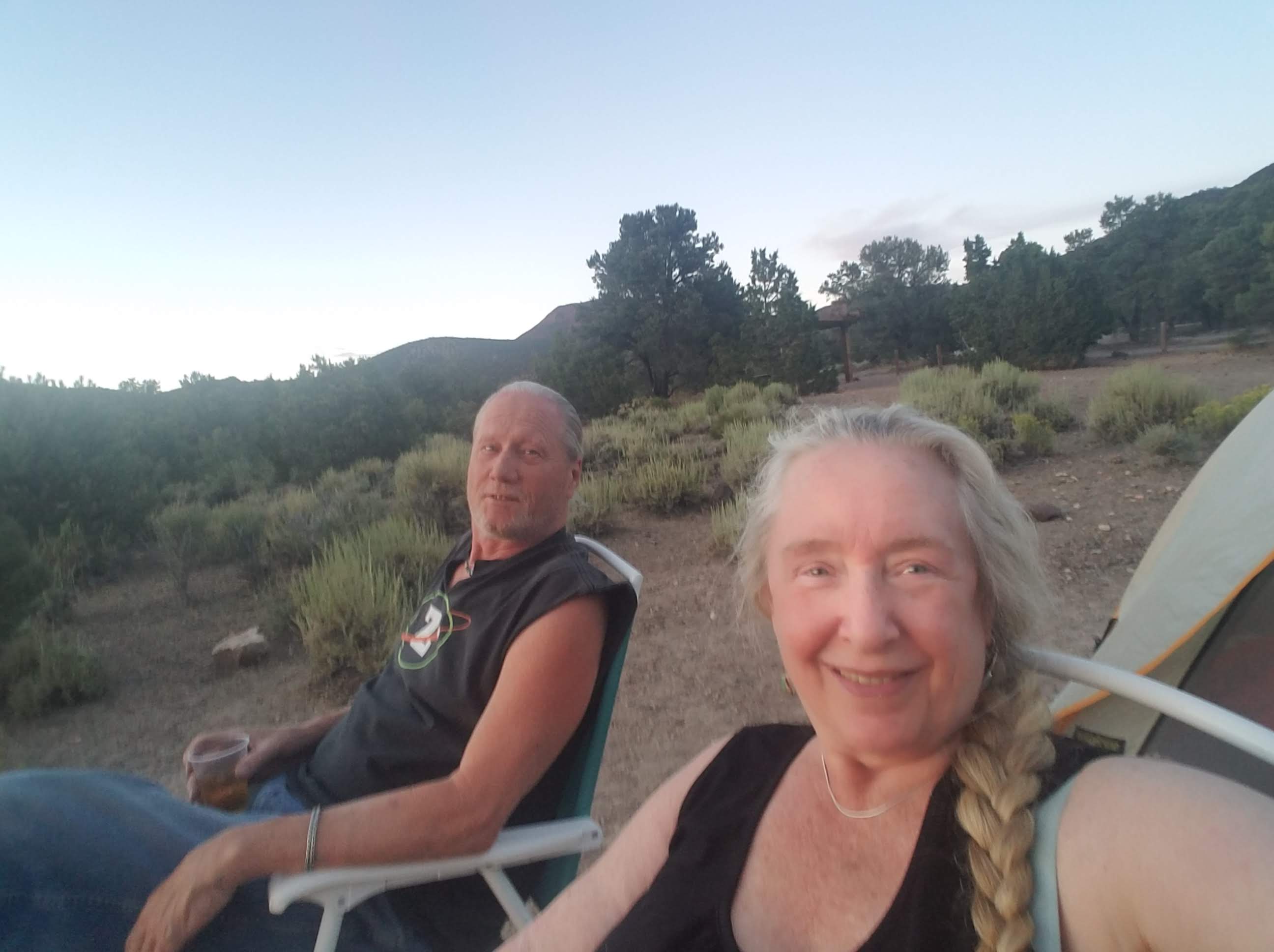
We are on Red Rock Mesa and spotted a road down to the river. A barbed wire fence needing opening and while Steve was doing this he suddenly spotted his very first Ringtail! He dropped the fence and tried to find it, but it was too quick and clever. He opened the gate, we drove in and parked and walked a trail down to the river. All of a sudden there were hundreds of mosquitos swarming us. Steve yelled “RUN” and we did, our second time recreating the cartoon of someone running from a swarm of something!

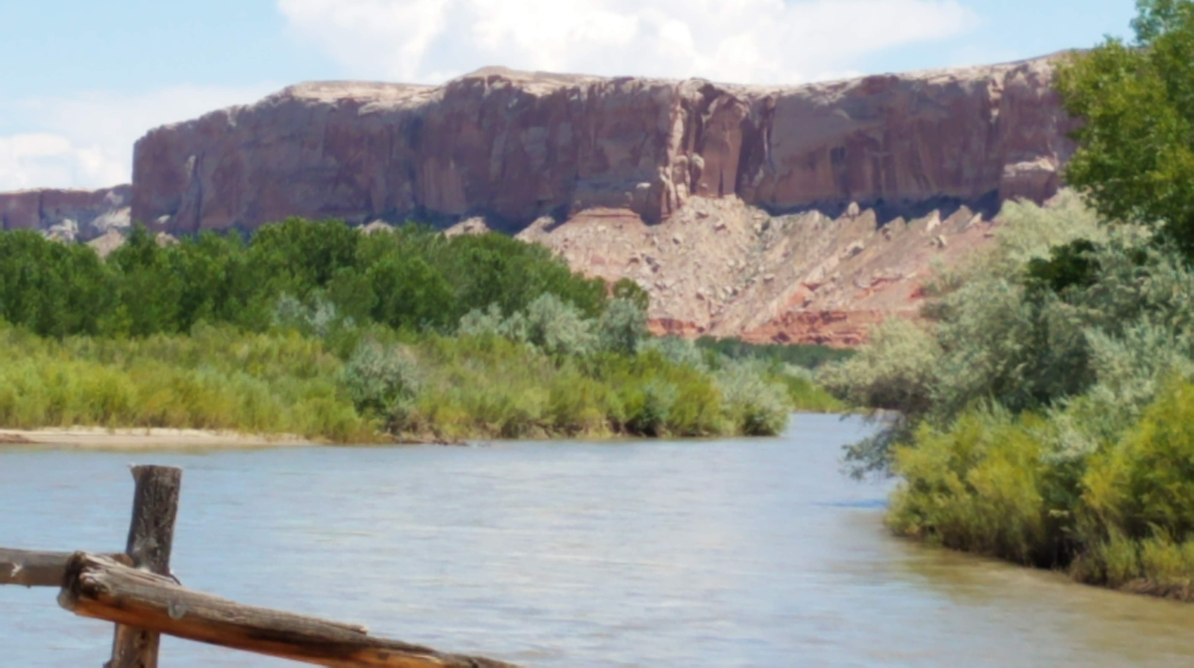
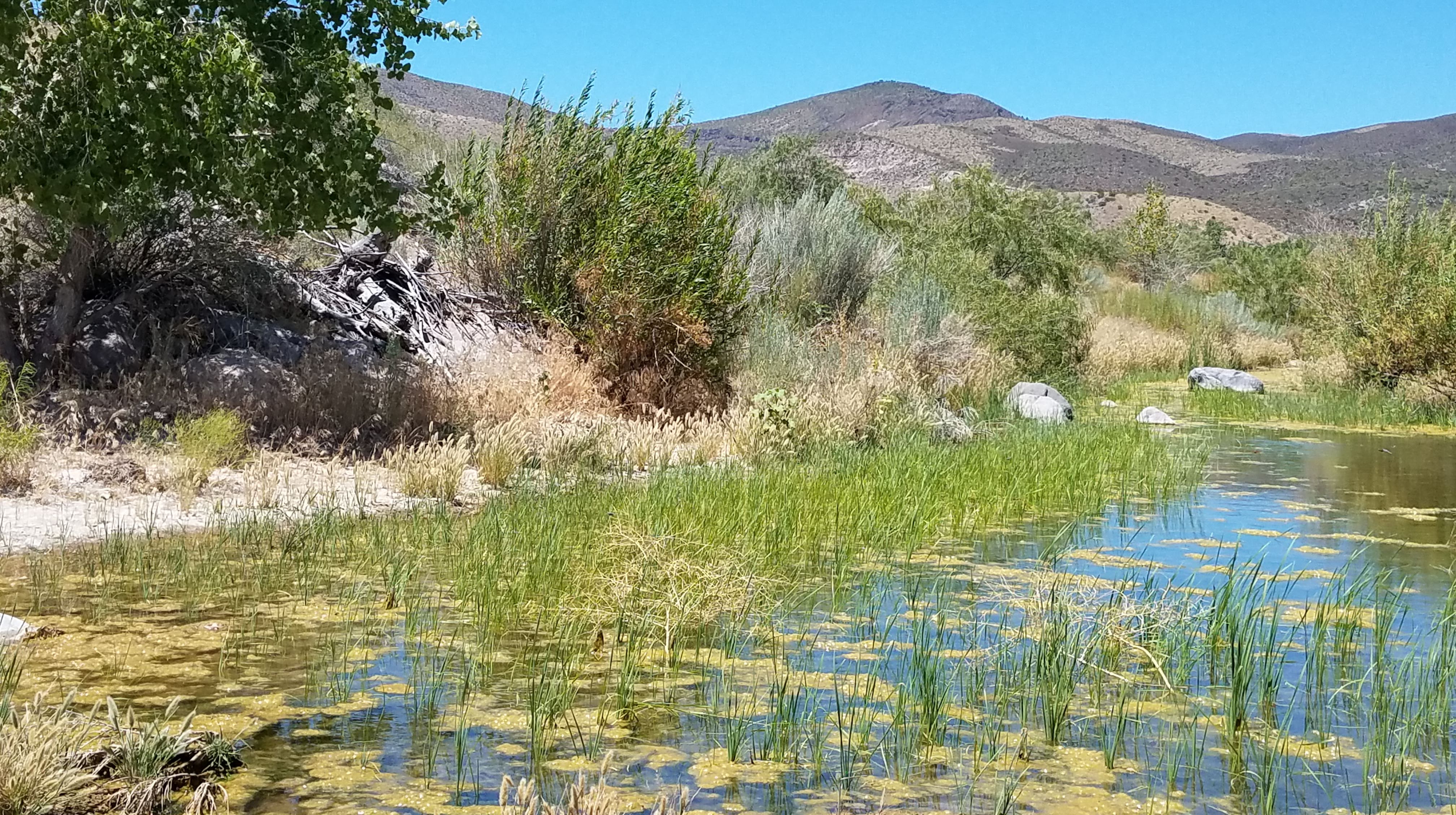
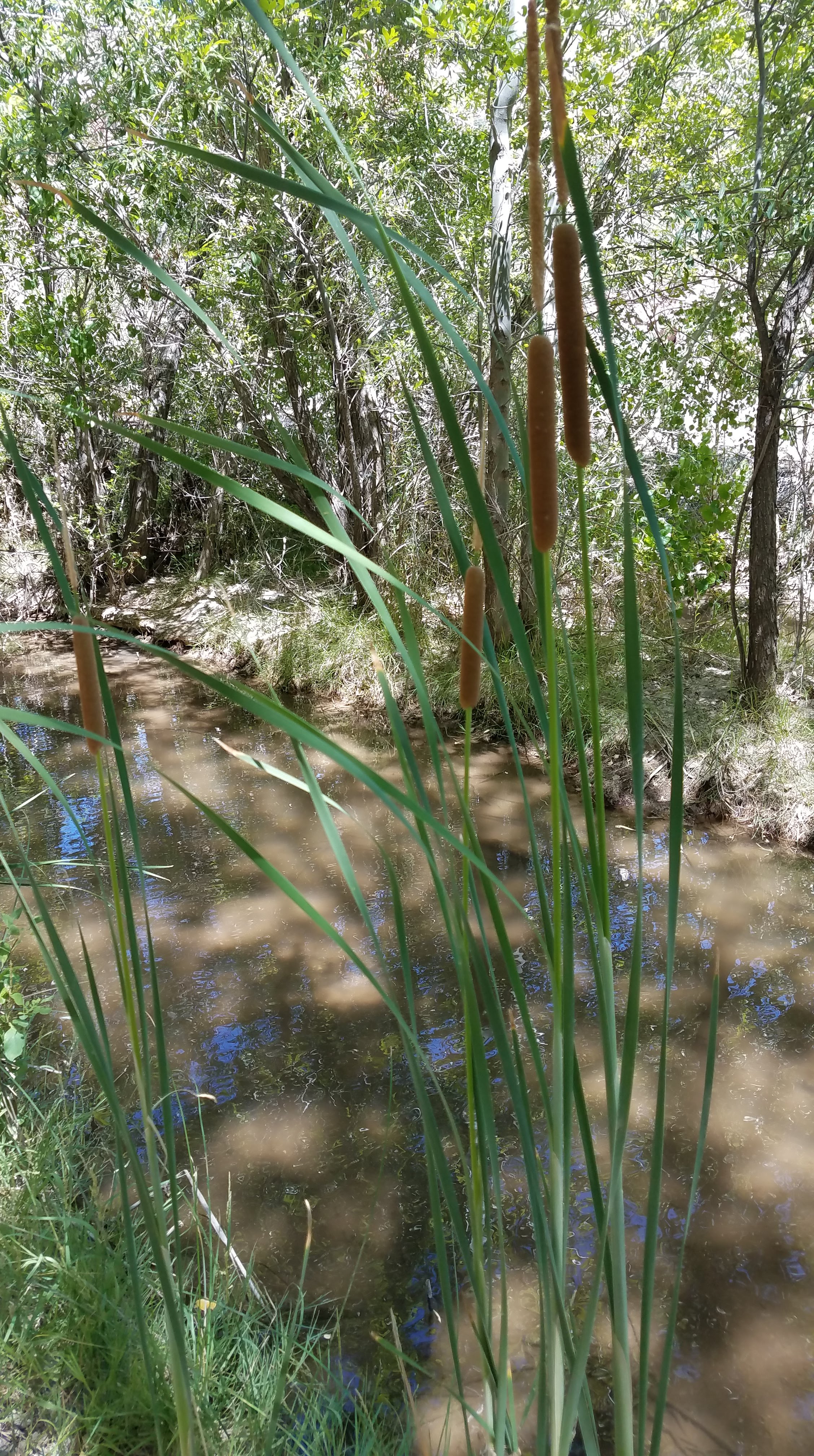
Back to 191 towards Bluff, to 262. We stopped at a small camp and boat launch to look at the river, and sat with three Kansas U grad students taking a break from researching on the fish in the river. They are all hopeful future fisheries workers and focused on conservation of species.

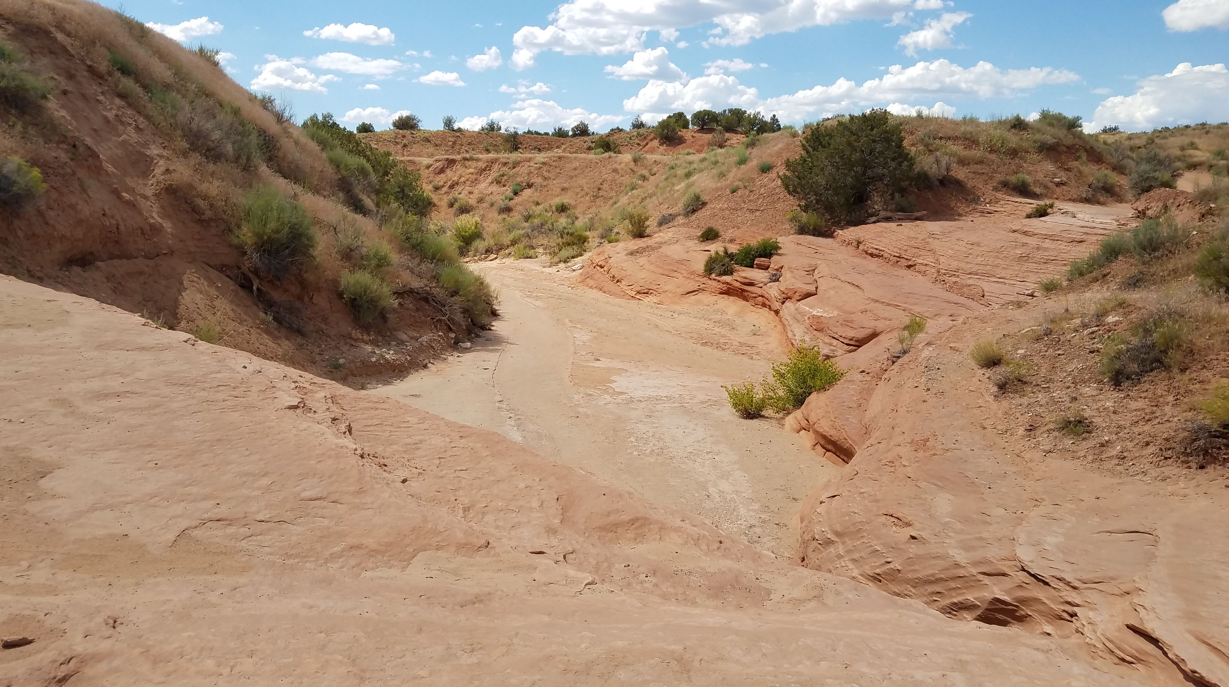
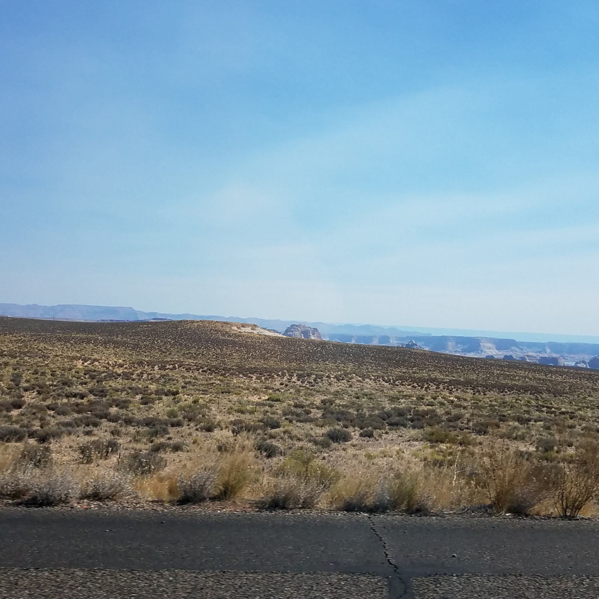
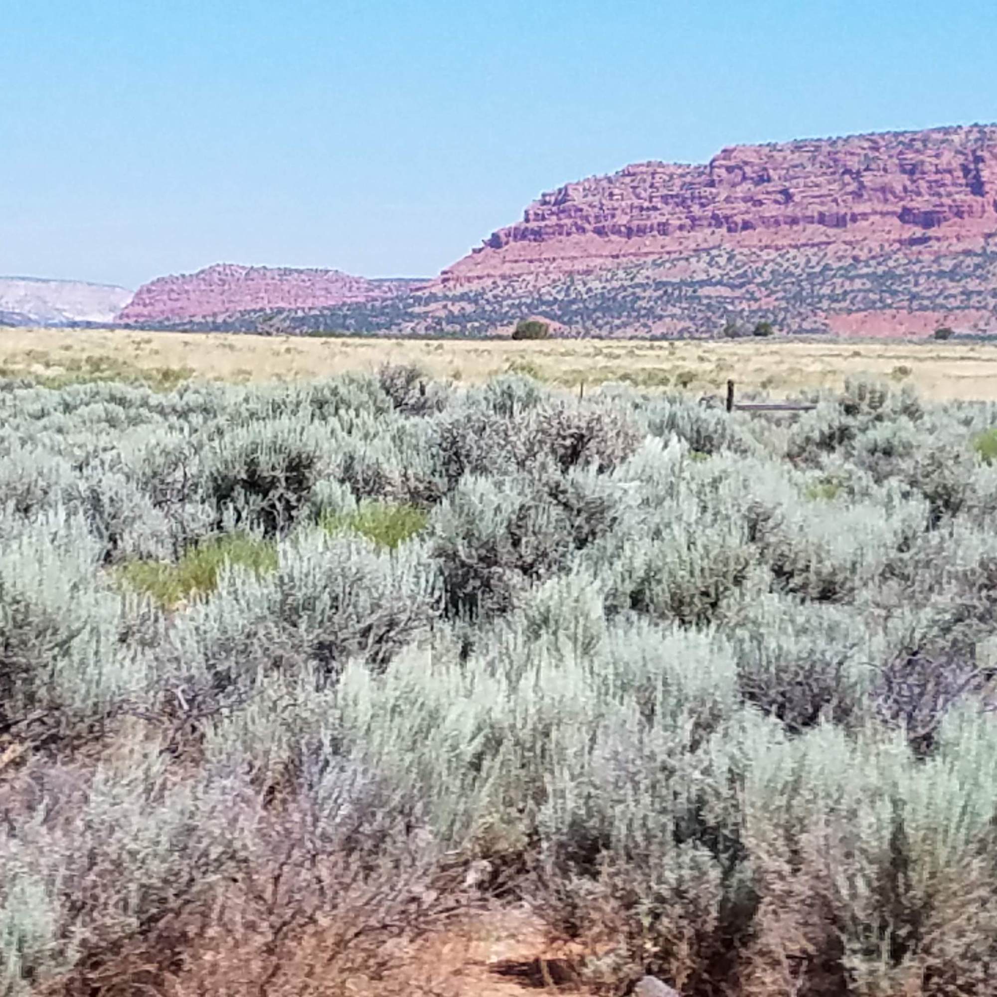
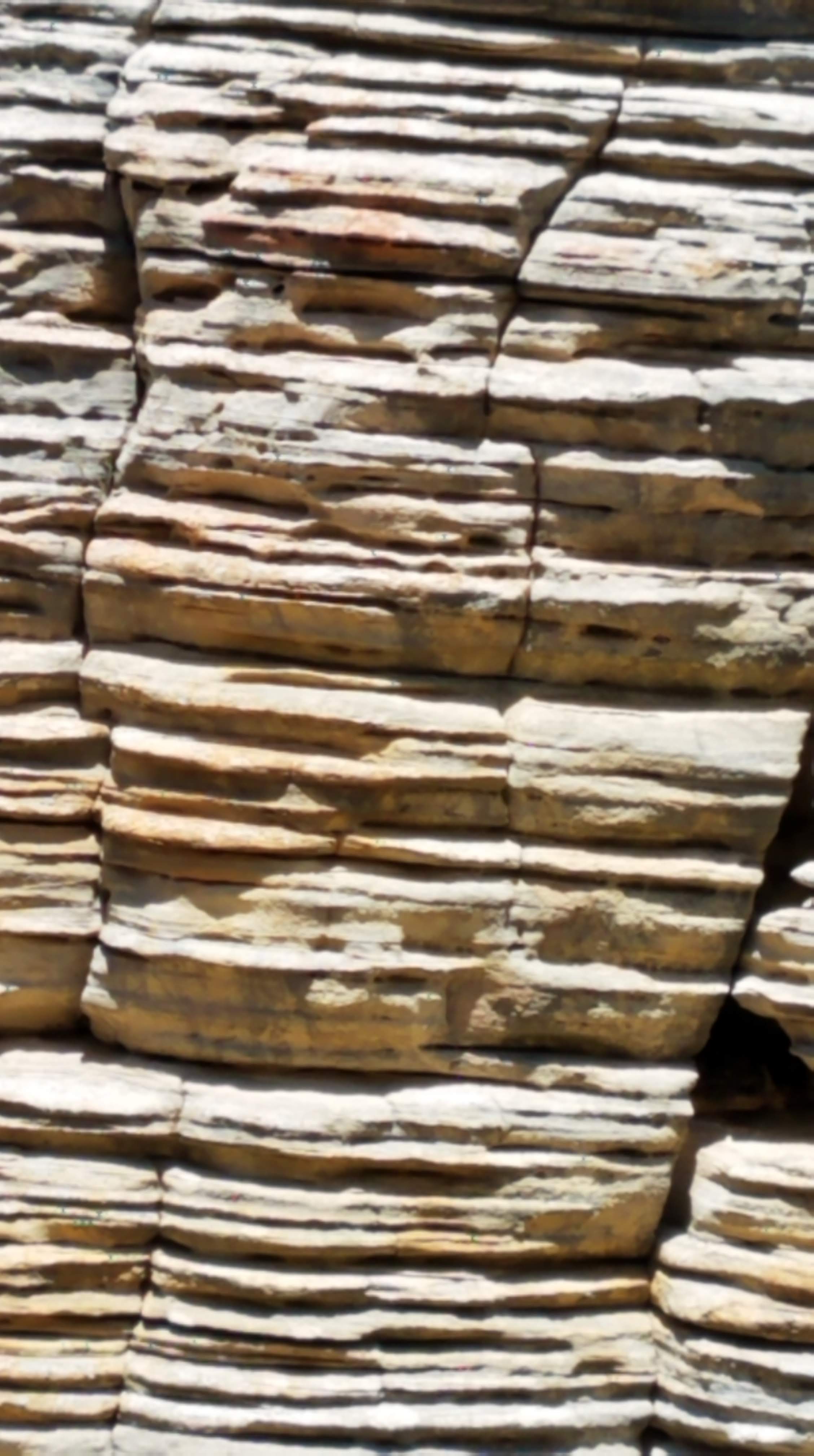
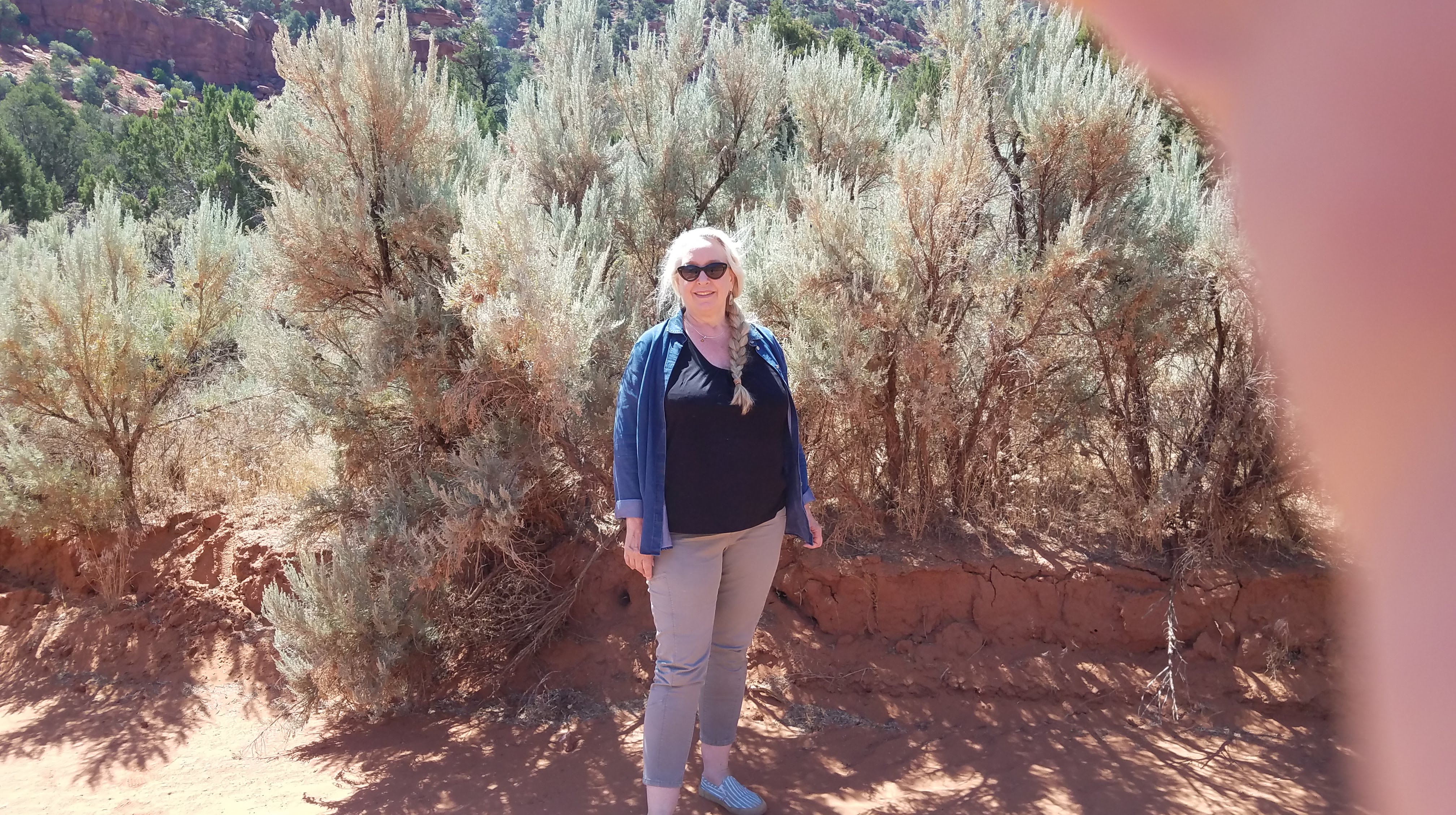
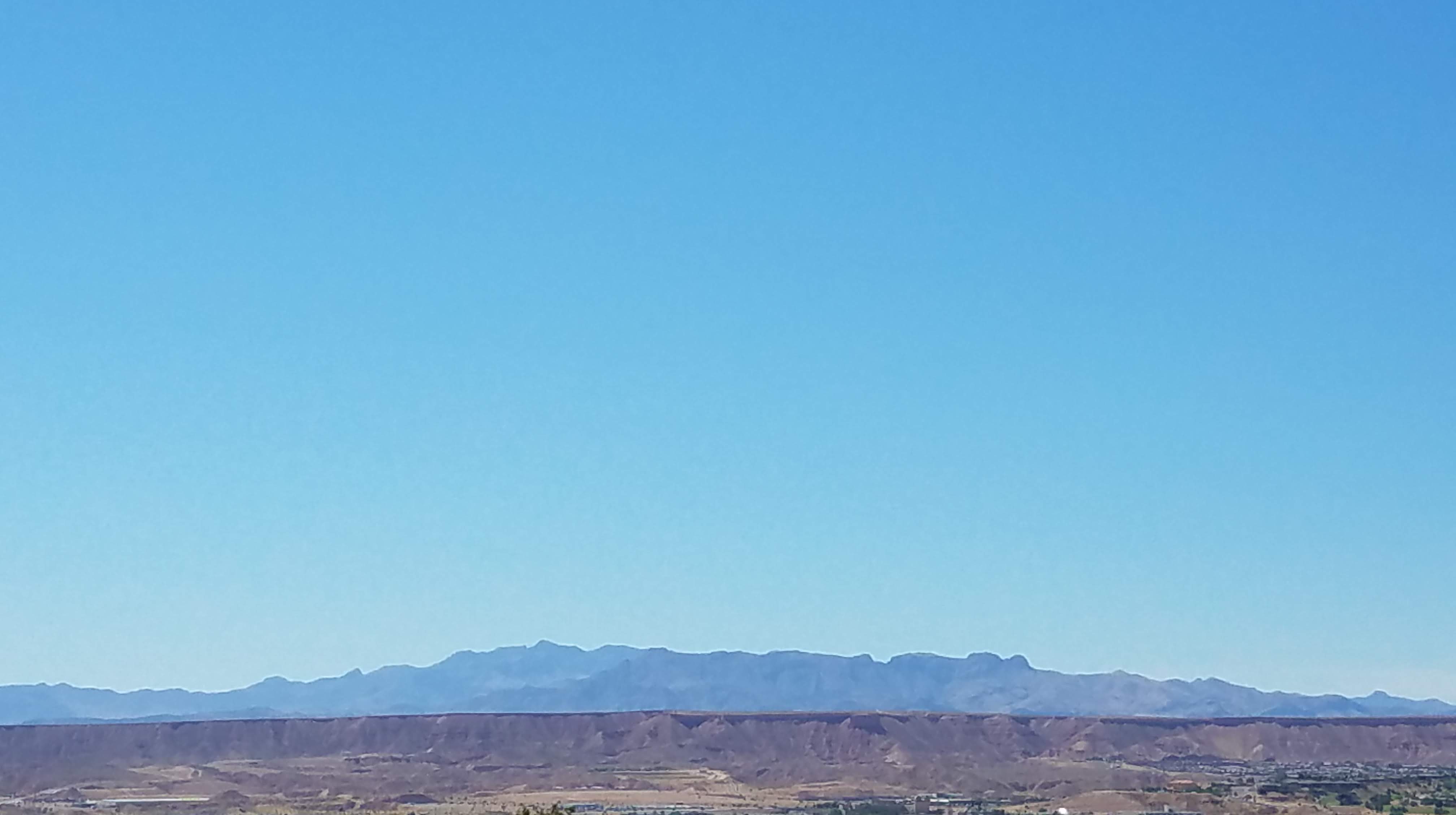
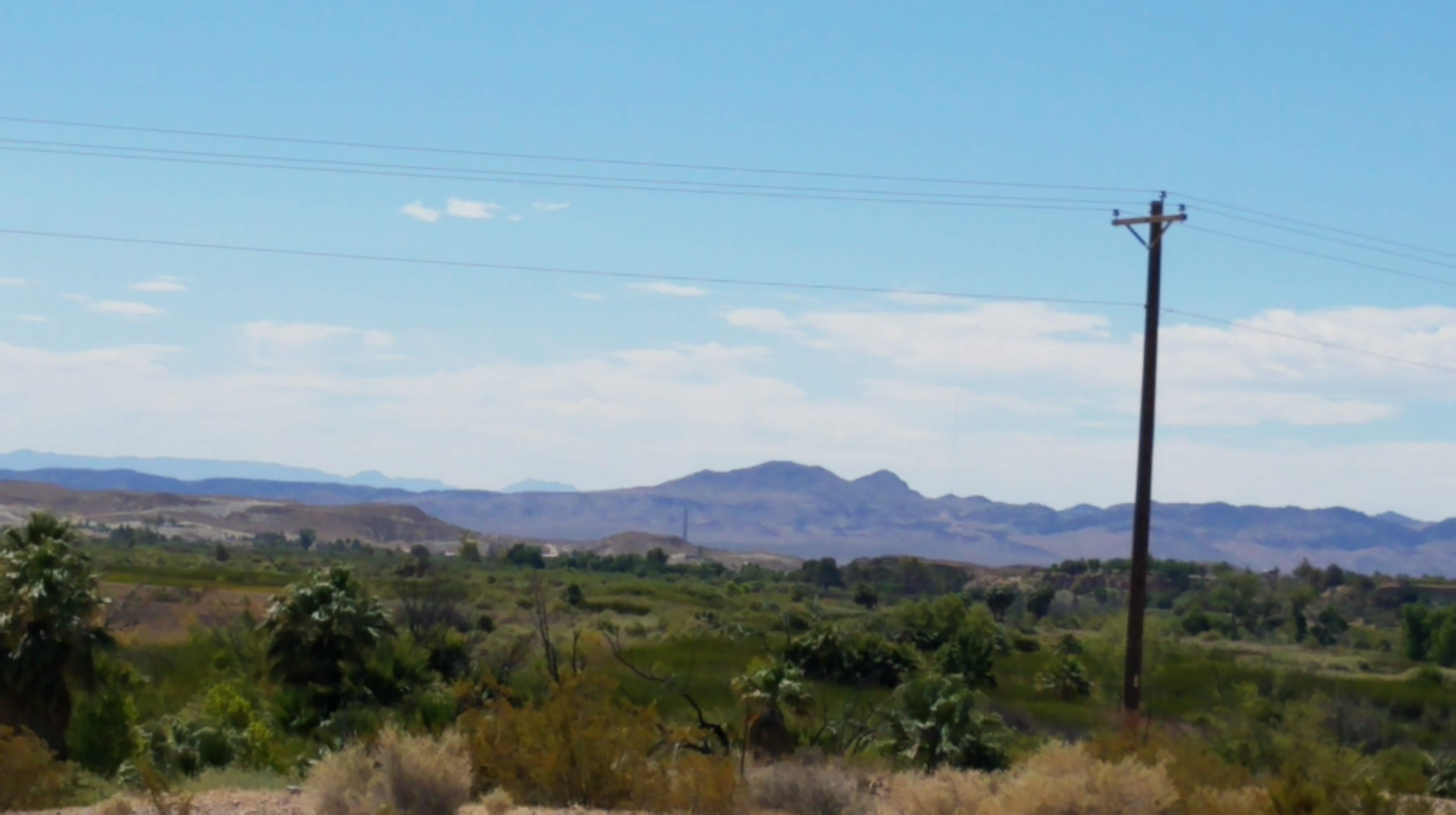
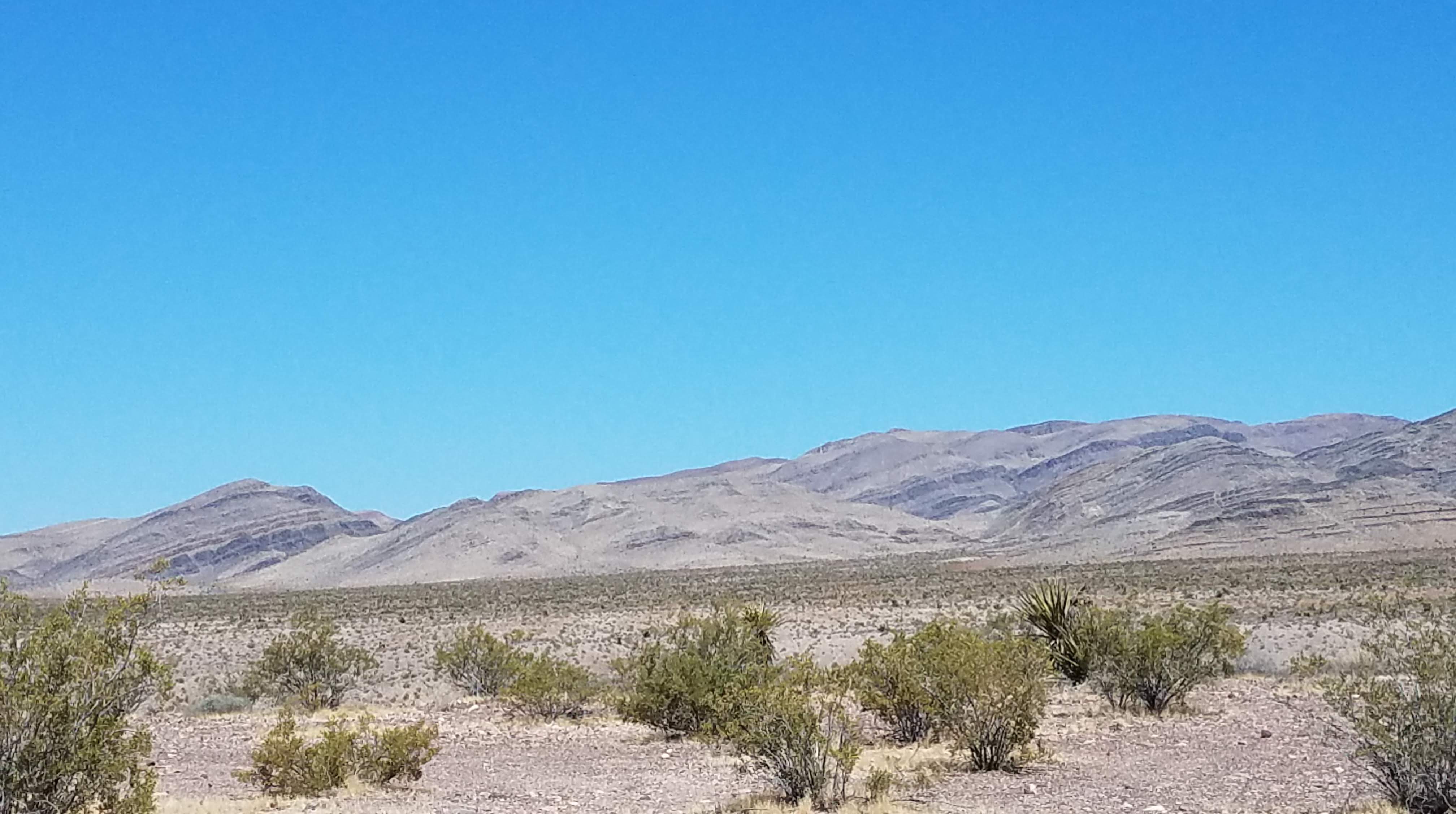
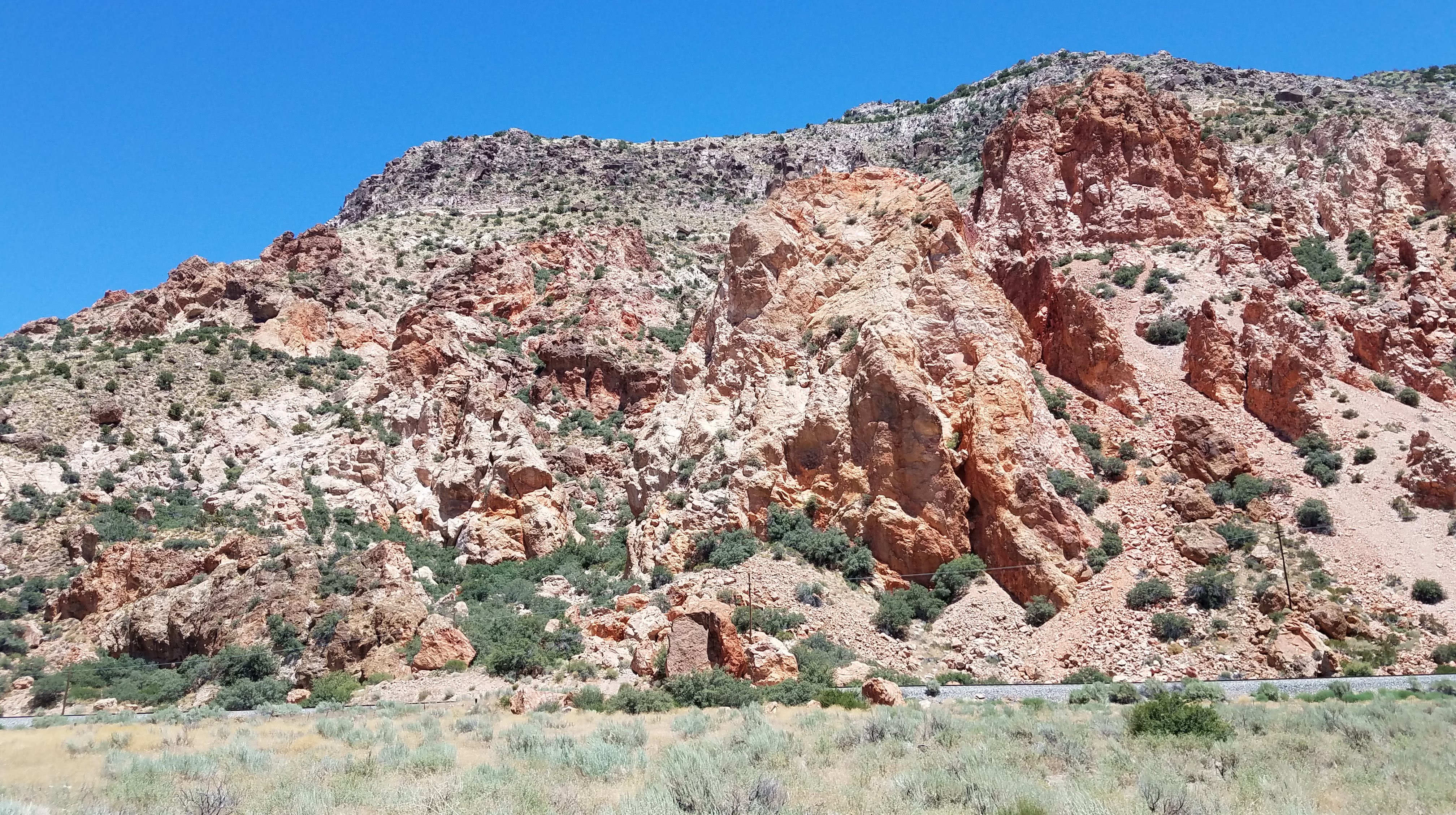
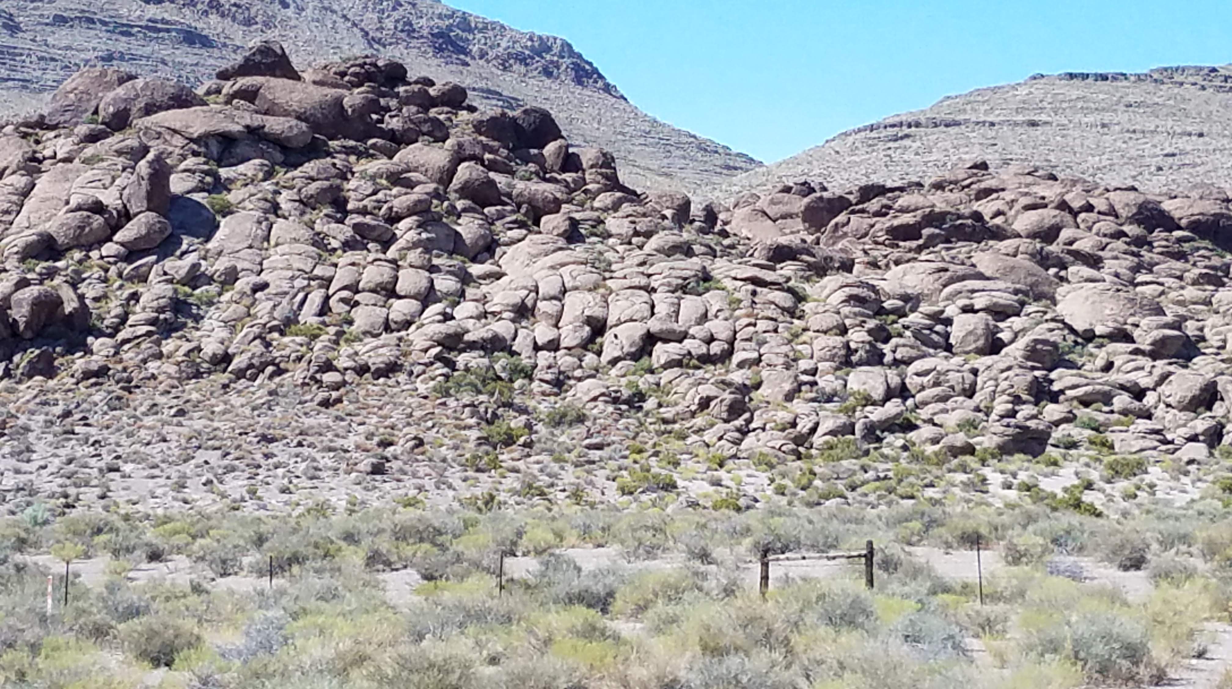
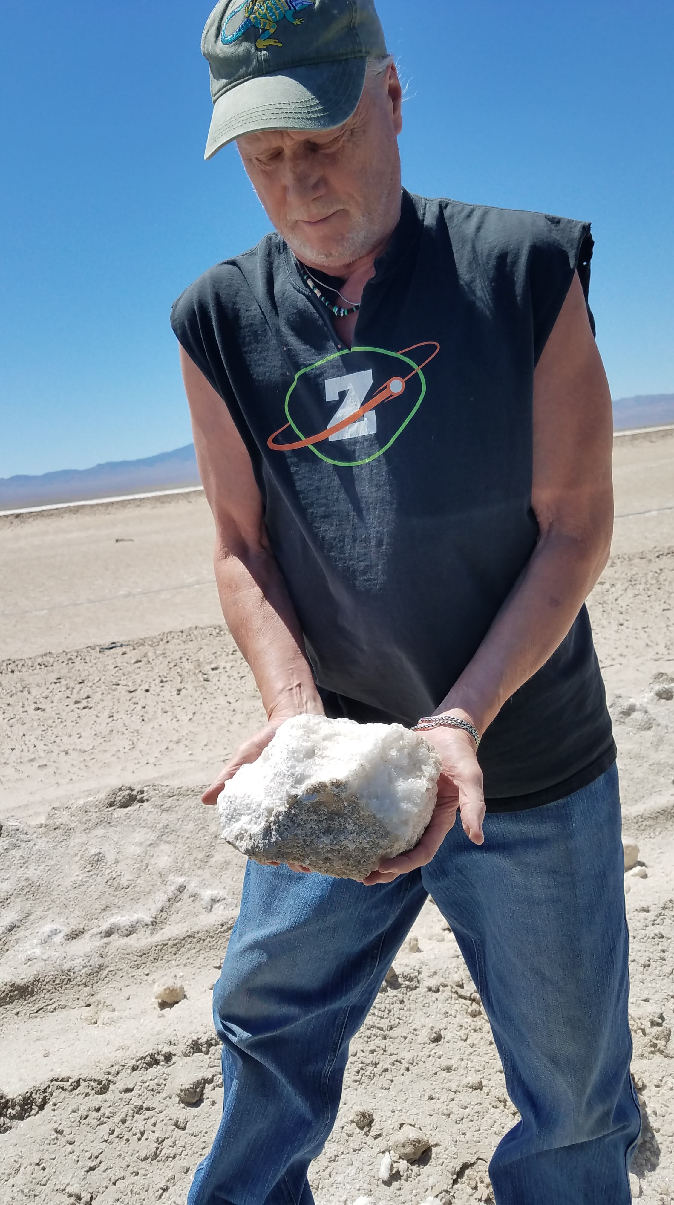
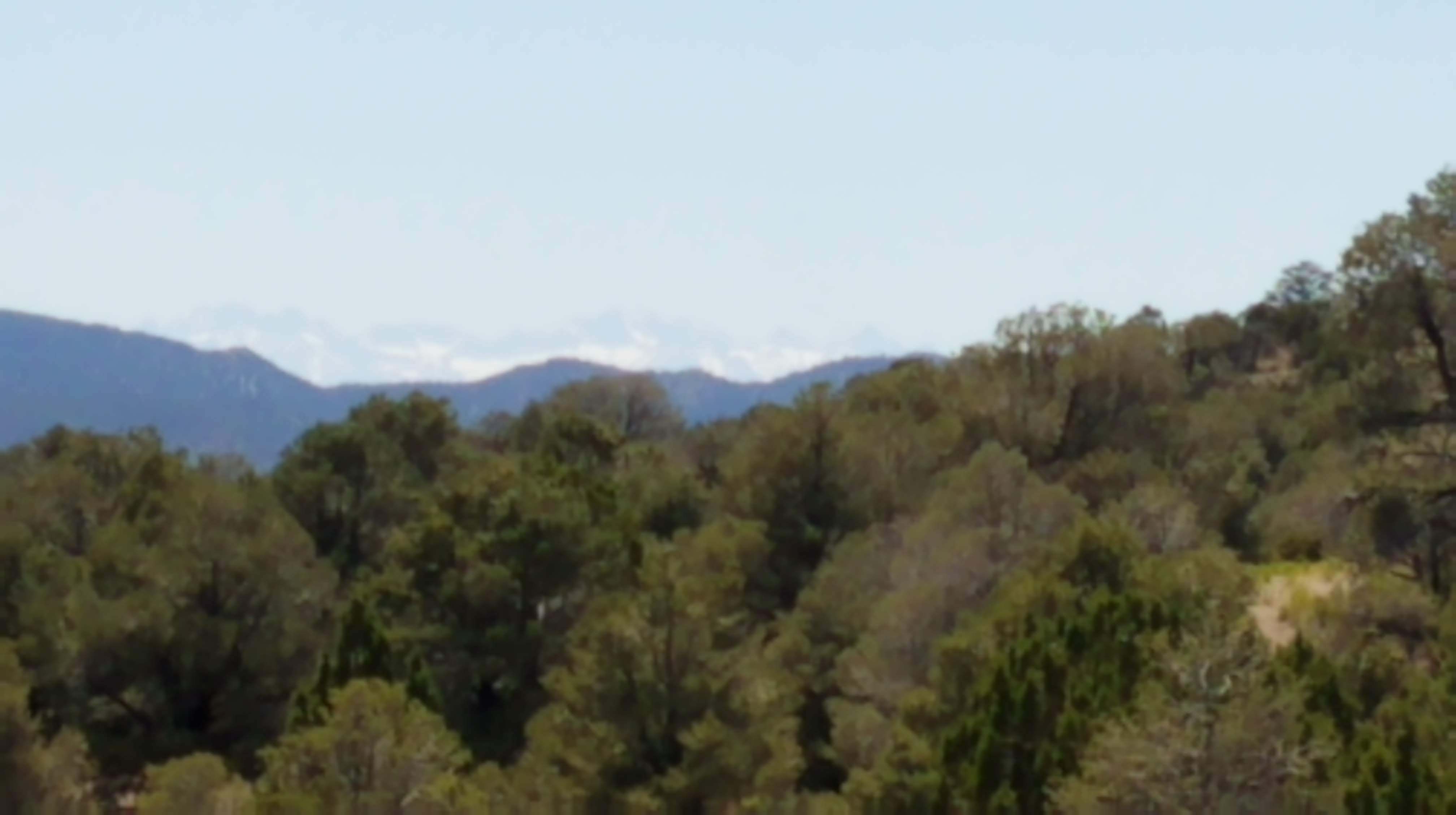
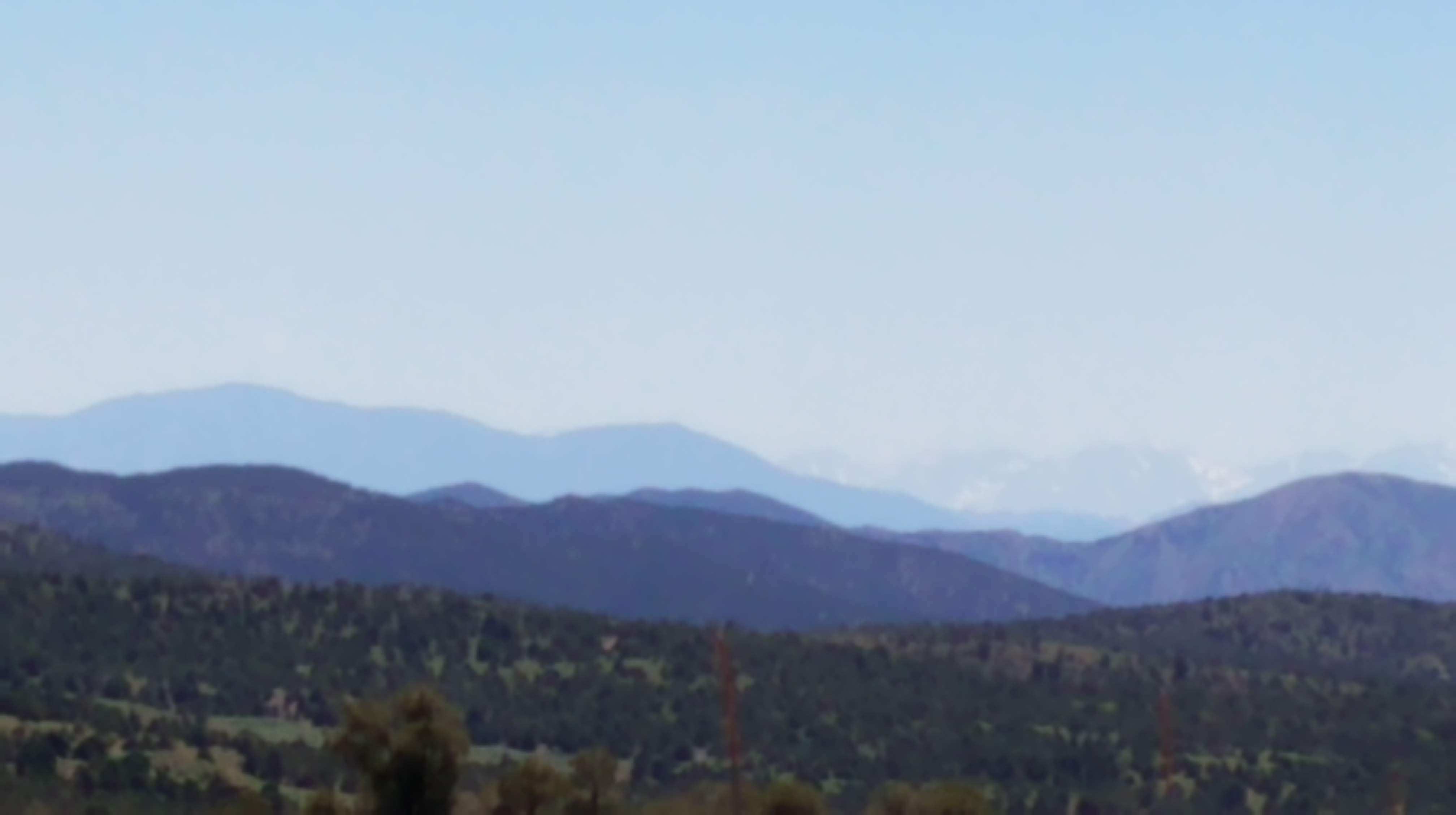
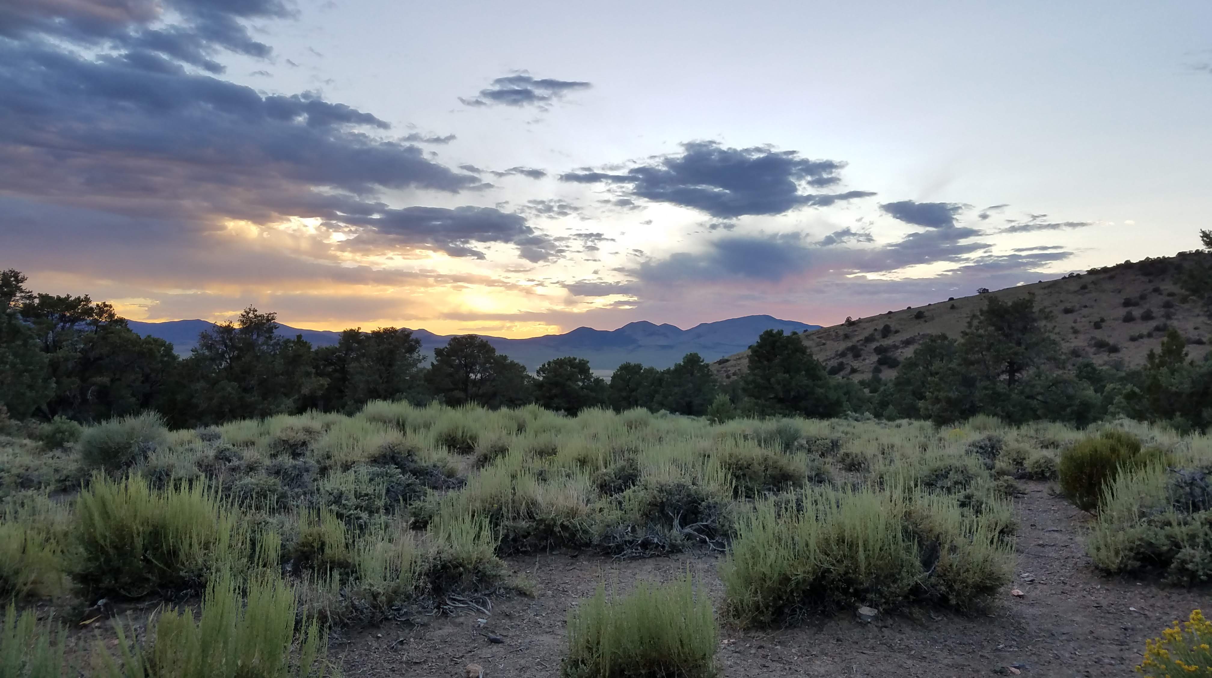
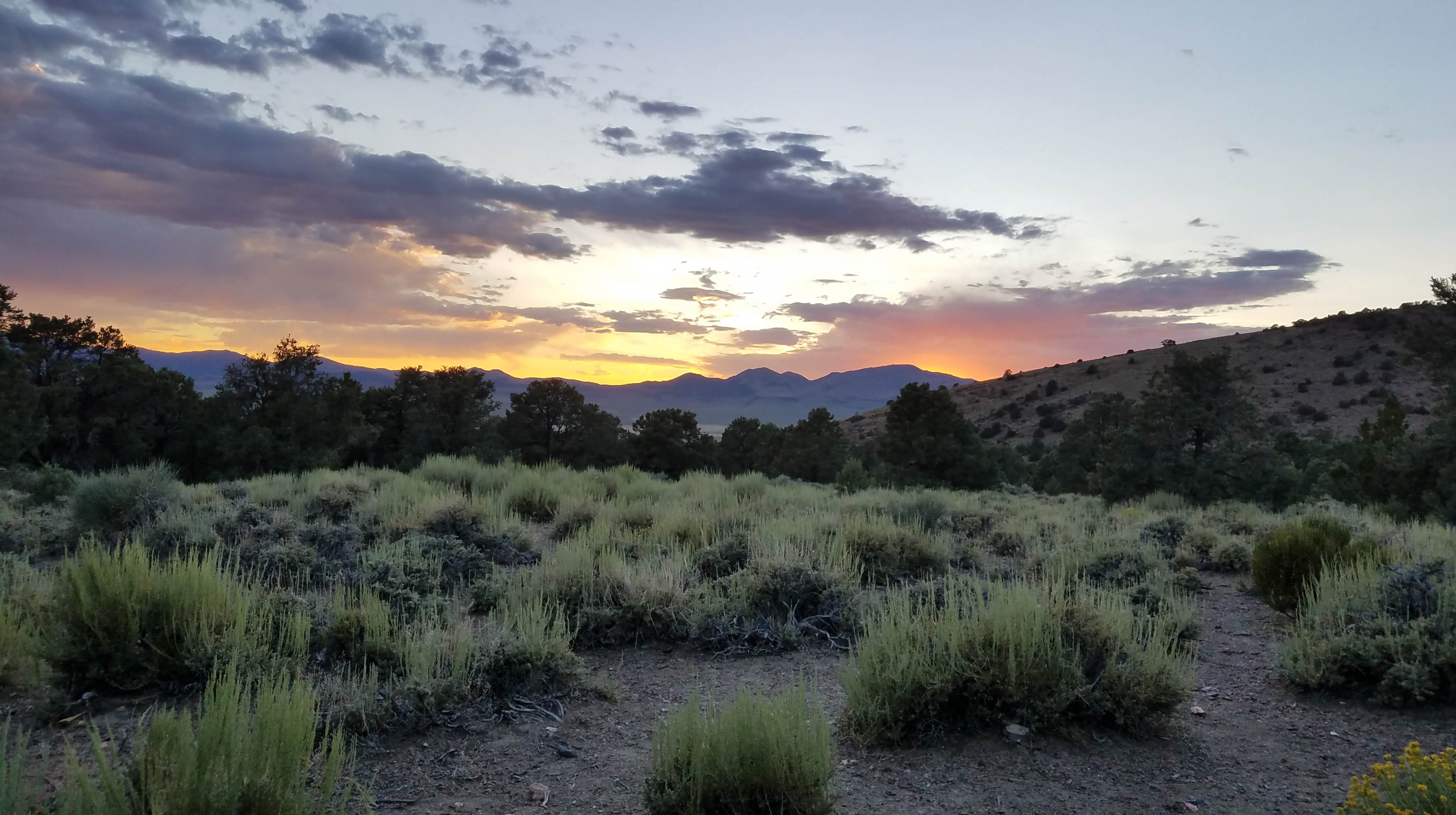
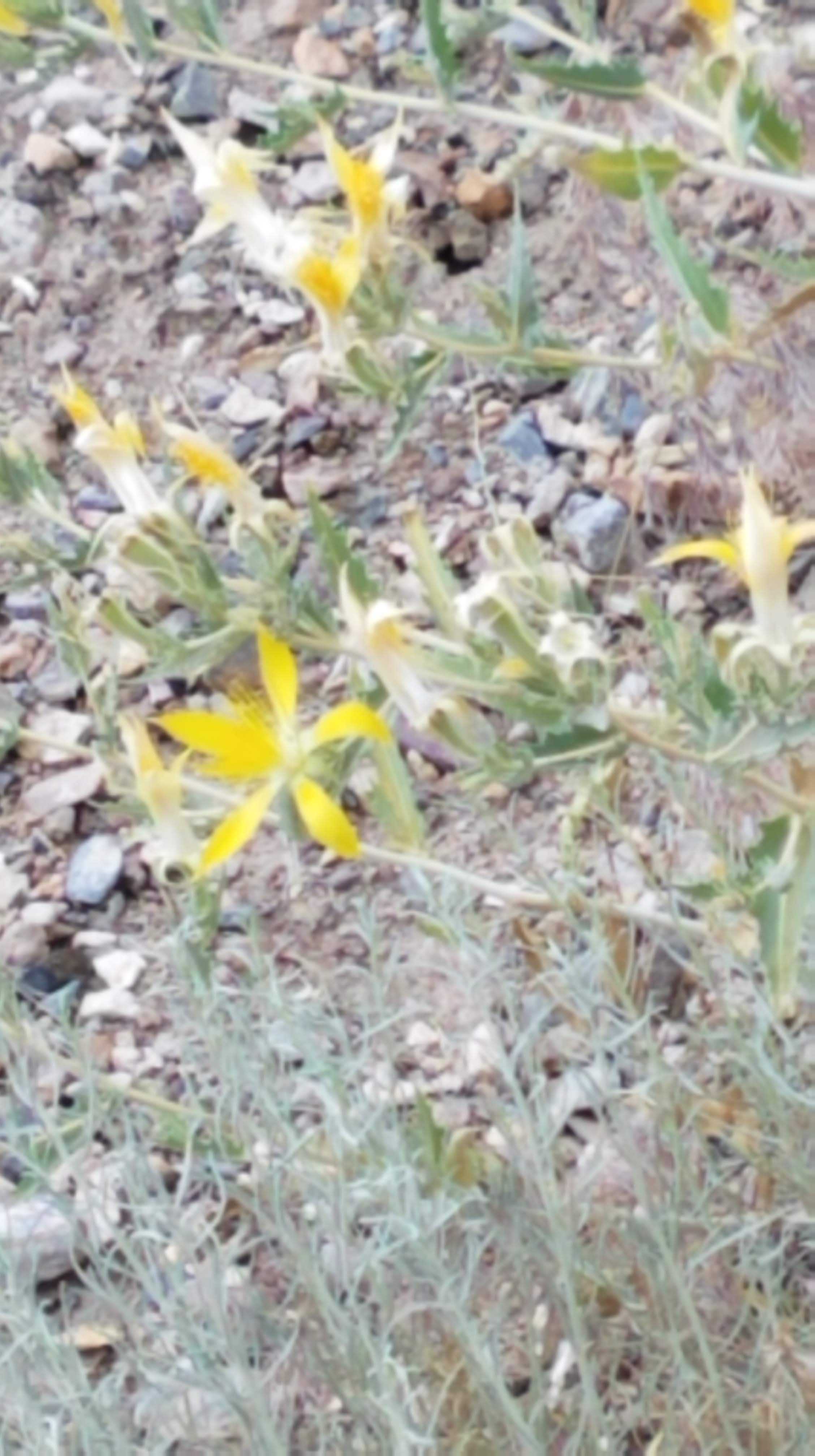
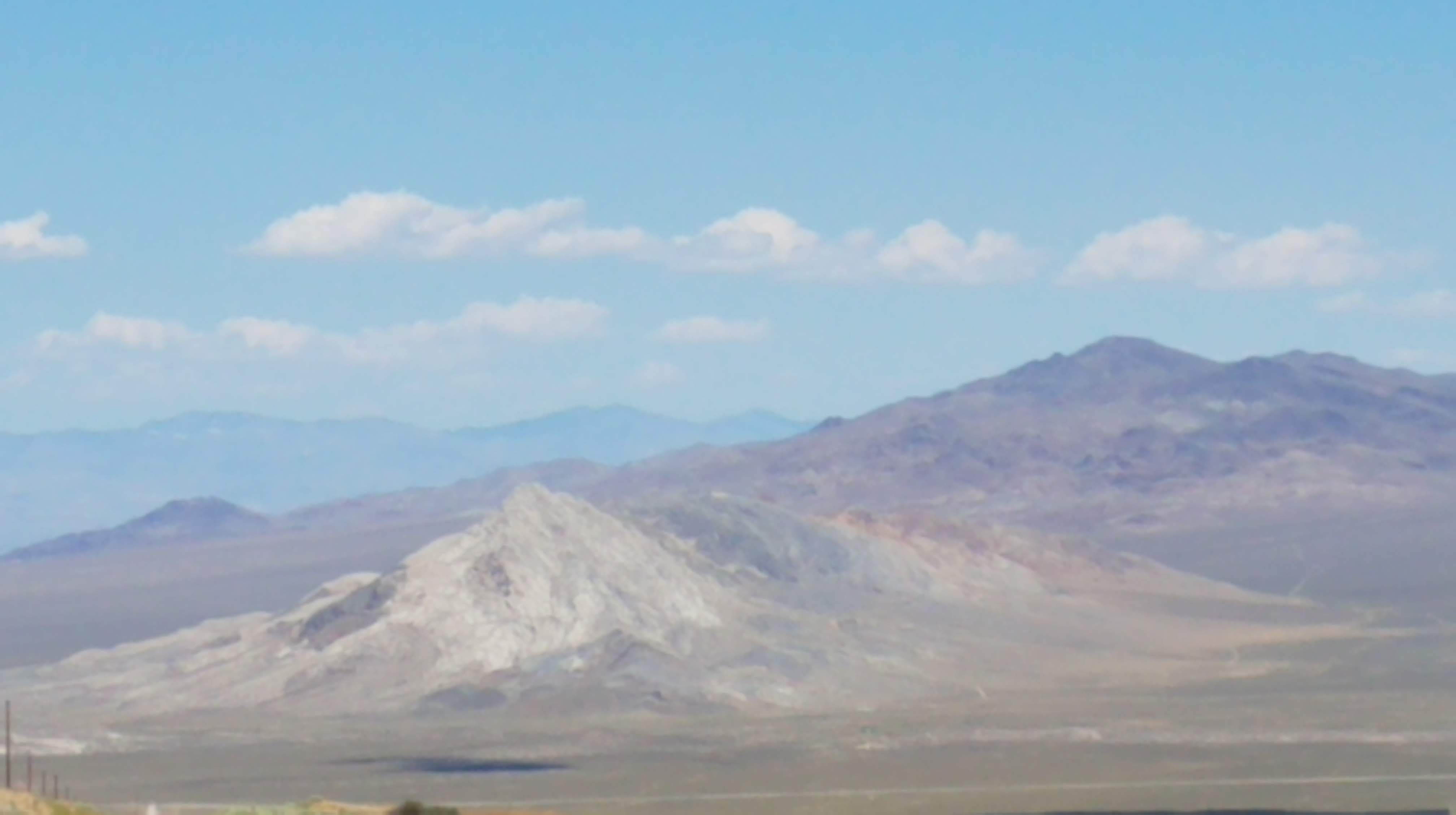
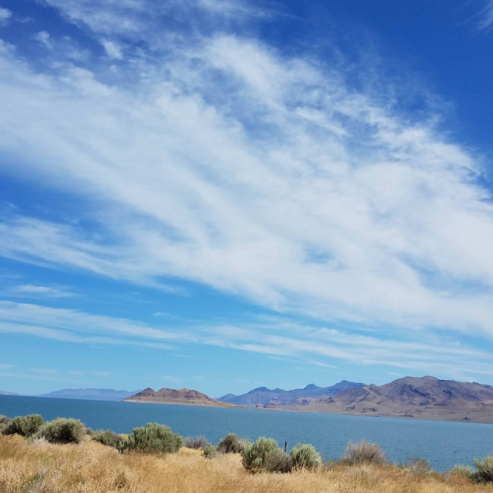
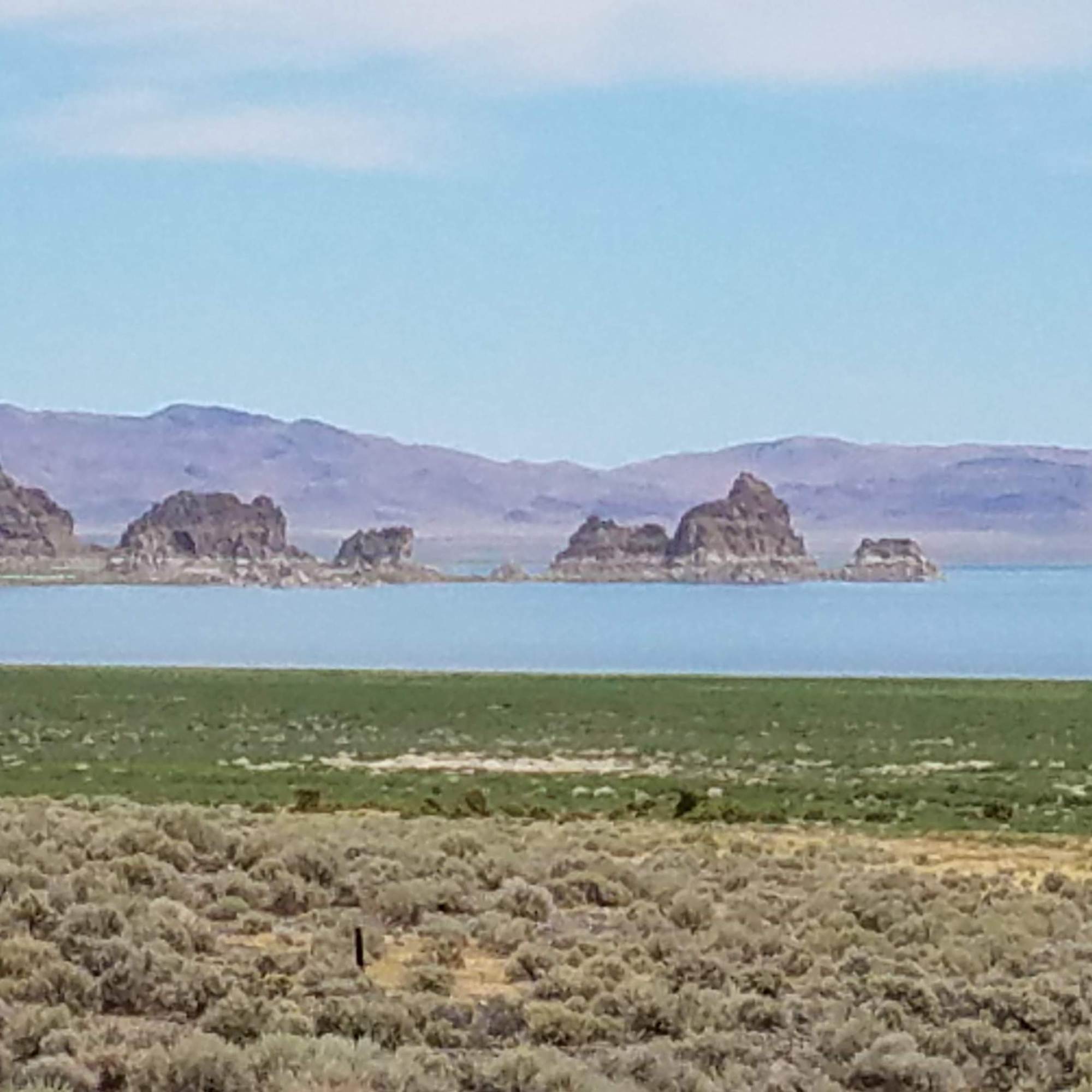
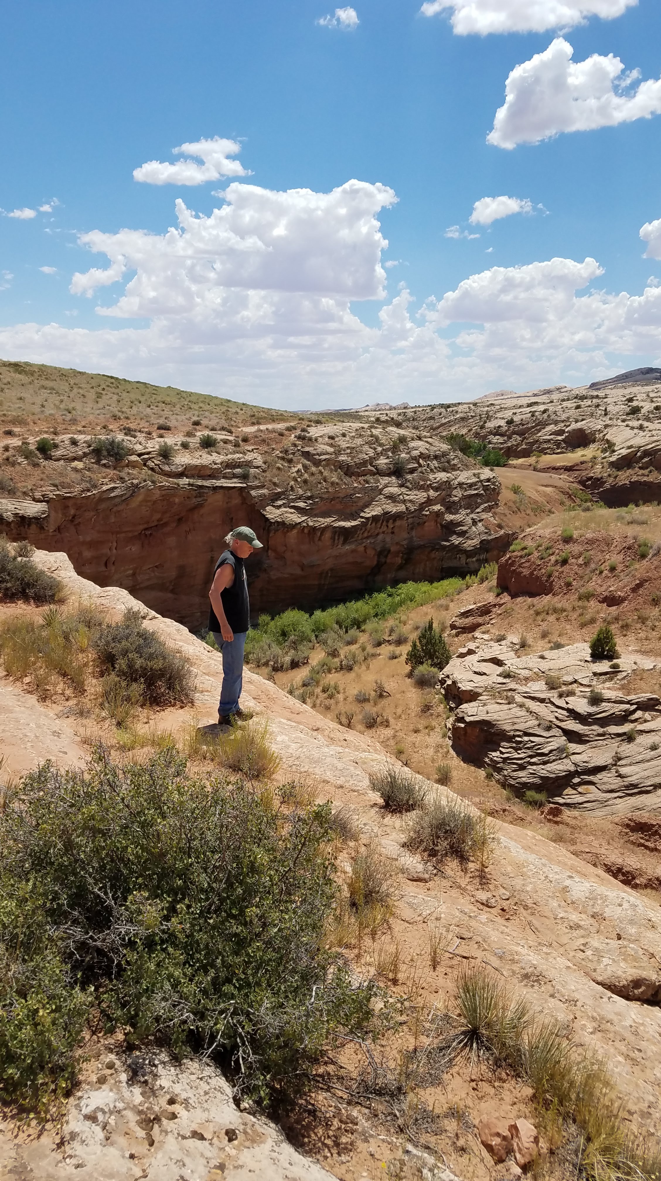
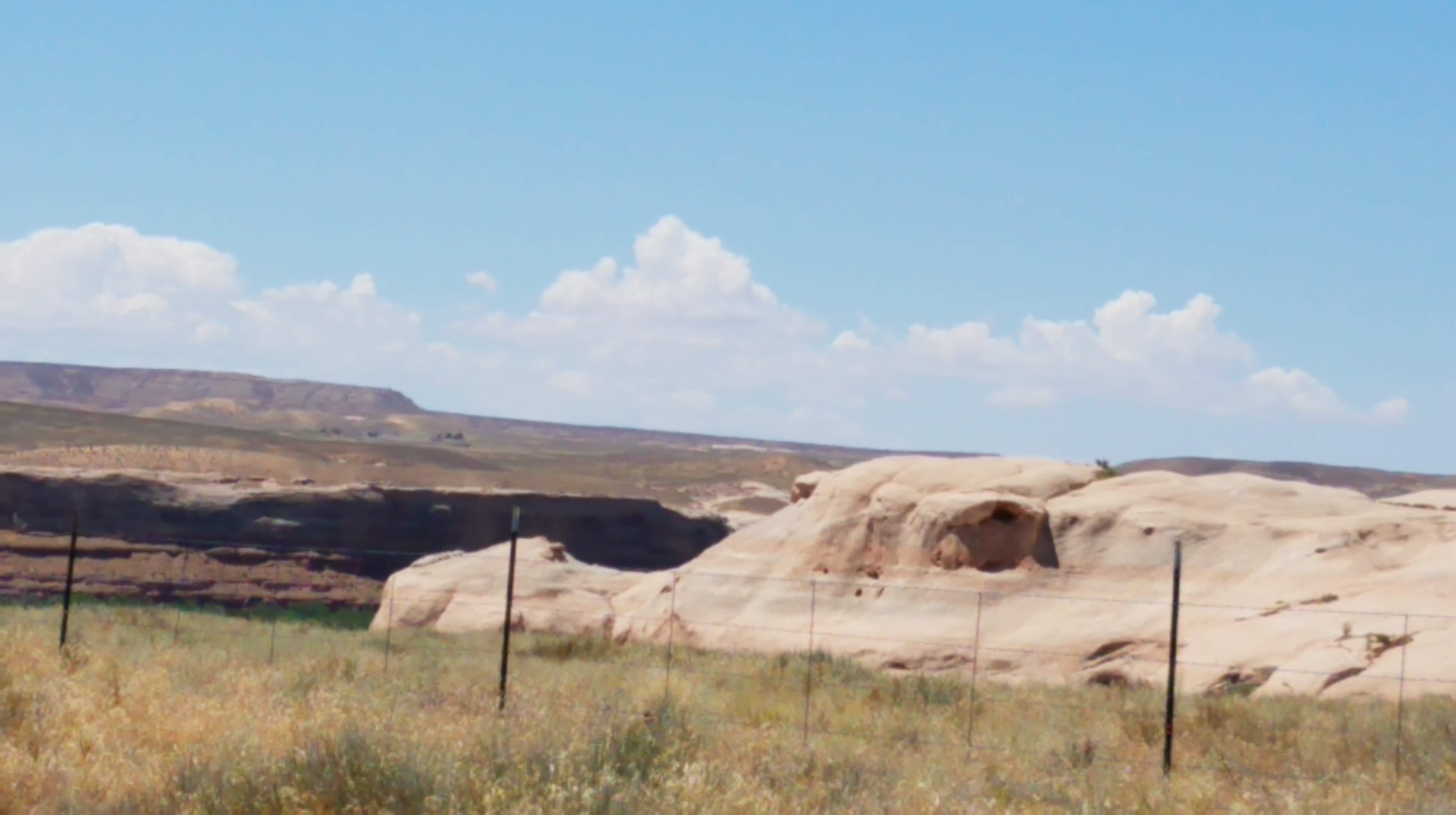
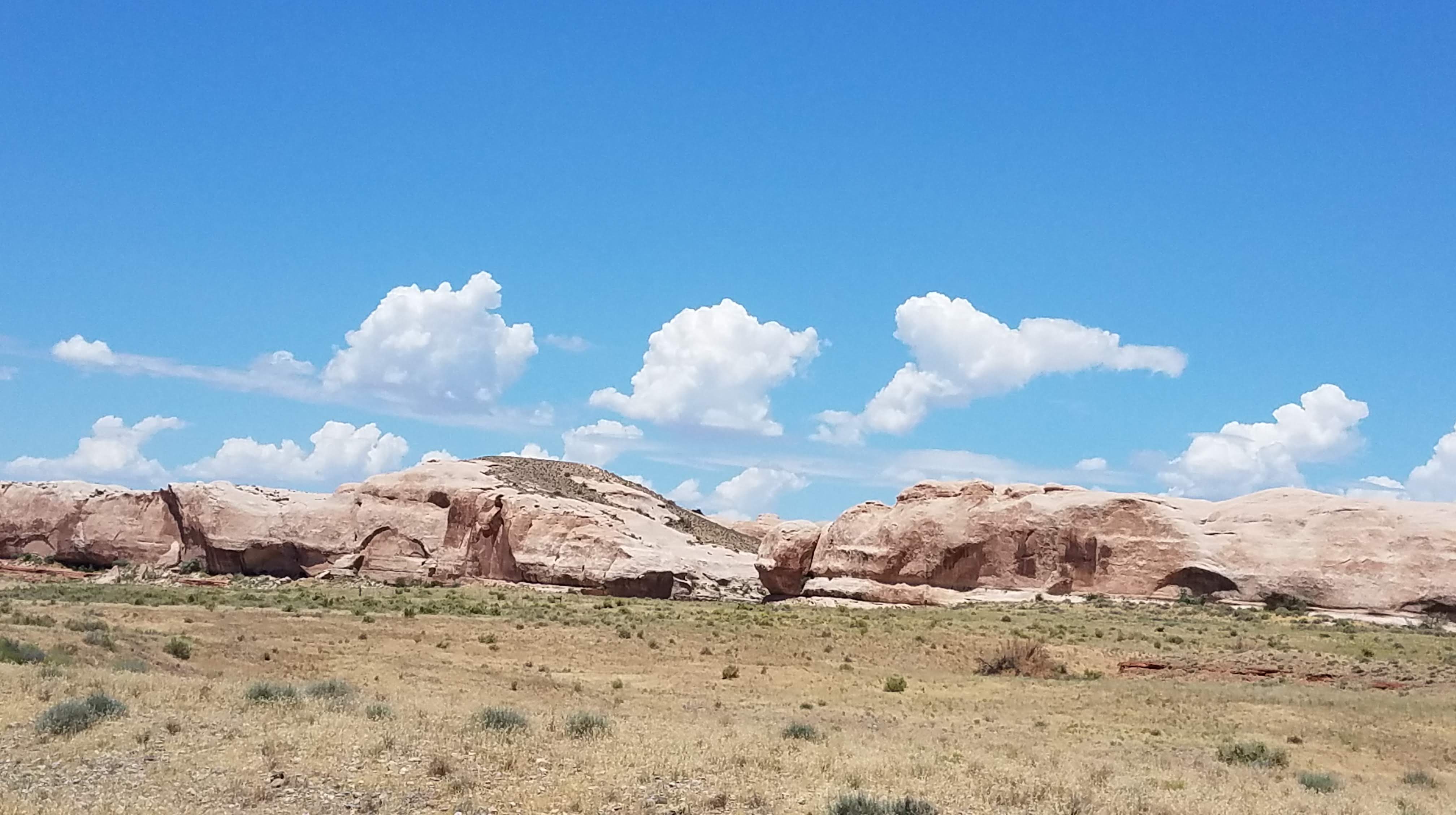
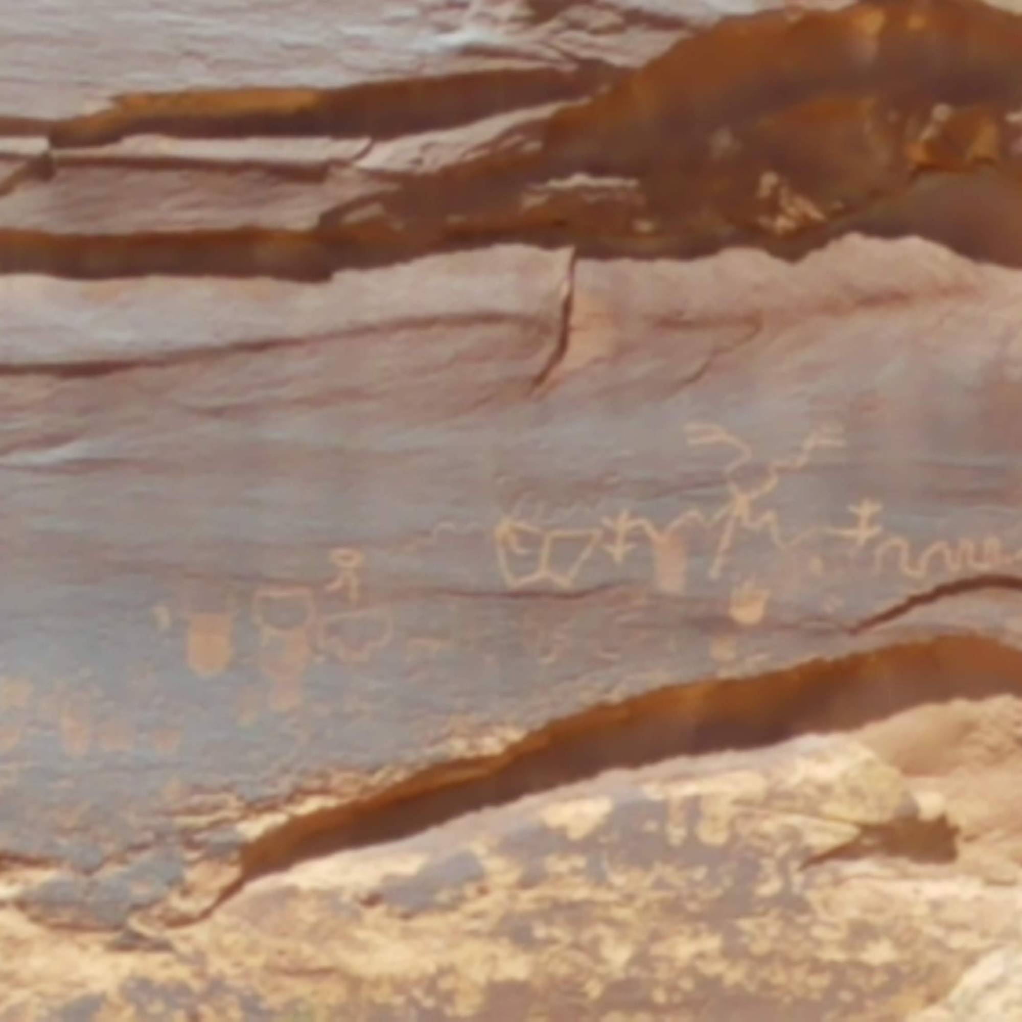
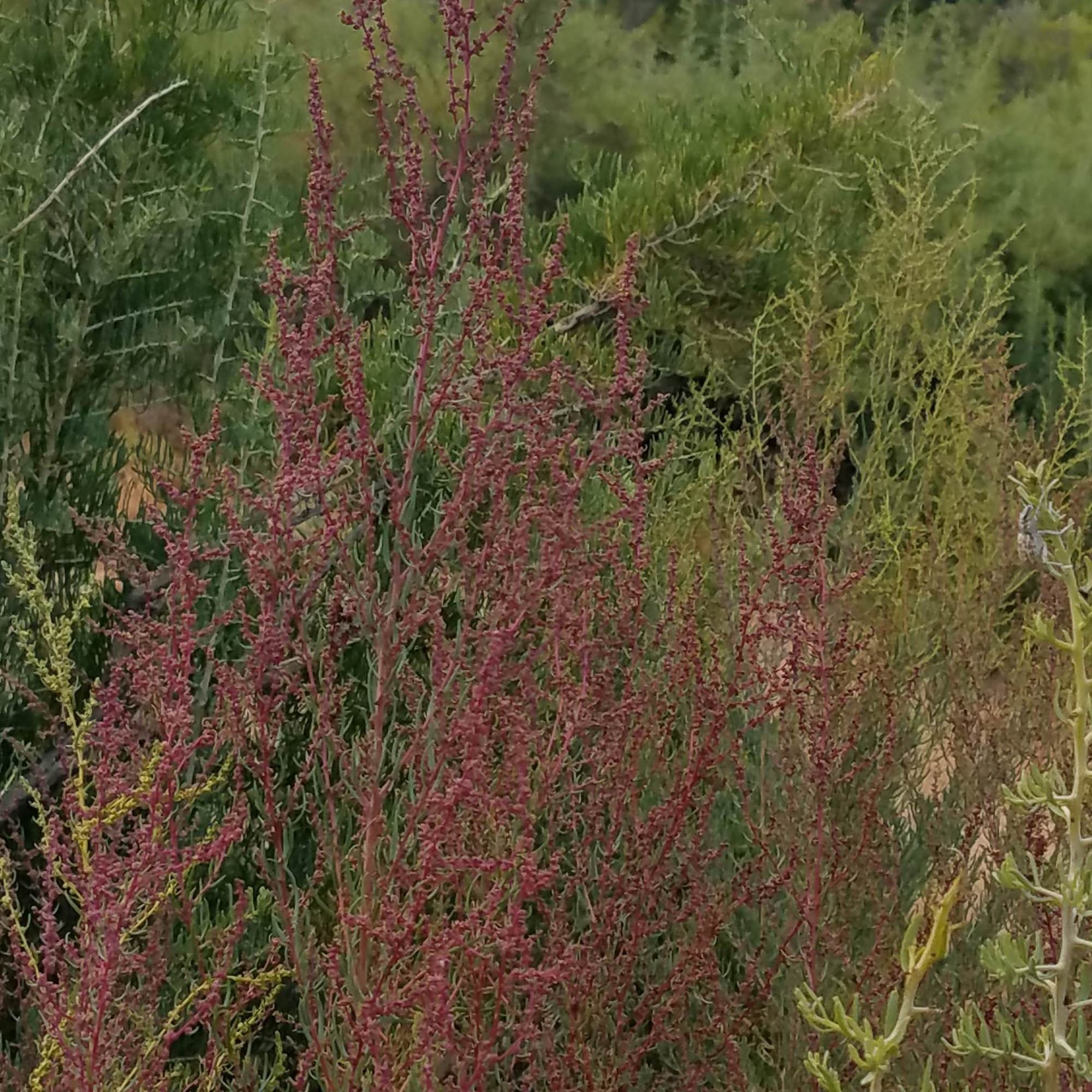
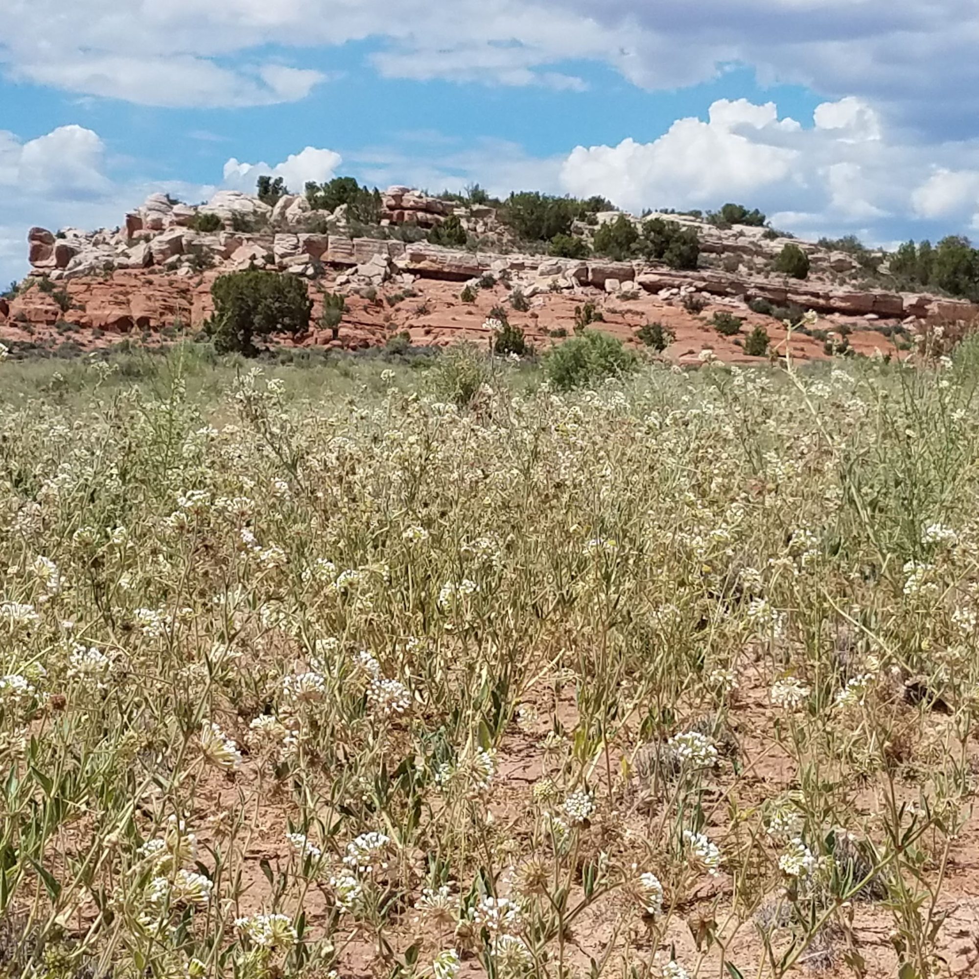
We continued on down a road in an area called Sand Island. Here, too, we find hundreds of petroglyphs proclaiming the abundance of the area. Then 163 takes us to Butler Wash and we follow the road up one side of “The Comb” and a short minute on 95 takes us down 235 on the west side of “The Comb,” called Comb Ridge through Comb Wash. Such a clear example of the process of techtonic uplift. Painted hills on this side clearly show birth through erosion, different minerals layers forming the colorful strips typical.

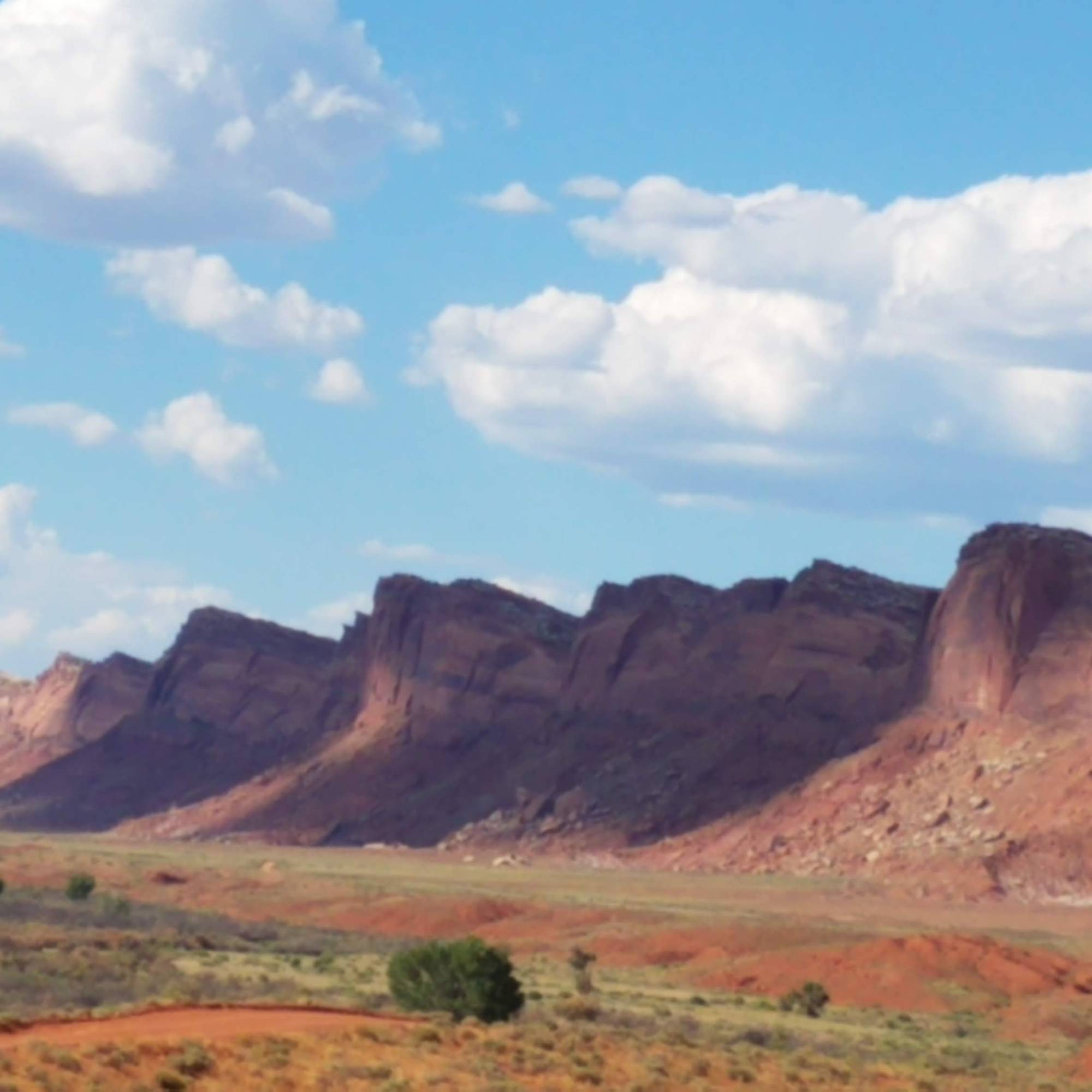
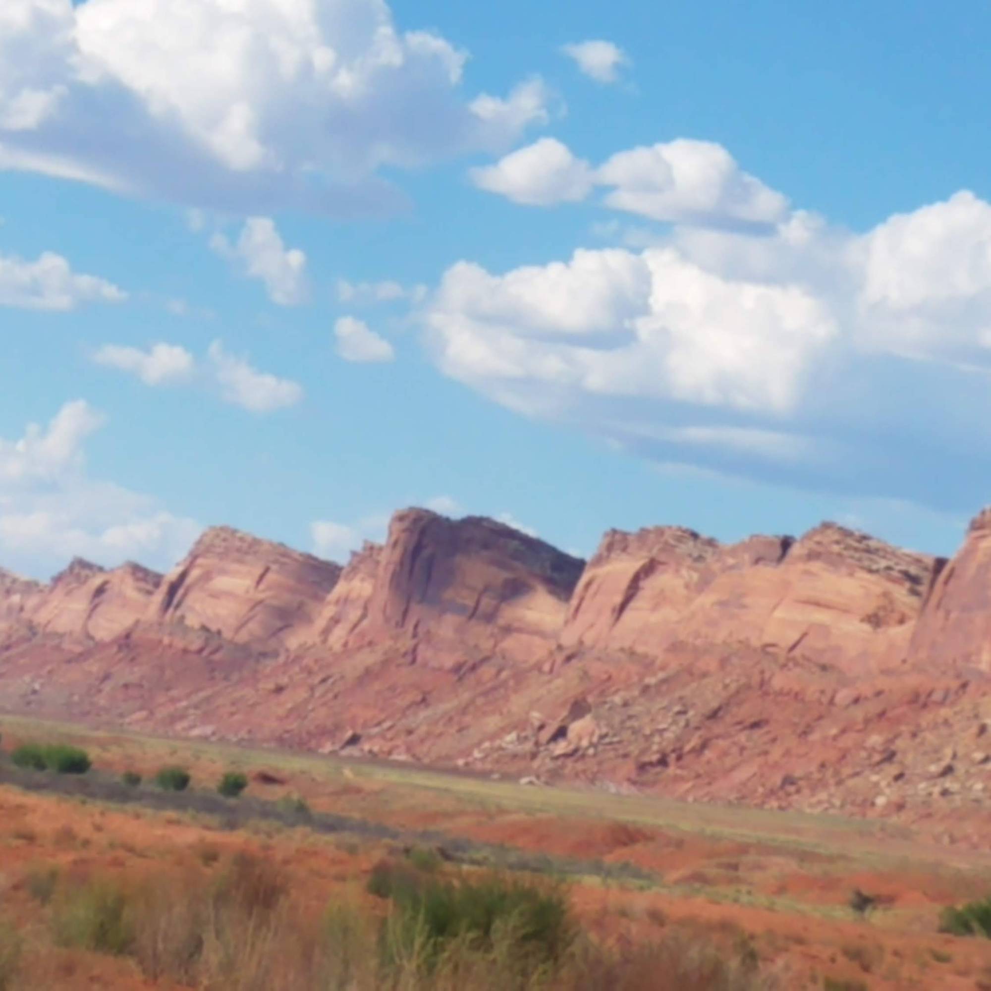
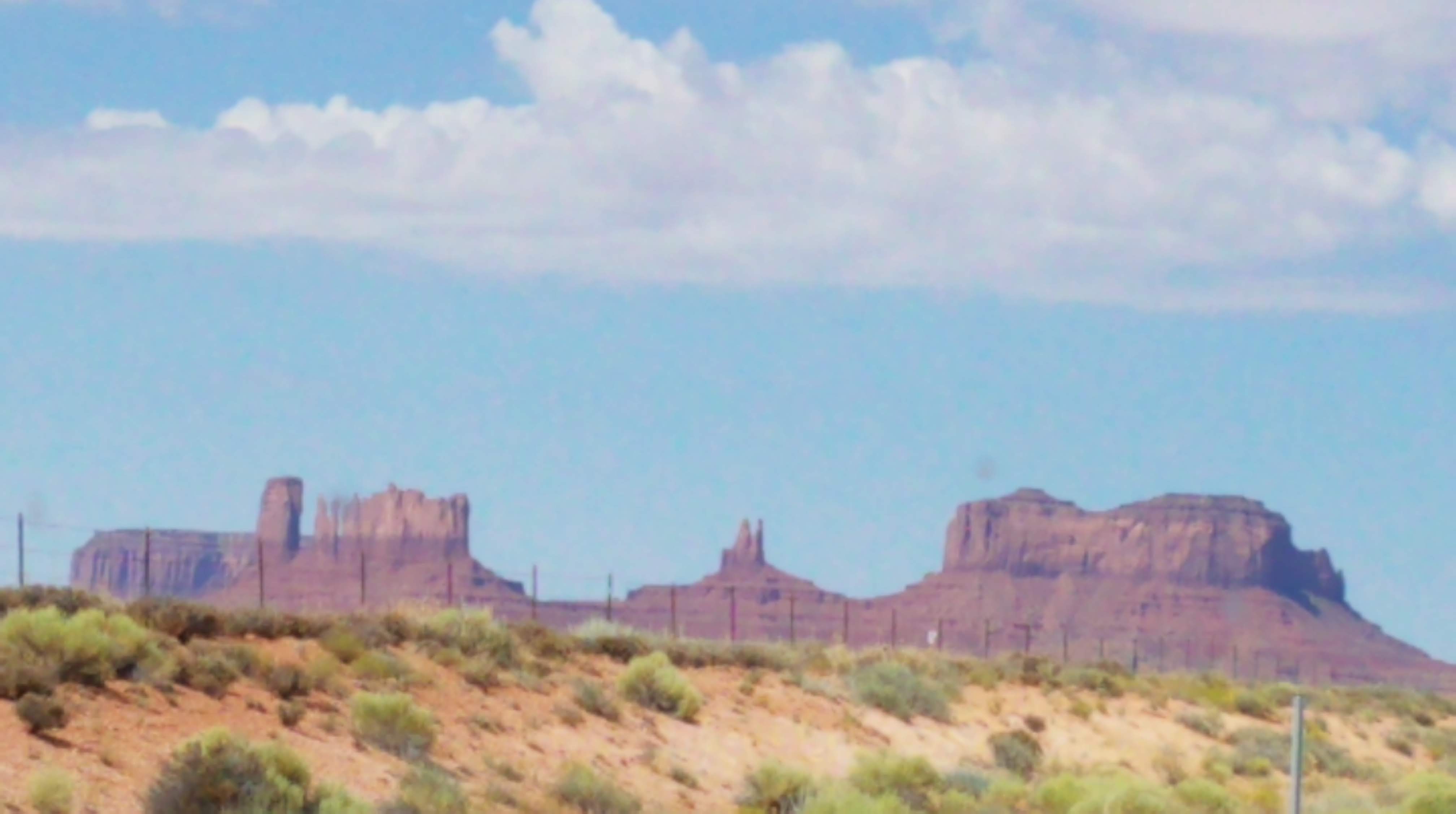
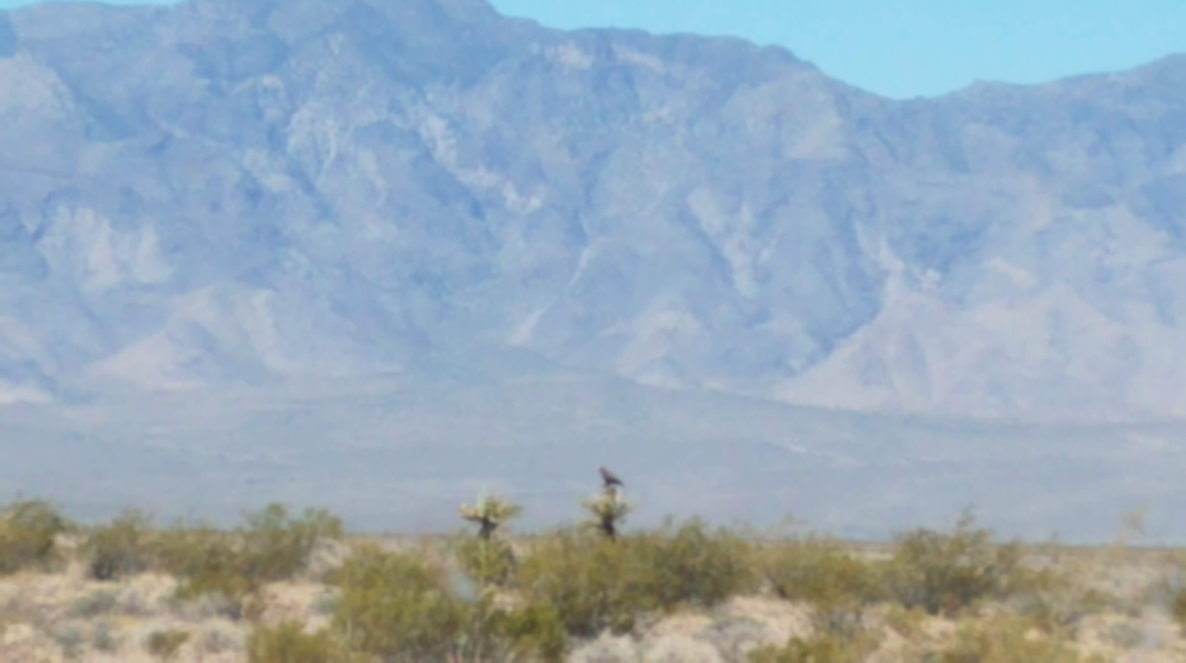
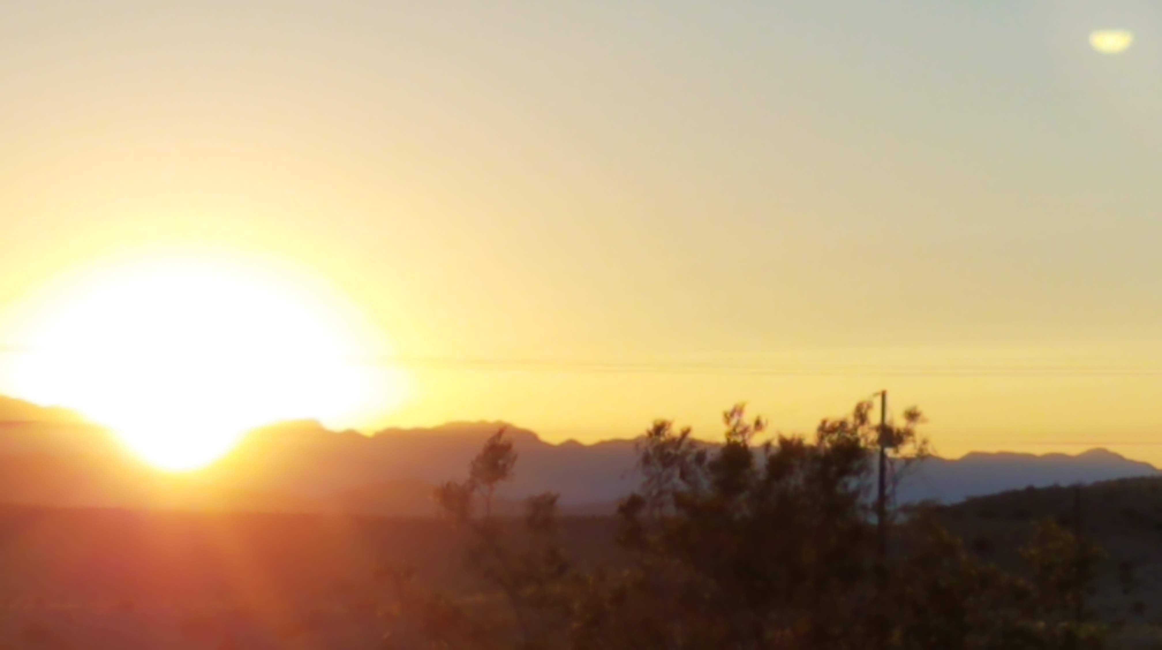
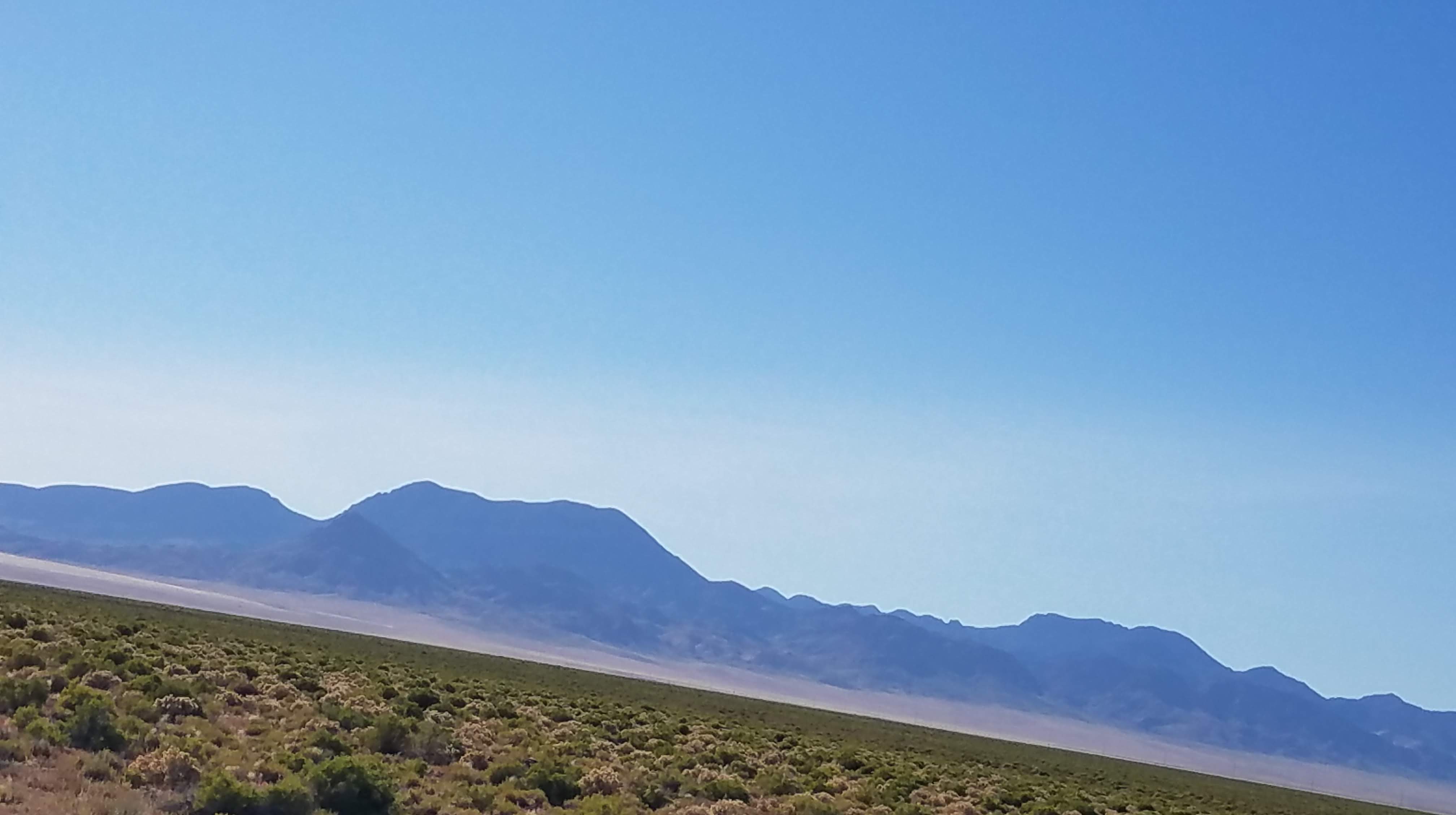
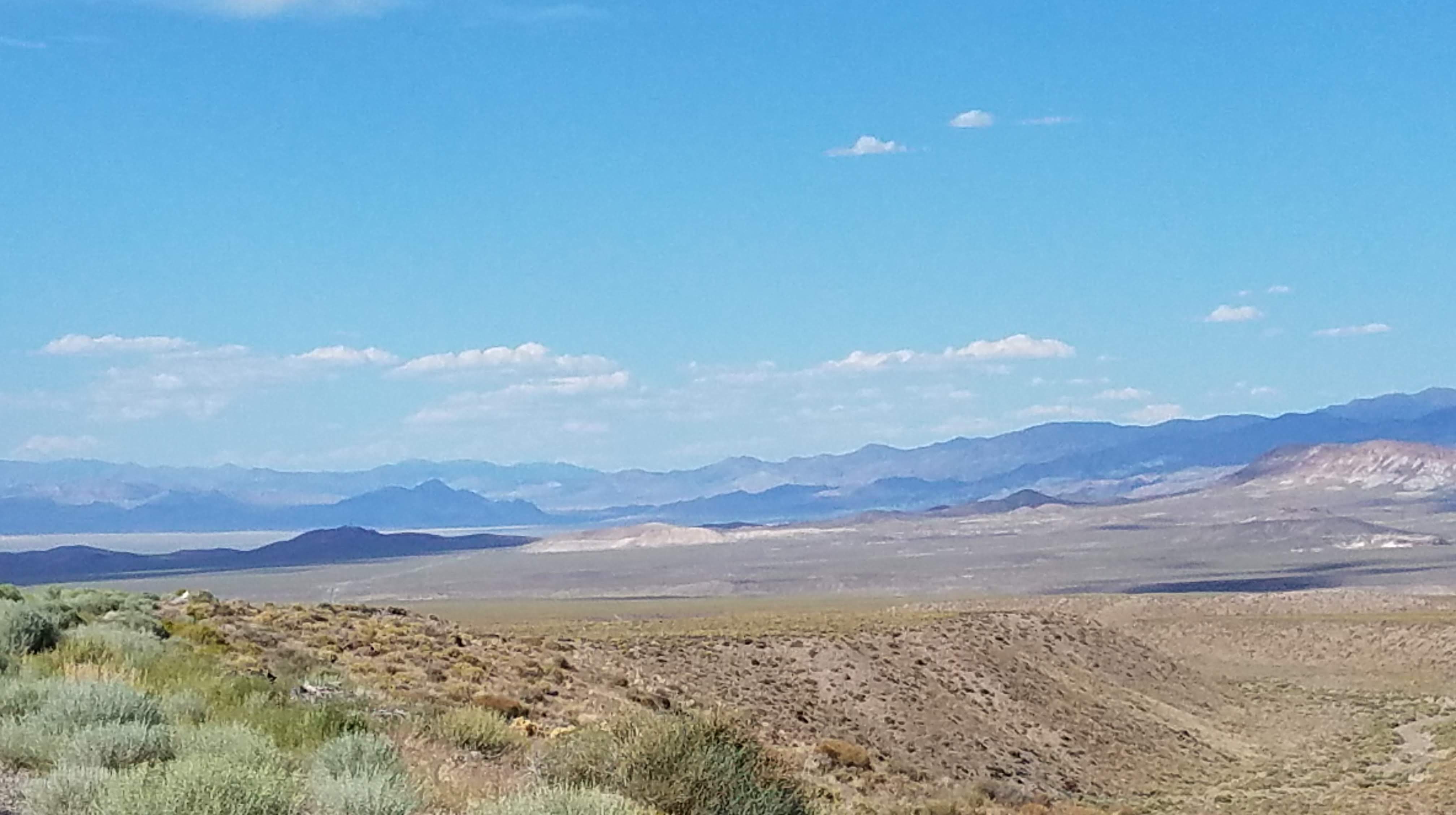
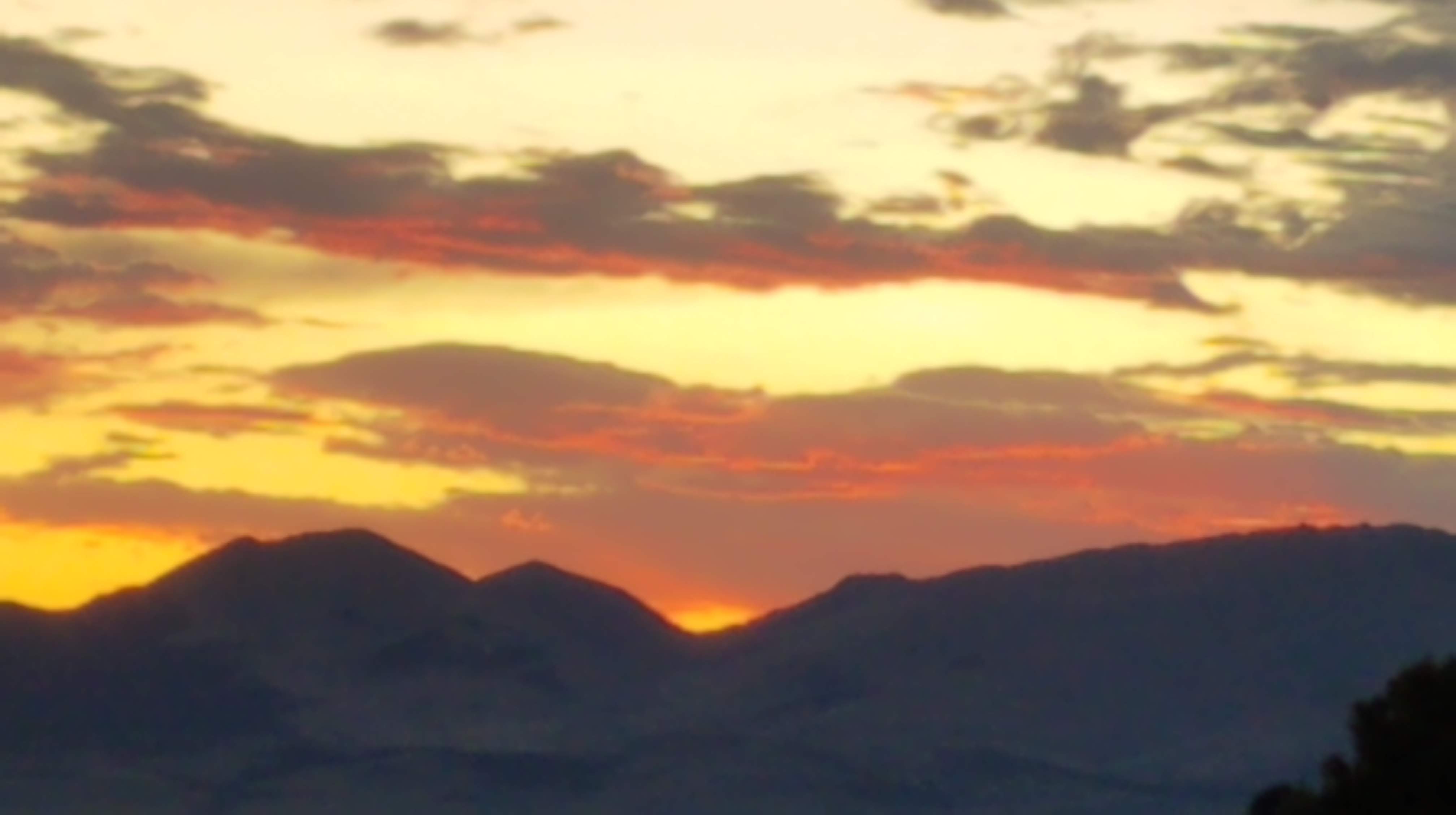
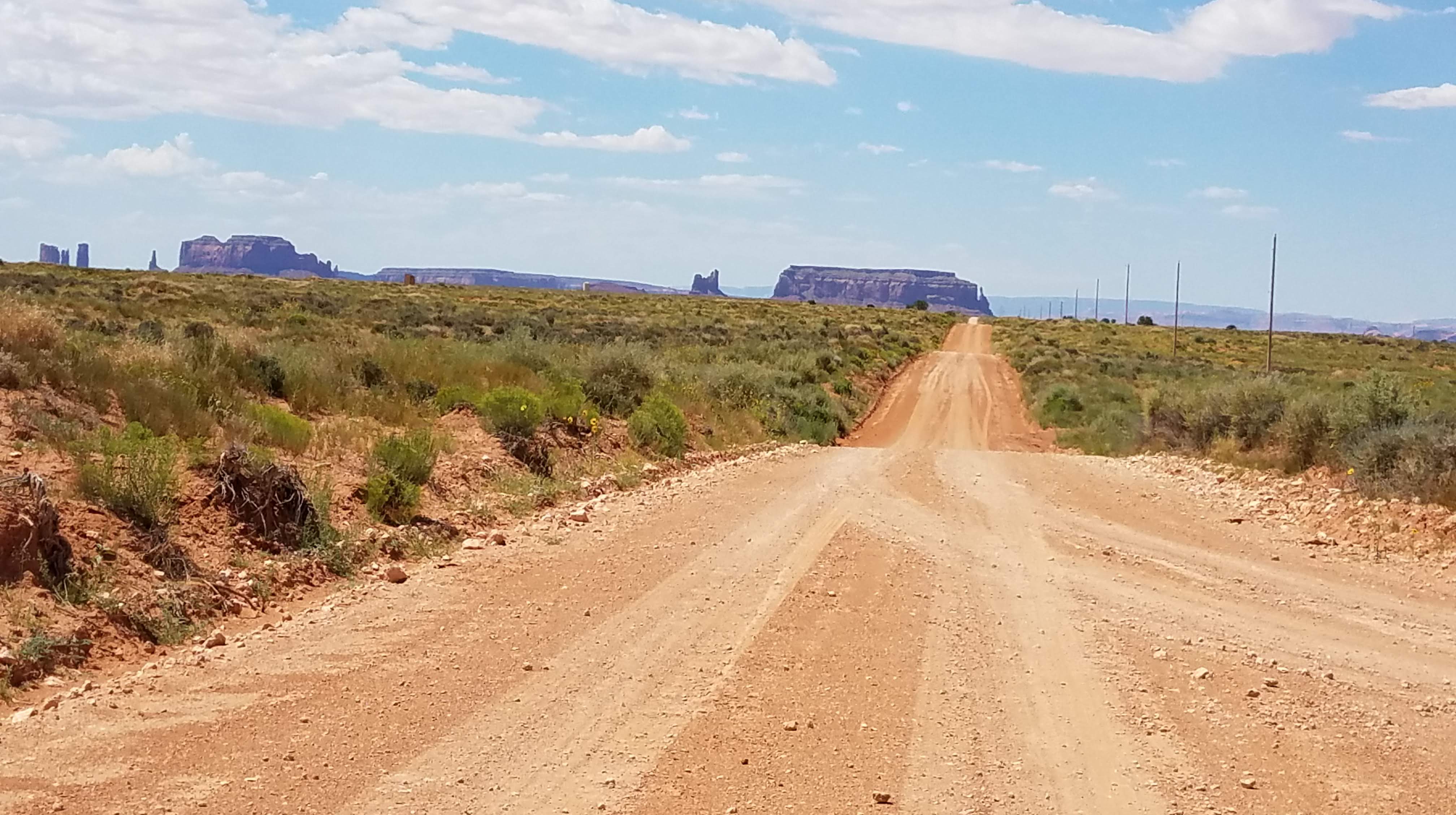
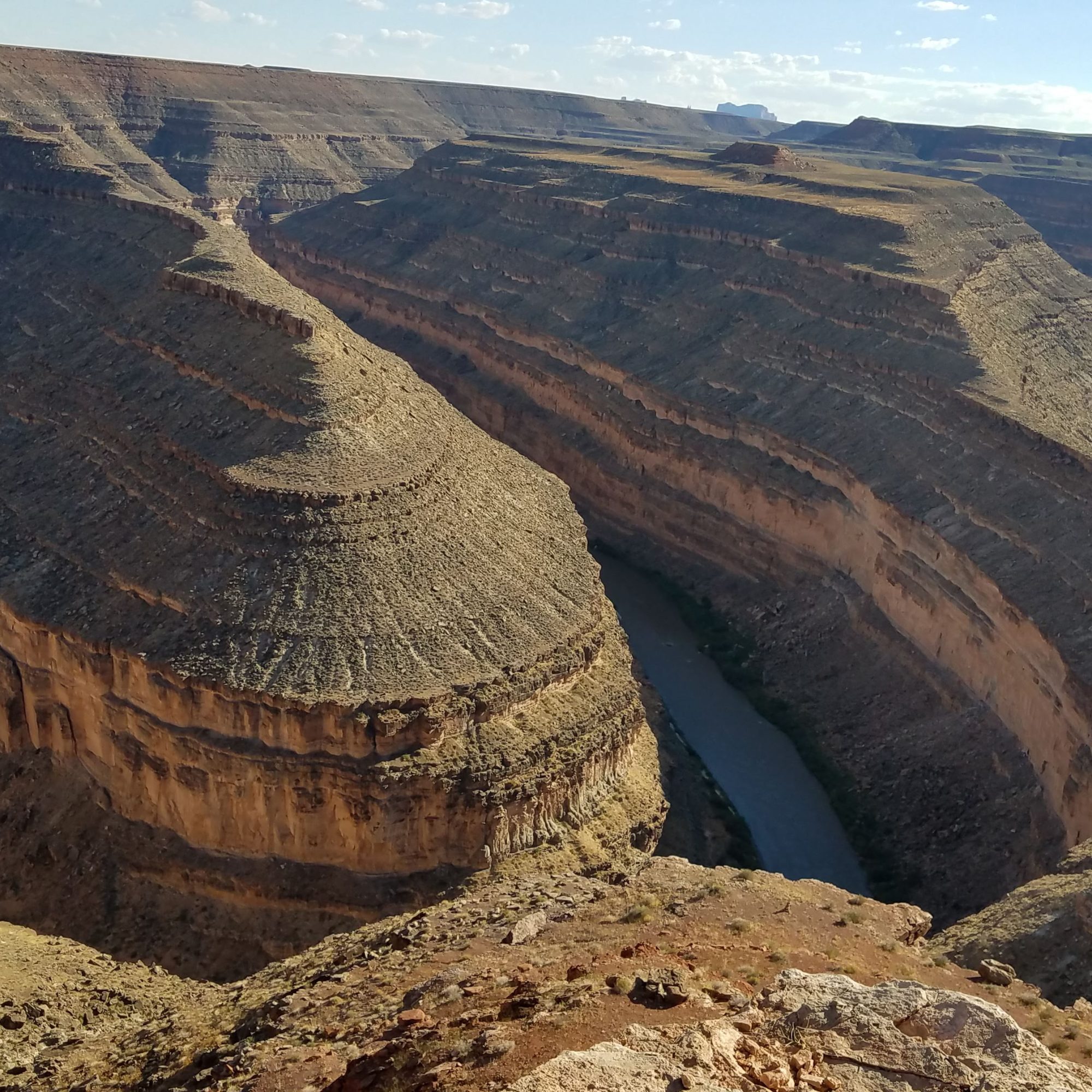
Take south 163 and we can see Monument Valley as we enter Valley of the Gods. At 261 we take 316 to Goosenecks. Wow!

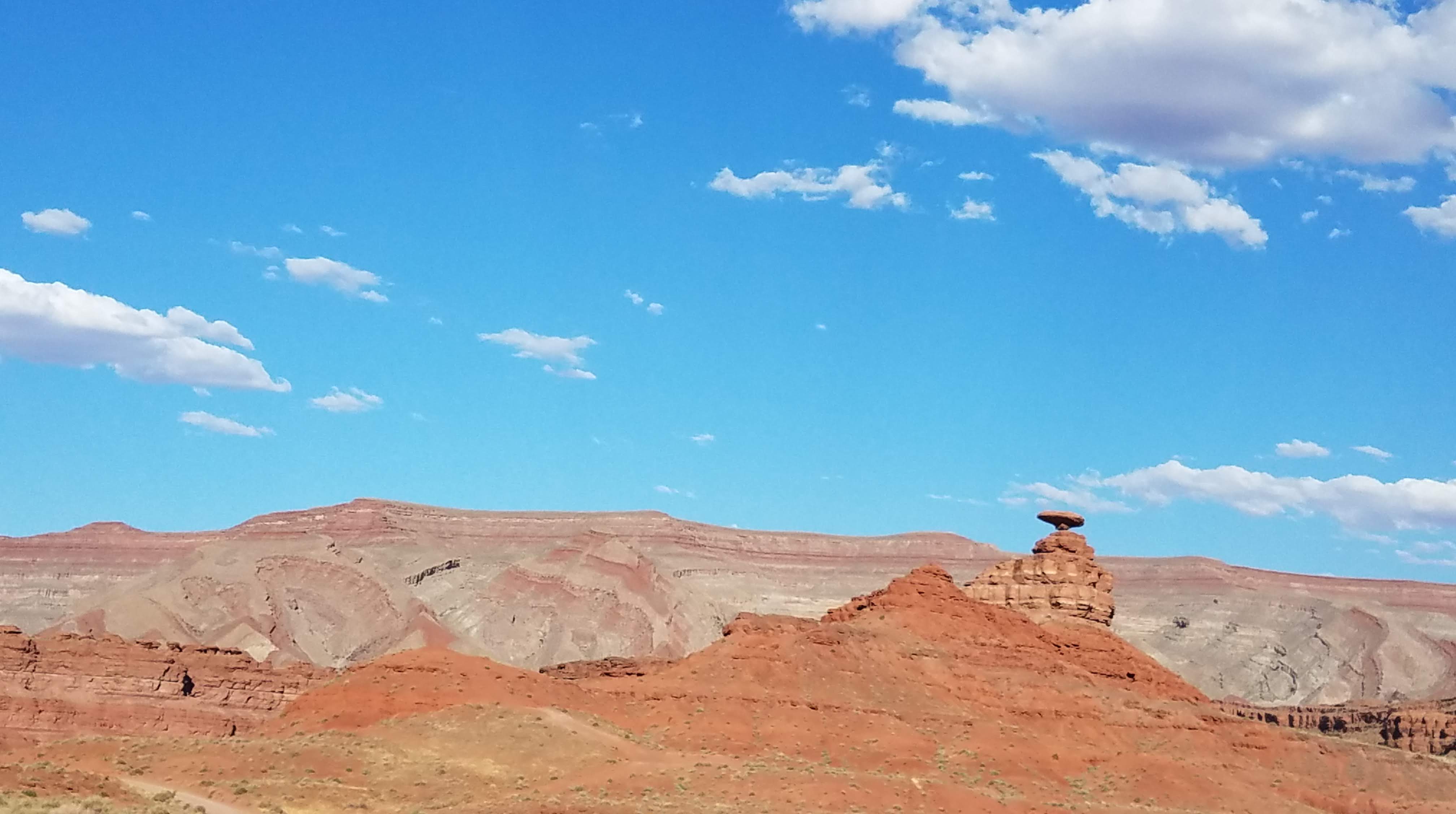
Out of the Goosenecks, we head into Mexican Hat. The formation does look like a mustashed man wearing a sombrero. Down into the town of Mexican Hat, we spend the night on the San Juan River.

July 16 – Off Track and Loving It

When we arrived at San Juan Inn last night, we were met by a braying burro behind a gate where the path leads to the river. Steve had an apple and shared it. There came a second critter, a miniature donkey so Steve shared with him, two. Apparently these guys are regulars.

Heading out on 163 south toward 419 Douglas Mesa Road, we take a right onto a loop around Monument Valley. We continued until because the sand got too deep and we could go no farther, so thought maybe we made the turn too soon (rarely are signs naming the roads so make the choice on the map). Going back the way we came, take 163 again and look for another side road. Looks good, but…We happened upon a cowboy who told us that we were way off! We spot more horses galloping across the top of the ridge in the distance.

Backtracked and found Train Rock Rd. Loop. Train Rock is immense like everything else, and does look like a train engine. Heading then into Oljito we are looking for a historical establishment, The Trading Post. The establishment was exactly that, and is not in operation, but the building is in remarkable shape for its age. Continuing on 163 through Black Mesa and Kayente, we take a left at 98 taking us to Kaibeto for ice. We are at 6,600′.

Head into Page and stop. Several blocks lost power for about 30 minutes – thunder and lightning.

July 17 – The Shifting Sands

Page, Arizona overlooks Lake Powell, and is growing. Several hotels are being built with river views joining 3 or 4 others.

We head out on 89 over Glen Canyon, passing Wahweap and are on the northern side of the Grand Canyon. Turning on 580 into Escalante Staircase we find a few petroglyphs and pass Nipple Ranch (and Nipple Creek, and Mary’s Nipple, whatever that is!). The road is good except for the sections of sand. We came to one spot that dipped and rose but there was too much sand to take a chance with the Forester – it’s good, but not in sand. Once again we backtrack. We go over Buckskin Wash and we continue 89 over Johnson Wash, then north on Johnson Canyon Road. Pass by Eagle Arch, United Order of Enoch, Wind Mill pictographs – or I should say, we thought we would but never saw them, missed the turn (did you see a road?) or maybe?

Into the town of Glendale, we think about an Alpine village. We go through Glendale, then stop in Orderville (they really are, orderly) for ice.

Continuing through Mt. Carmel we head south on Sand Dunes Road to the Coral Pink Sandunes State Park. Pink granite dunes against red and gold rock walls.

We cross into Arizona on Canyon Road then right on Cane Beds Road to 89. Down into Hurricane and stop for the night. Hope the lights stay on.

July 18 – Explosion on the Mesa

Left the town of Hurricane after spending the night and stopped to eat at the Stage Coach Grill. Elaborate western decor and excellent food. On to SR9 heading for St. George ranger station to check road conditions in the back country. Nobody home, so we are on our own. Head out of St. George on Old Hwy 91 (aka Sunset Blvd.) through Santa Clara, Ivans, Shivwitz-Paiute Reservation where we turn right on Lytle Ranch Road and the Lytle Ranch Preserve.

Lytle purchased the ranch long ago and years later he willed it to the State of Utah, University of Utah in order that it be protected for perpetuity. We decide to walk Beaver Wash. It’s hot, and Diane peels off after a bit to sit in the shade. Steve continues on and explores, finding a Scarlet Taniger, a fawn and doe in the grass, batch of toads, and many different lizards. On the way out we take a turn into Welcome Springs, pick up some nice rocks and watch hawks hunting. Back then on Old Hwy 91 we cross into Arizona (107 degrees!) at Beaver Dam. Go through Scenic, AZ on the Virgin River (now 109 degrees!). Left on Riverside Road to Bunkerville, established in 1877. Not much going on.

End our day in Moapa and get a tip about implosions planned for the evening of four smoke stacks at a coal burning plant nearby. After dinner we went to watch – only three of the stacks actually fell. The charges went off on the fourth, tallest stack, but it didn’t budge. Don’t know what happened next, but we went back to Moapa for the night.

July 19 – Artoria Gibbons

Leave Moapa on 168 (98 degrees) passing through an “area of critical concern,” perhaps desert tortoise? The area is very dry with lots of small mesquite and palm trees. North 93 aka Great Basin Highway to Kane Springs Road to Elgin. The Mojave Desert and Great Basin meet in the Kane Springs Valley, and is the most arid area in the country. Beautiful hawks, Joshua trees, Cholla (my nemesis) Barrel Cactus.

Into the canyon with Jack White and Robert Johnson serenading us, stop to watch several ravens soaring and playing in the wind, visit Elgin Schoolhouse, and head into Rainbow Canyon (317). We turn on Carp Road then Meadow Valley Road. A quarry we have visited before produced no material this time, but we did find a pot full of crawdads in the creek! We pass The Yellow Brick Road, then continue paralleling a railroad track.

We find our way to Caliente, a former train stop with large station. Decide to stop for a sandwich at Carl’s (open sign in window) but found the front door padlocked! So, we went across the tracks to Train Stop Cafe. Good food, and the owner’s great aunt is featured – for some reason – and has a real interesting history. Her name was Artoria Gibbons. She married a tattoo artist and he used her as his canvas in order to make a better living with Artoria performing as the tattooed lady in such as Barnum & Bailey, Ringling Bros. and many, many more. She lost her husband when she was about 60 and kept on working in “freak” shows until 1981. She died at age 91 in 1985.

Head west on 93 toward Area 51 and make our way to 375, aka The Extra Terrestrial Highway. Had to stop at the Little A’Le’Inn (close to Area 51) for refreshment, and met several characters there. The barkeep was especially fun, calls himself Benjamin Button because he is “reverse aging” and showed up photos to proof it. We have to admit, seems like it!

Continue 375 to west 6 and stop at Warm Springs. This is an out of business hot springs “resort” with large pool, pool “house” and such. Water was too hot for us this day to jump in, but we did explore an old homestead nearby. The house and the barn were built into the hill. Steve found a really beautiful horned lizard and Diane found fire ants – Yikes! Their sting hurts! Continue with Tonopah in our sights going through Taiyobi Forest at 6500′ and so many wild horses. Into Tonopah, we see a spot we stayed once, the world famous Clown Motel (really) but declined the urge to stay there. Moved on, had dinner and collapsed. Great day.

July 21 – Gabbs and the Milky Way

Out of Tonopah on 95/6 to south 265, Silver Peak Range to our right and the White Mountain Range in California to our left as we move through Clayton Valley and into Silver Peak Town. Left on Spring Road, a road covered in rock salt which over time, with rain, melt, and solidify, the road is extremely flat and smooth.

Heading to Alkali Springs we spot three black burros, two of which are trying to catch shade cast by a Joshua tree! We stop at Alkali Springs hoping to take a dip. We had to settle for just our feet dipping as the pools themselves are quite slippery with algae and, being of the end of the boomers, we can’t afford broken anything!

Go through Goldfield, an old mining town. Very funky little town. Take 266 to Lida then left on 774 toward Gold Point, “The Town That Wouldn’t Die.” After a look, we are on Wylie Road, and work our way back to 266. Hwy 266, I believe, is one that Molly Jessup would love – it is covered with glitter everywhere! Well, ok, it’s mica but still – glitterama!

At Lida Summit we are 7400′ in elevation. Pass through Palmeto (ghost town) at the California boarder and drive up Fish Lake Valley to Oasis Ranch.

Continuing we cross back into Nevada on NV264 and through the small town of Dyer. The area has a beautiful desert basin landscape. Hyw 6 to 380 going through the town of Mina and take the “Grand Army of the Republic Hwy” to Looning.

After Looning we come to Gabbs in the Stewart Valley. Stewart, Ione, and Monte Chriso Valleys all converge a bit further on. We stop in Gabbs for gas and then the Little Cafe/Bar for a bit. Quirky and delightful establishment, as well as the gas station – we were lucky the guy was there or would have had to go to his house!

We head up into the mountain to Berlin and the Icthiosauras Park for the night – yeah! Camping! We get set up and sit watching the sunset and then the night sky. Clear sky, stars so bright, meteors all around, Milky Way, no bugs, no wind. Just about perfect. Oh, and silent!

July 22 – Repeat

Such a beautiful spot we have. Great sleep, deer running through the camp early. We decide to stay one more night here. We are on top of the mountain with amazing views, and there are maybe two other campers a good distance from us, so we hear nothing but the birds and light breeze. Just a very relaxed day in a place of solitude.

Steve goes for a bit of a roam. It’s very hot and with the altitude, seems hotter. We’ve had a delicious breakfast of eggs, bacon, potatoe scramble, and coffee. After breakfast, we relax, we nap, we relax. After a bit we do head down to Gabbs to get more ice and eggs. We take a little toodle around the town, 1/2 is good, 1/2 is ramshackle but all in all the town and it’s people feel good.

There is a storm in the distance, over the mountains. We see a tornado or a funnel cloud and watch it for some time before it dissipates. Head back to camp about 6pm, thinking to leave the fly off of the tent but decide no, what if it rains? Spend a lovely evening again watching the sunset, the stars, the Milky Way, and the many satellites orbiting our planet.

July 23 – The Lincoln and Victor

Up early, great sleep again! Diane packs up the tent, etc. while Steve cooks a delishous cheddar omlet. We pack up and stop on the way down the mountain, at the Ictheosaur exhibit. Multiple Ictheosaurs were found together right where they are exhibited, still in the rock. They look like very mean and scary pilot whales. Archeologists believe they all died of red tide infected feed.

On to Ione via the back route. Ione is an almost-ghost-town in the Reese River Valley (beautiful). We enter the Yomba Shoshone Reservation and head north passing Derringer’s Blacksmith Site.

Next stop, Hess Ranch. Long abandoned but in surprisingly good “ruin” condition, this was quite an operation. Great examples of building with local materials. Includes a “manor house” and a barn owl nest!

Decide to stay in Austin at the Lincoln Motel. This is a funky little place that we have stayed at multiple times, and it was so nice to be remembered by the owner. She started as a housekeeper 7 years ago, and two years ago was able to purchase when the owner wanted to retire. Very sweet lady and nice husband.

We head over to the International for dinner. Victor, a Serbian immigrant has owned the International for many, many years. The bar was brought up from Virginia City in the 1800’s, and Victor is full of stories. Steve heads over later to visit more after we finish the good dinner his wife prepared us. Torrental rain. Car got a good wash inside & out – we forgot the “sun” roof!

July 24 – Happy 90th, Mom!

Today is Mom’s 90th birthday, and she is healthy, strong, and still lots of fun to be with! God has blessed her and all who know her! Thank you for being the best, Mom. (PS – we found this wine shop for folks in your generation!)

Said farewell to the folks at Lincoln Motel, gas up and go. At Mt. Arie we are at 6600′. Steve spots lots of Mormon Crickets on the road and must stop to check them out (of course!).

Continue on Hwy 50, “The Lonliest Highway” and see one of the Pony Express routes – you can actually see trails. Turn off at Fairview Peaks Earthquake Faults in the Golden Mountains, aka Dromedary Hump, 15 miles out and back. Interesting to see the fault so clearly and up close. The earthquake causing this was a 7.3 on the Richter in 1954. Also interesting is the fact that camels were used by military and non as early as 1857 in the area, thus Dromedary Hump!

Up Drumm Peak Summit (4600′) and across Din’e Valley to Sand Mountain. Impressive.

Drive 50 through Fallon. Fallon has grown and has everything a community could need. Fallon is Diane’s hometown, having been born in the Navy hospital in neighboring Hawthorne, NV.

There is a beautiful wetland preserve, Stillwater just outside Fallon. We have visited in the past, and once again saw many types of birds – Avocet, White Faced Ibis just to name a couple.

Fernley for the night.