Posts

July 25 – Smoke Creek

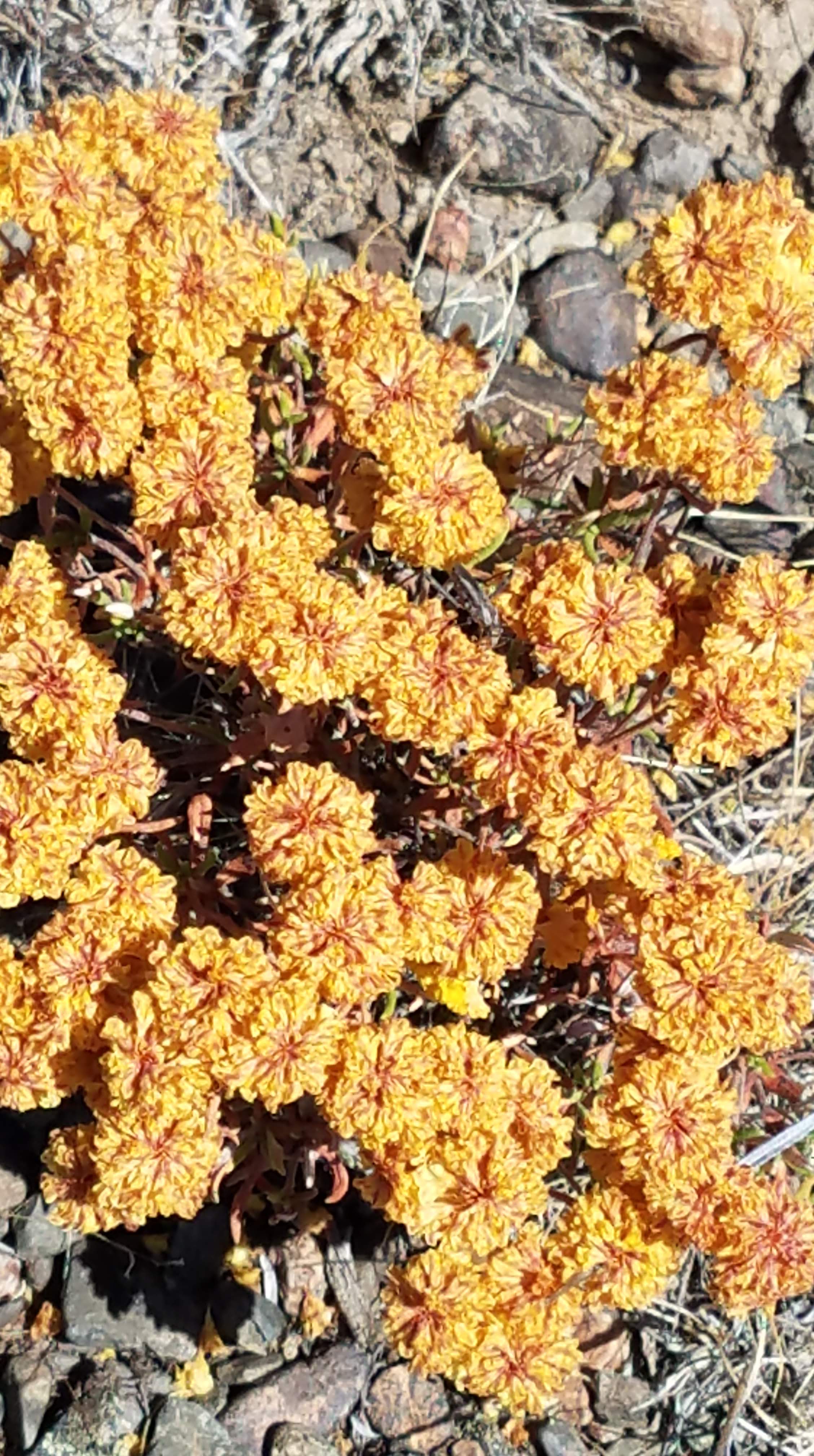
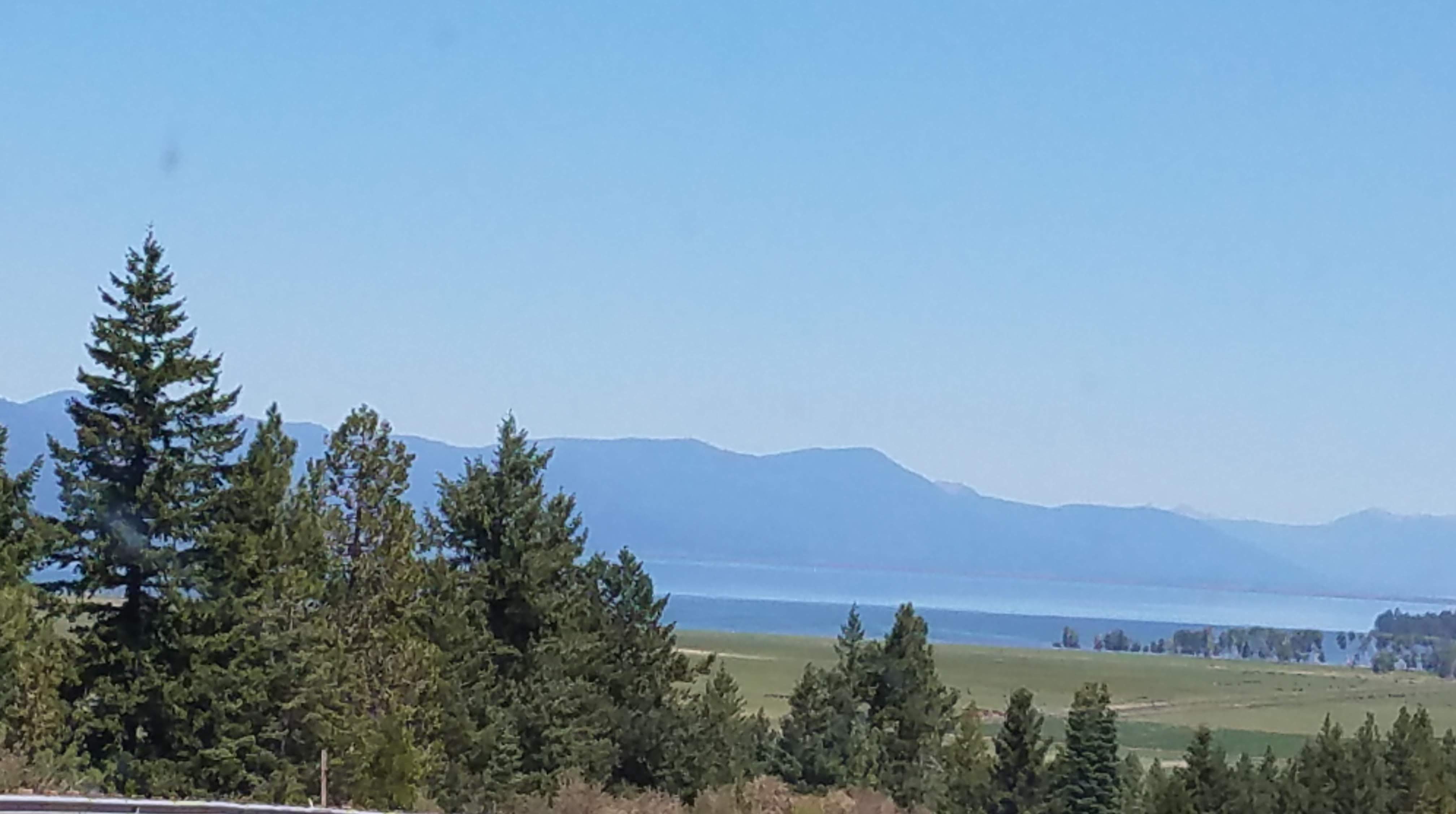
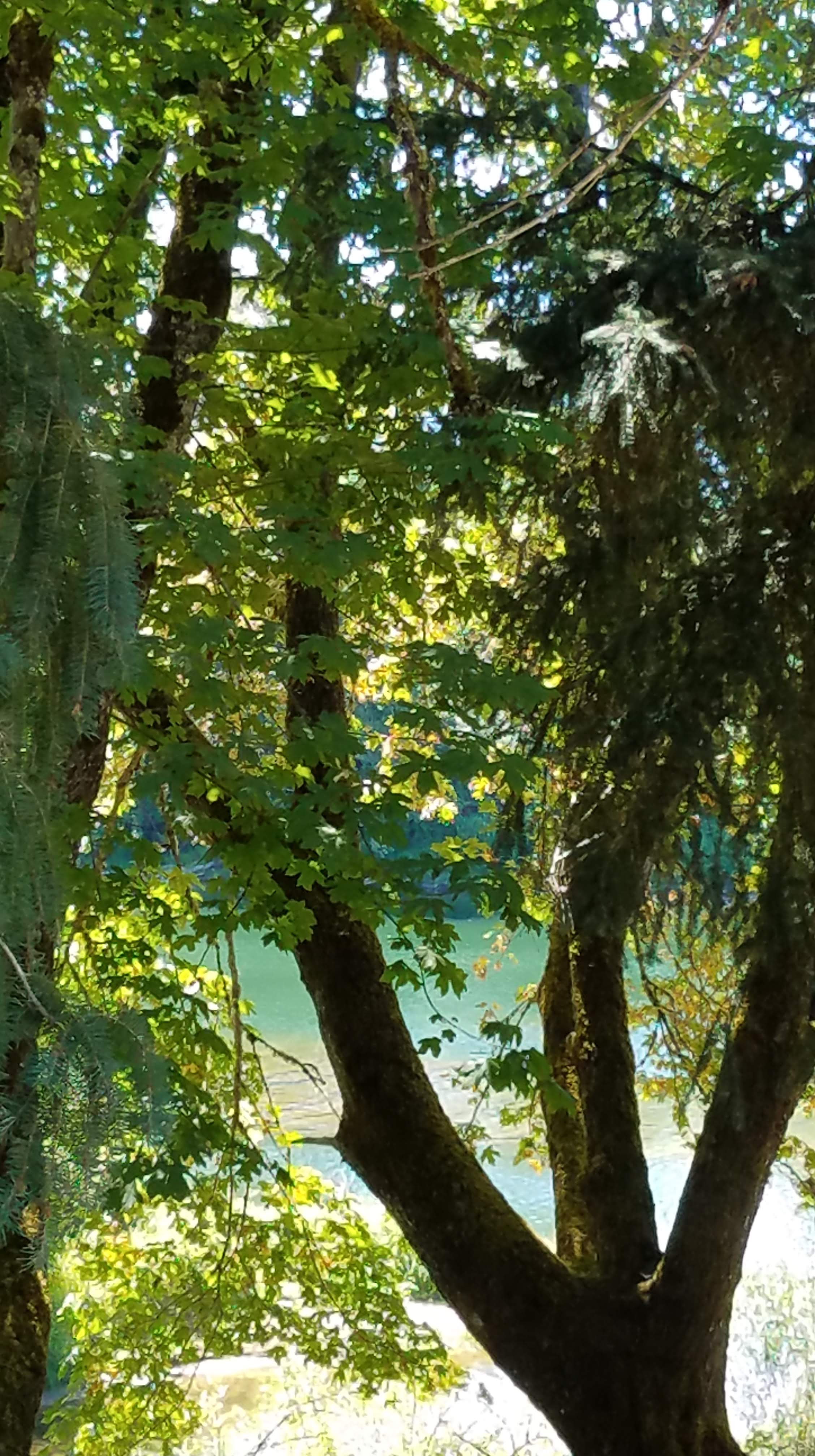
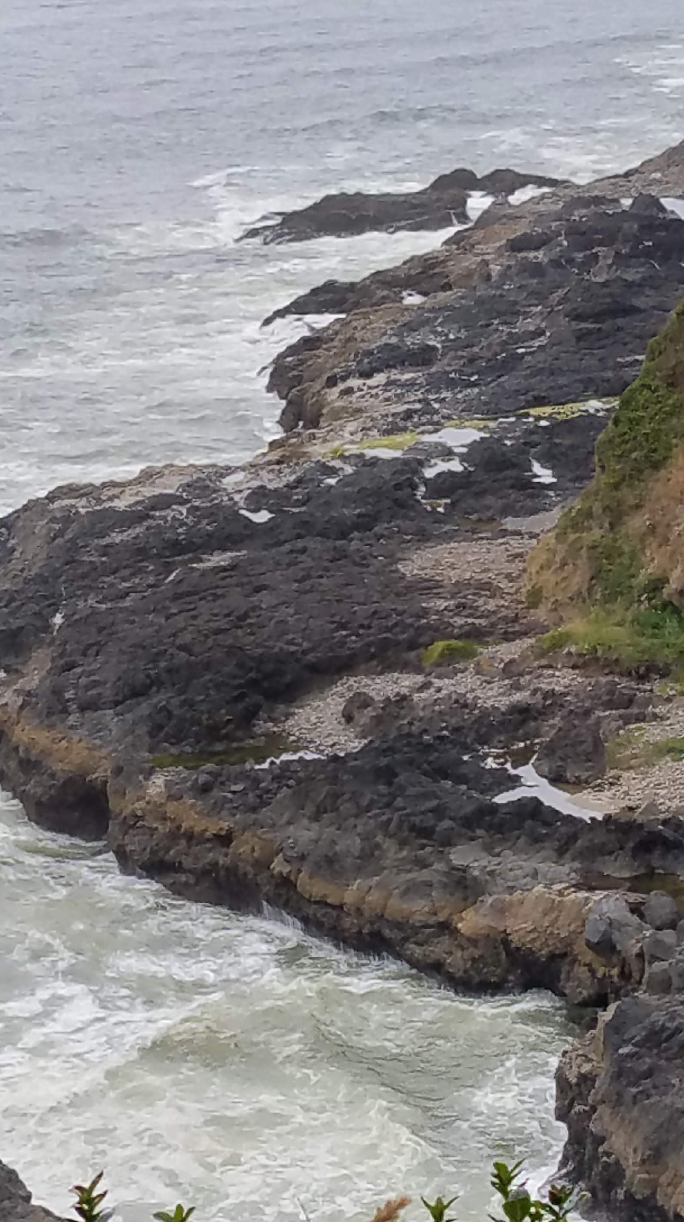
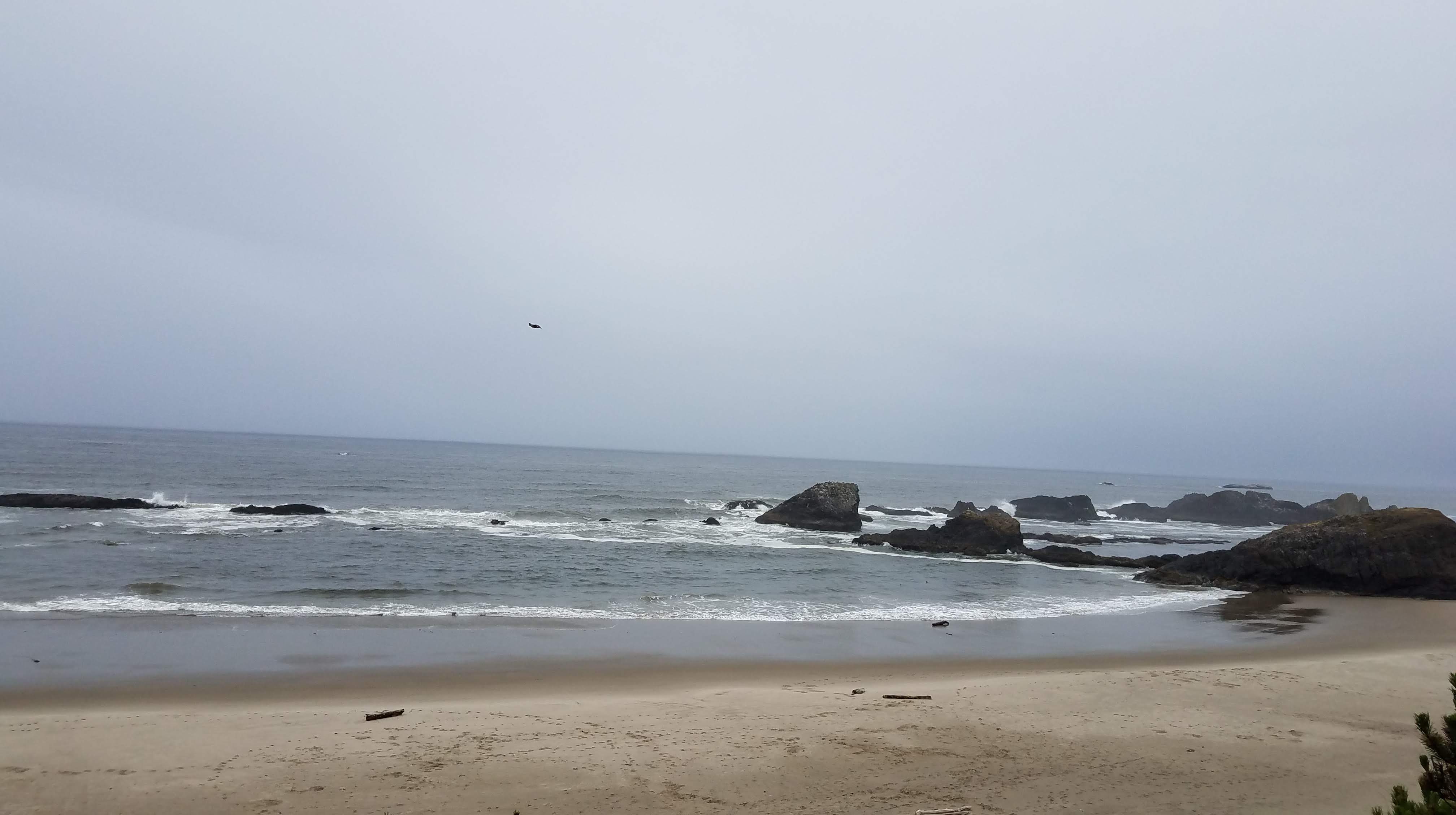
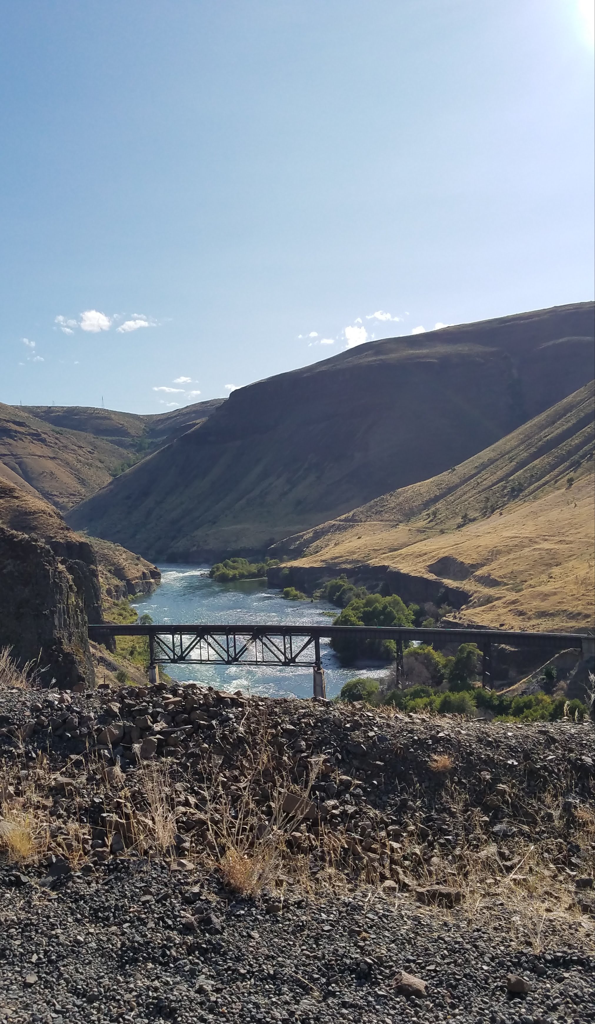
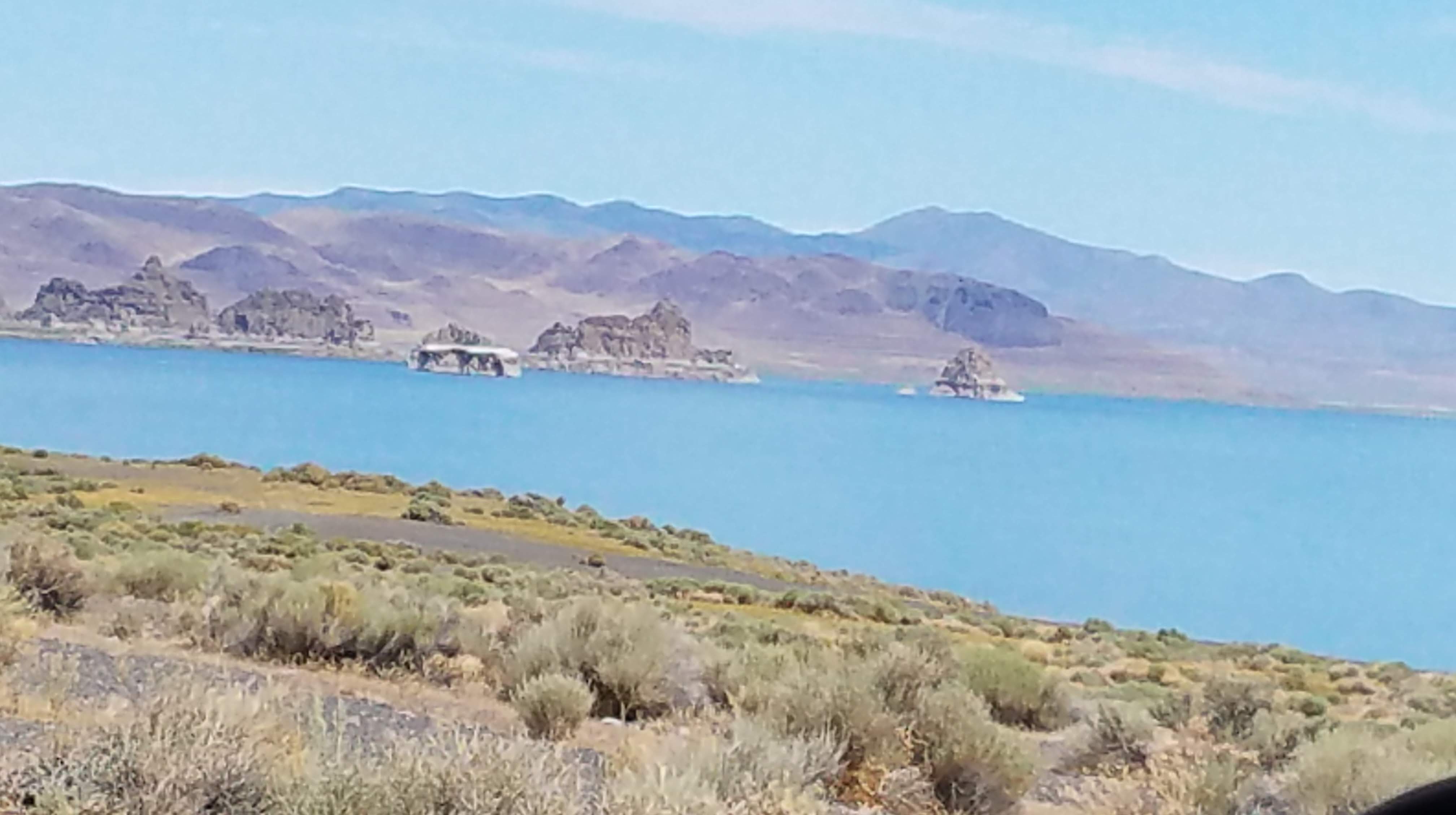
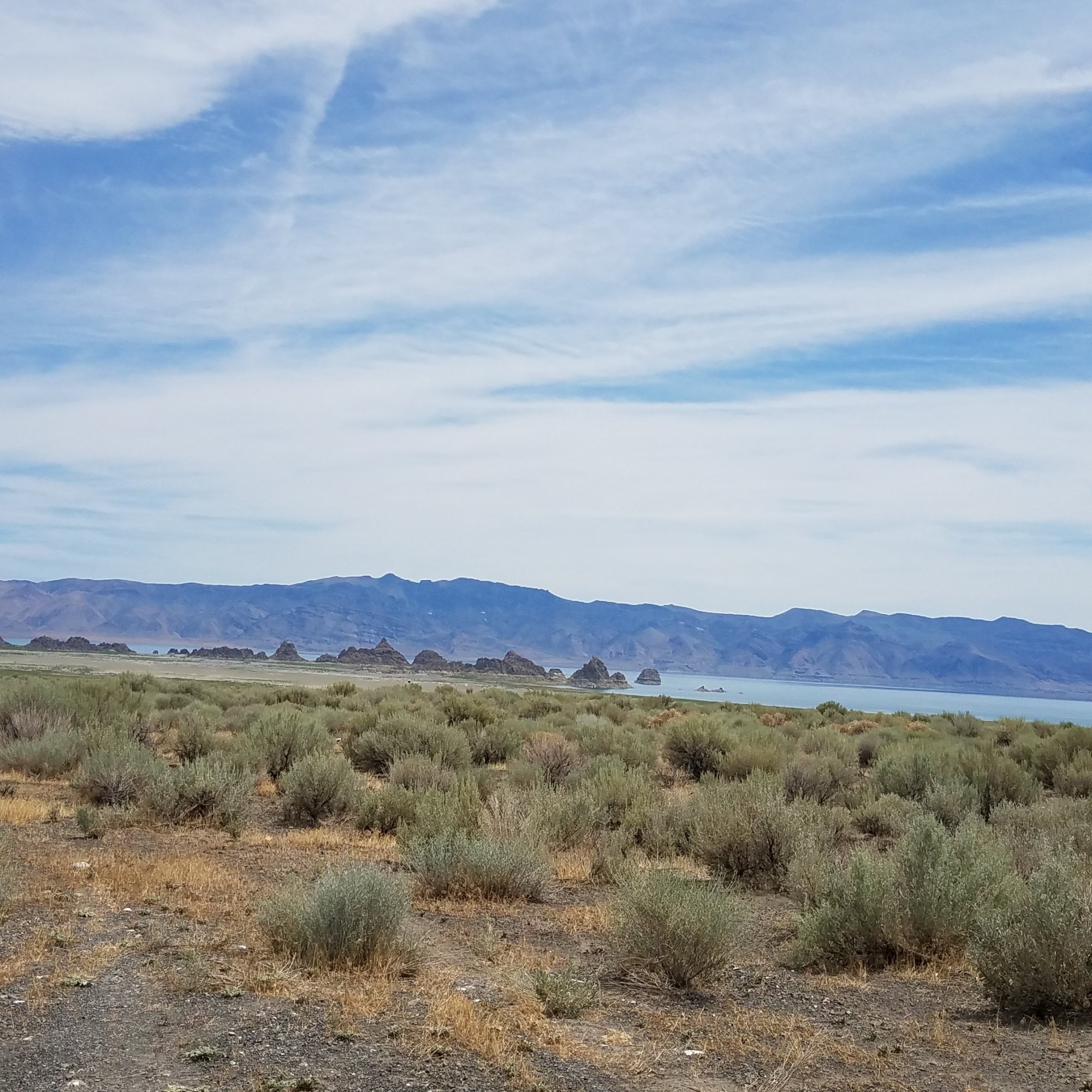
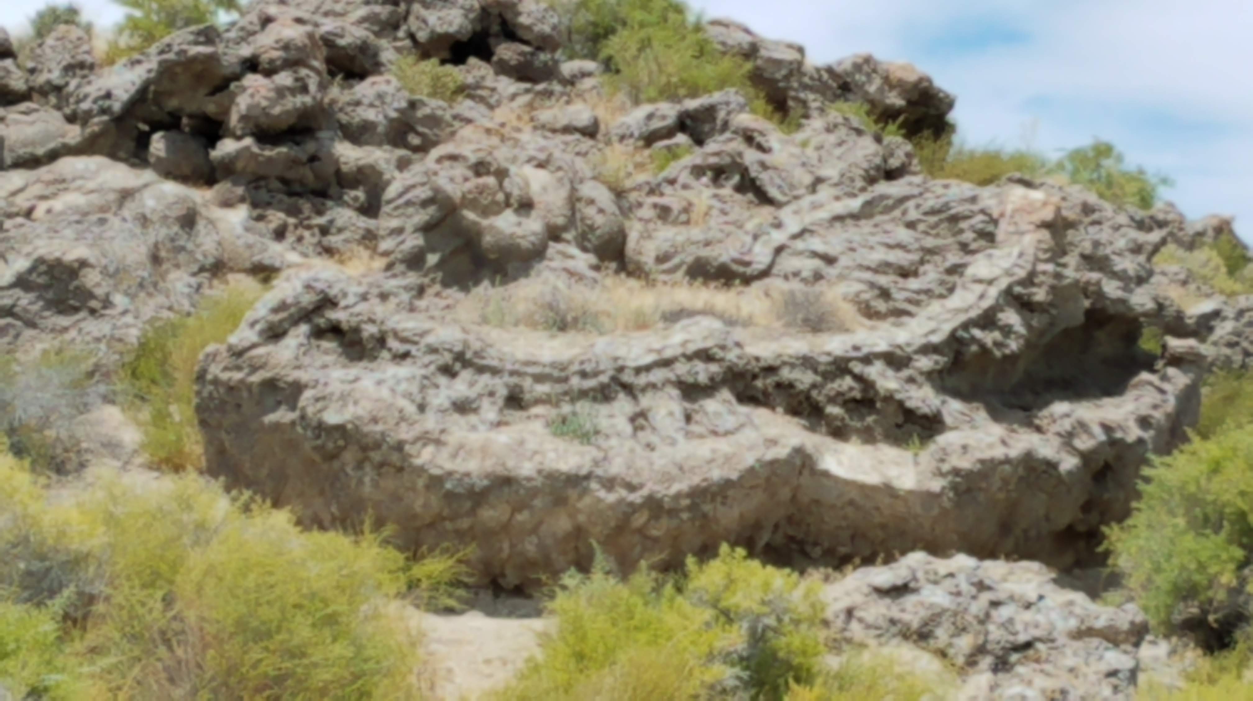
Head out of Fernley to the Pyramid Lake Reservation to see about a camping permit. We cross over the Truckee River to Nixon, a picturesque spot that the river runs through. Stop and talk to a native officer, then drive up the west side of the lake. We did pick up a great piece of tufa – not for carving, just for looking. (UPS – they’re everywhere!)

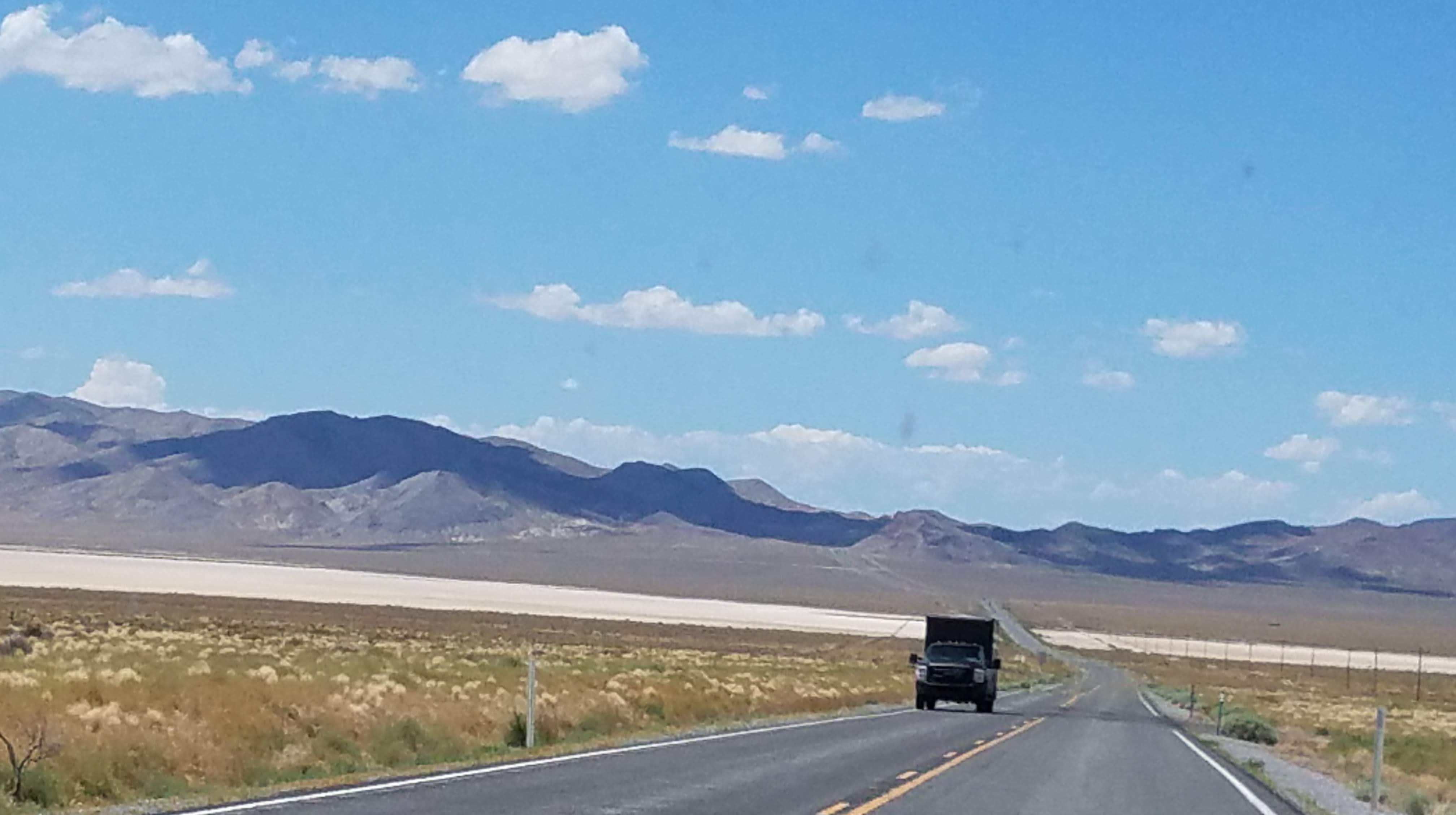
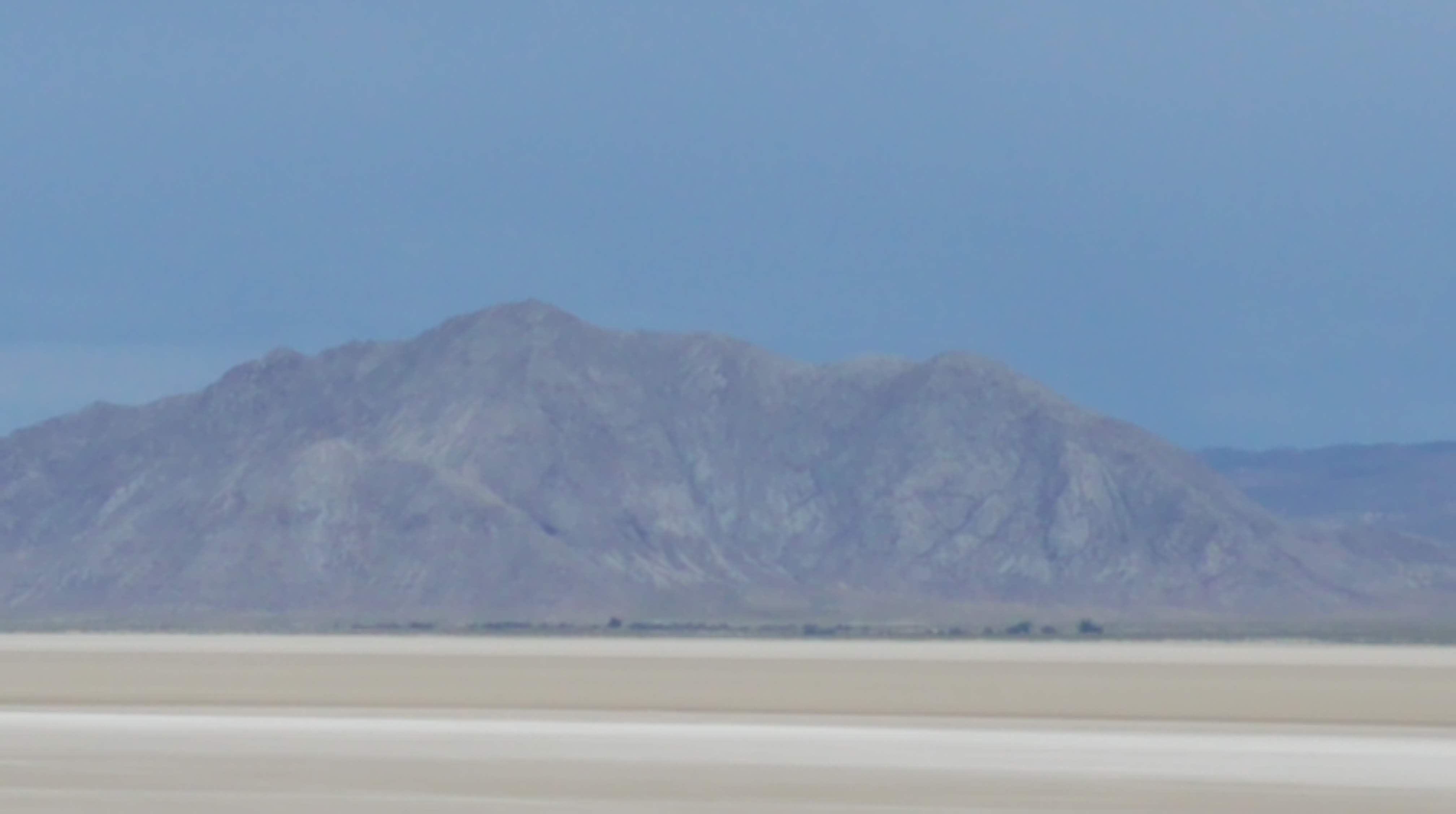
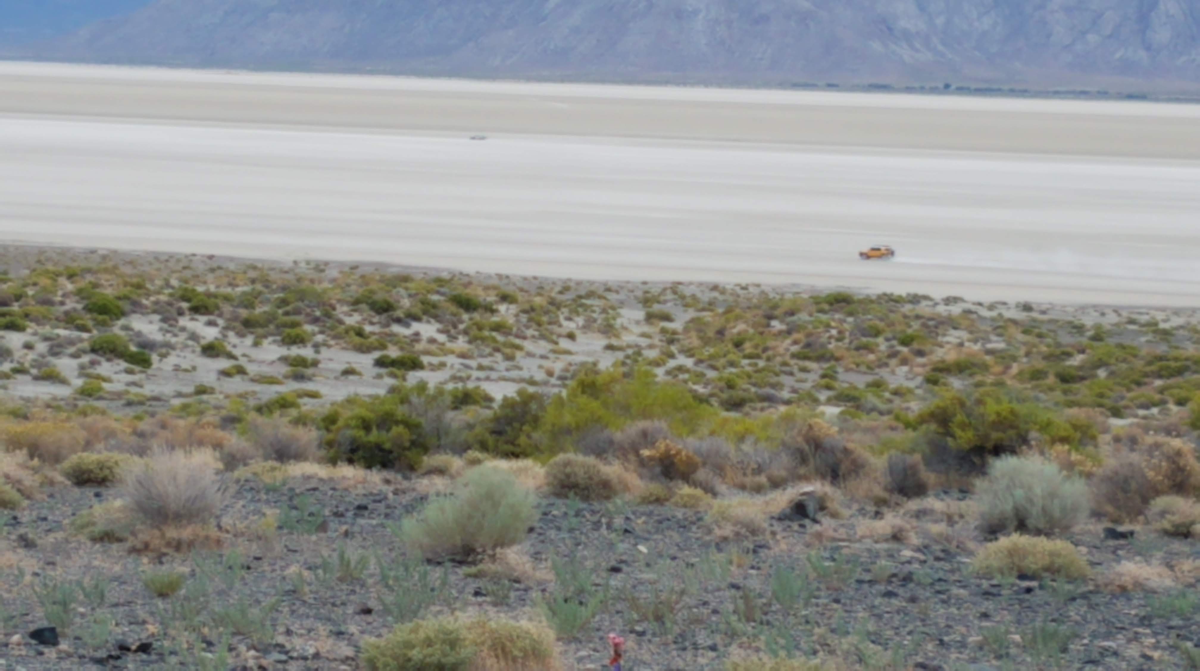
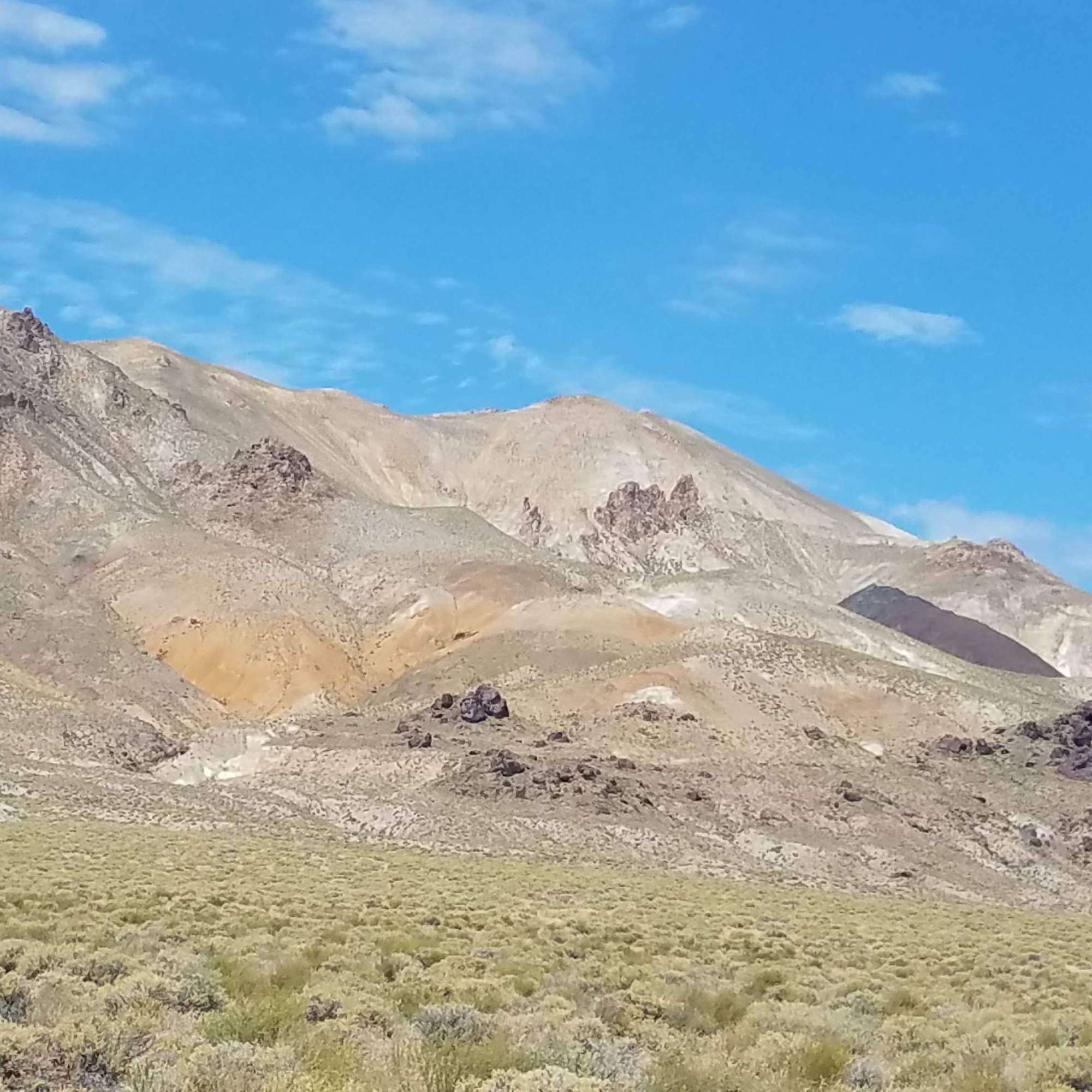
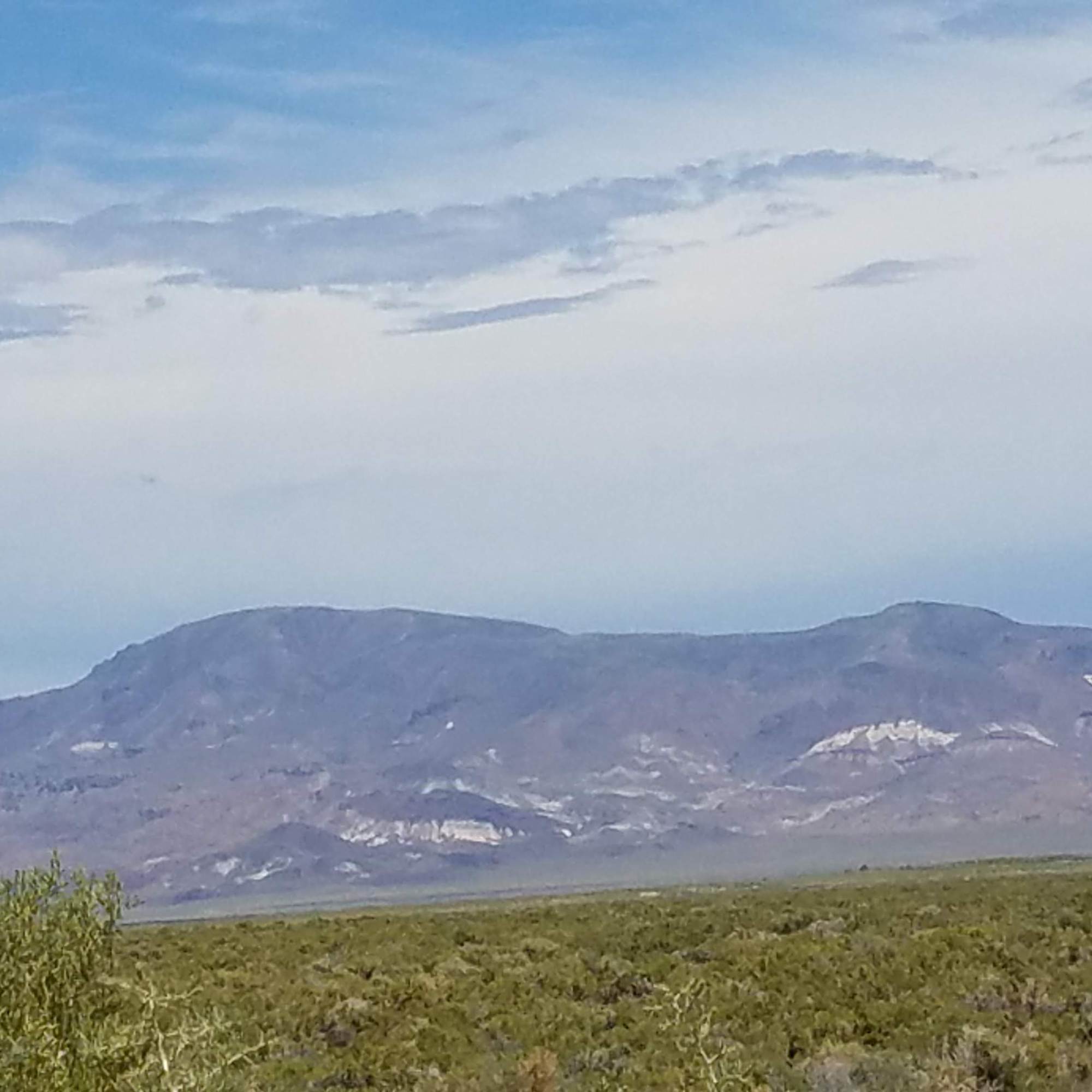
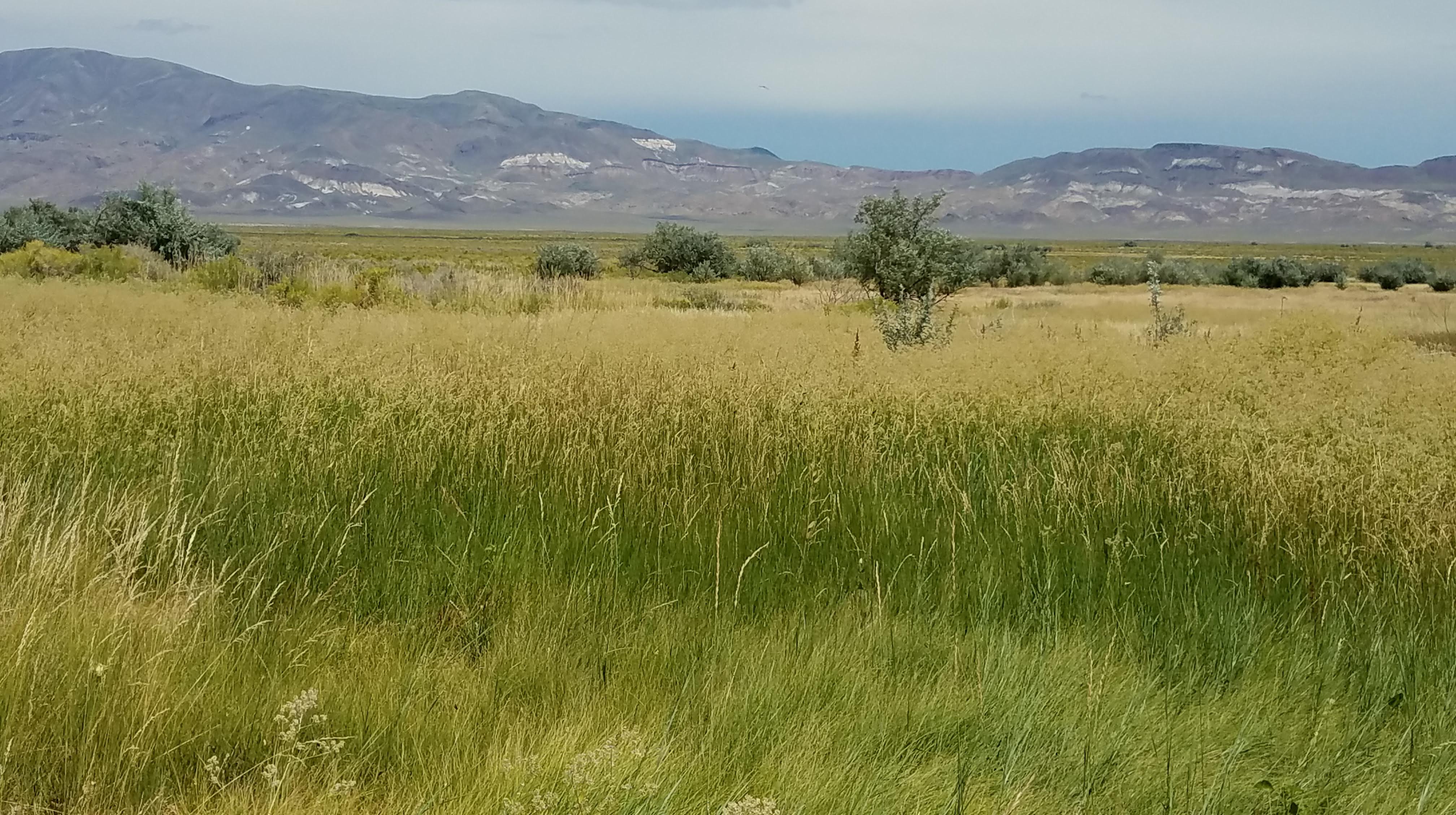
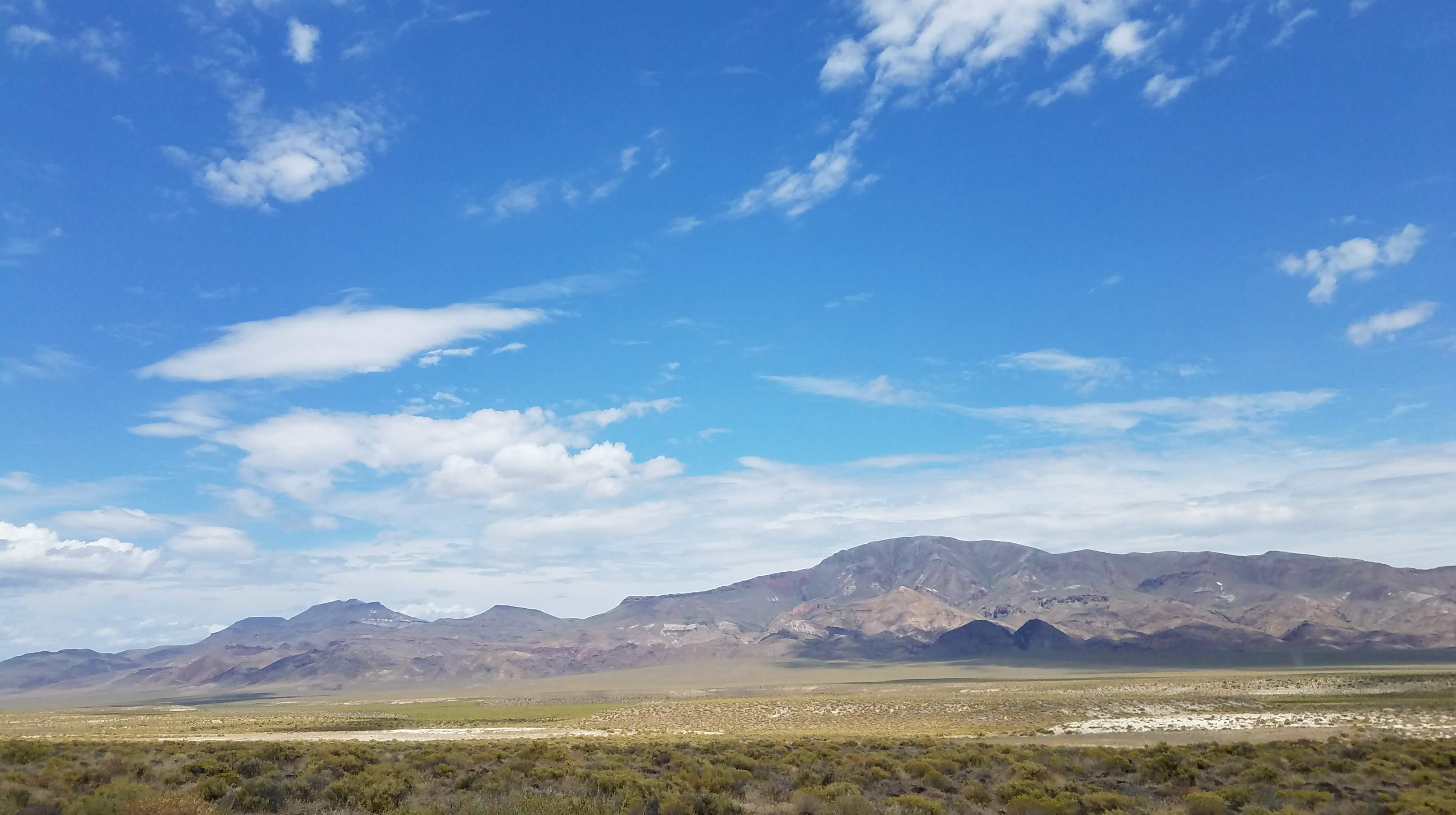
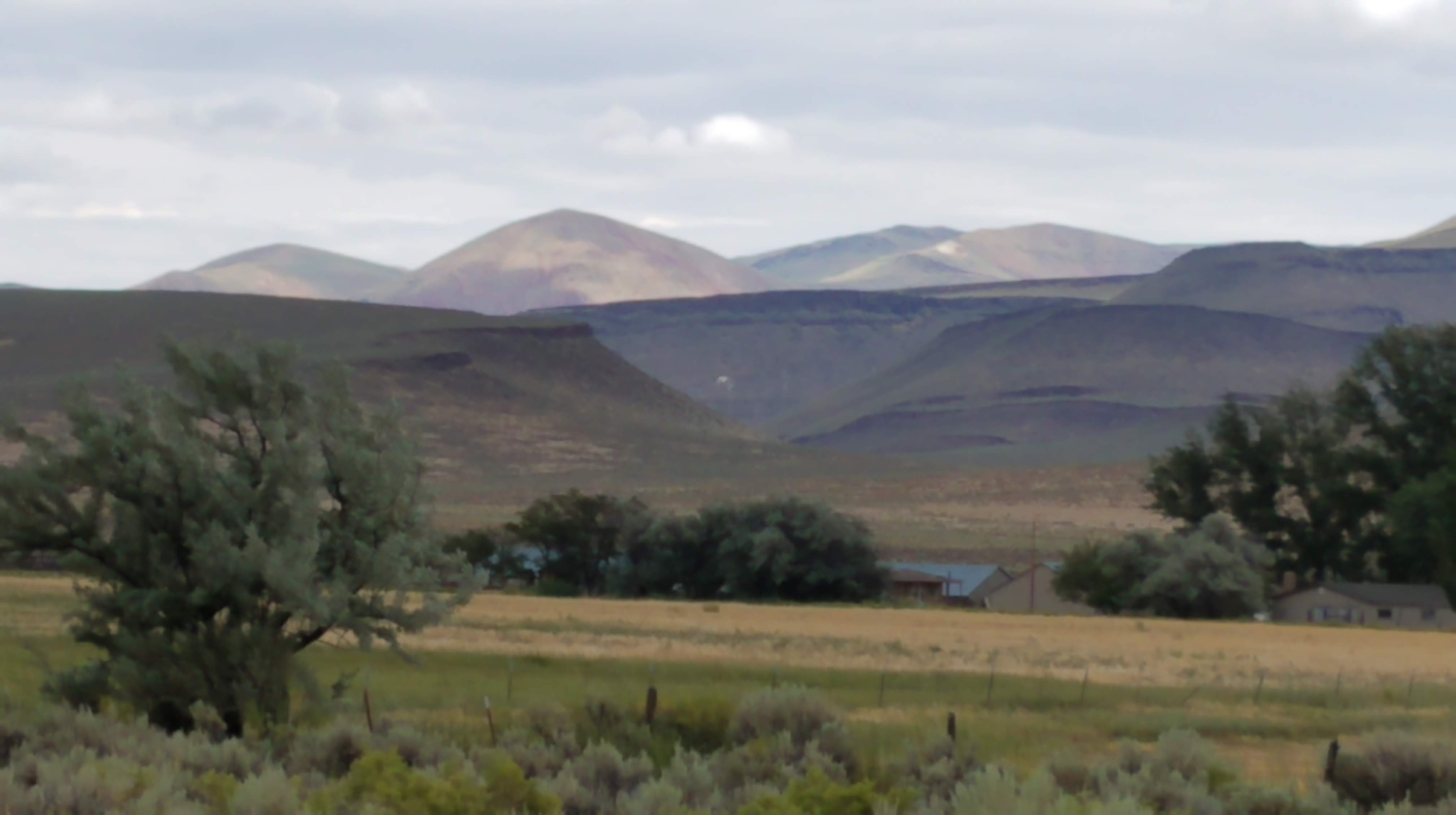
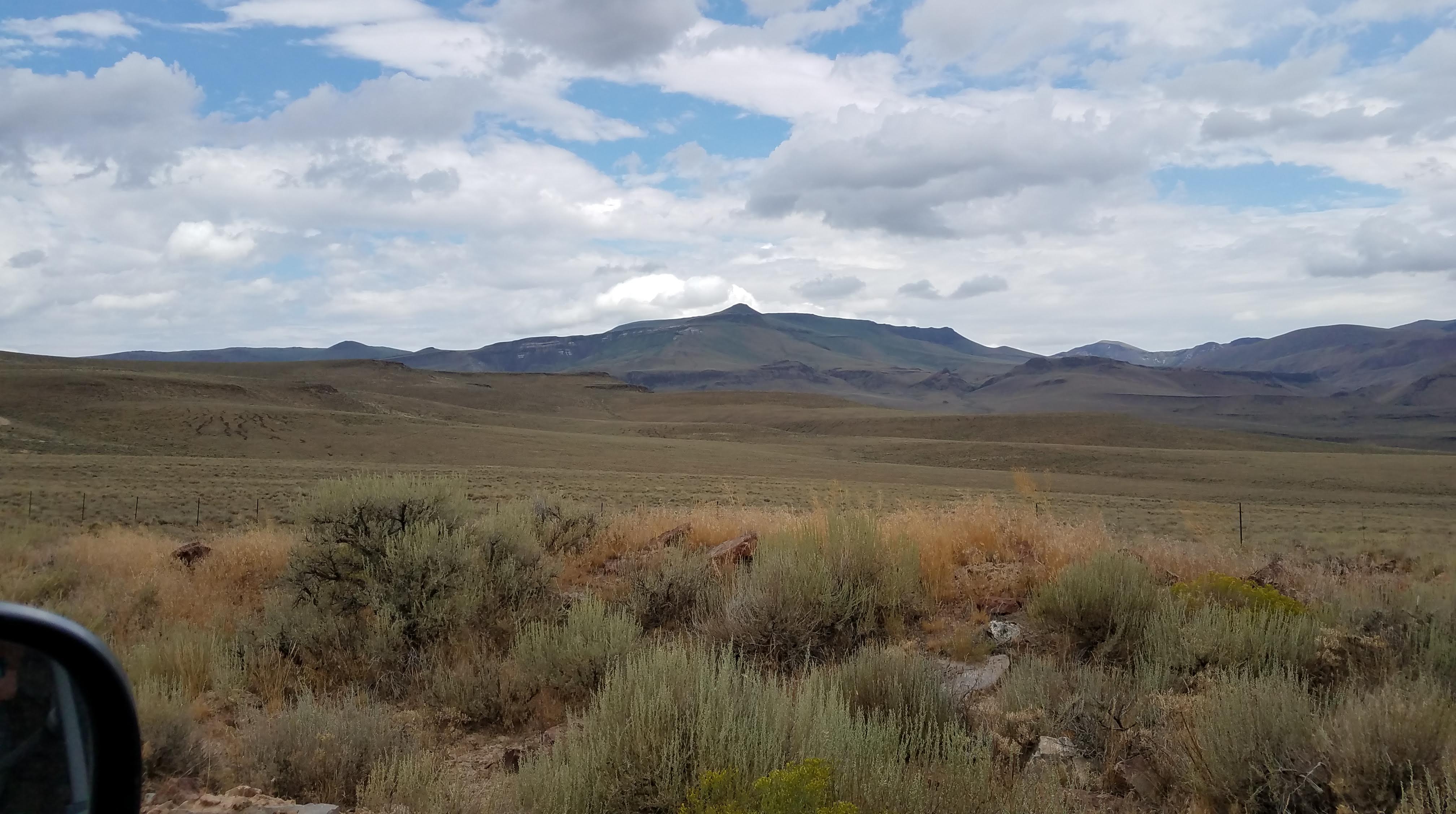
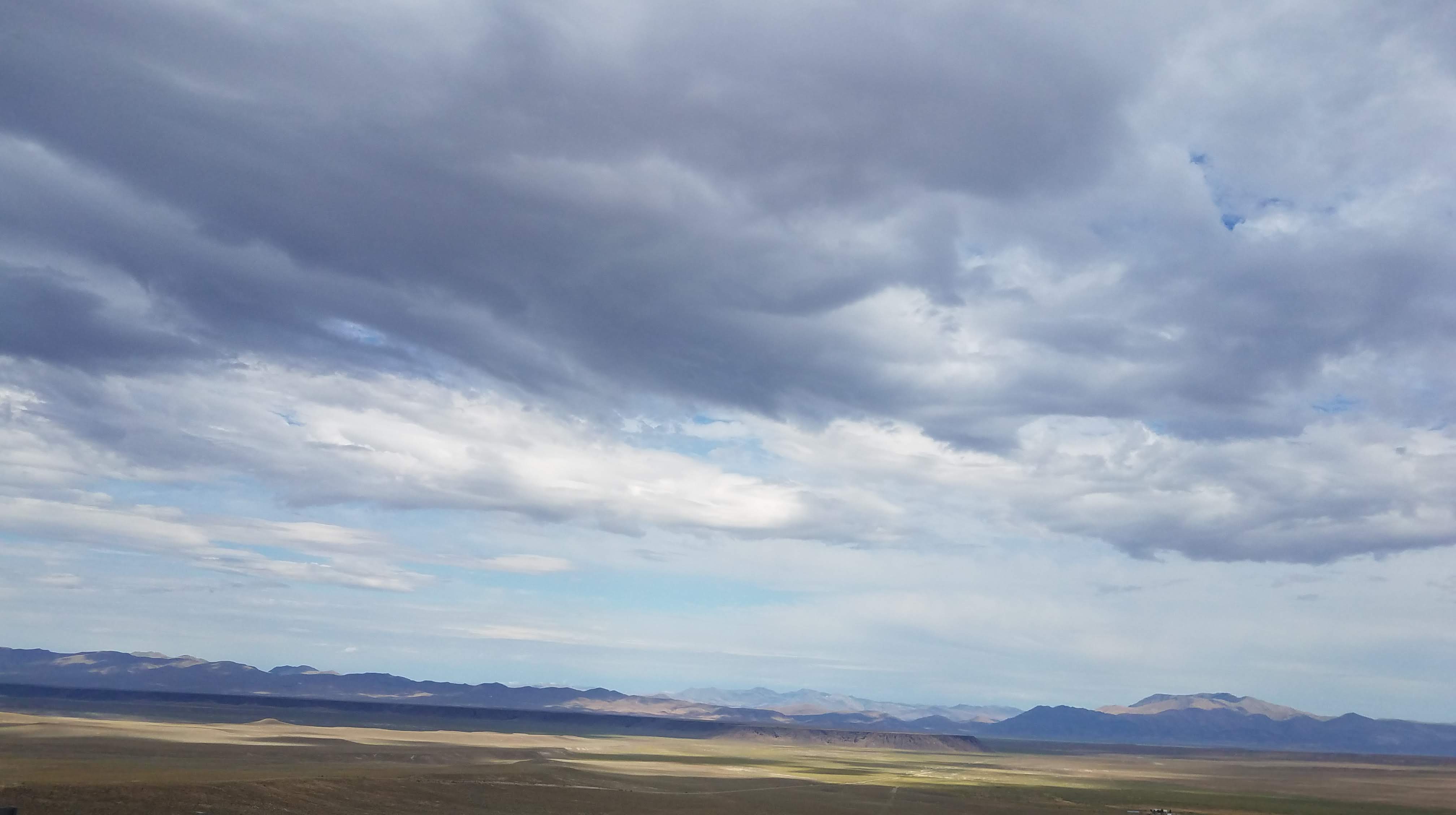
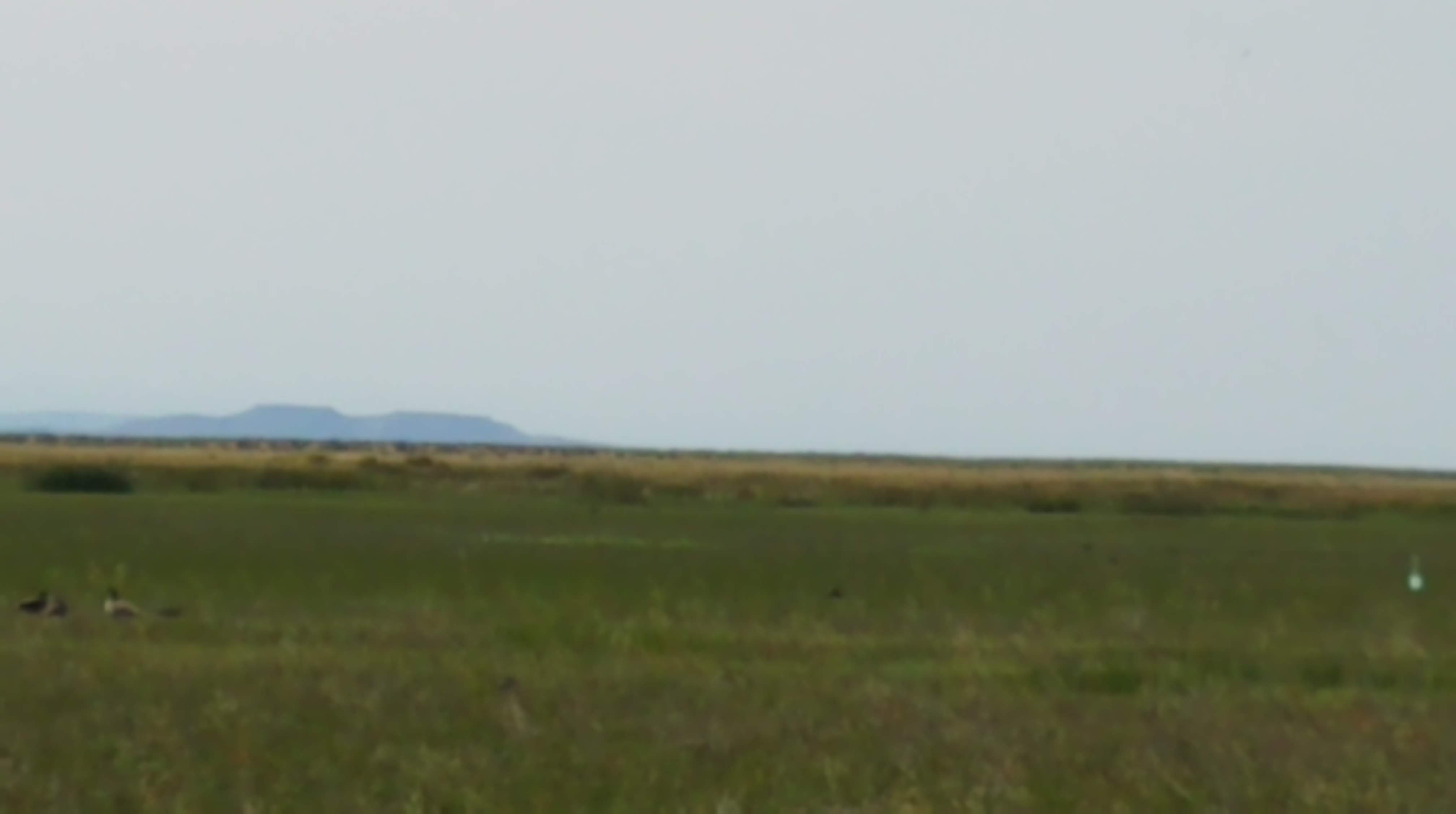
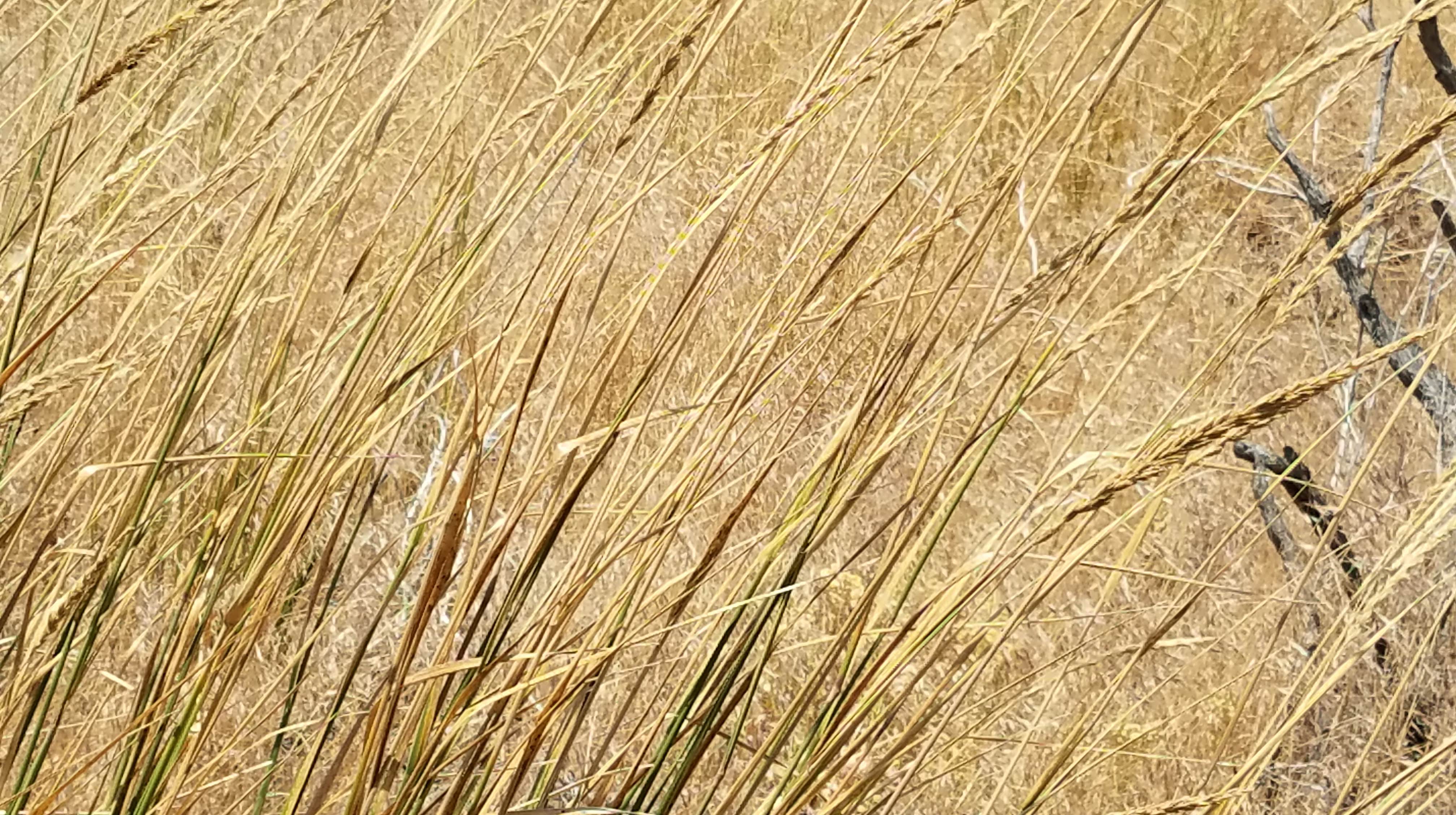
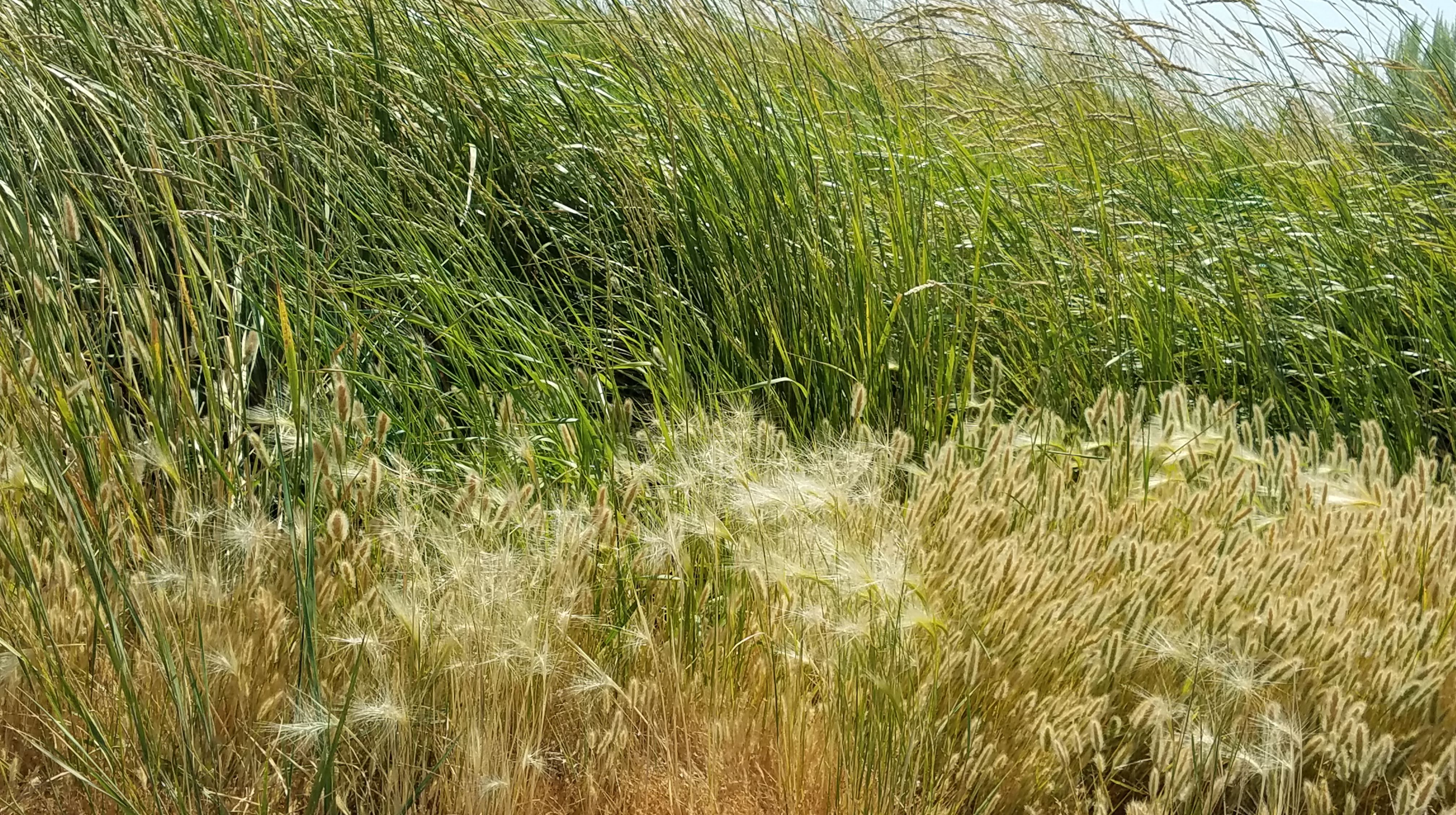
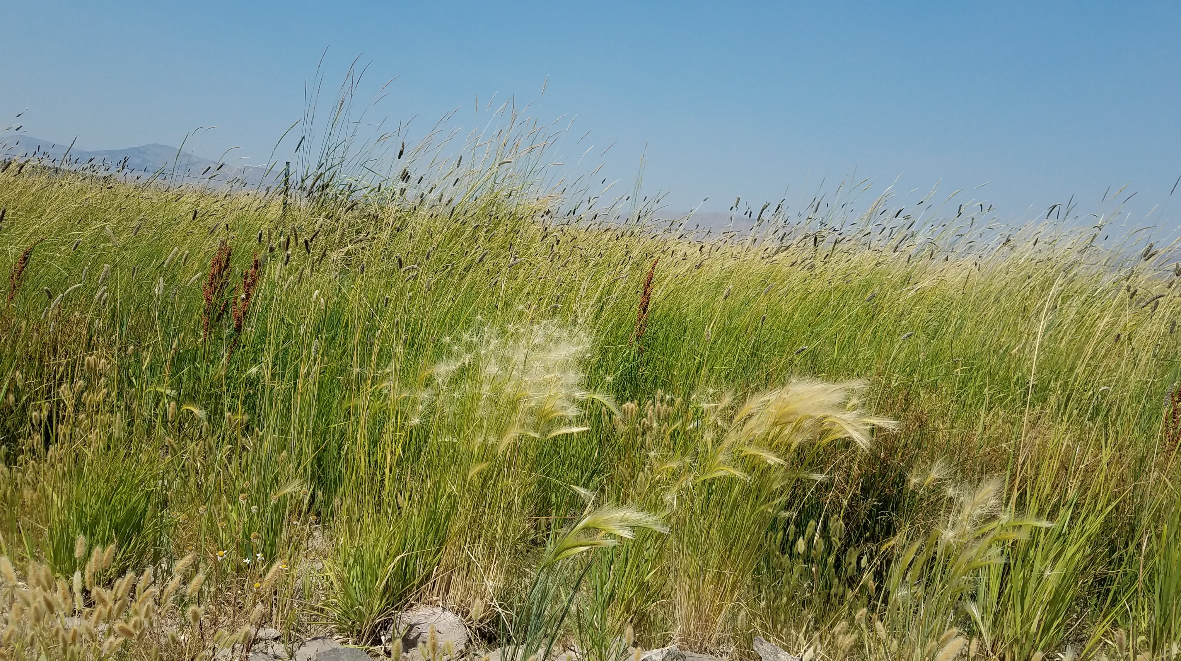
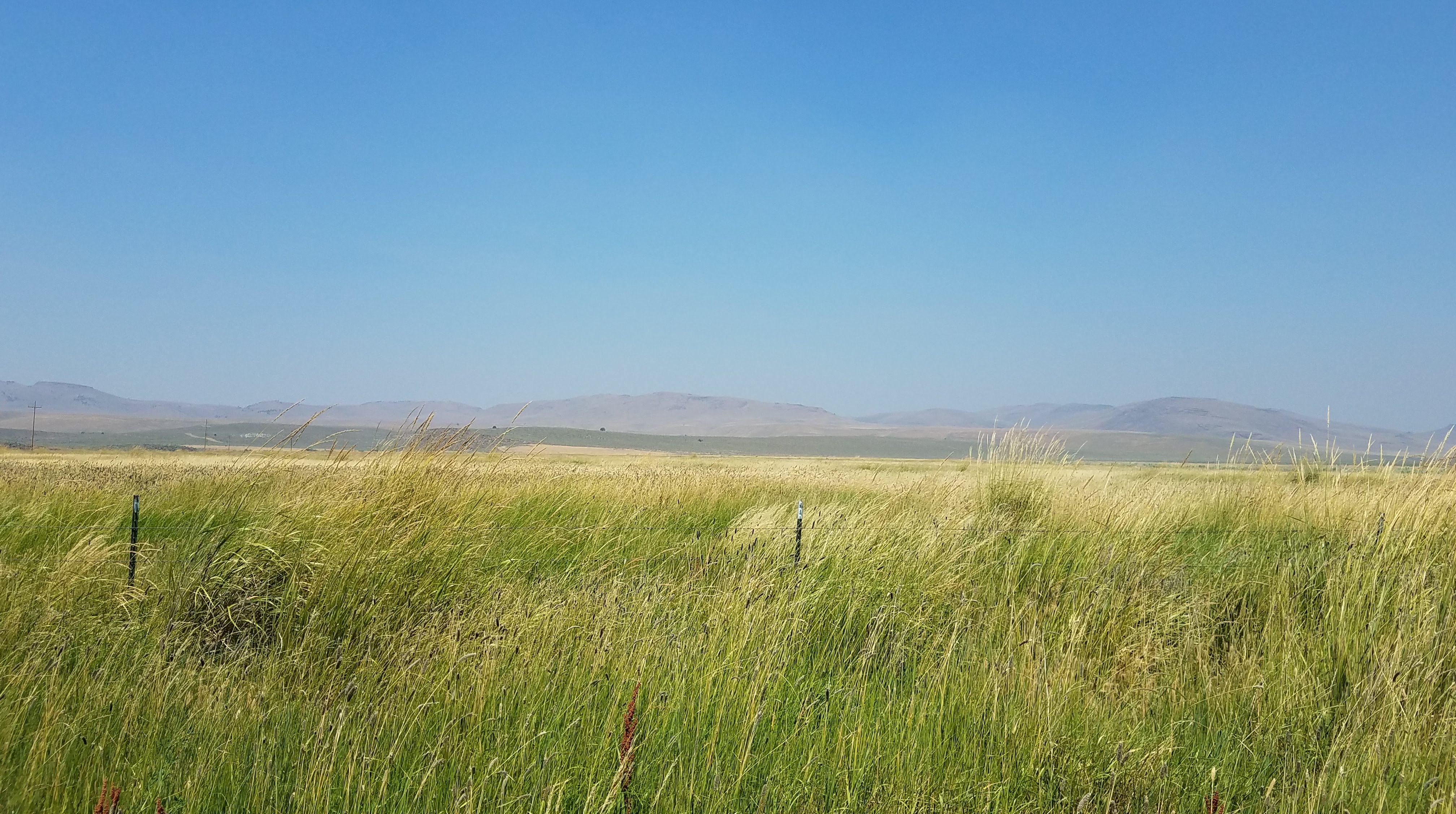
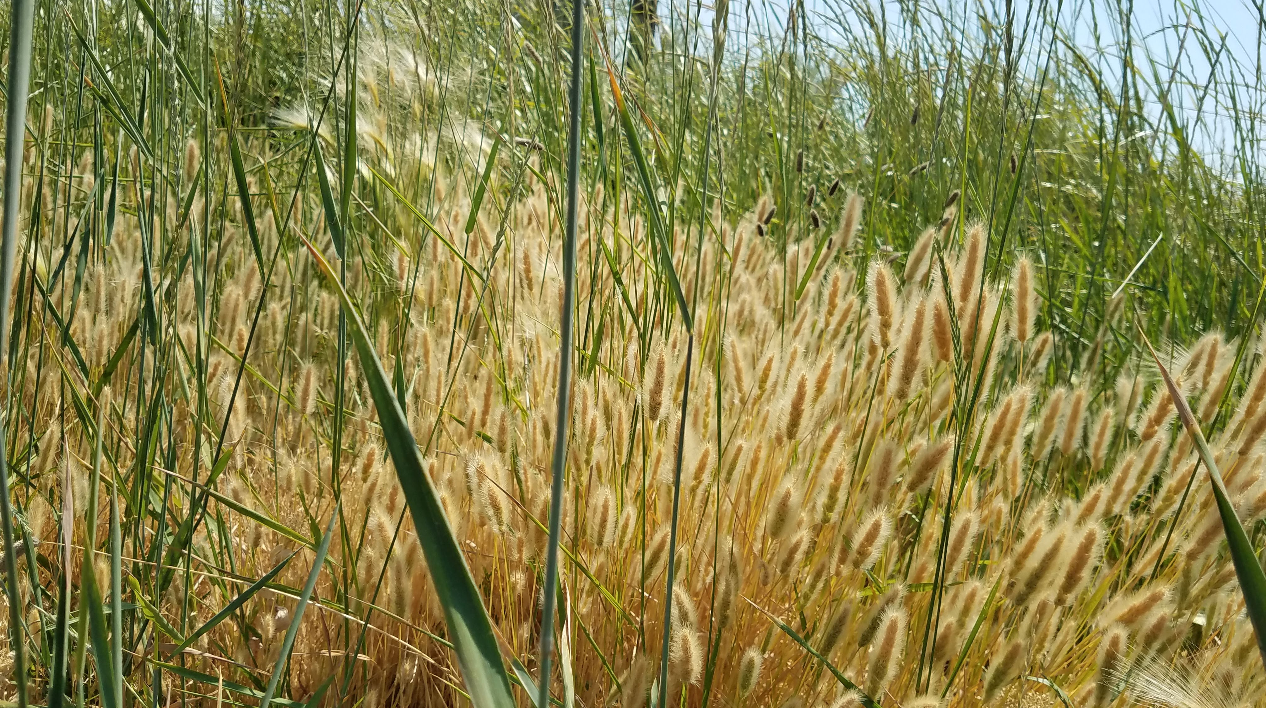
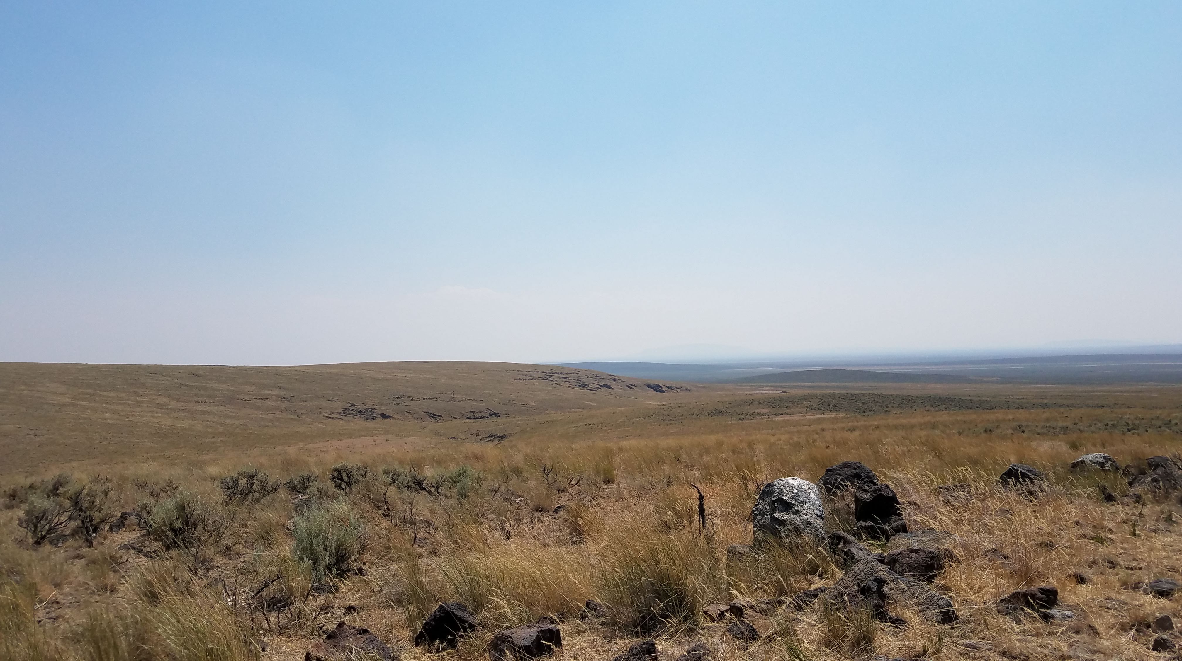
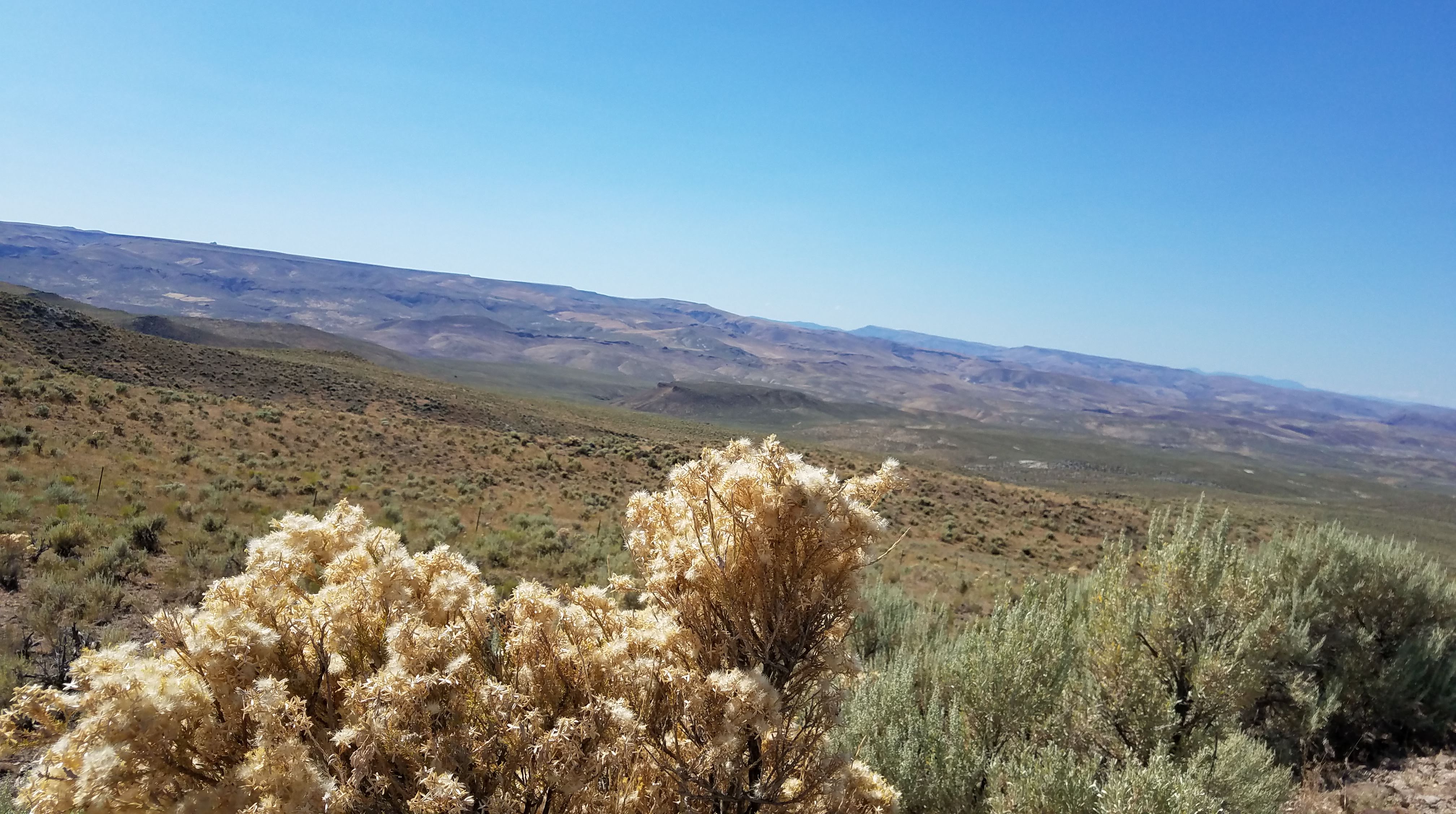
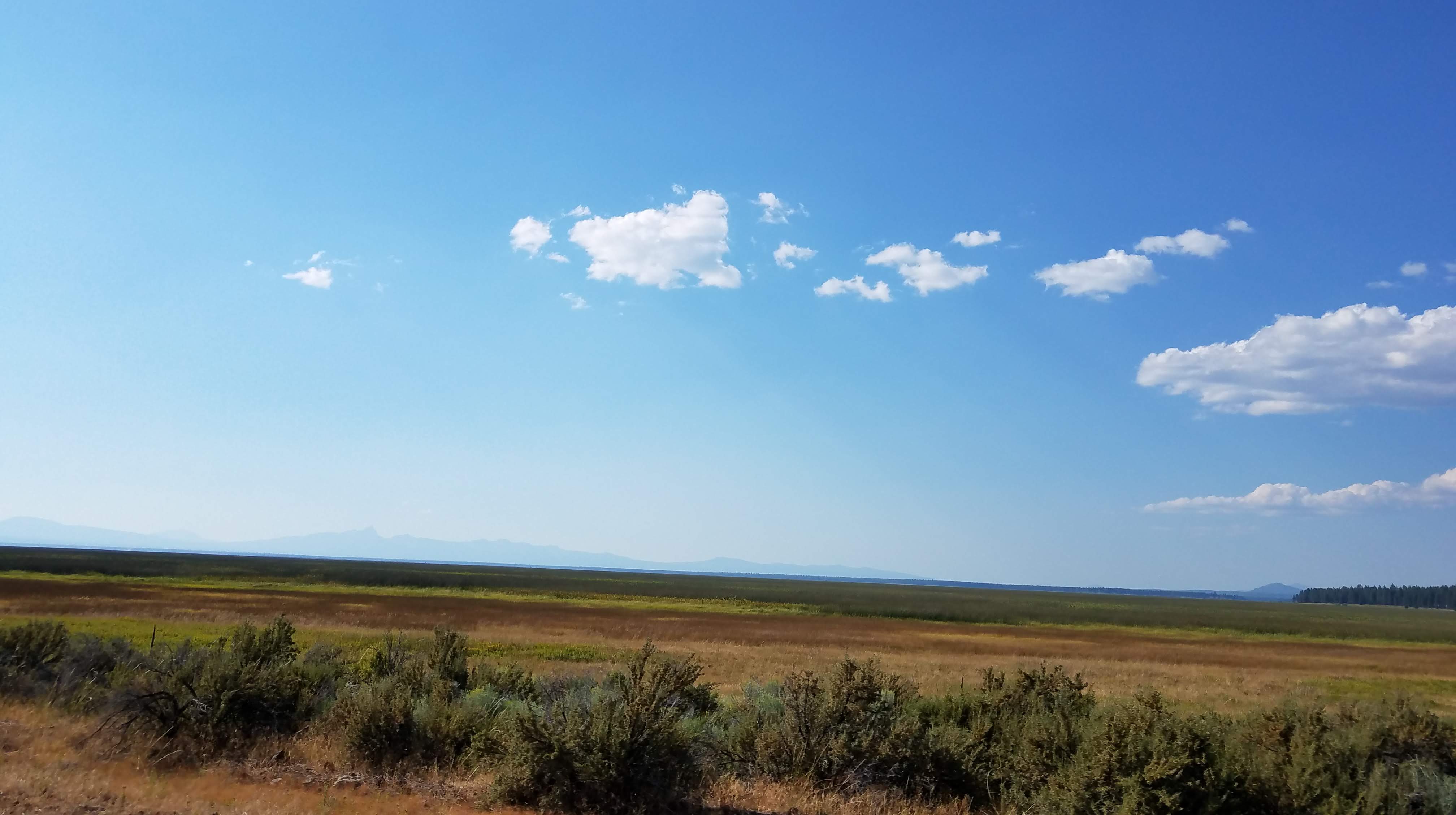
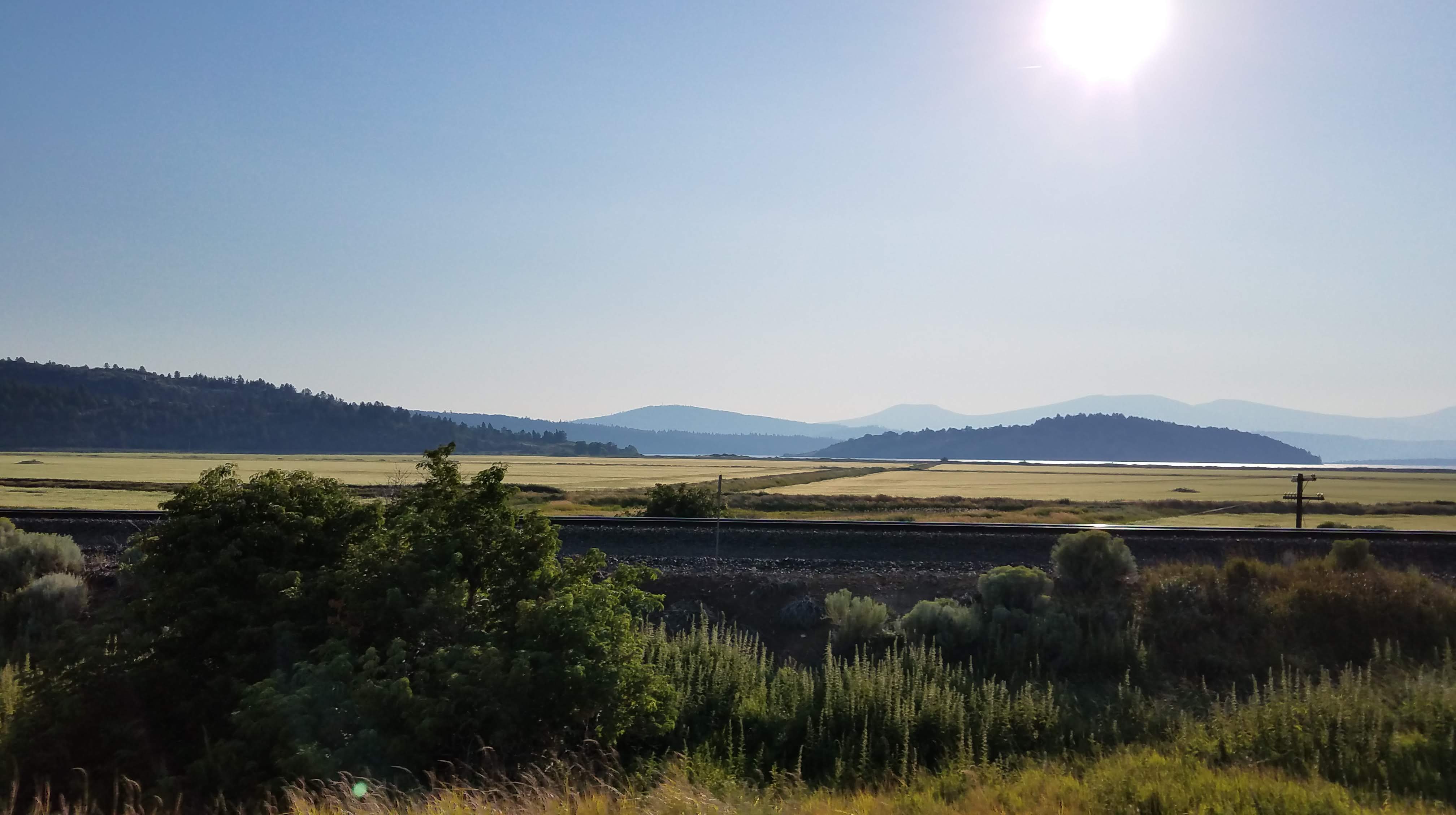
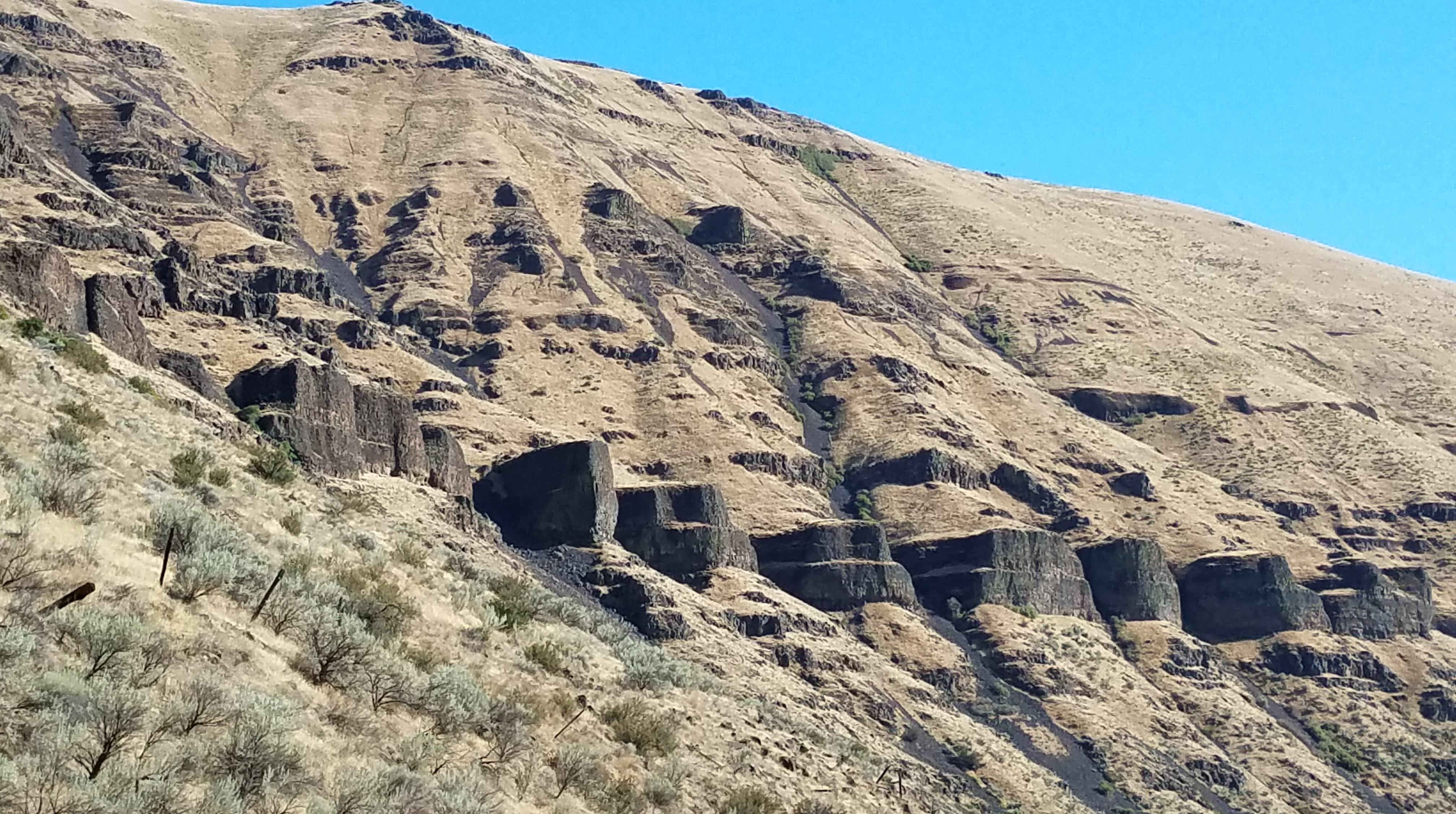
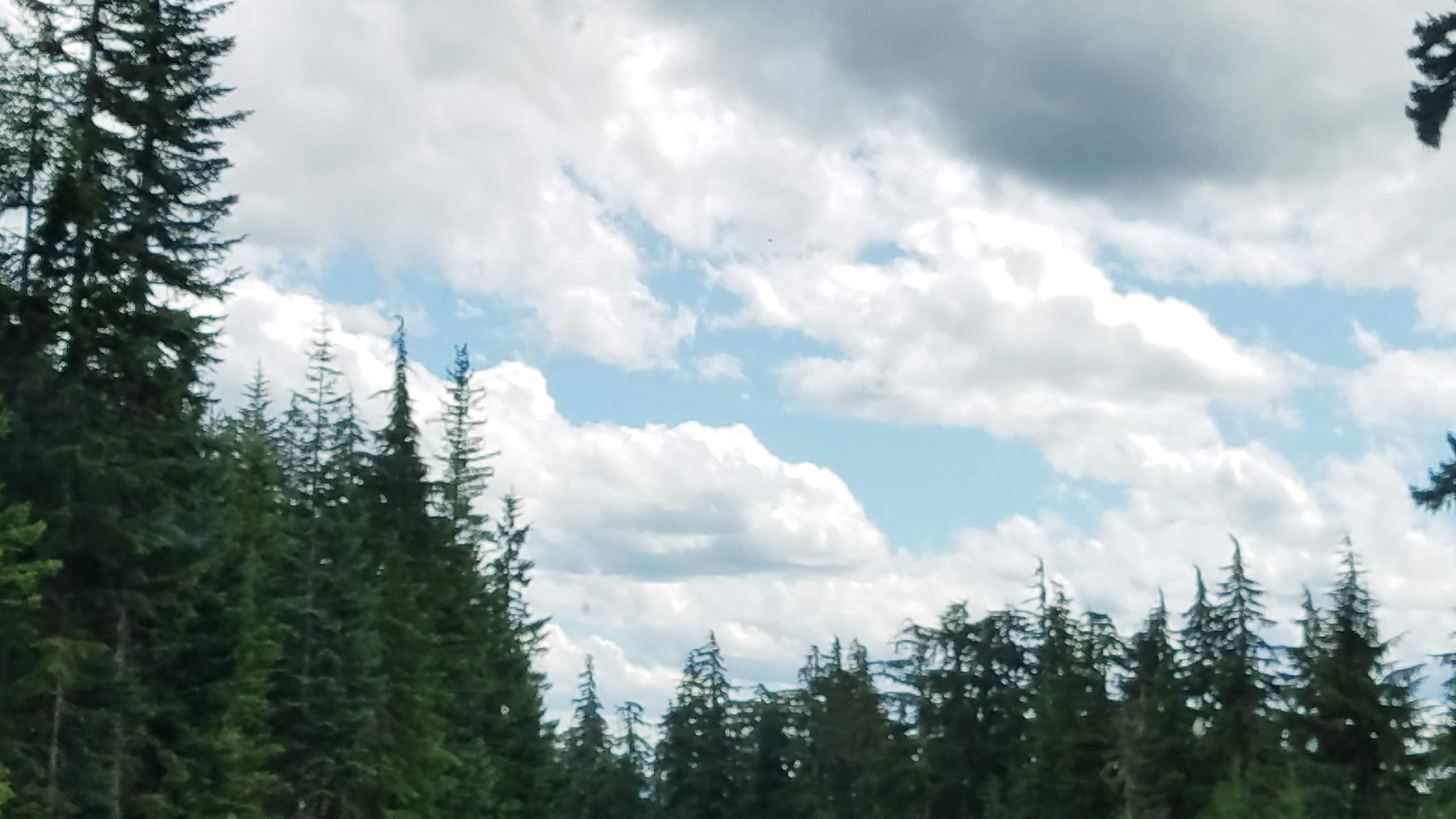
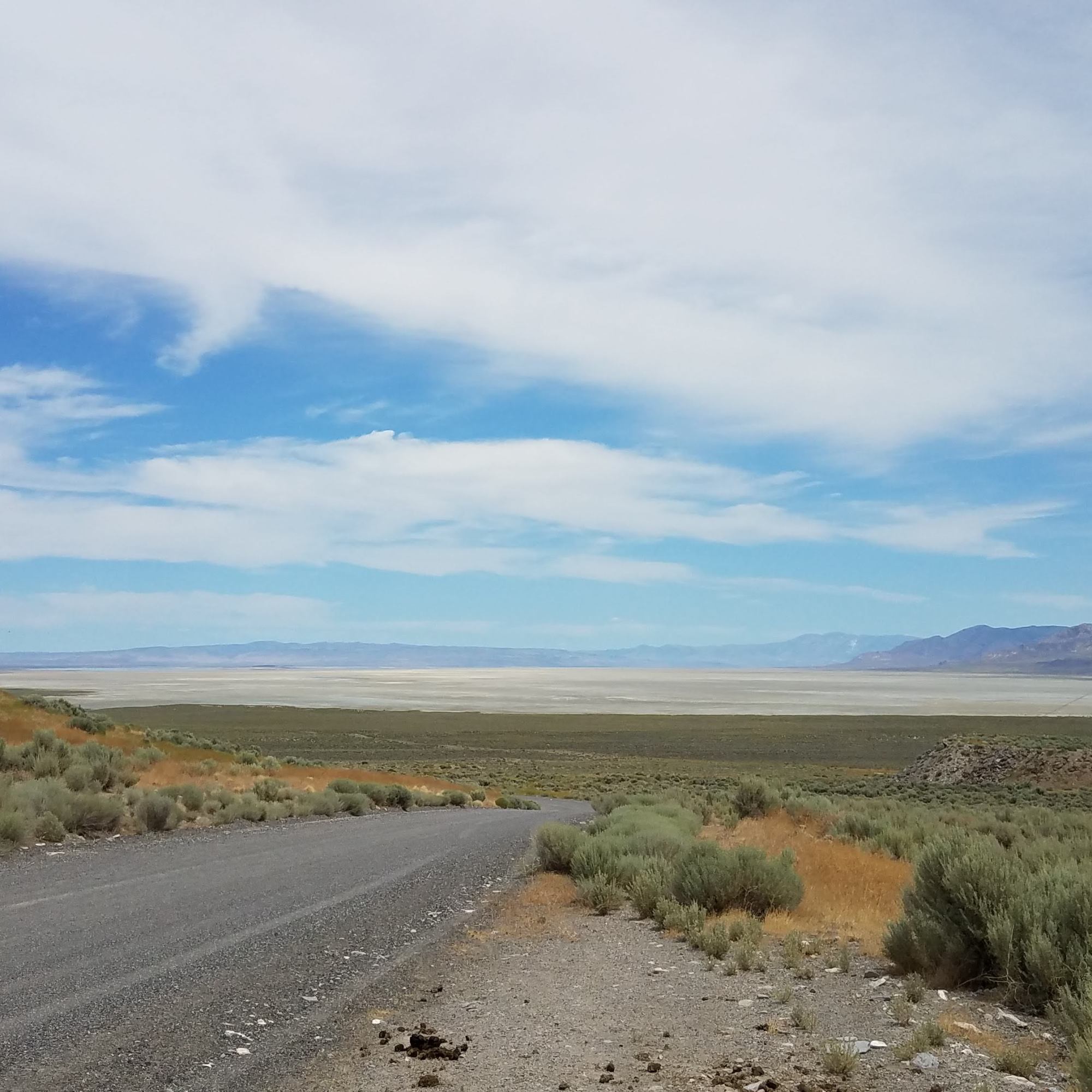
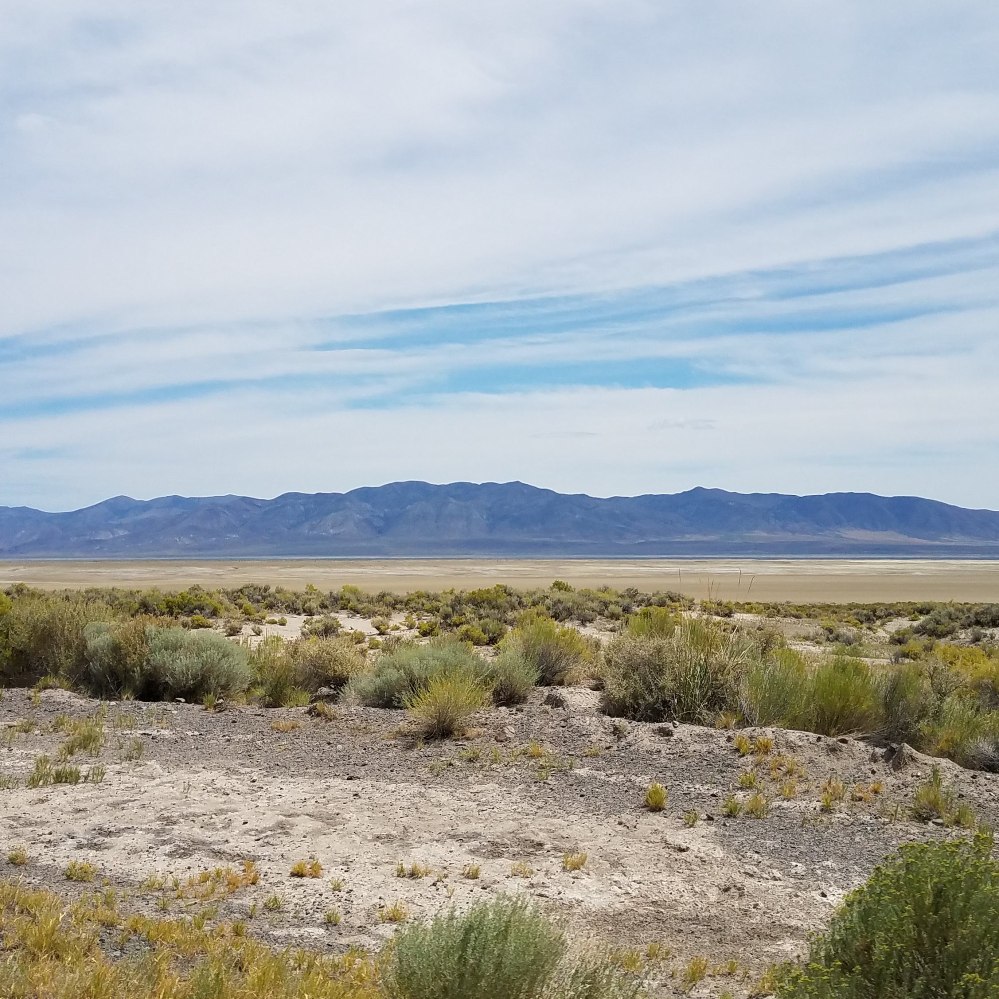
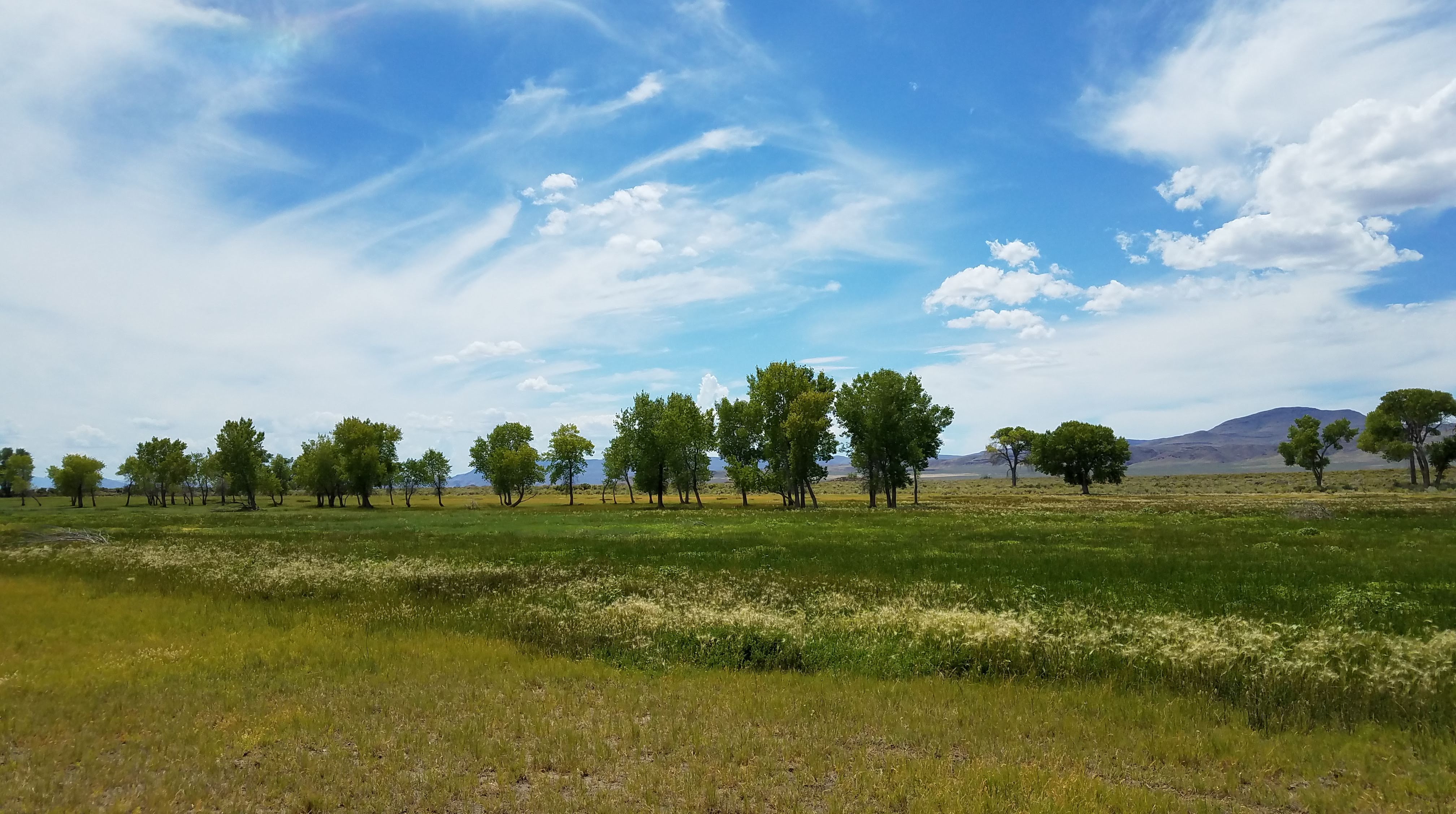
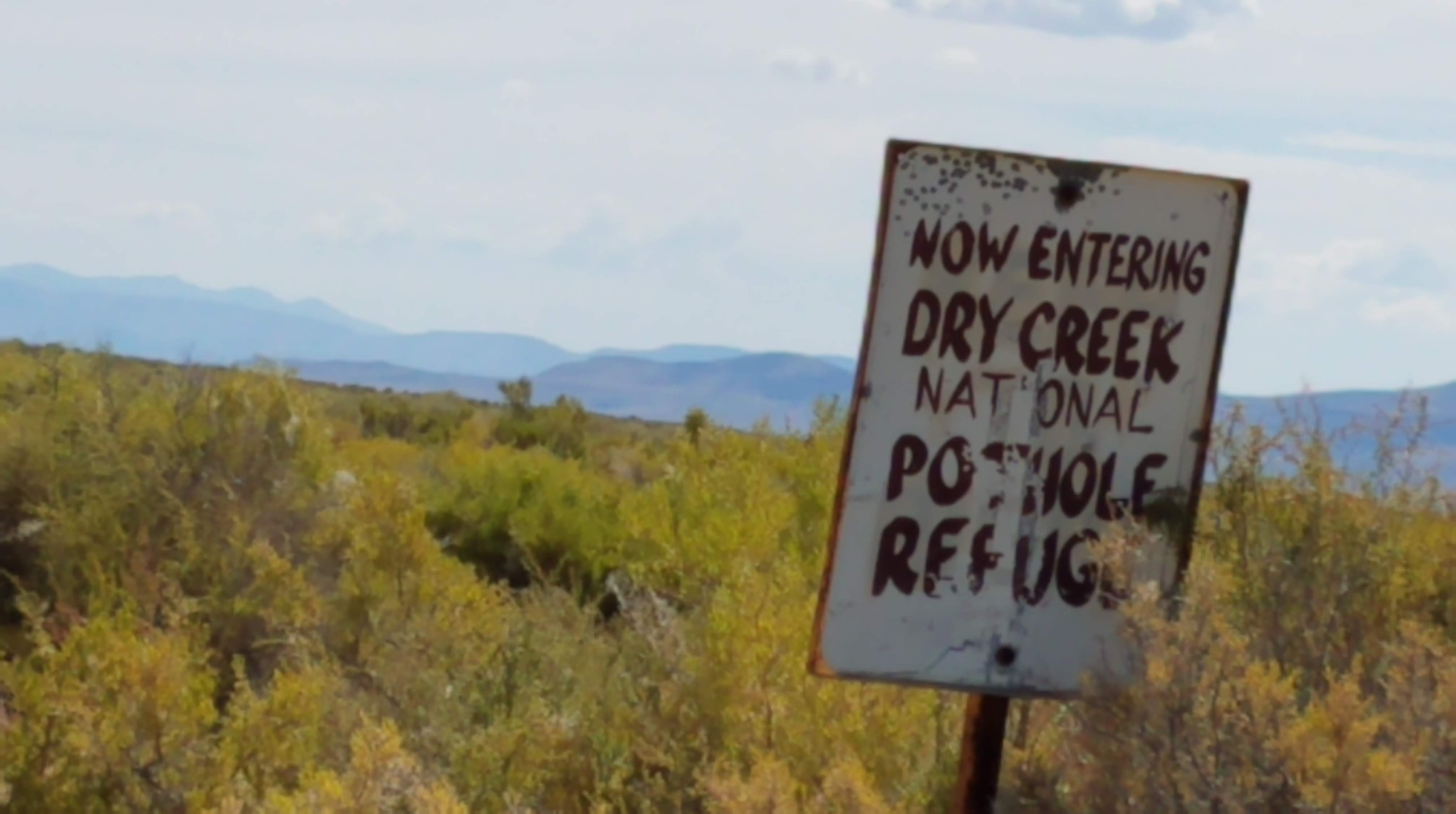
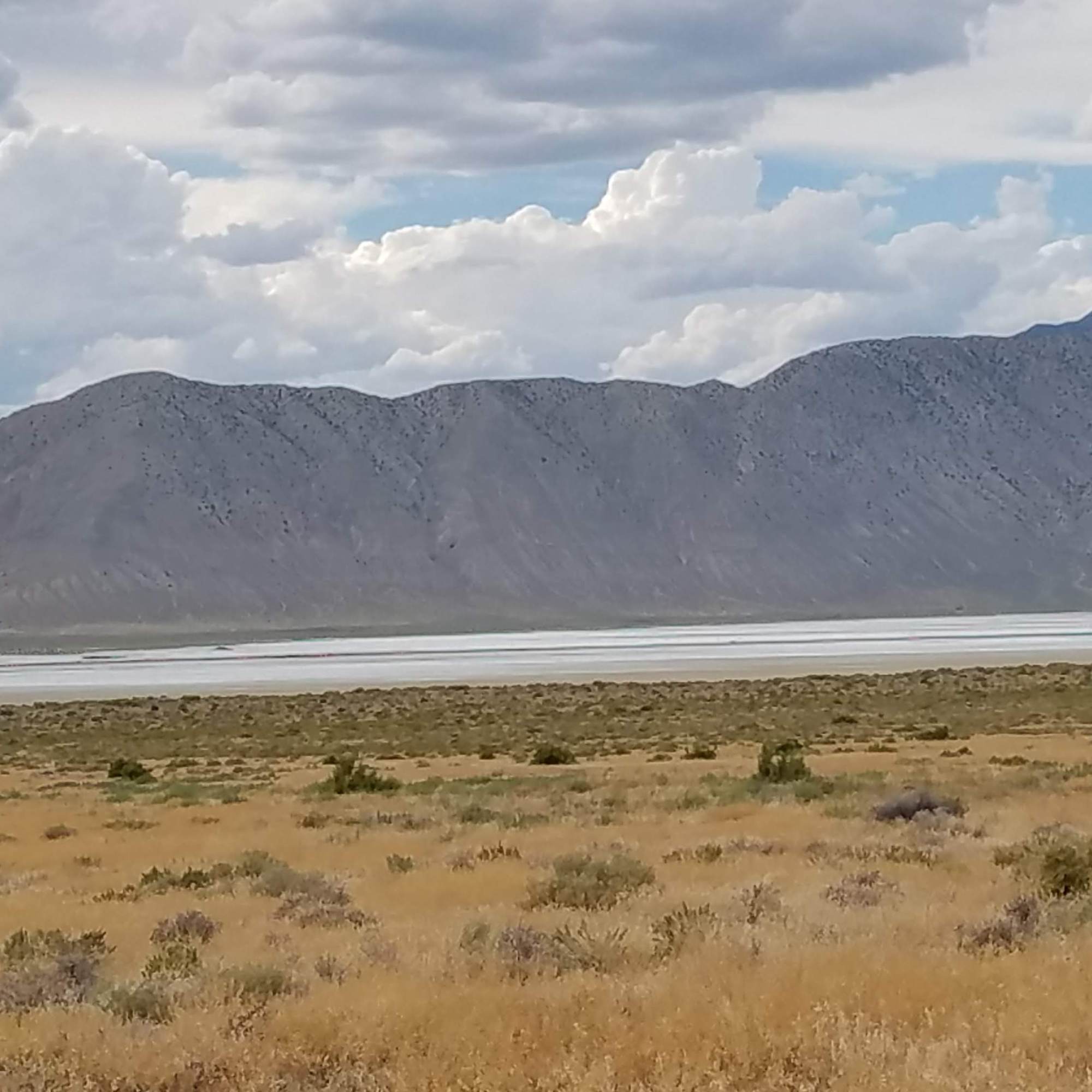
We arrive at the Smoke Creek Desert and continue on following the edge of the playa. Looks like the playa is still flooded – but it’s just a mirage. I wonder, how does a mirage create a reflection of trees and clouds? Smoke Creek Desert and Black Rock Desert were flooded such that folks were kayaking on them this spring. The two deserts almost join together, with Gerlach in the center.

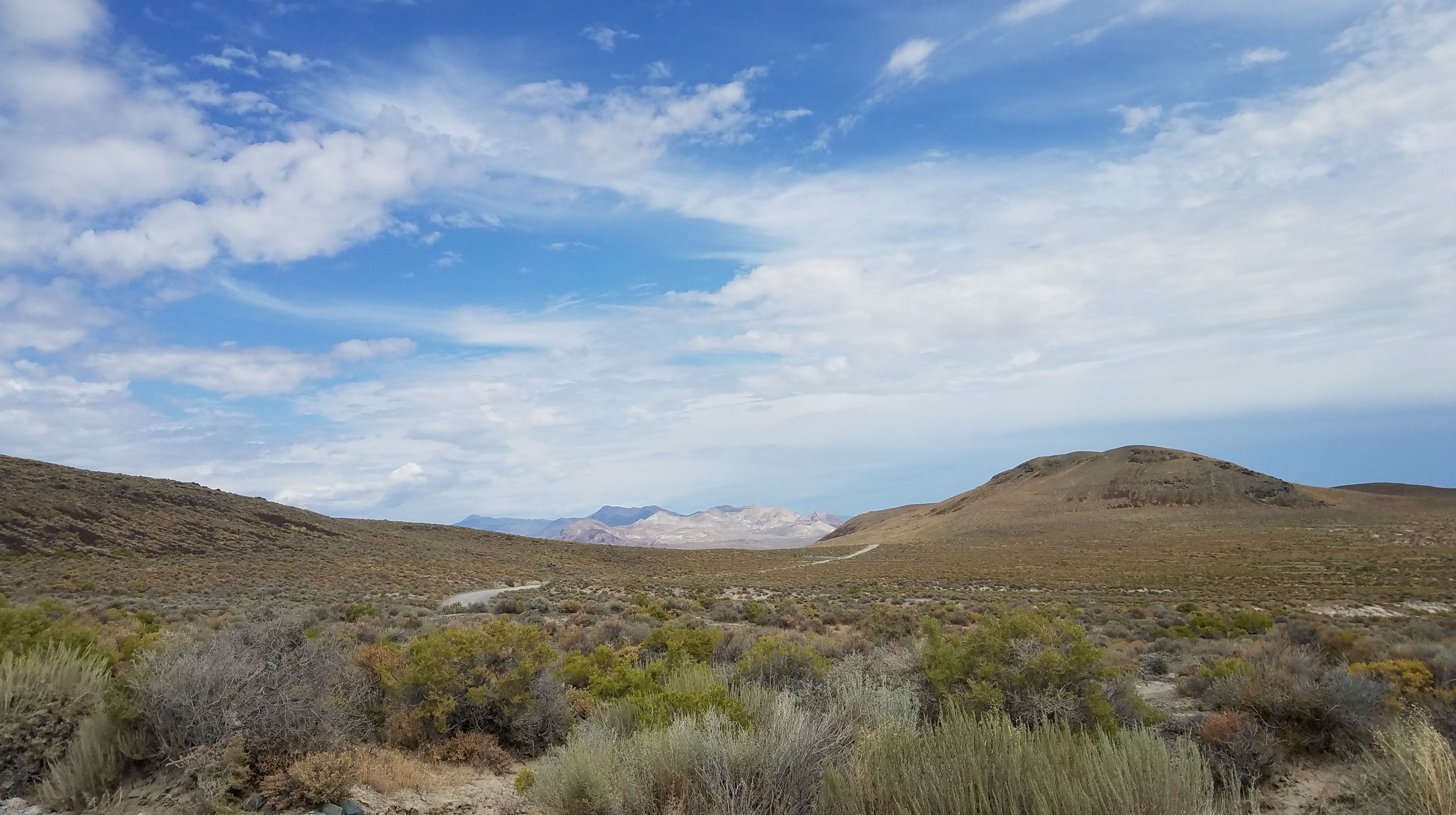
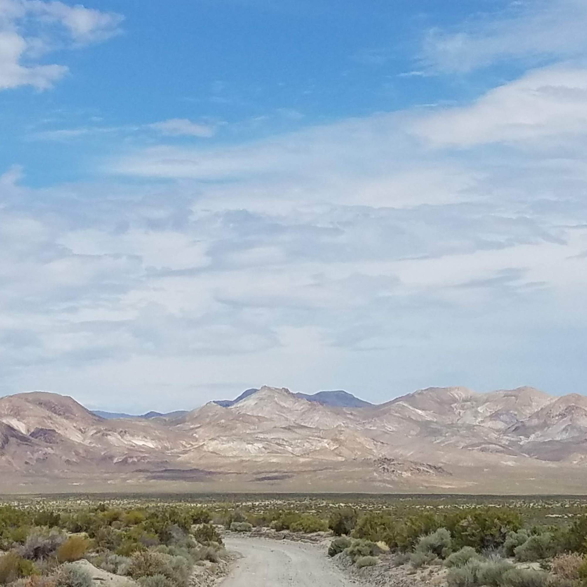
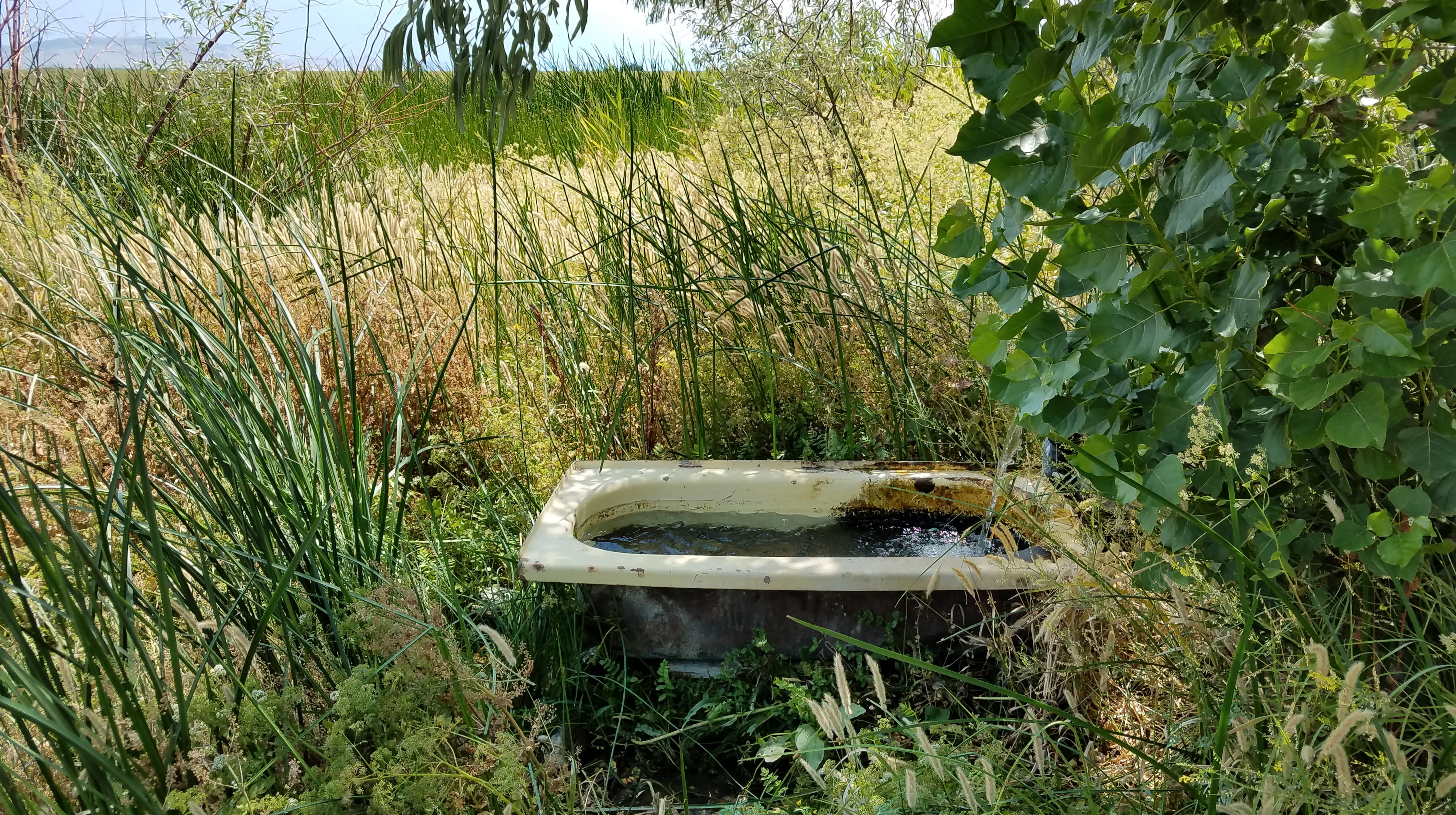
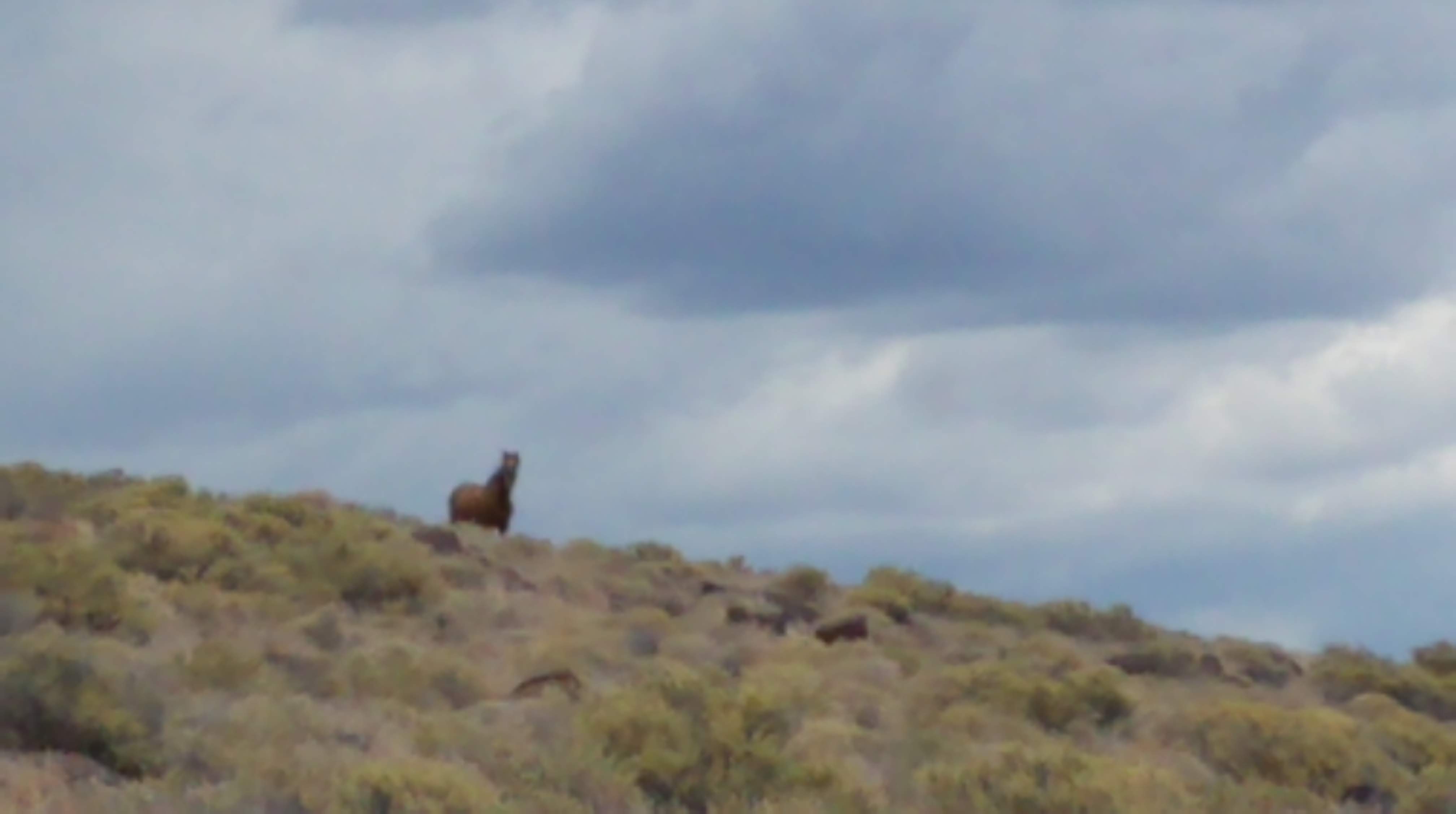
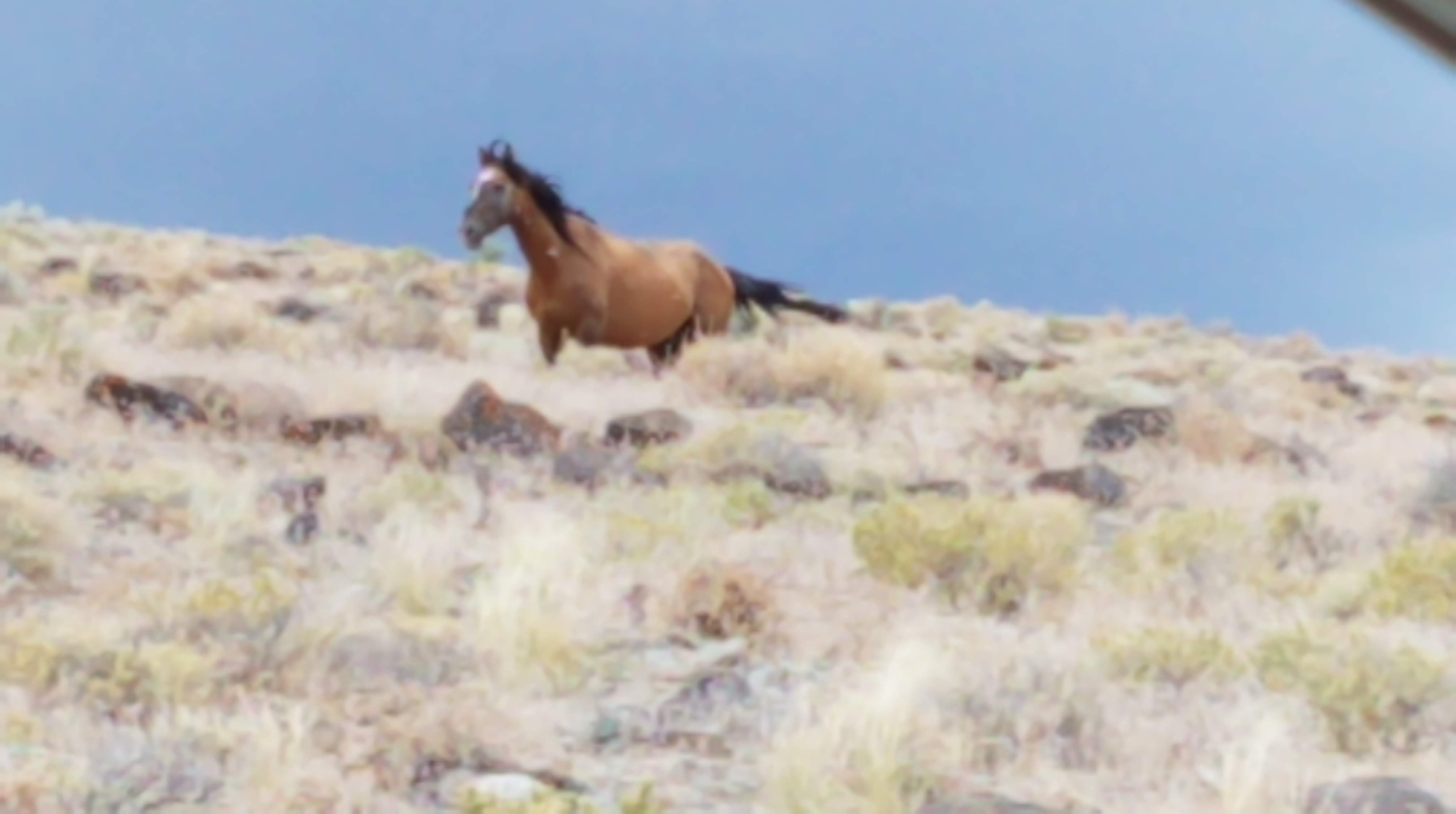
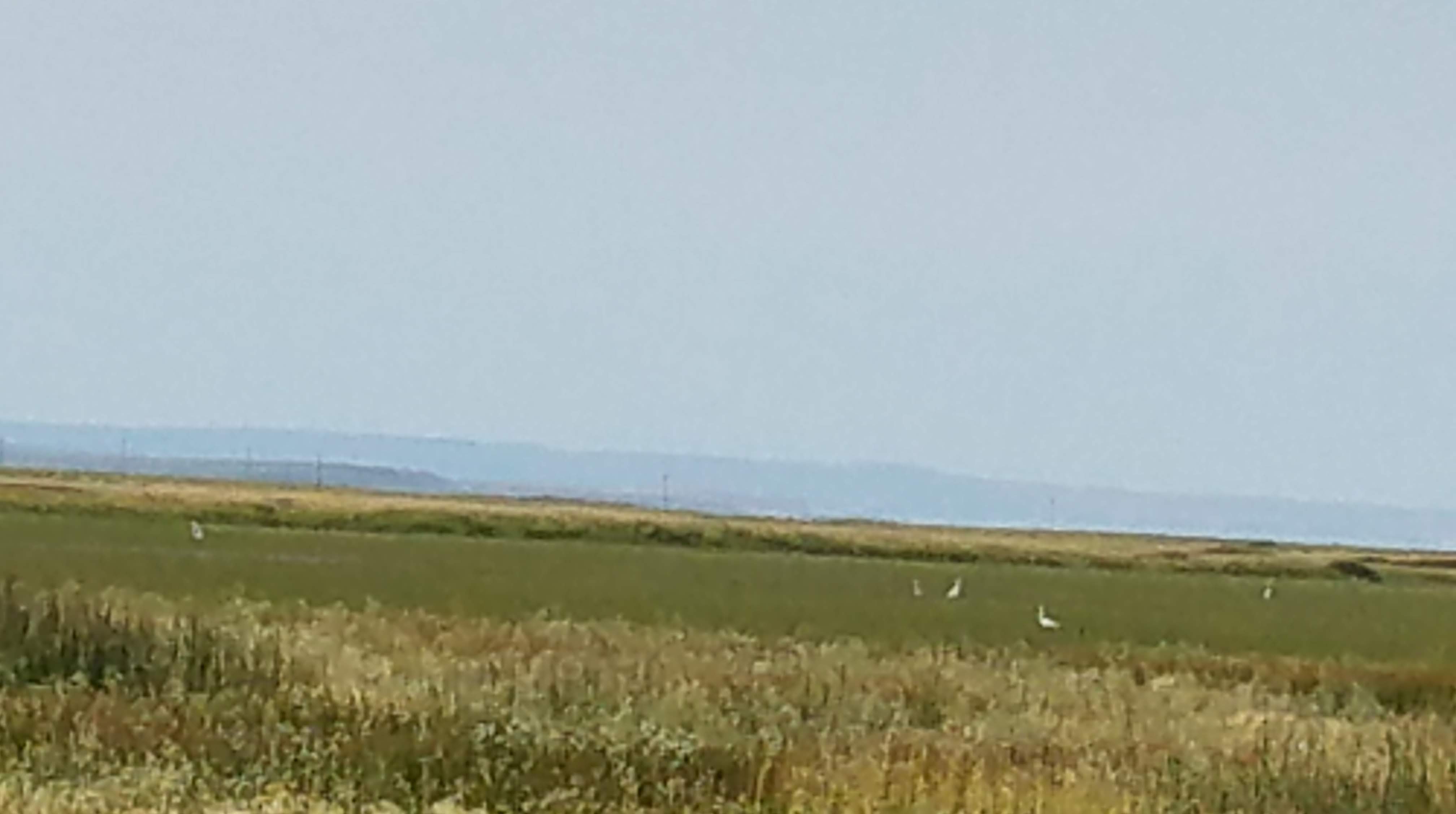
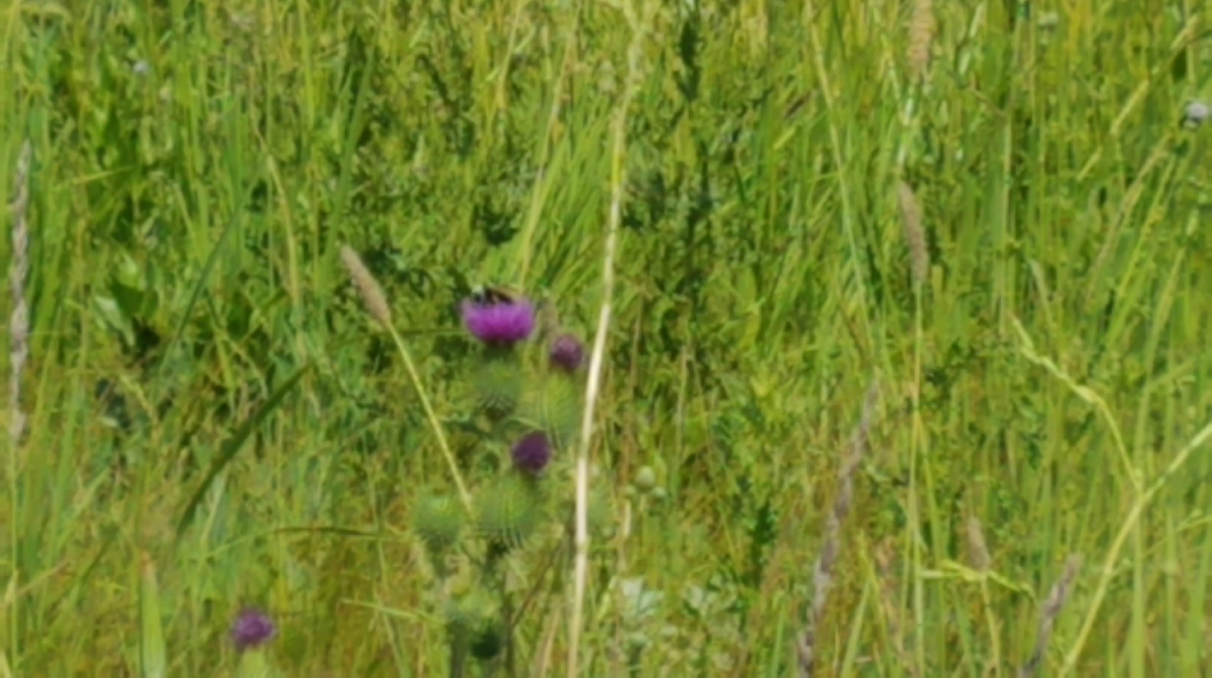
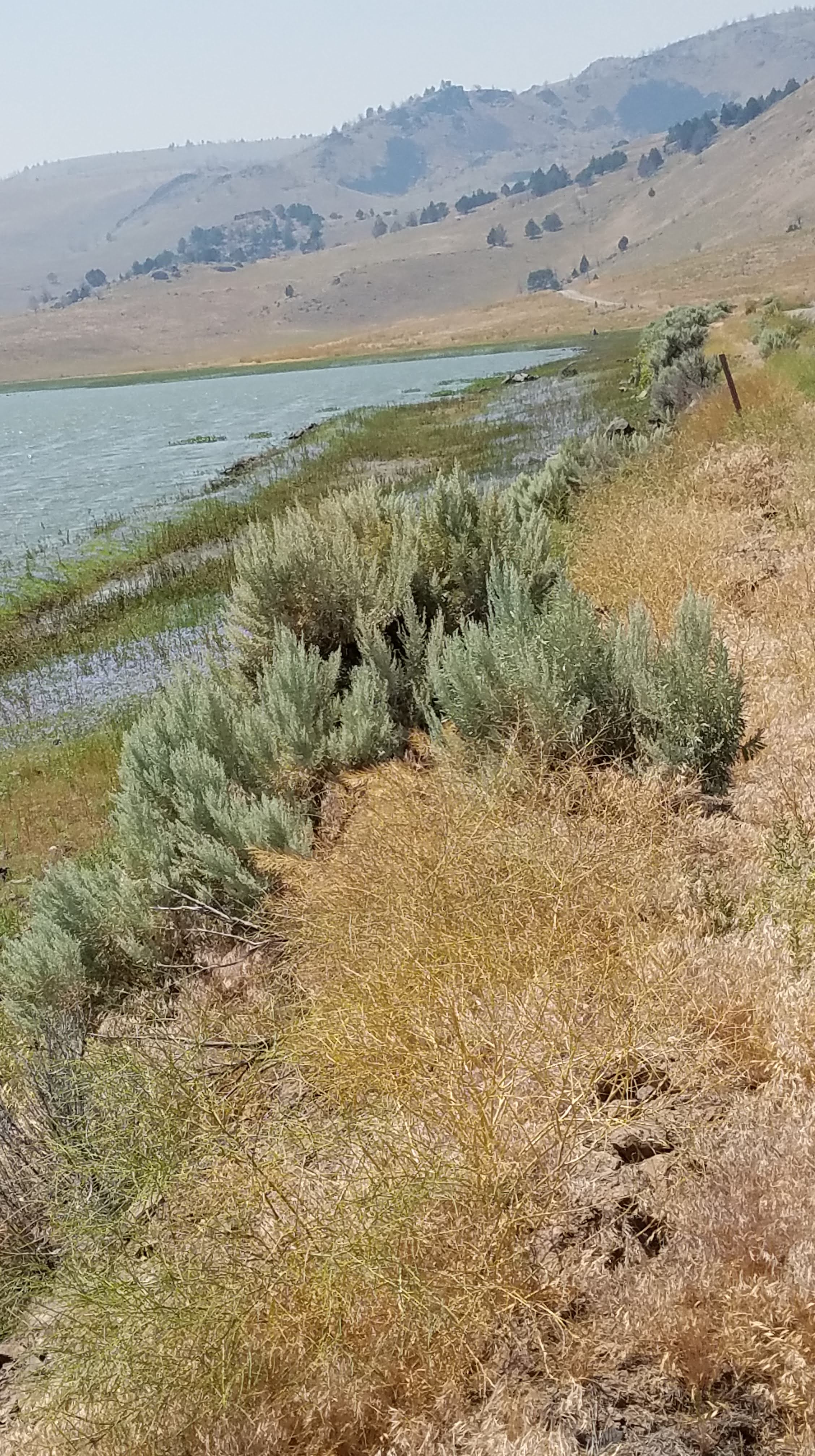
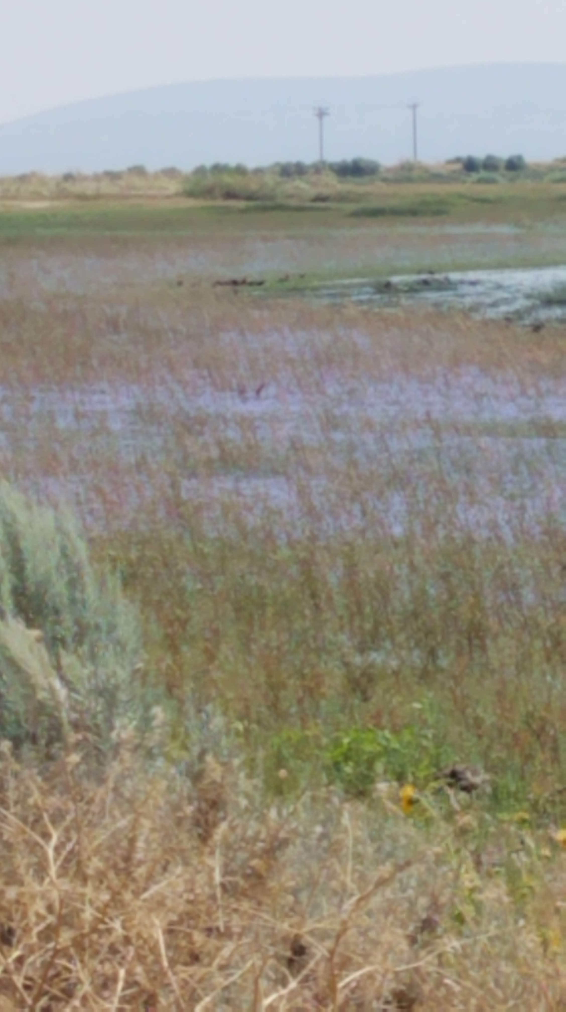
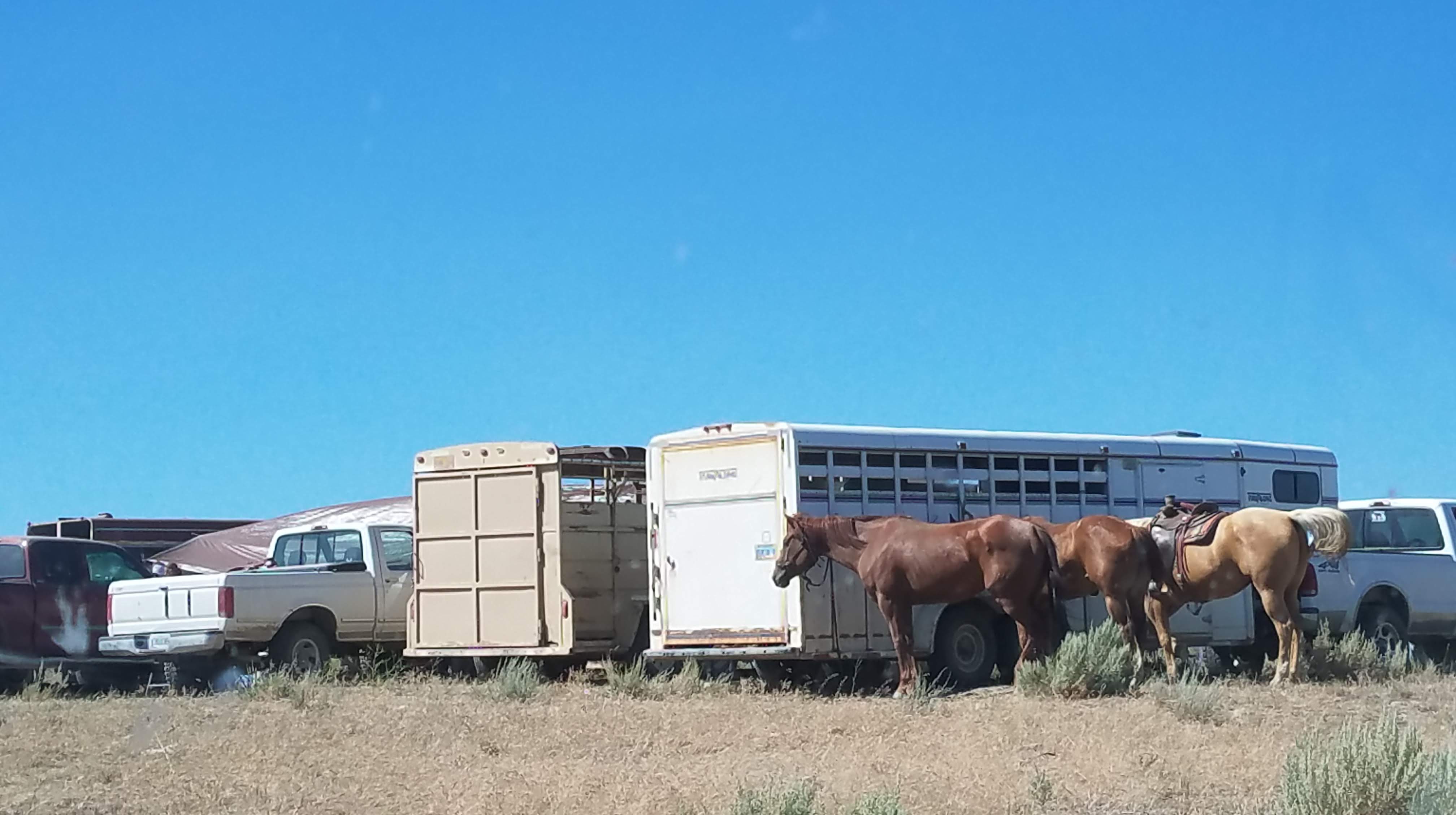
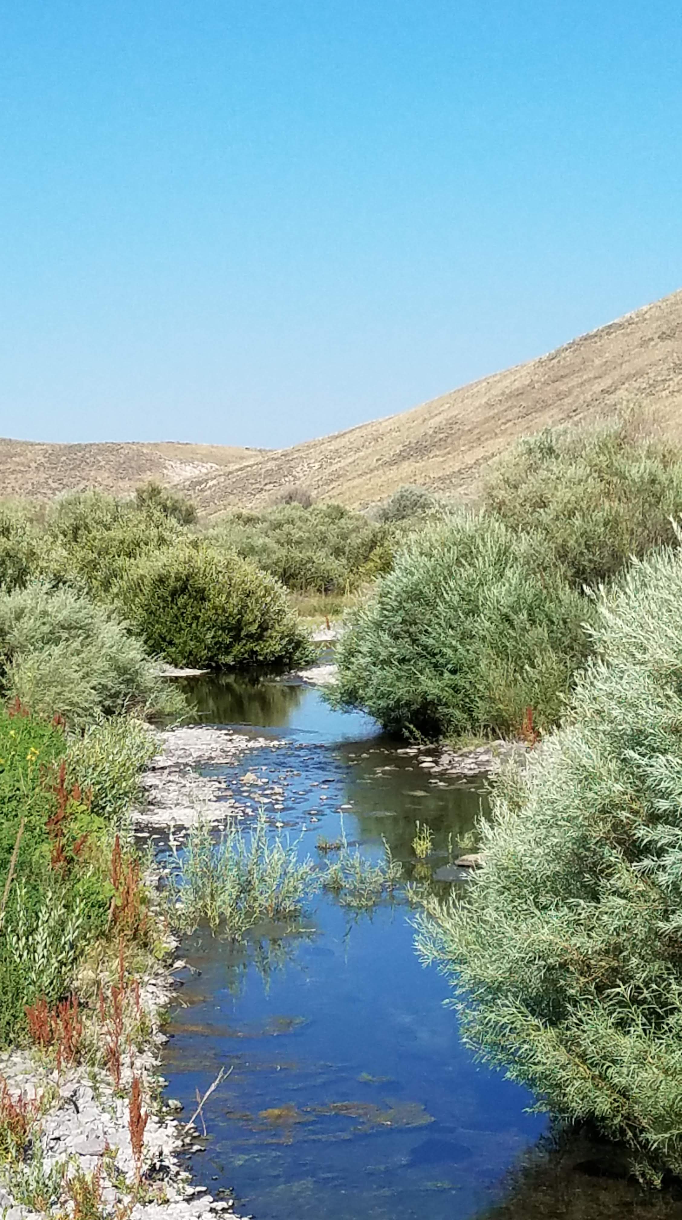
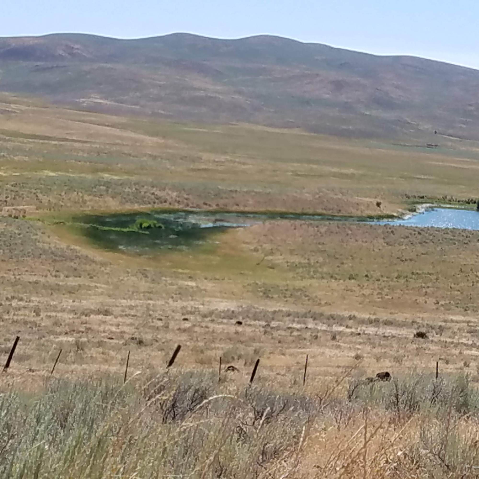
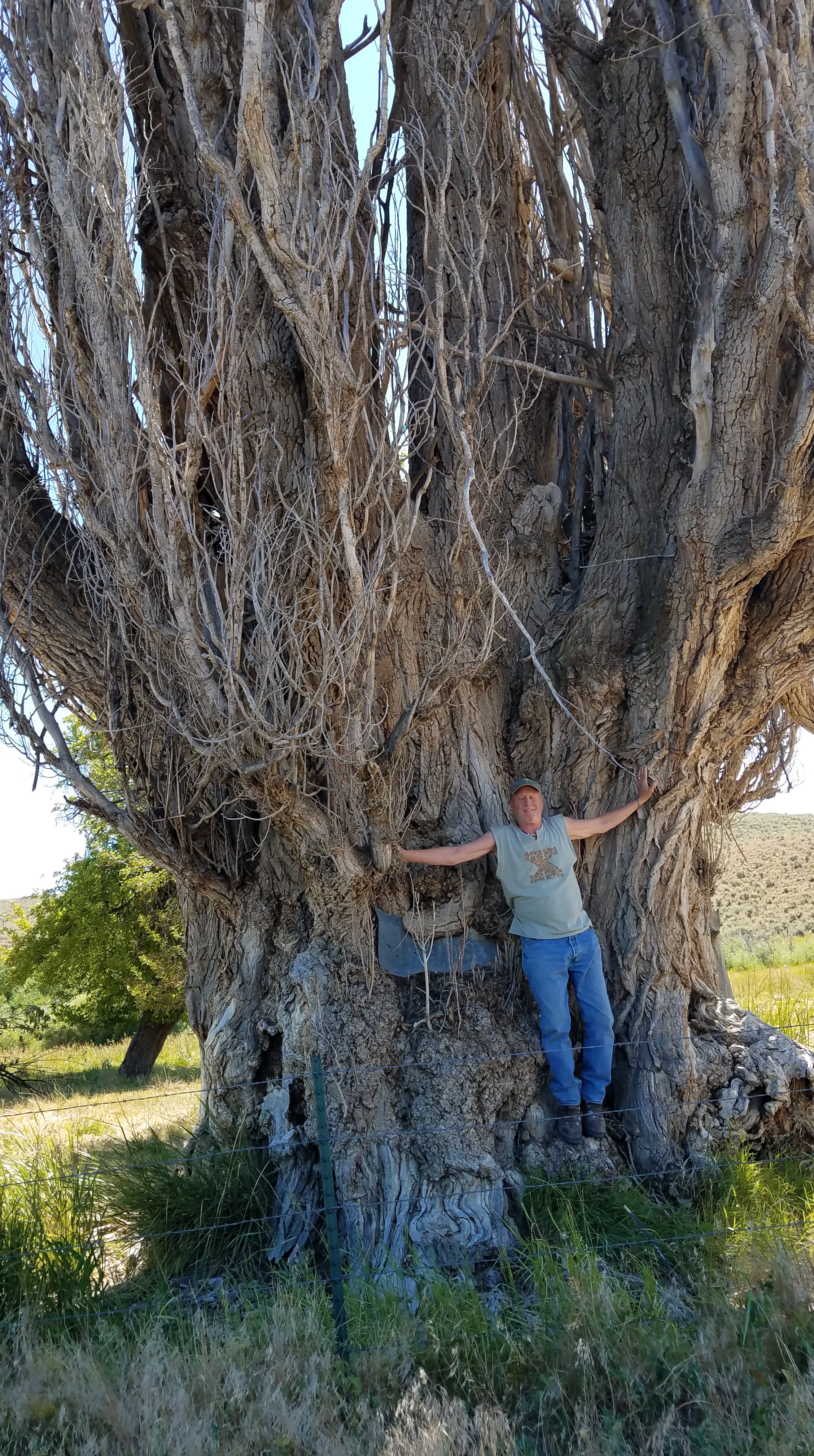
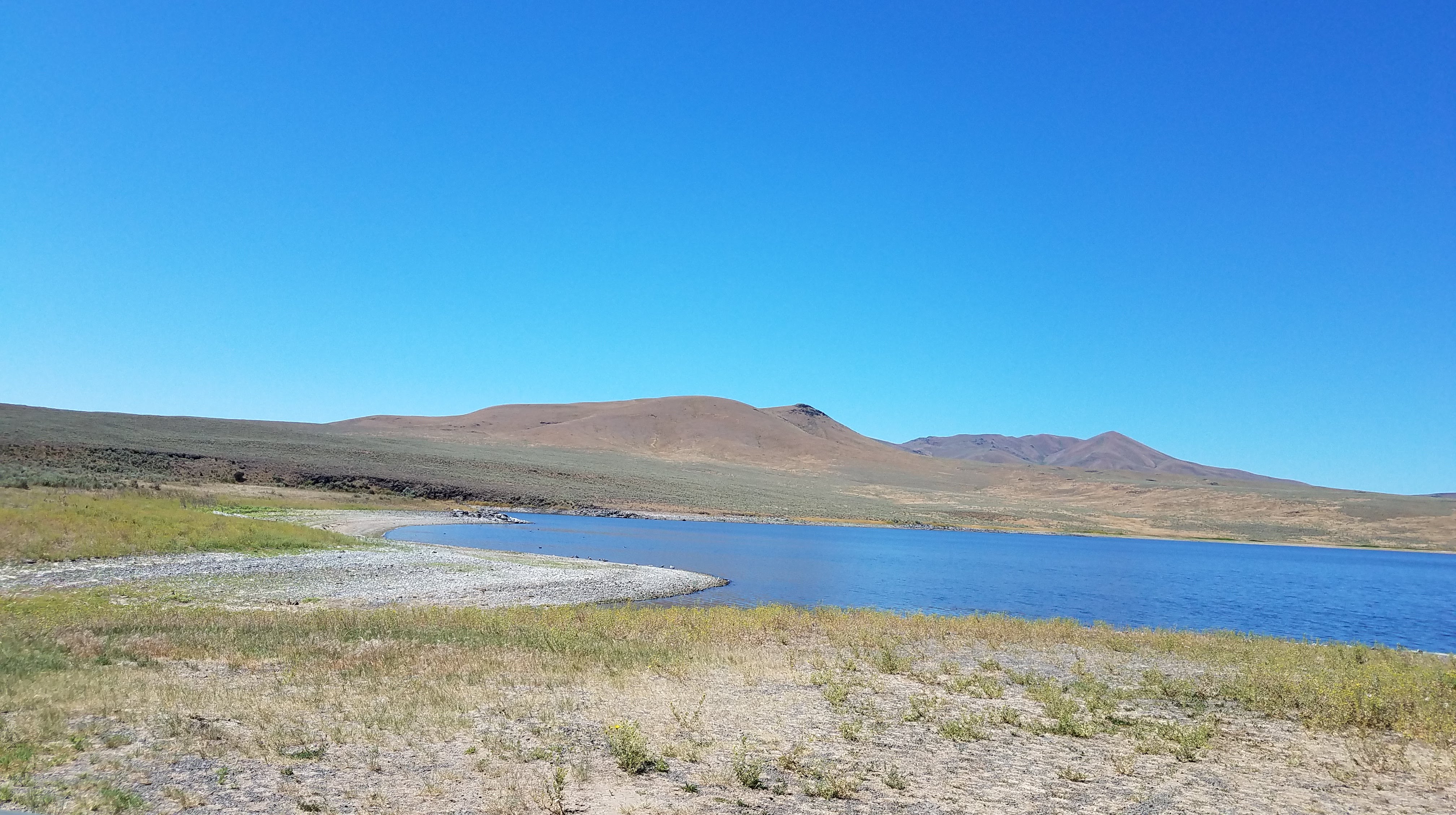
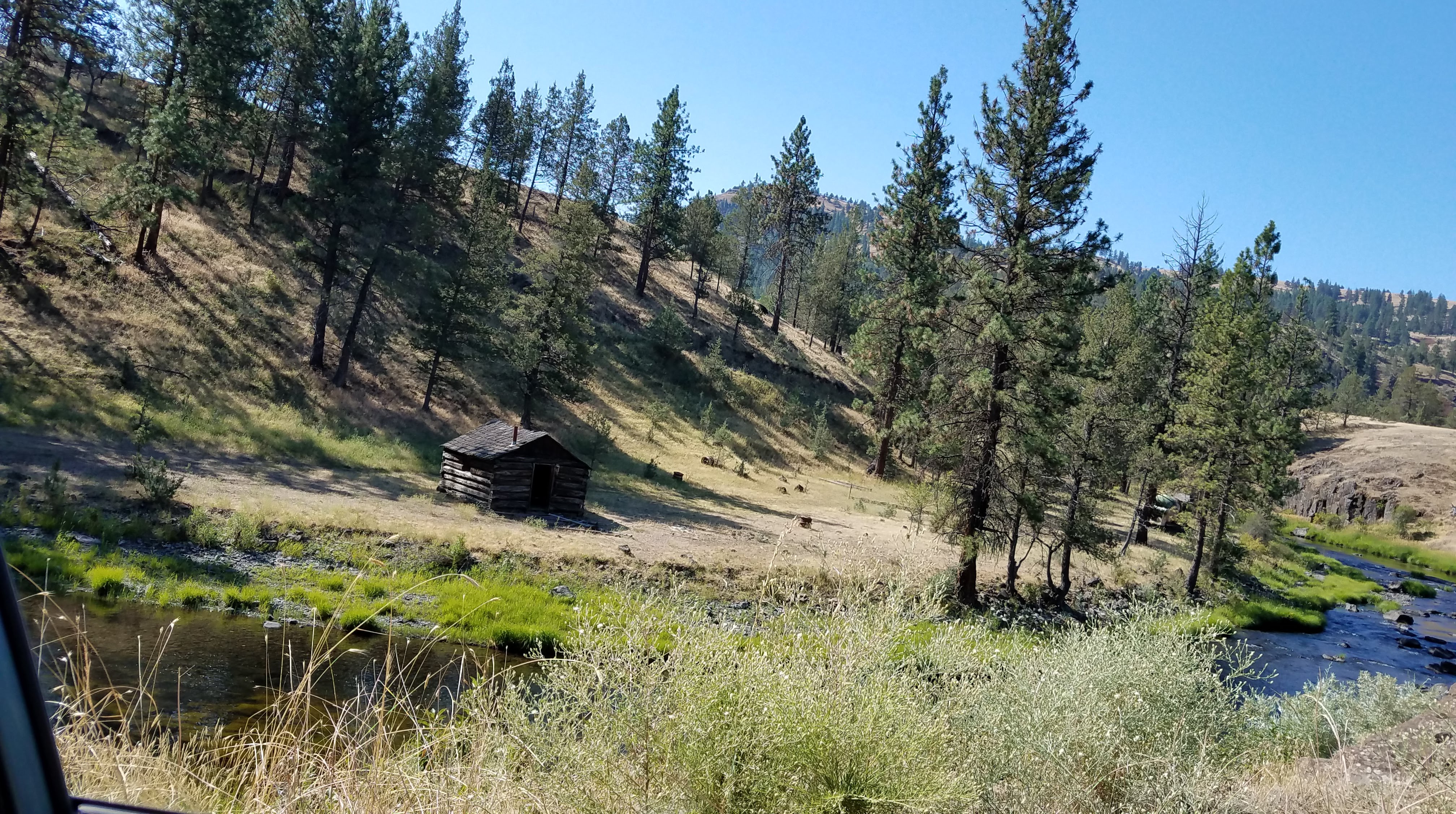
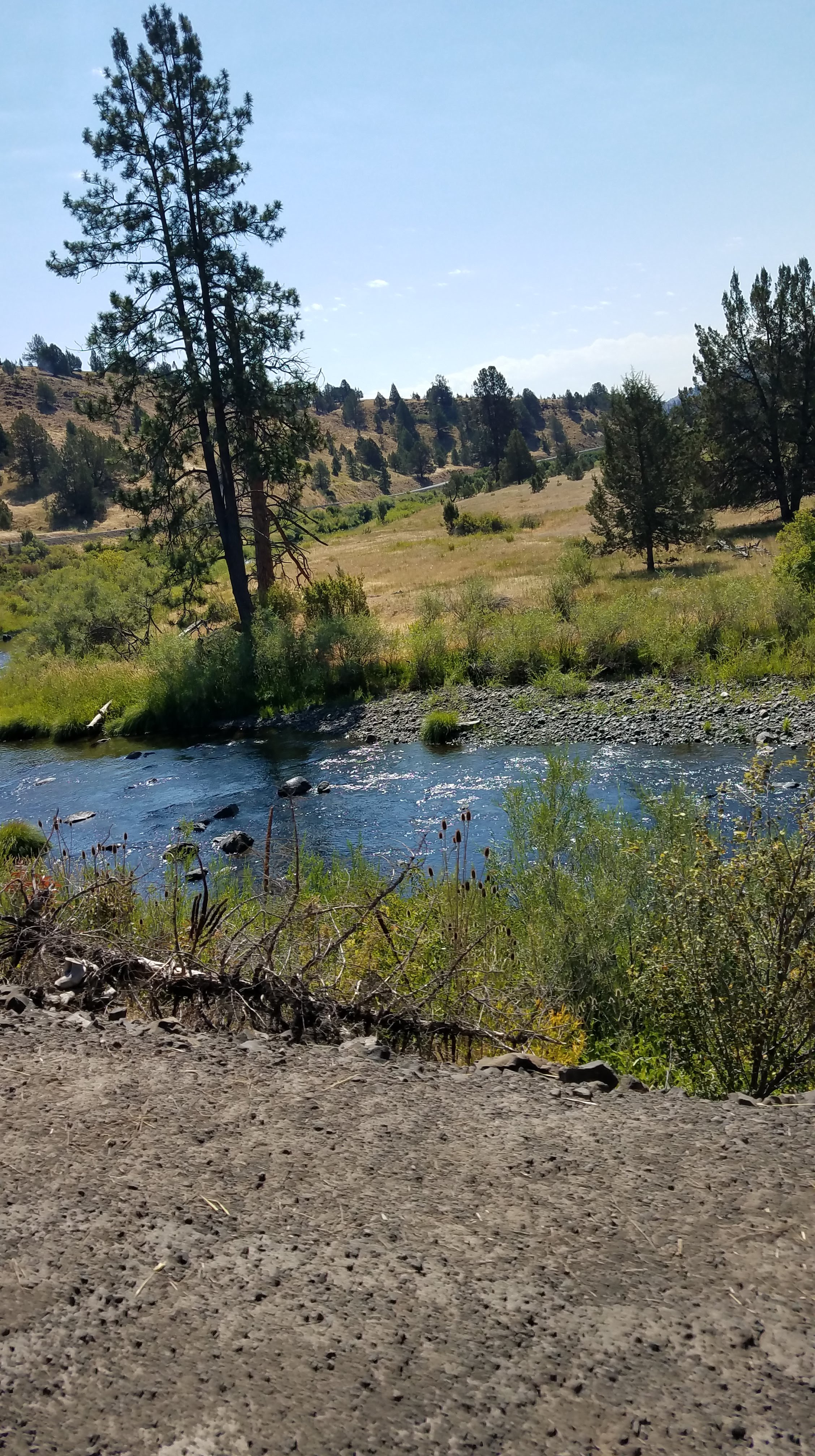
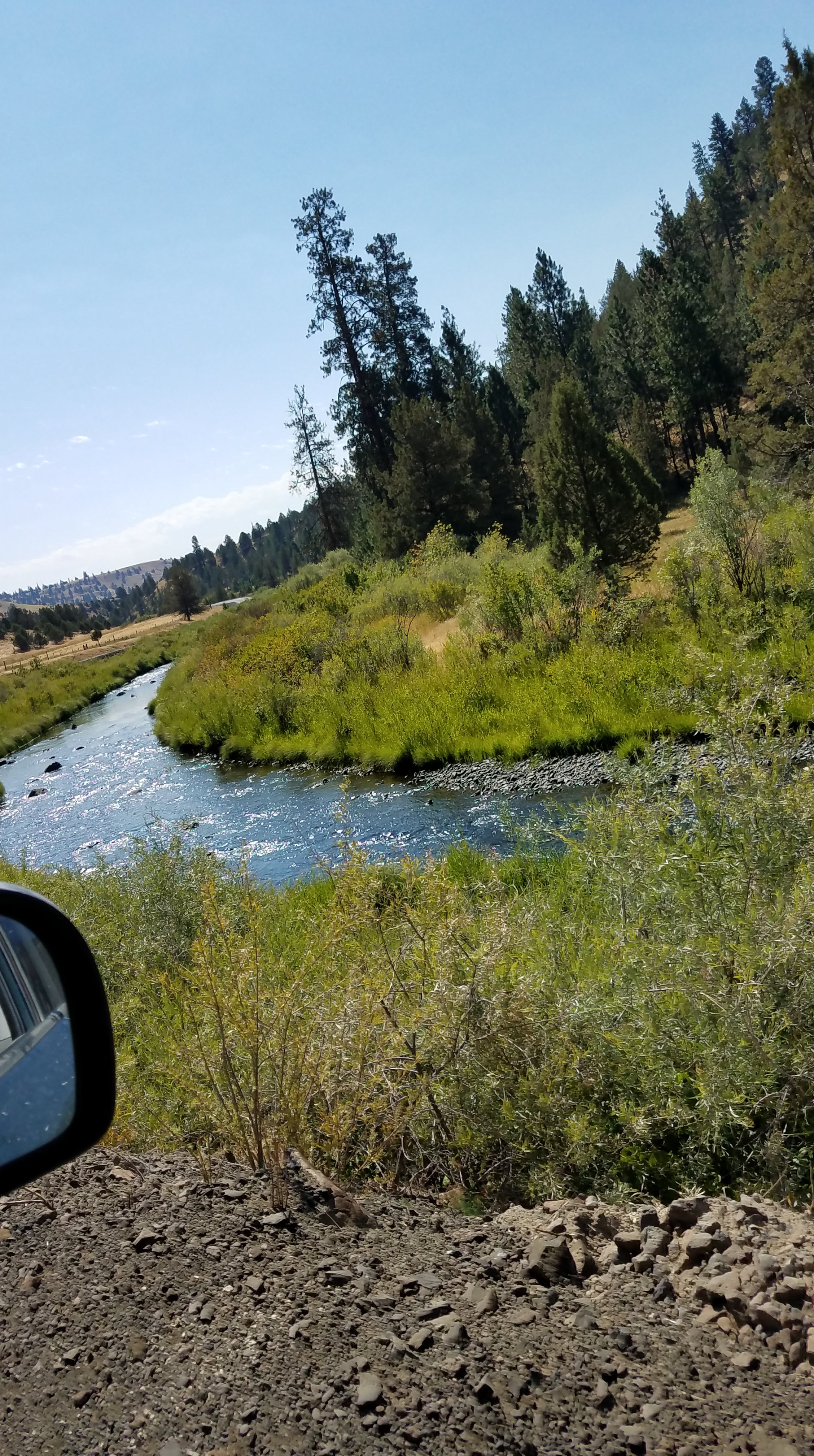
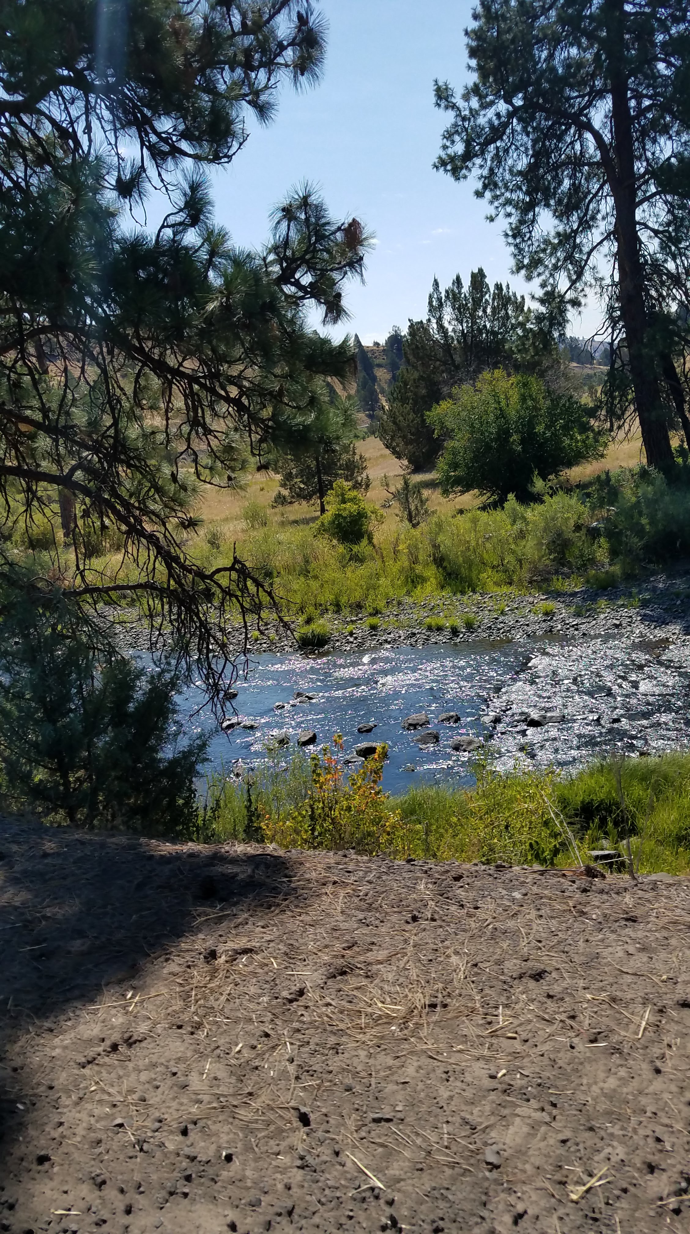
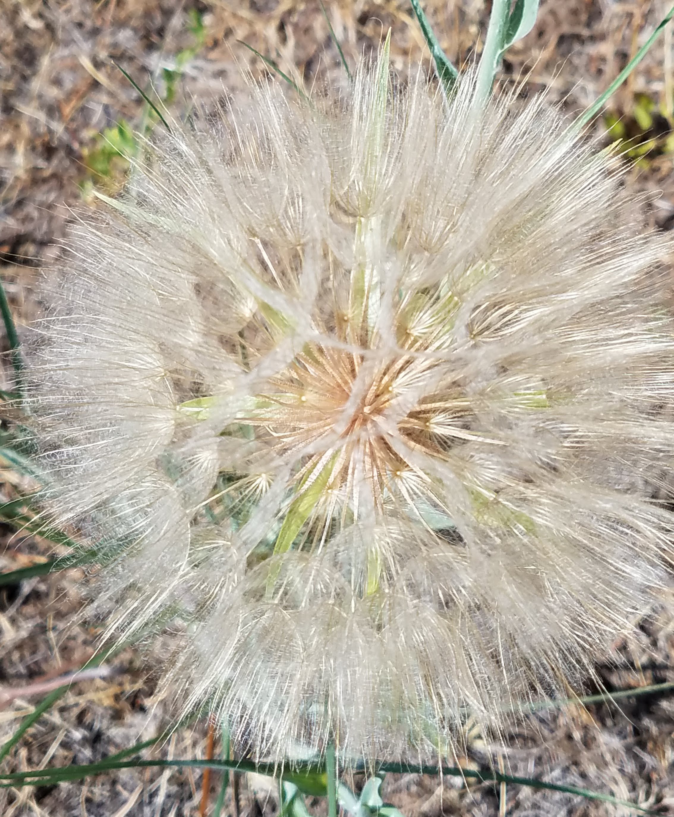
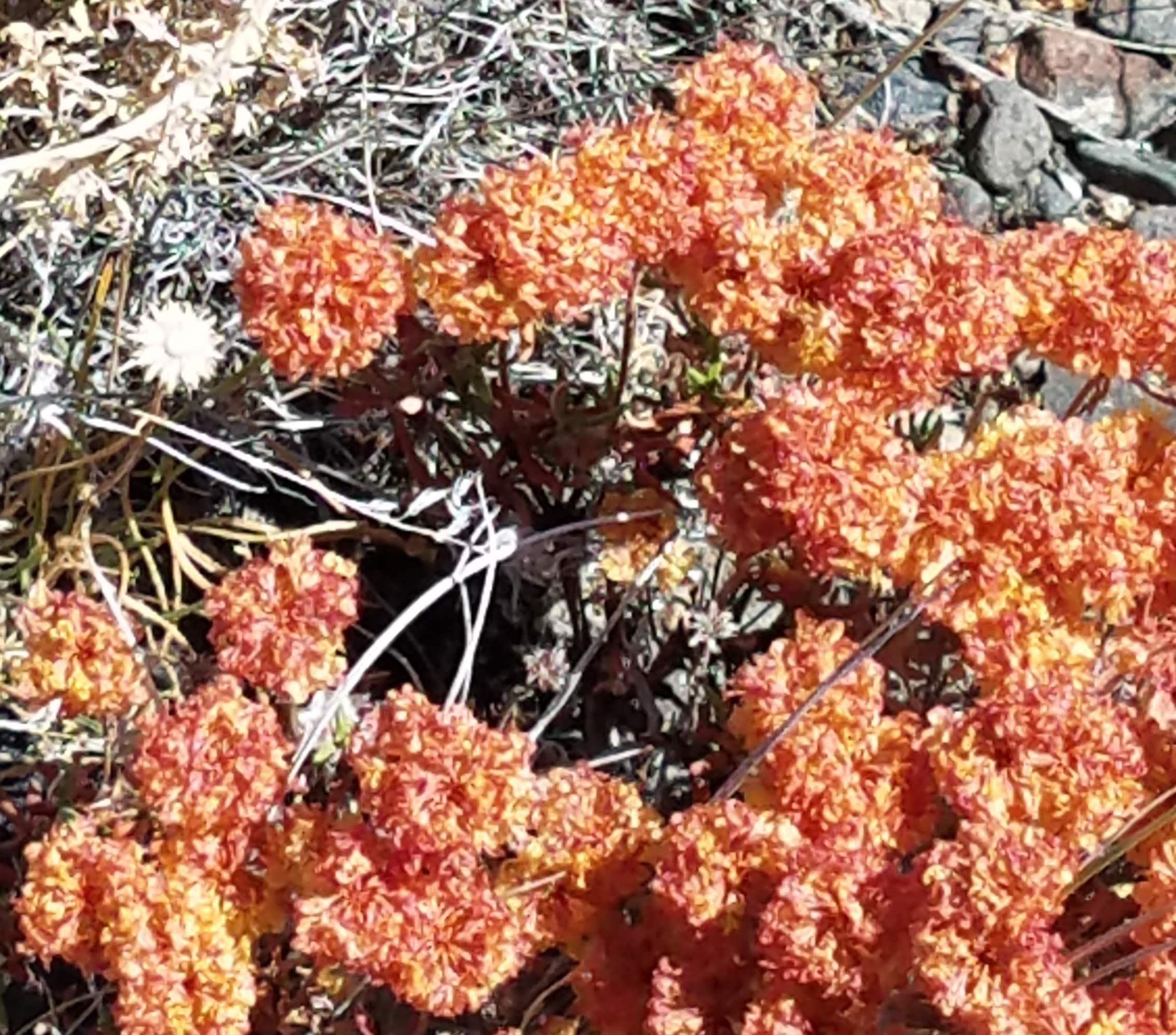
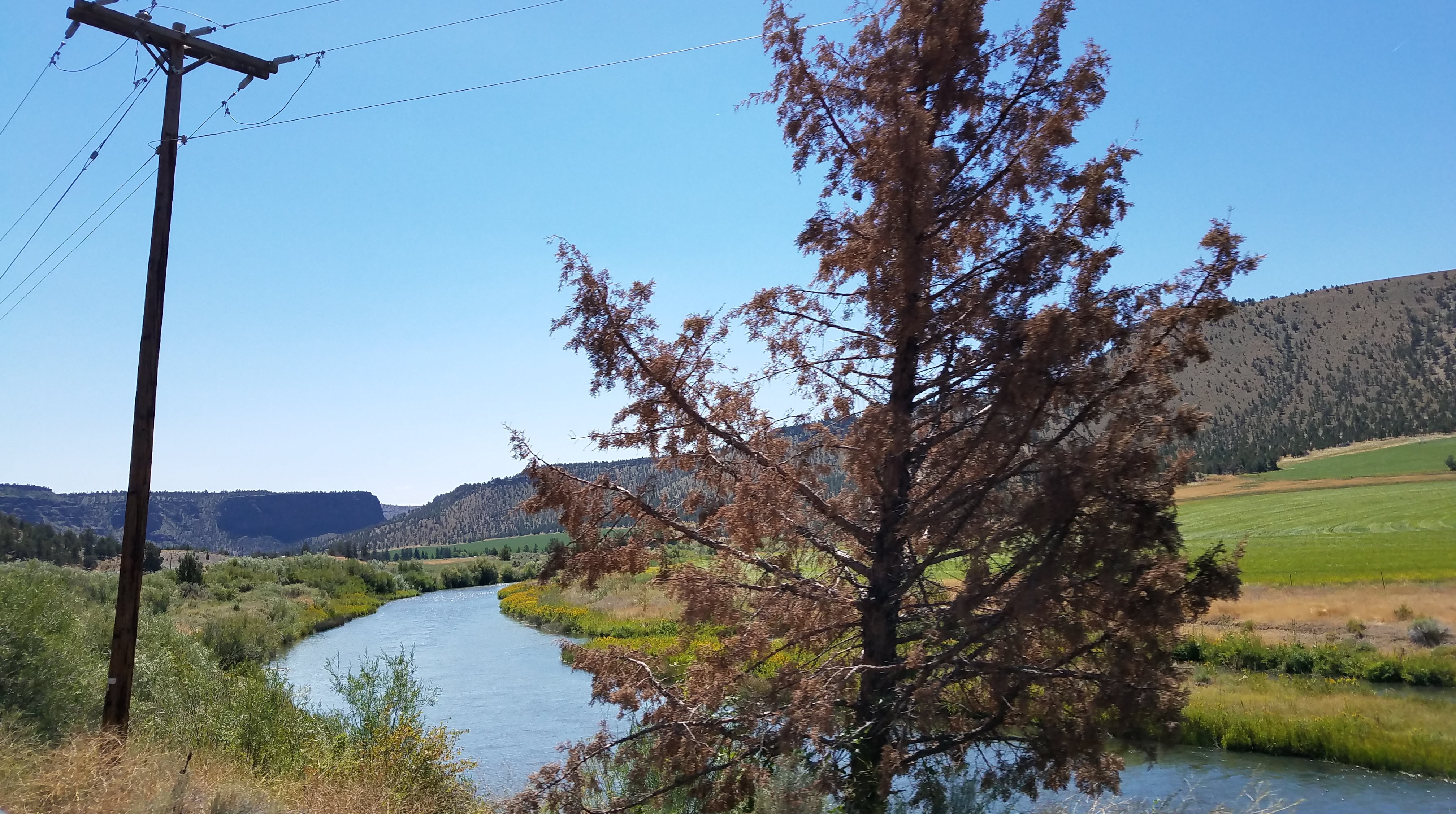
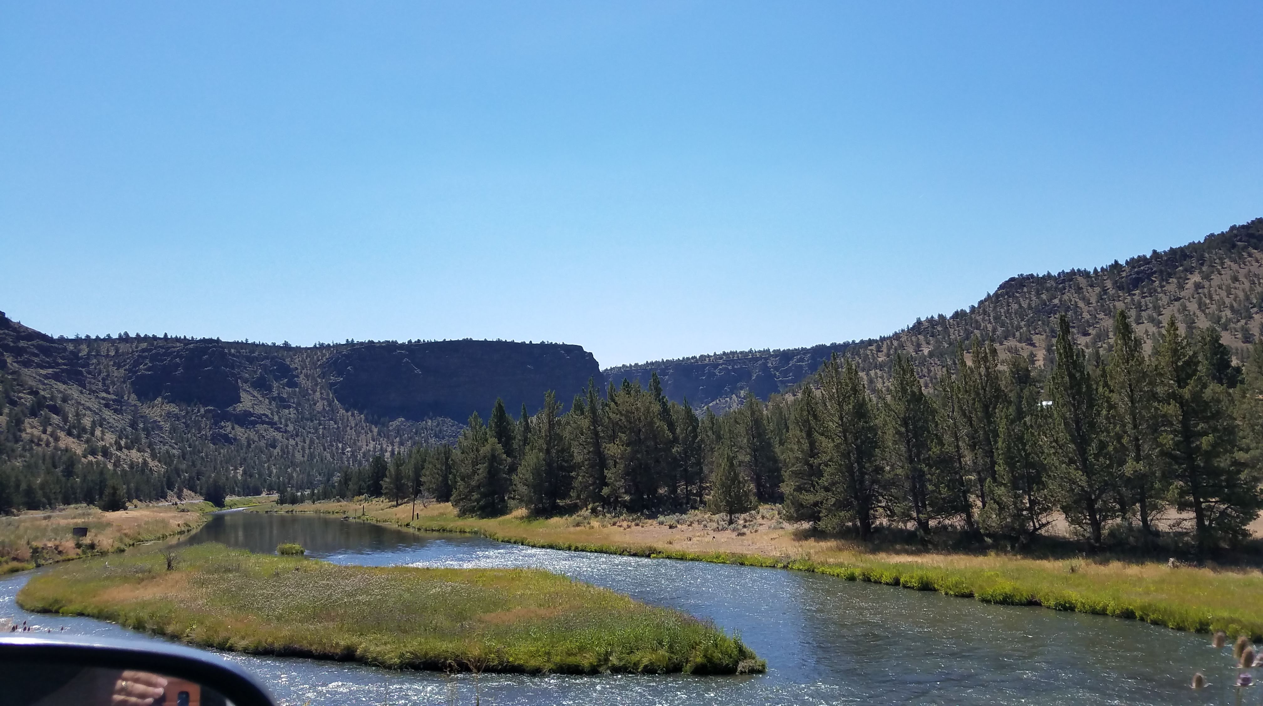
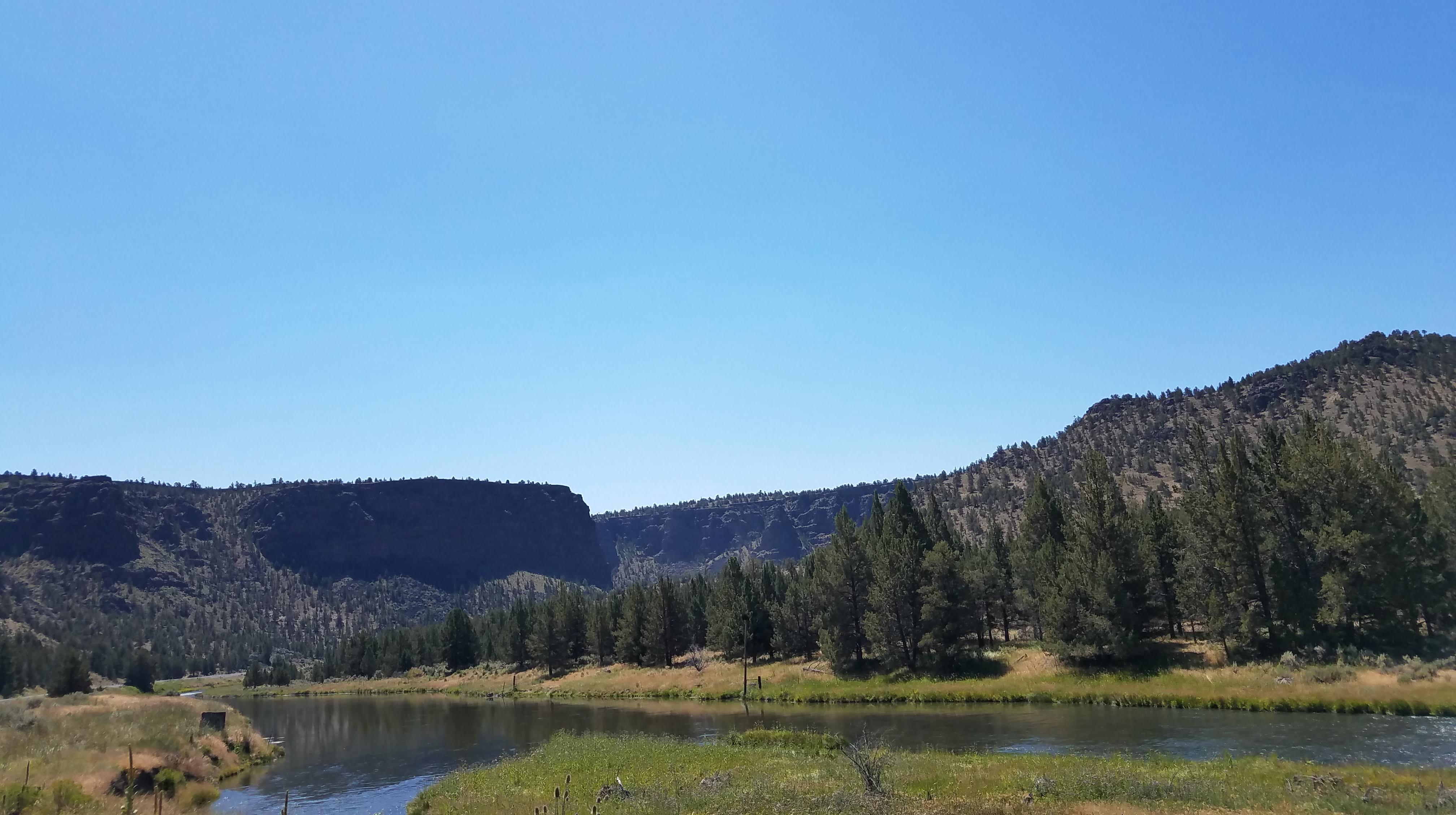
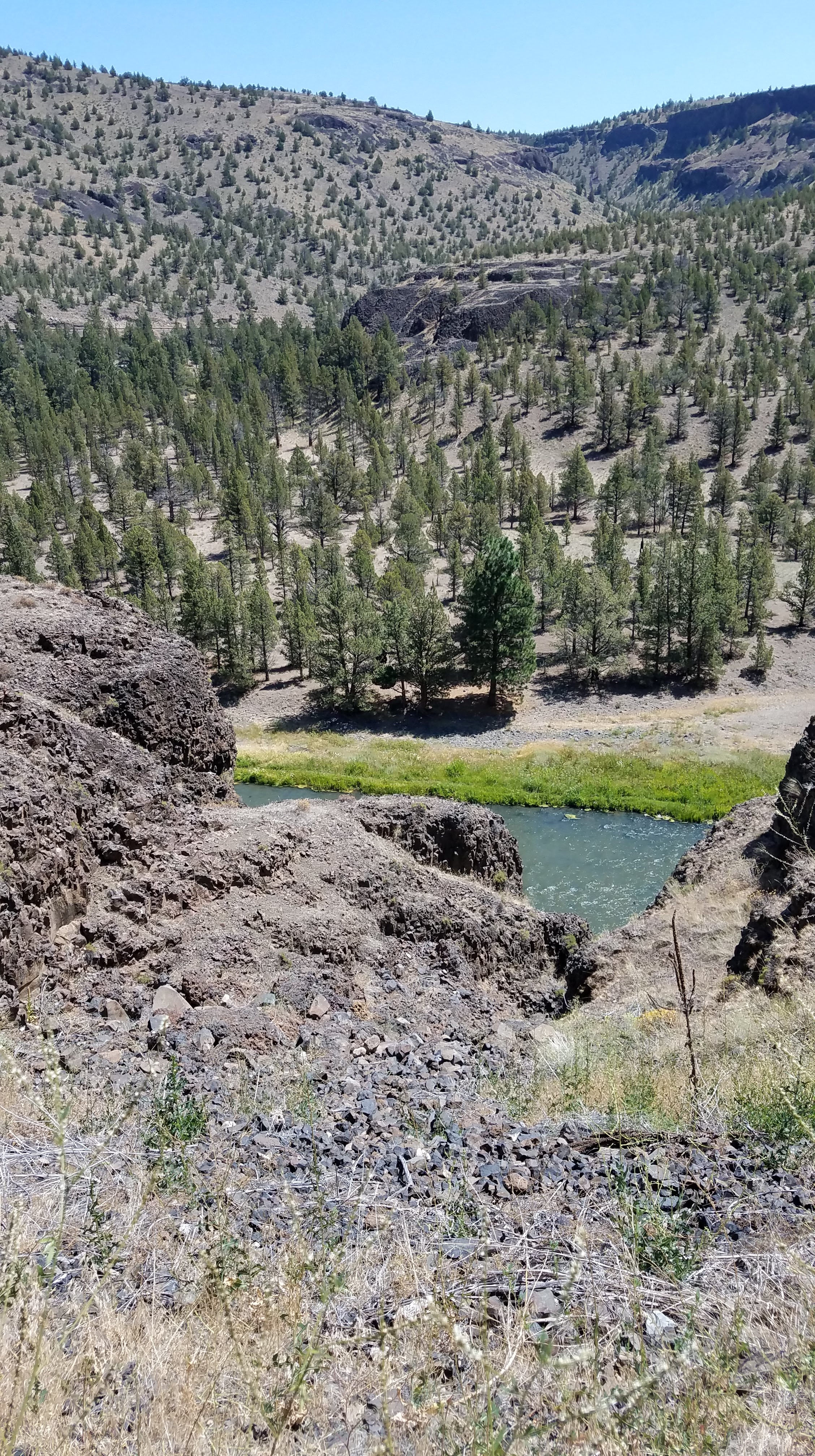
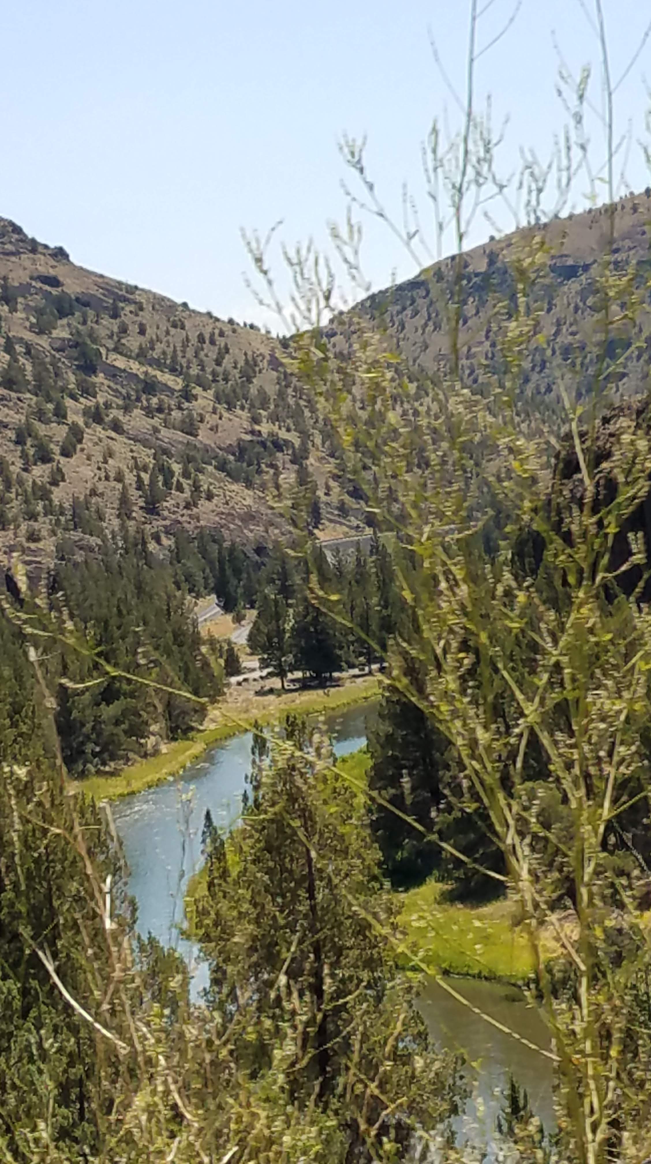
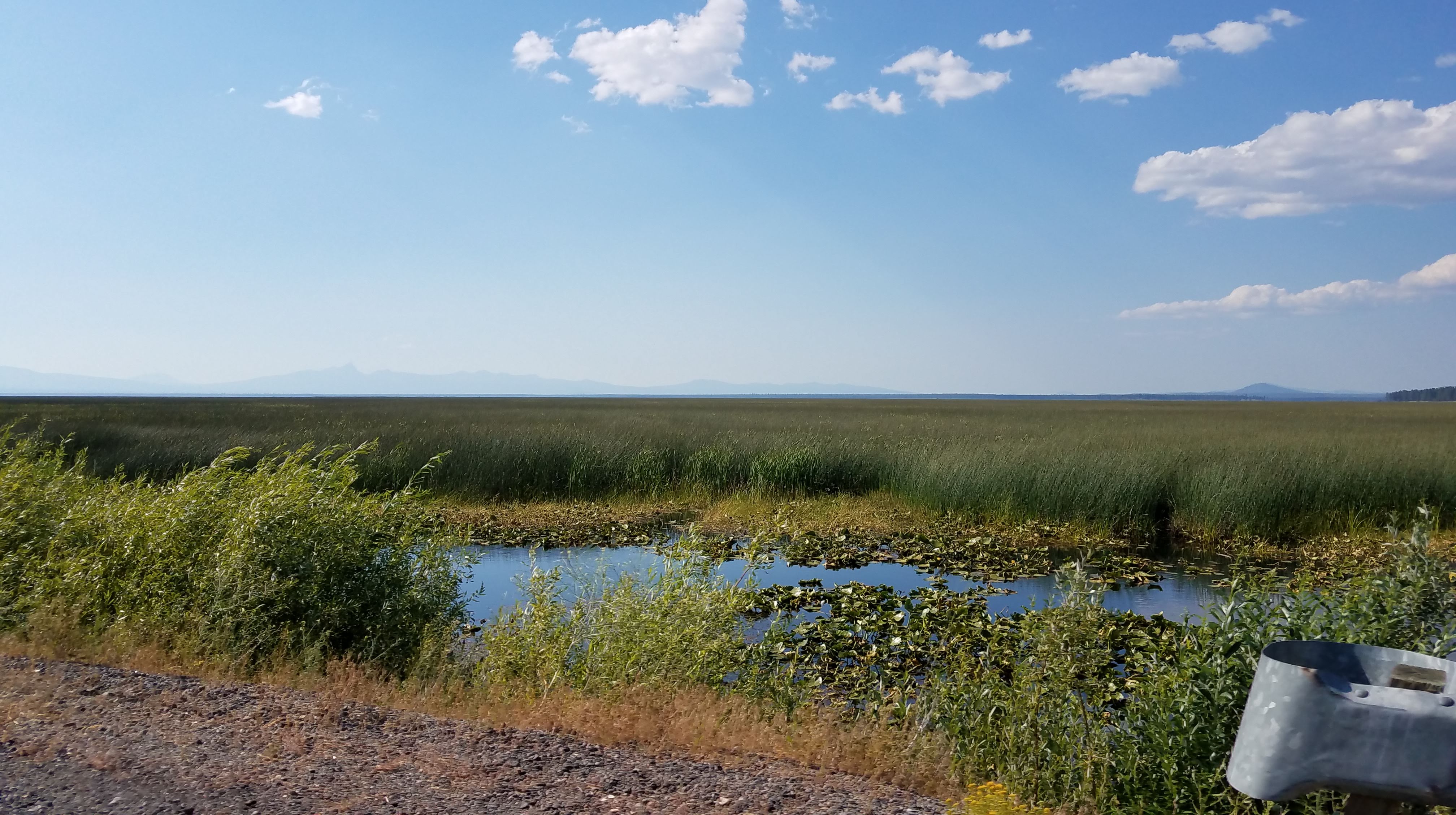
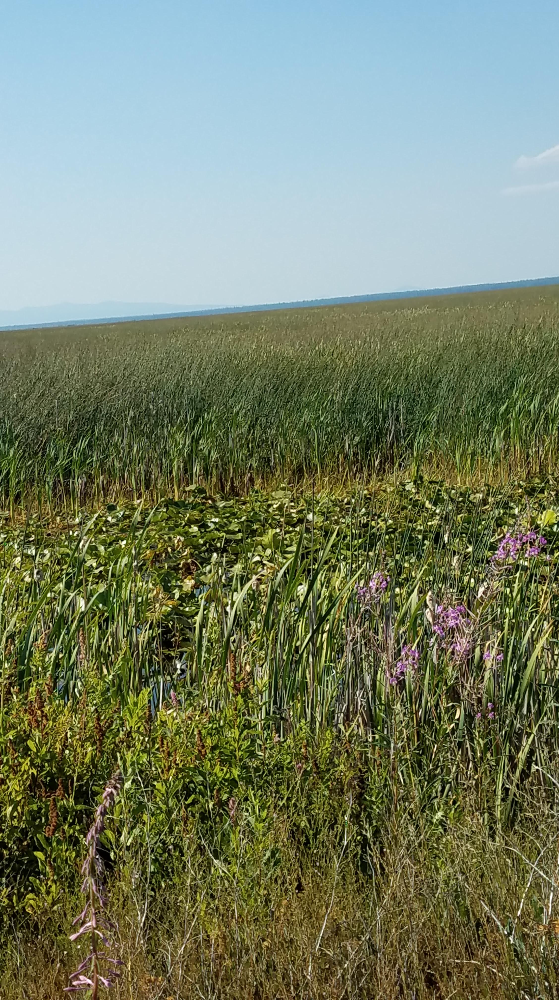
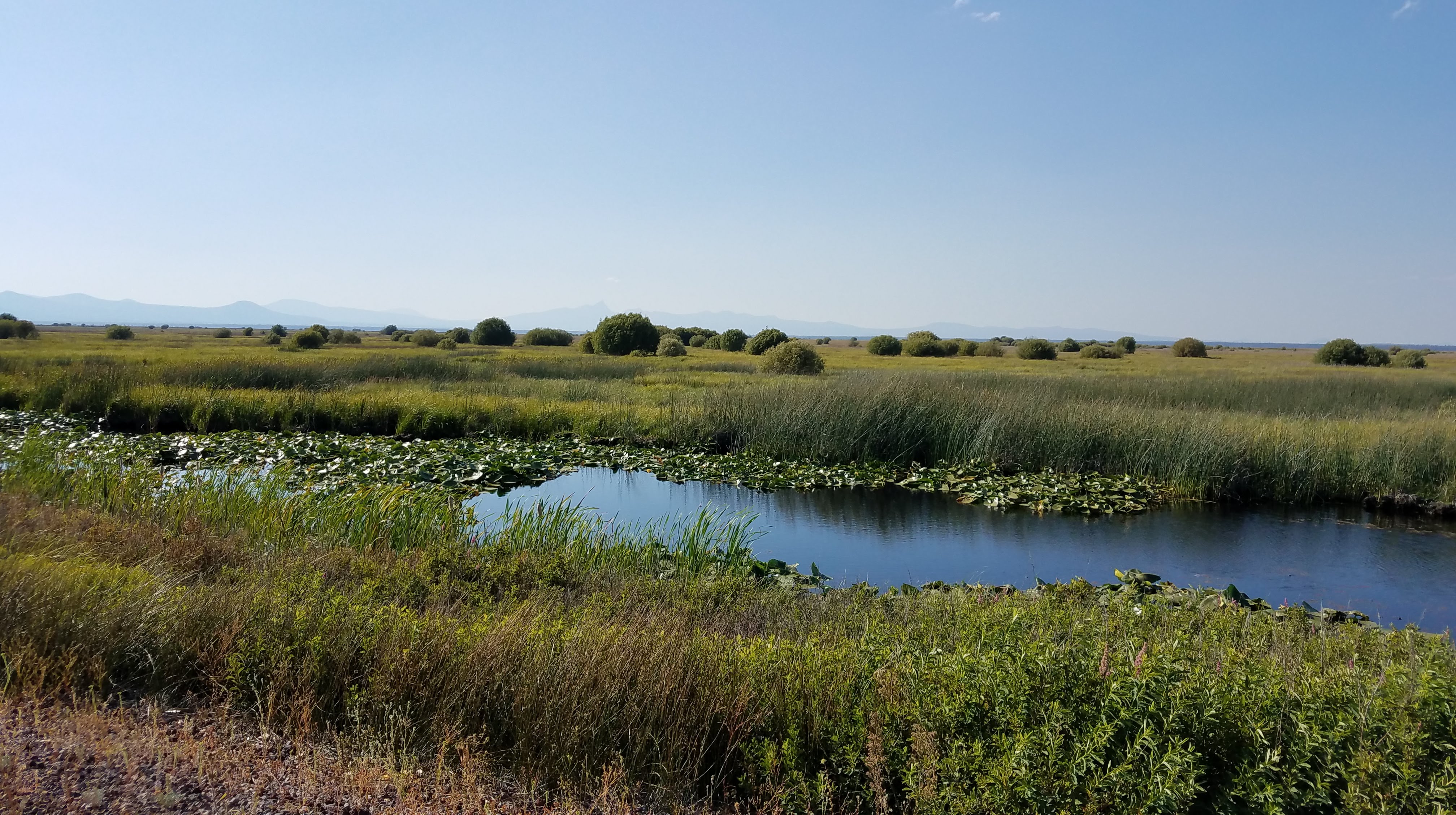
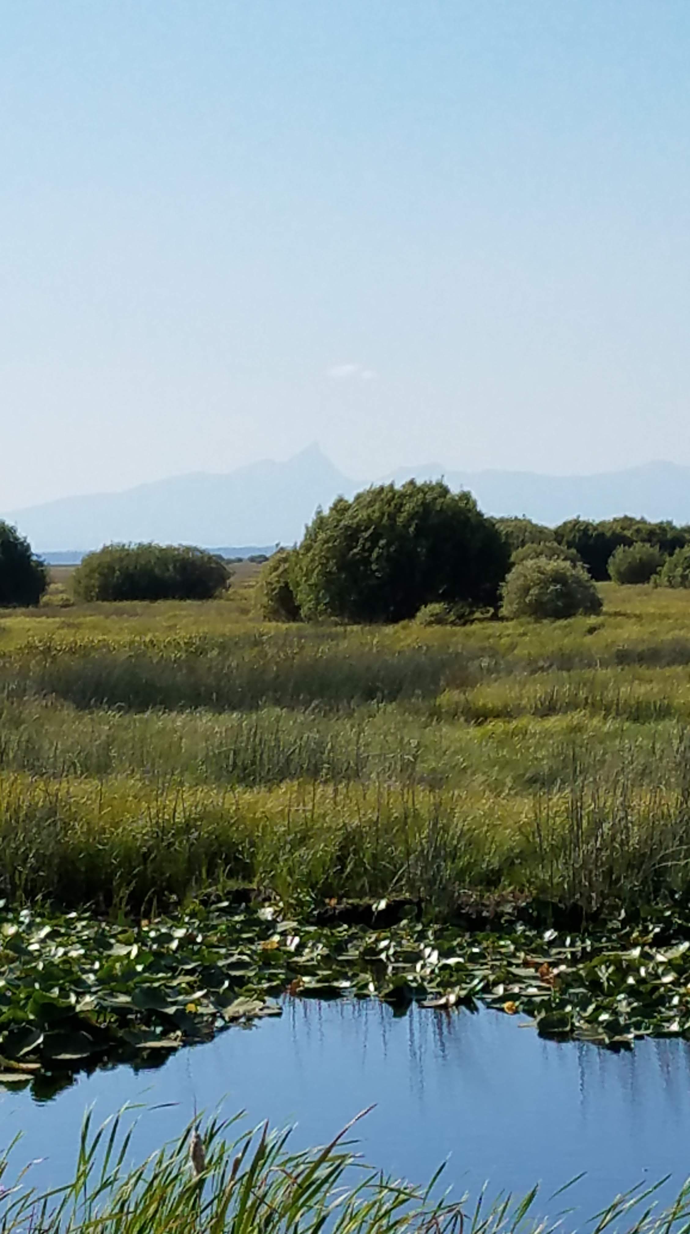
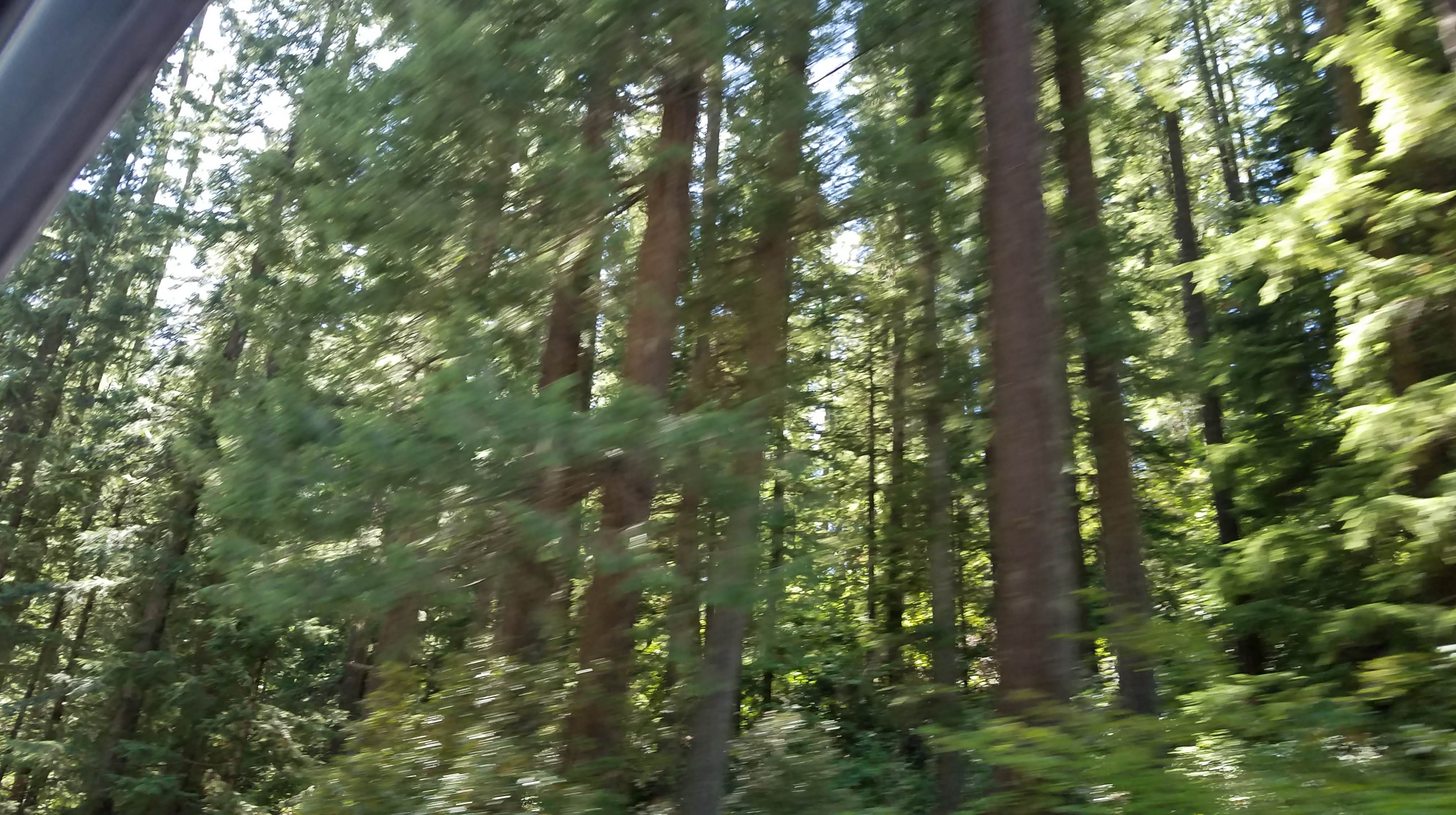
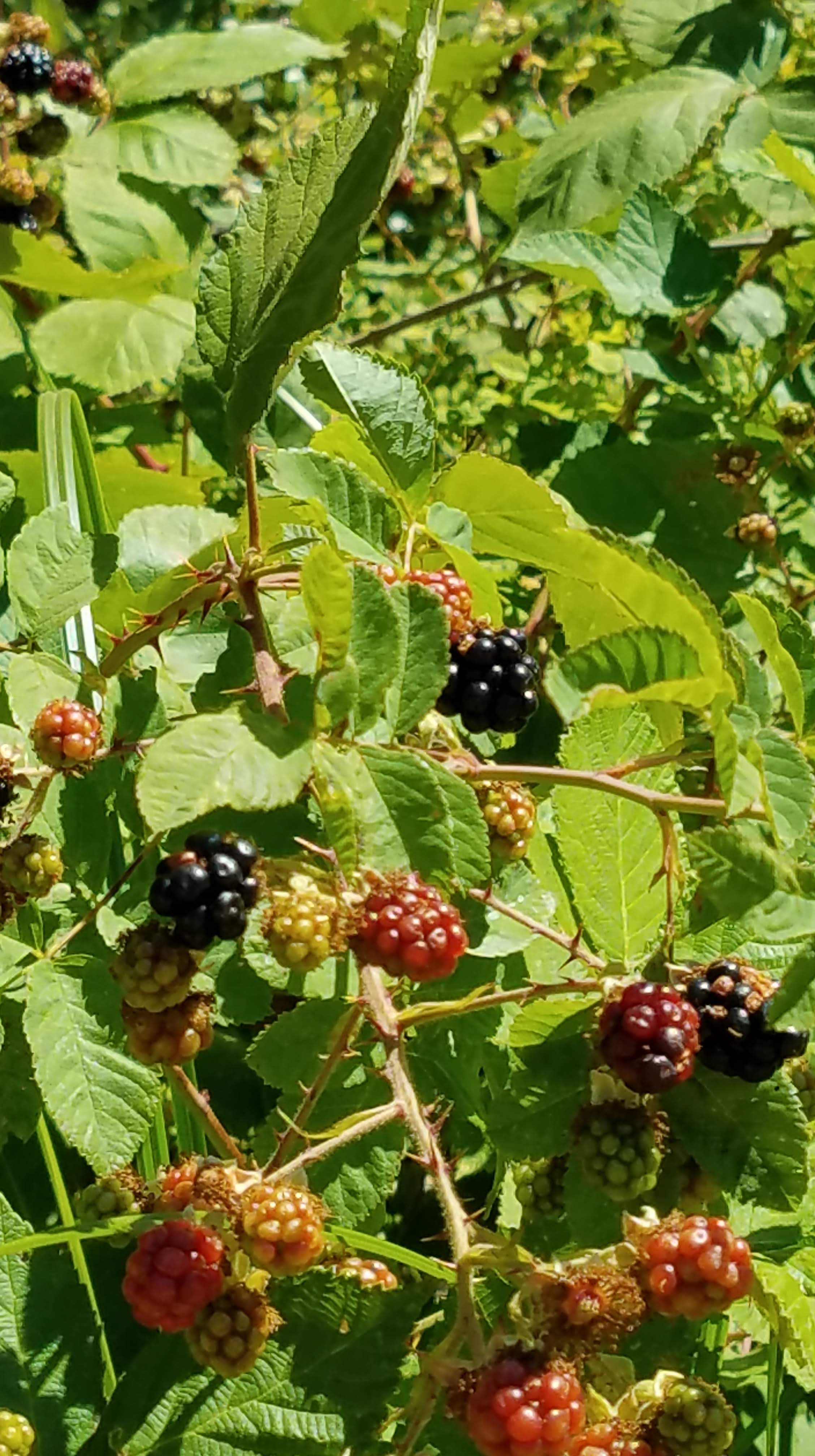
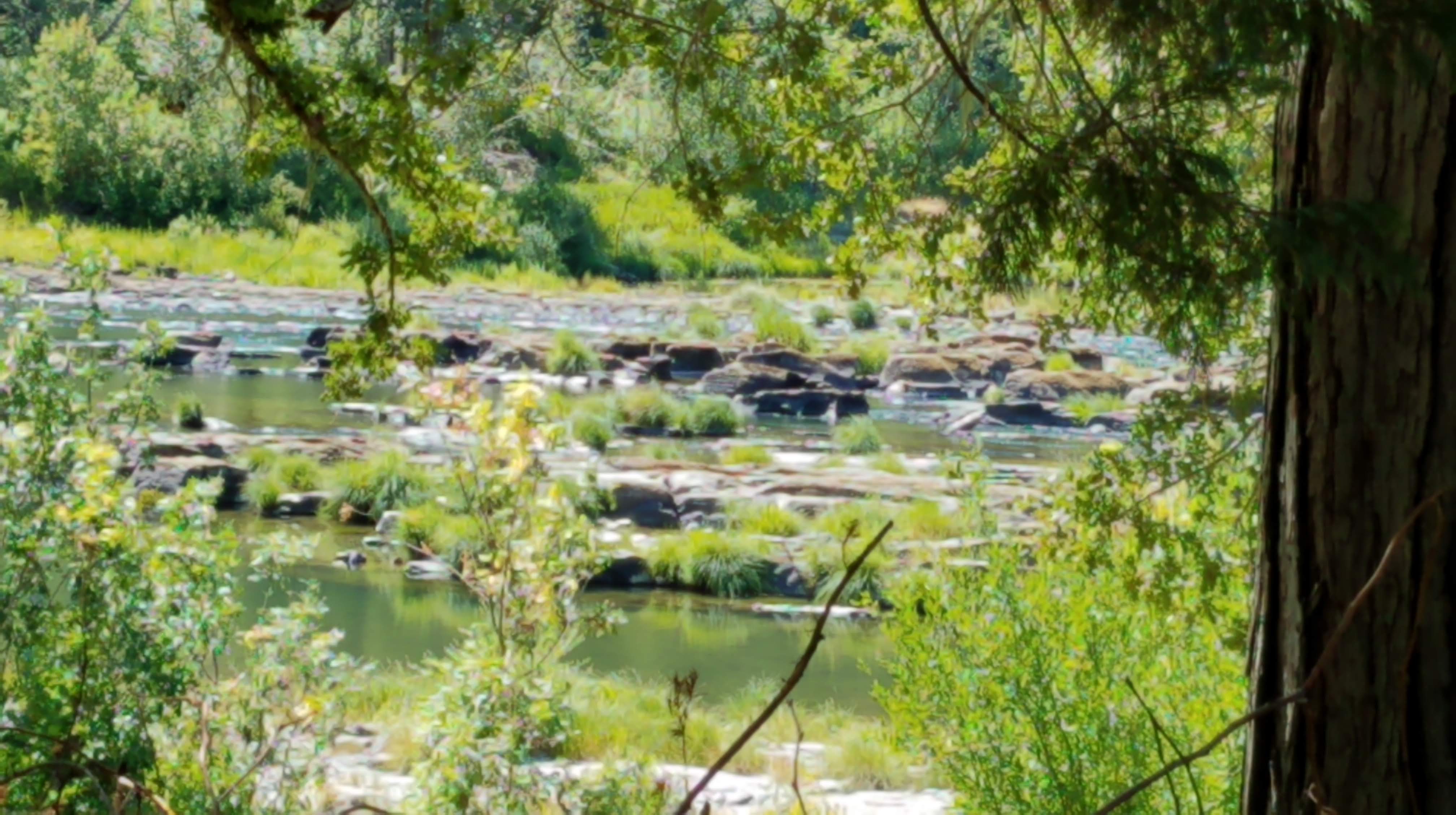
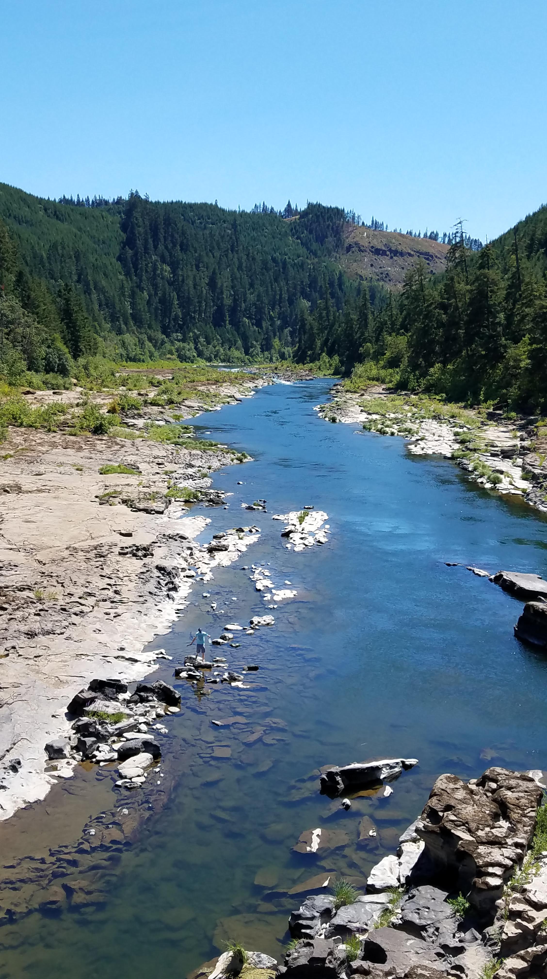
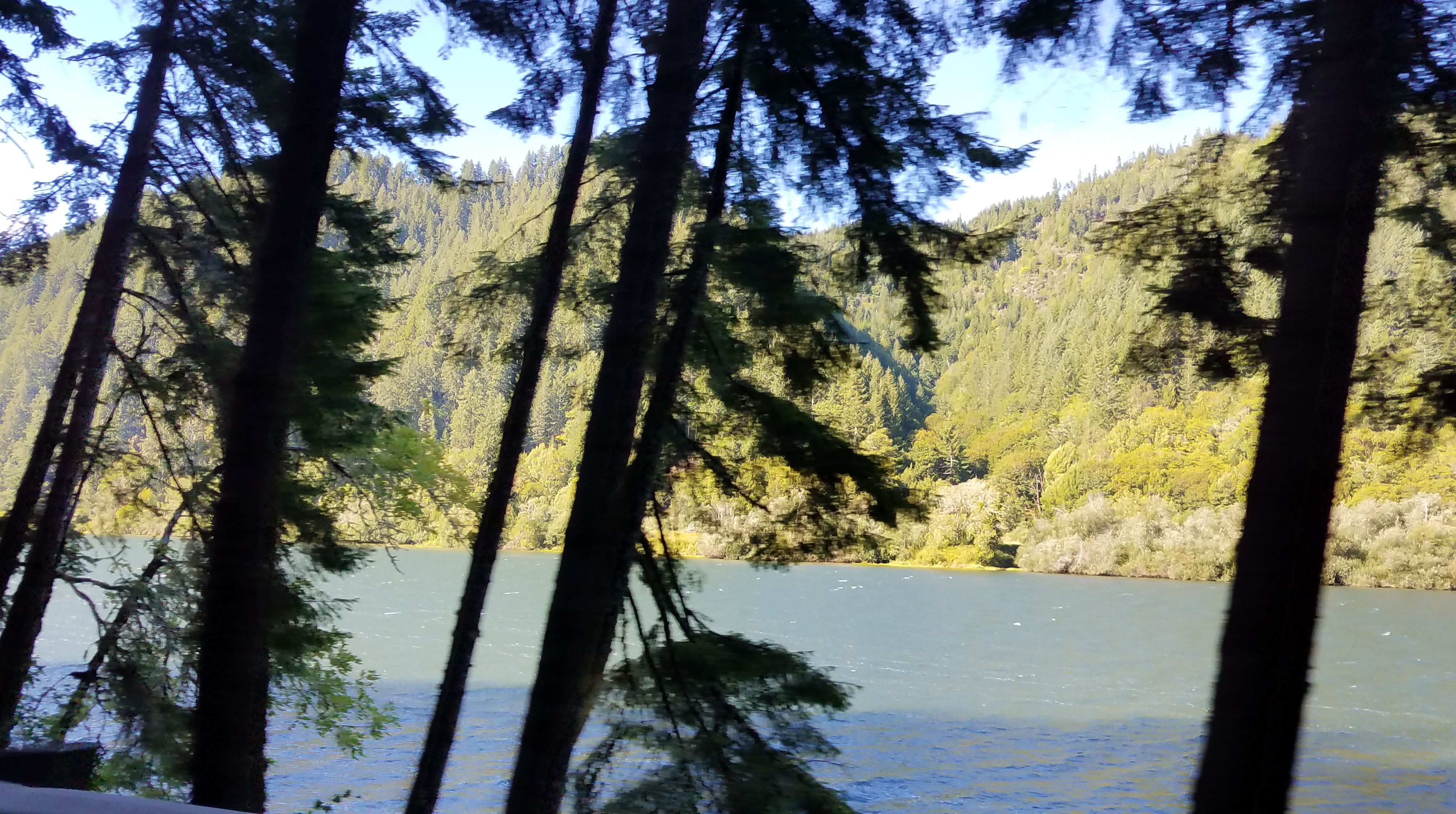
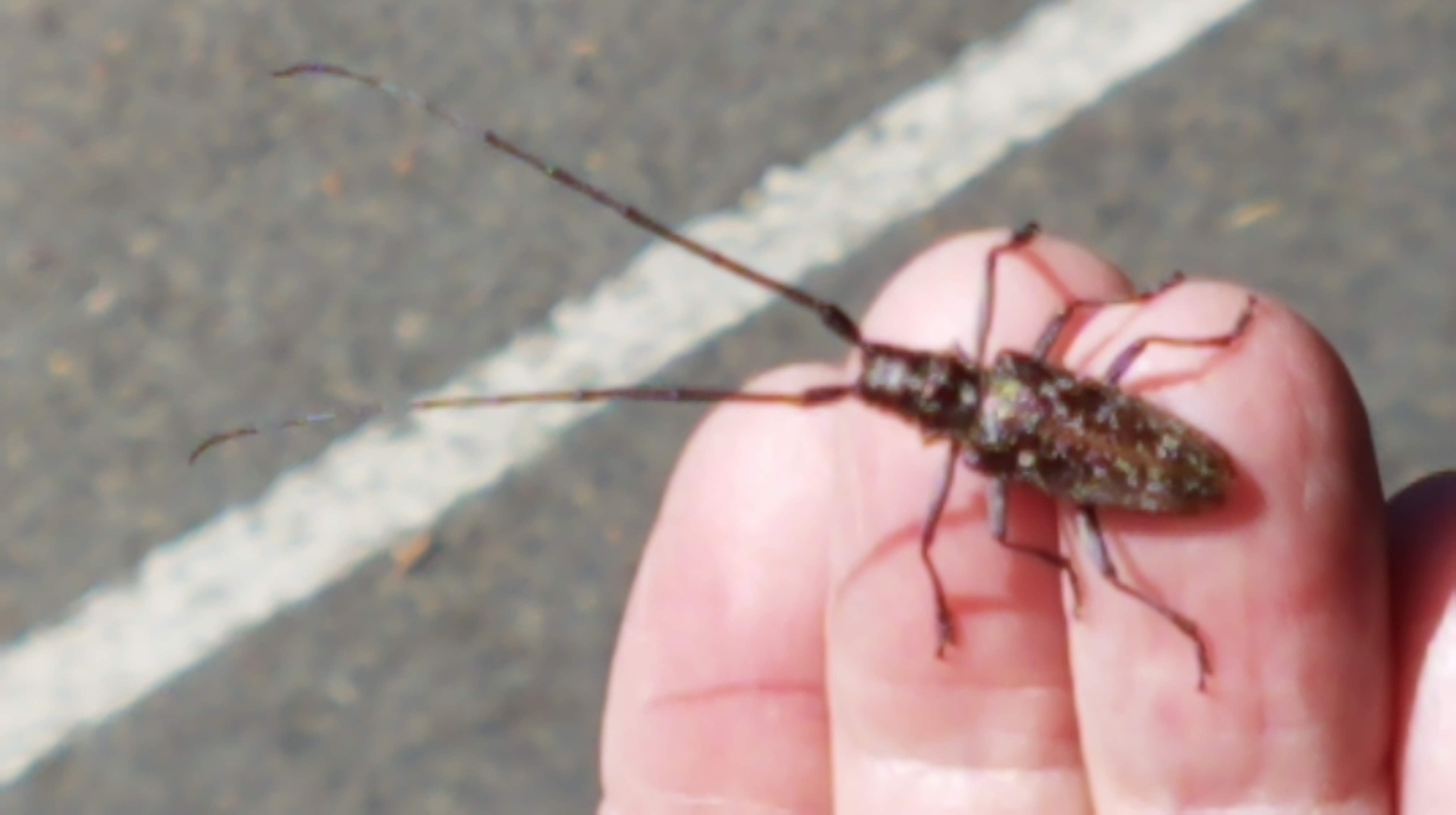
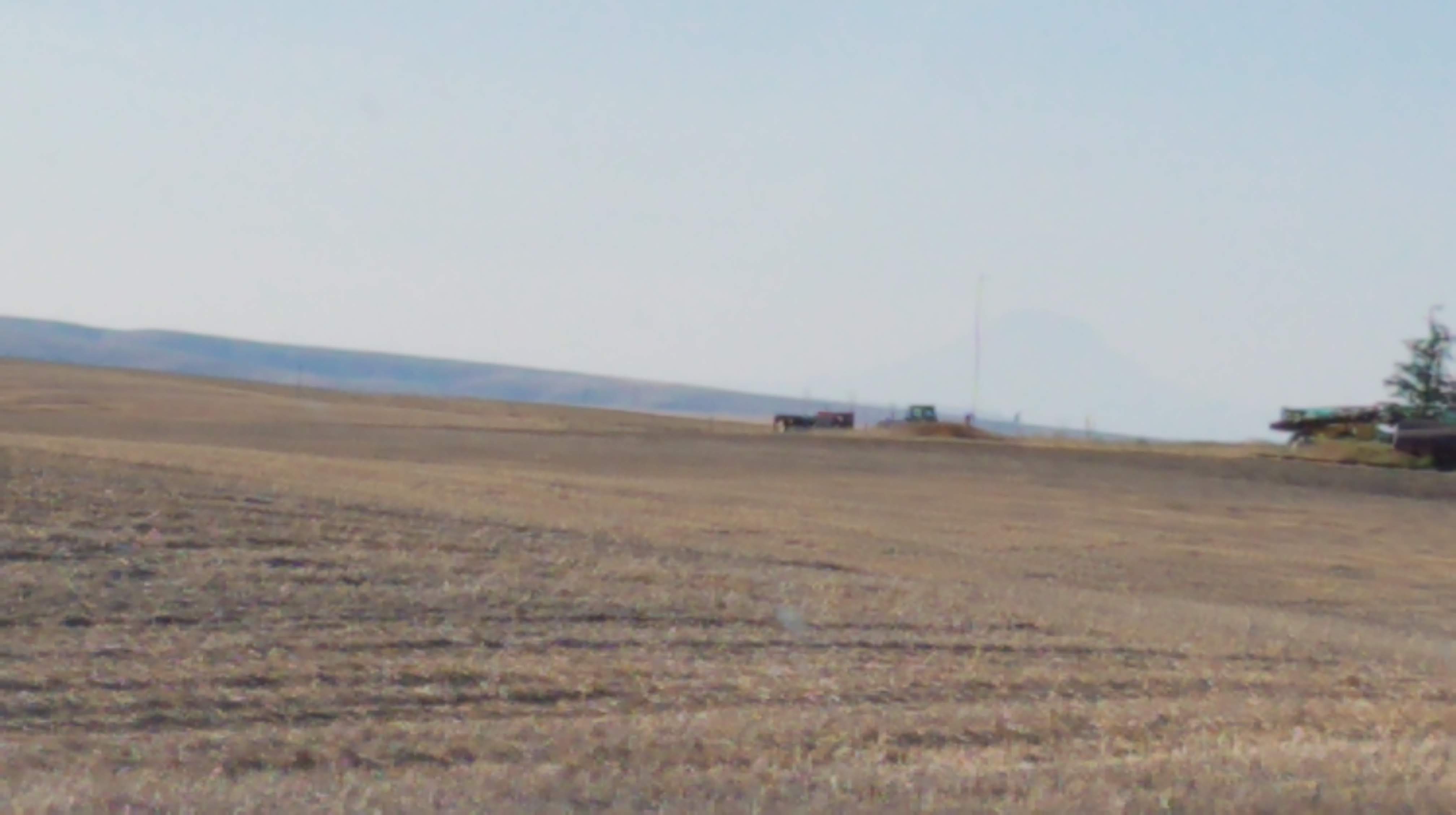
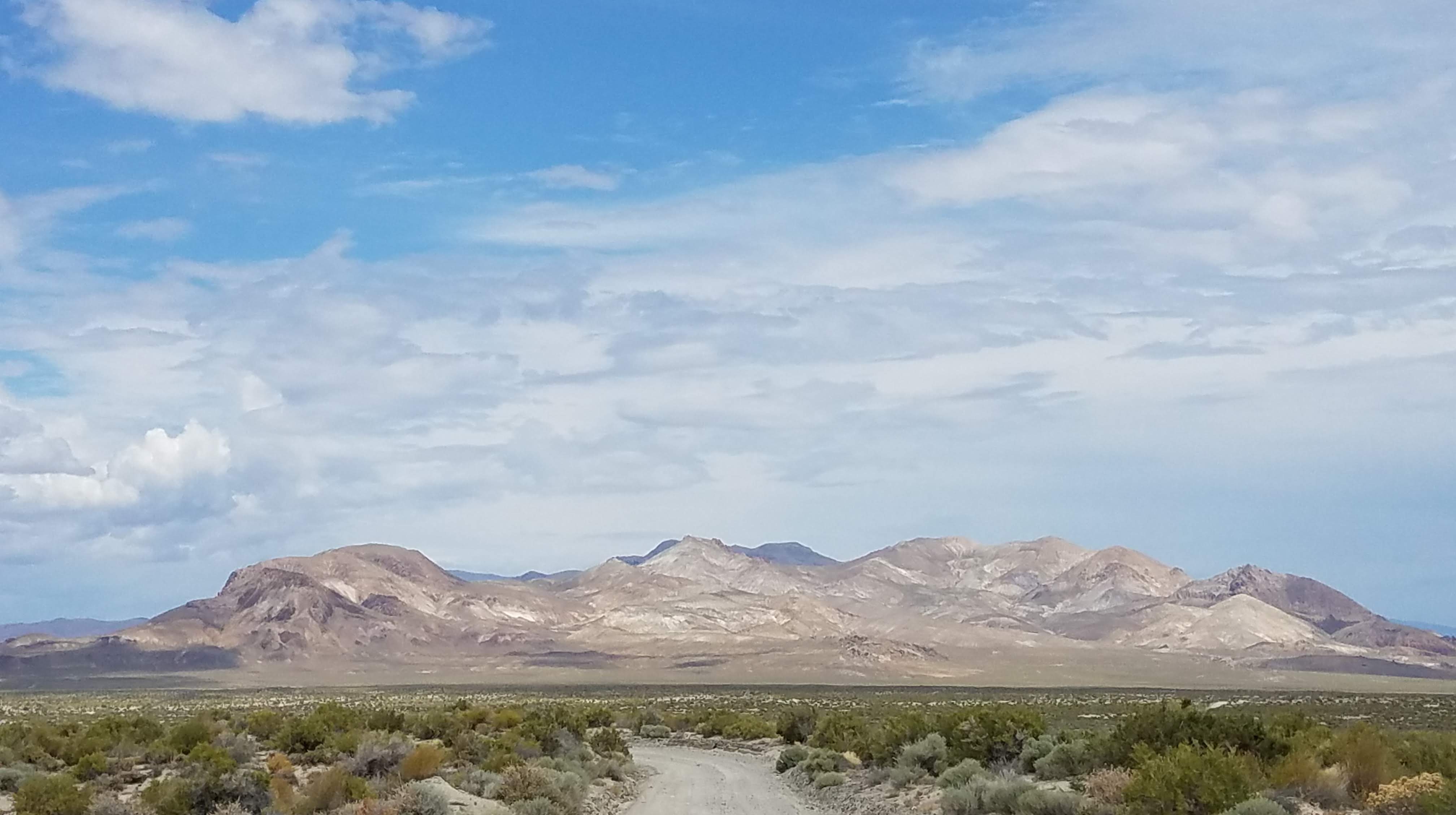
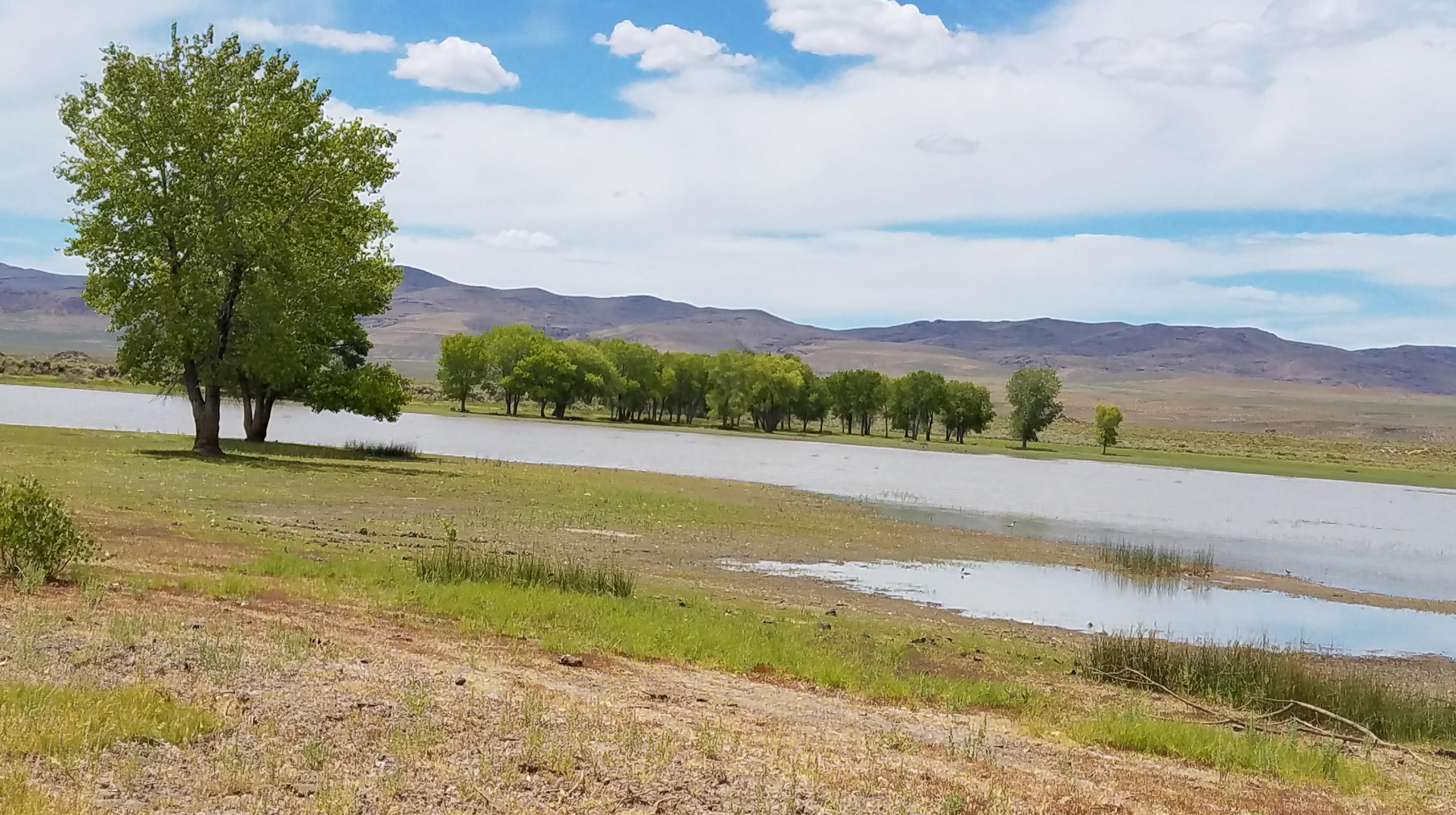
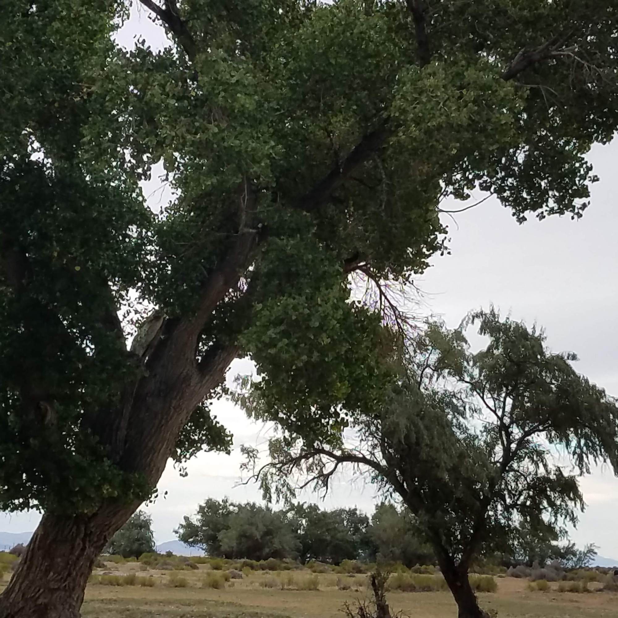
Stopping at Smoke Creek Ranch we rest in the shade of giant Russian olive trees that were planted many, many years ago. After Smoke Creek, we drove around the playa and found a great reservoir and drove trails around the lake until we could drive no further. We see Avocets, Blue Herron, Stilts, Ravens, Canadian Geese, Ibis and raptors galore – so many things we’d never see if Steve wasn’t driving. We will keep this as a future camp spot.

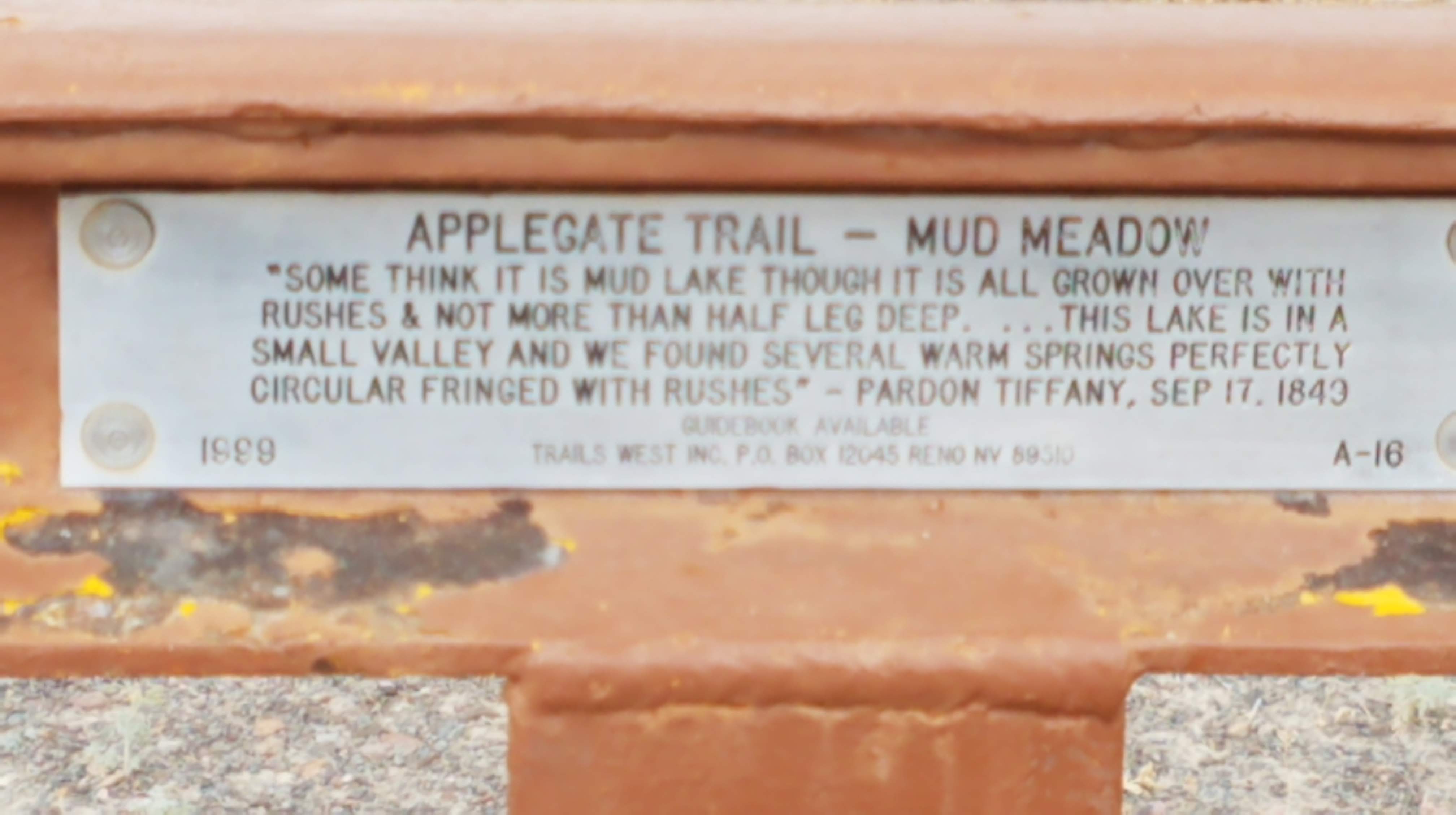
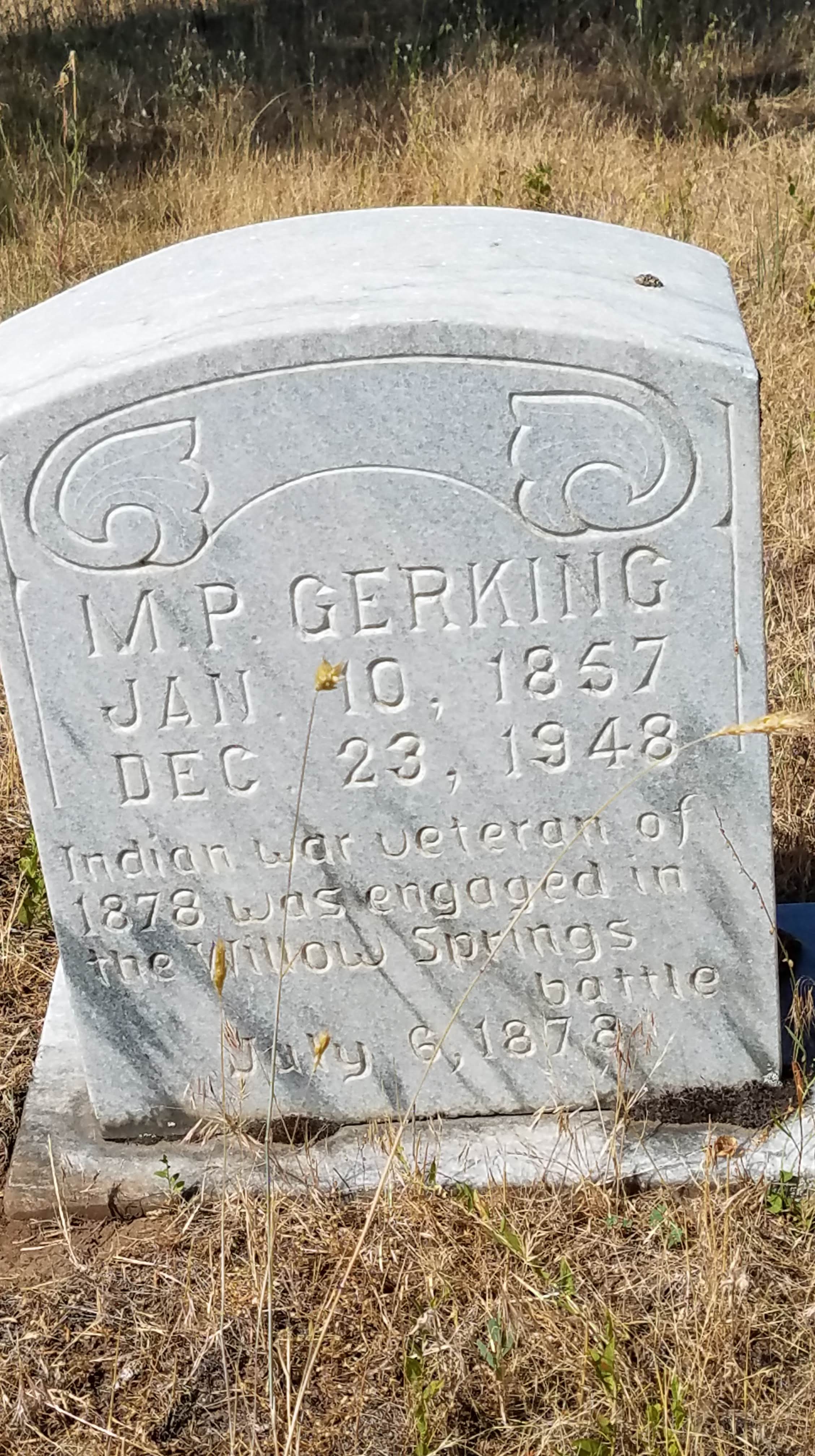
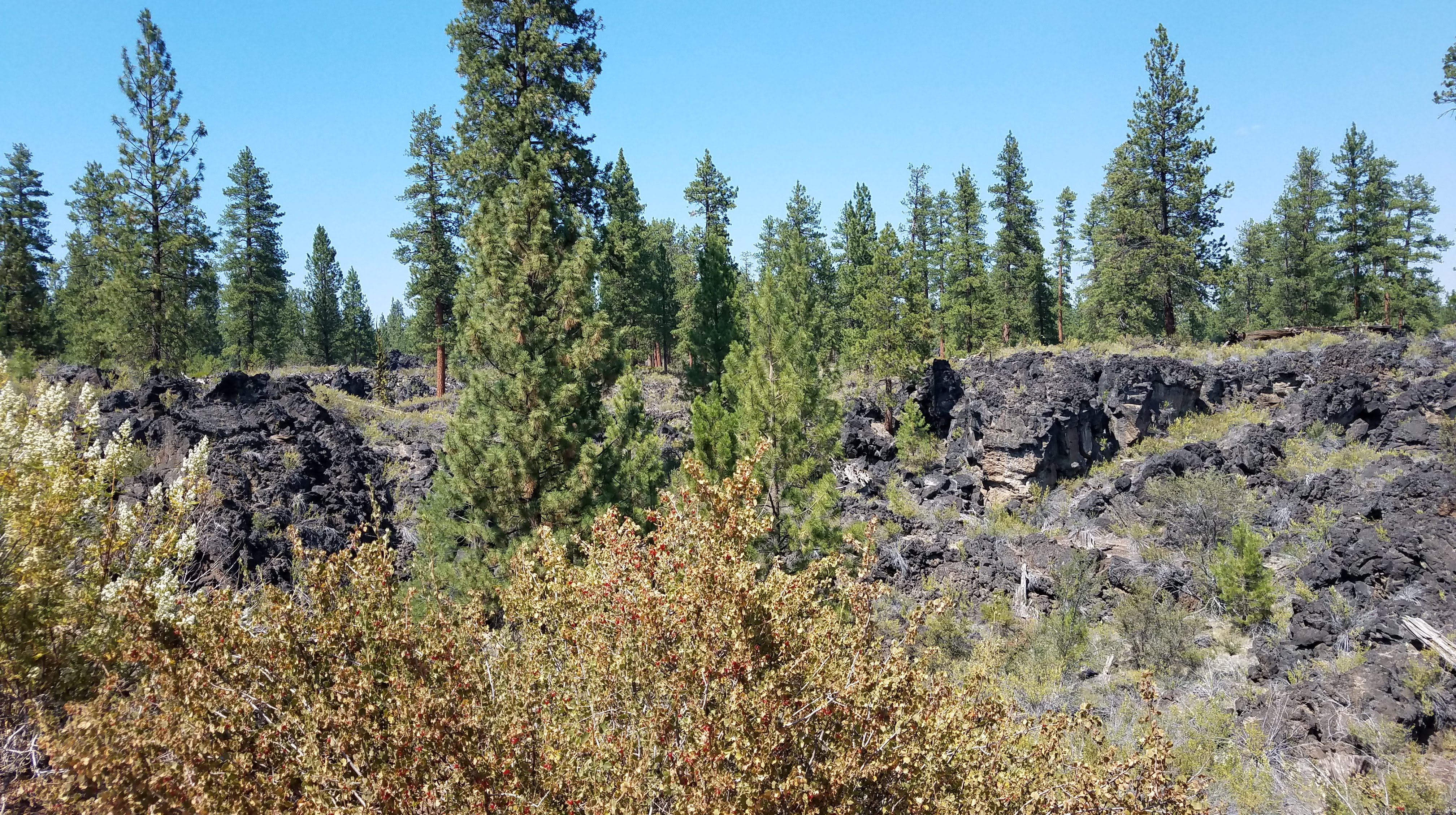
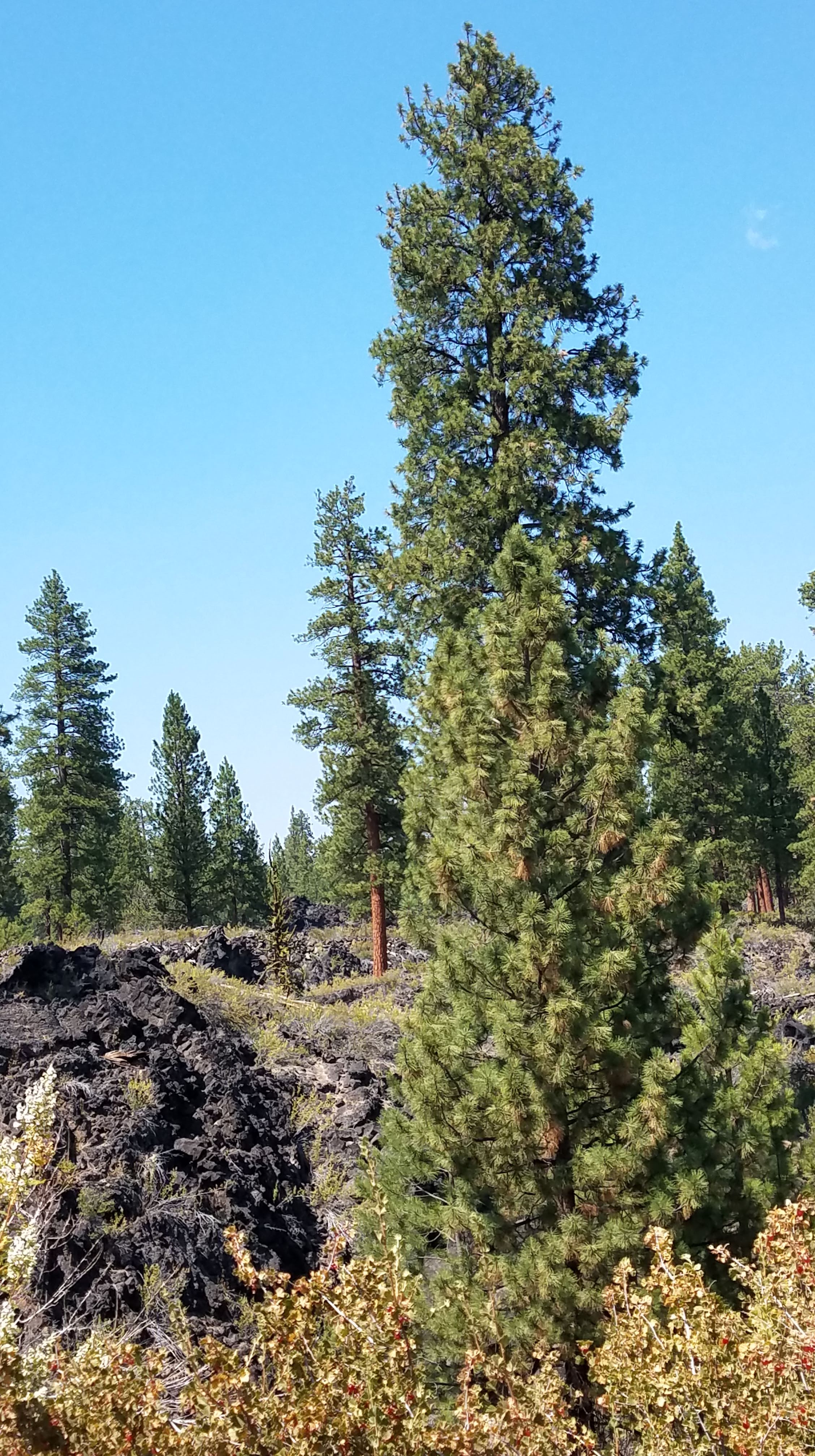
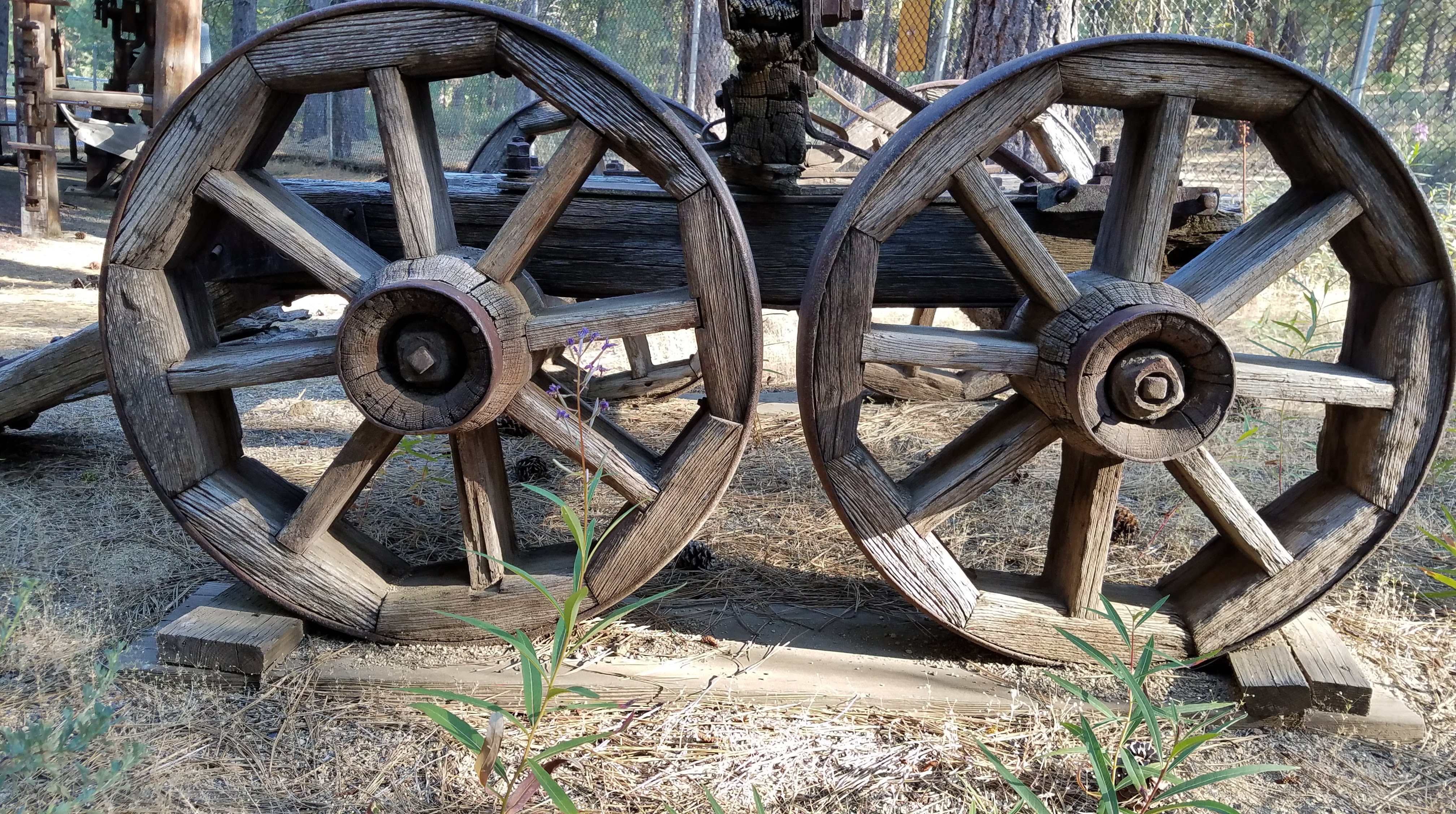
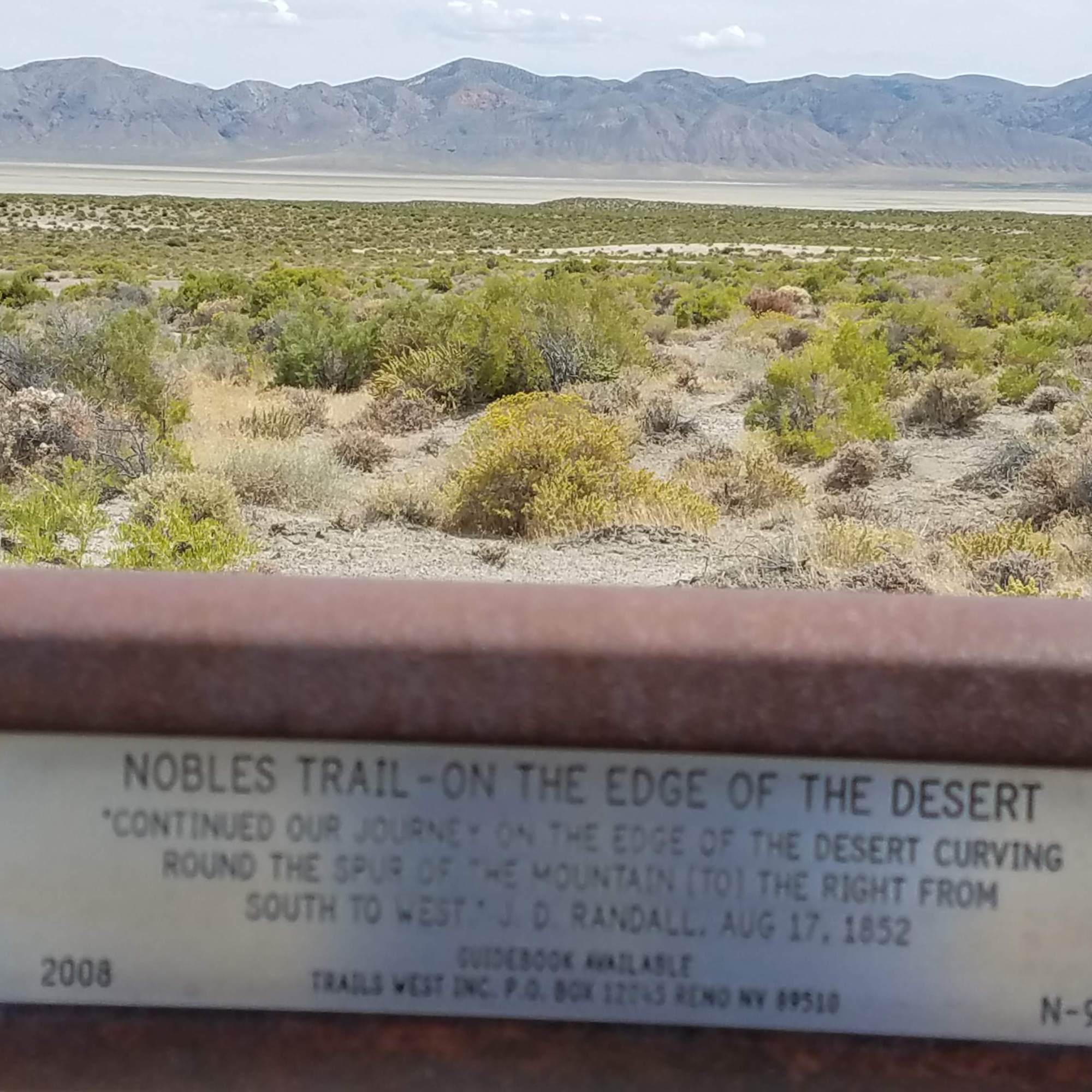
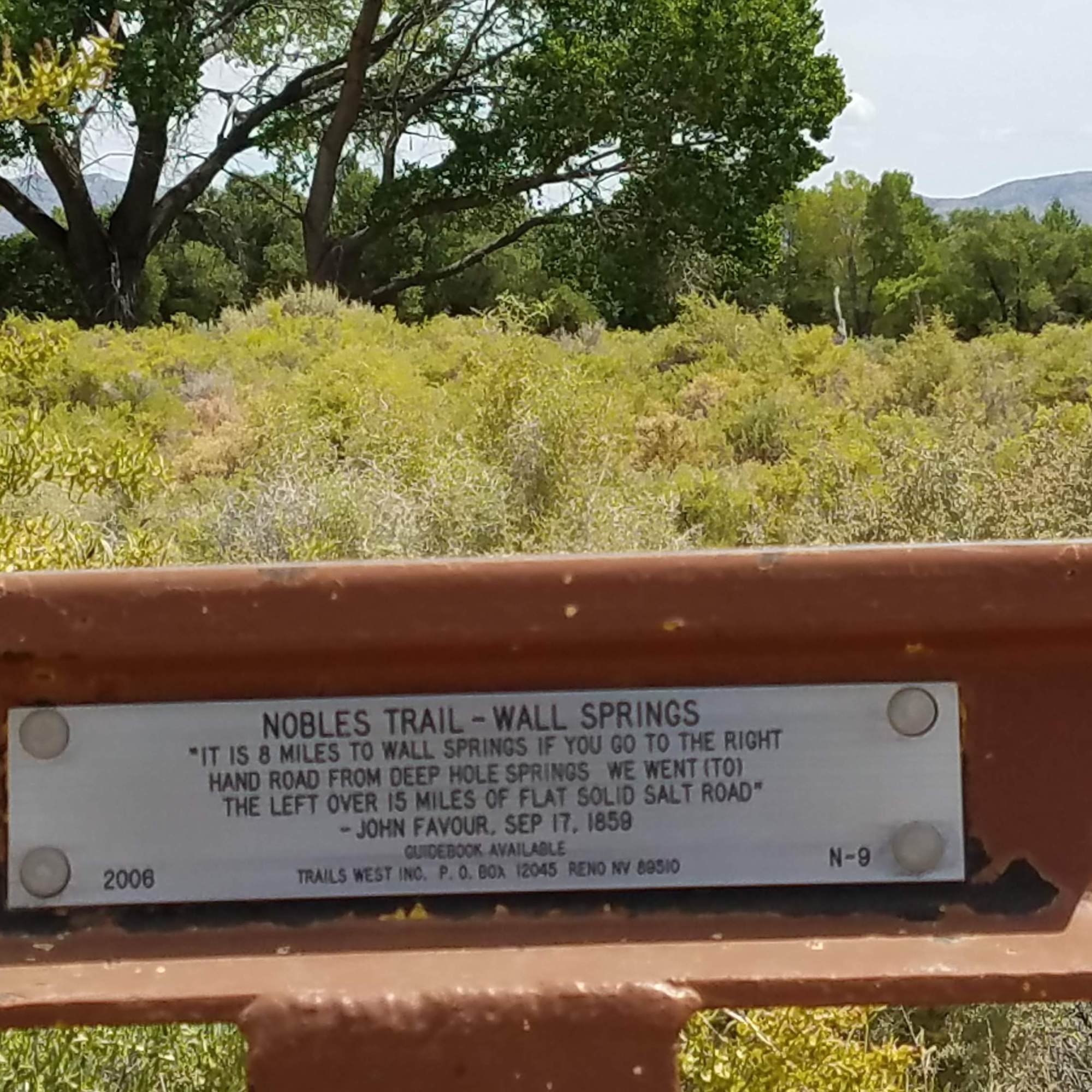
We begin to see the little immigrant signs, which site a time and quote from a pioneer’s journal. Some from the Lassen group and some from the Nobles group. Facinating to see these markers. We have found them on many journeys and in the most remote places. To imagine how they made it with the equipment they had is truly amazing. These are alternate routes of the Oregon Trail.

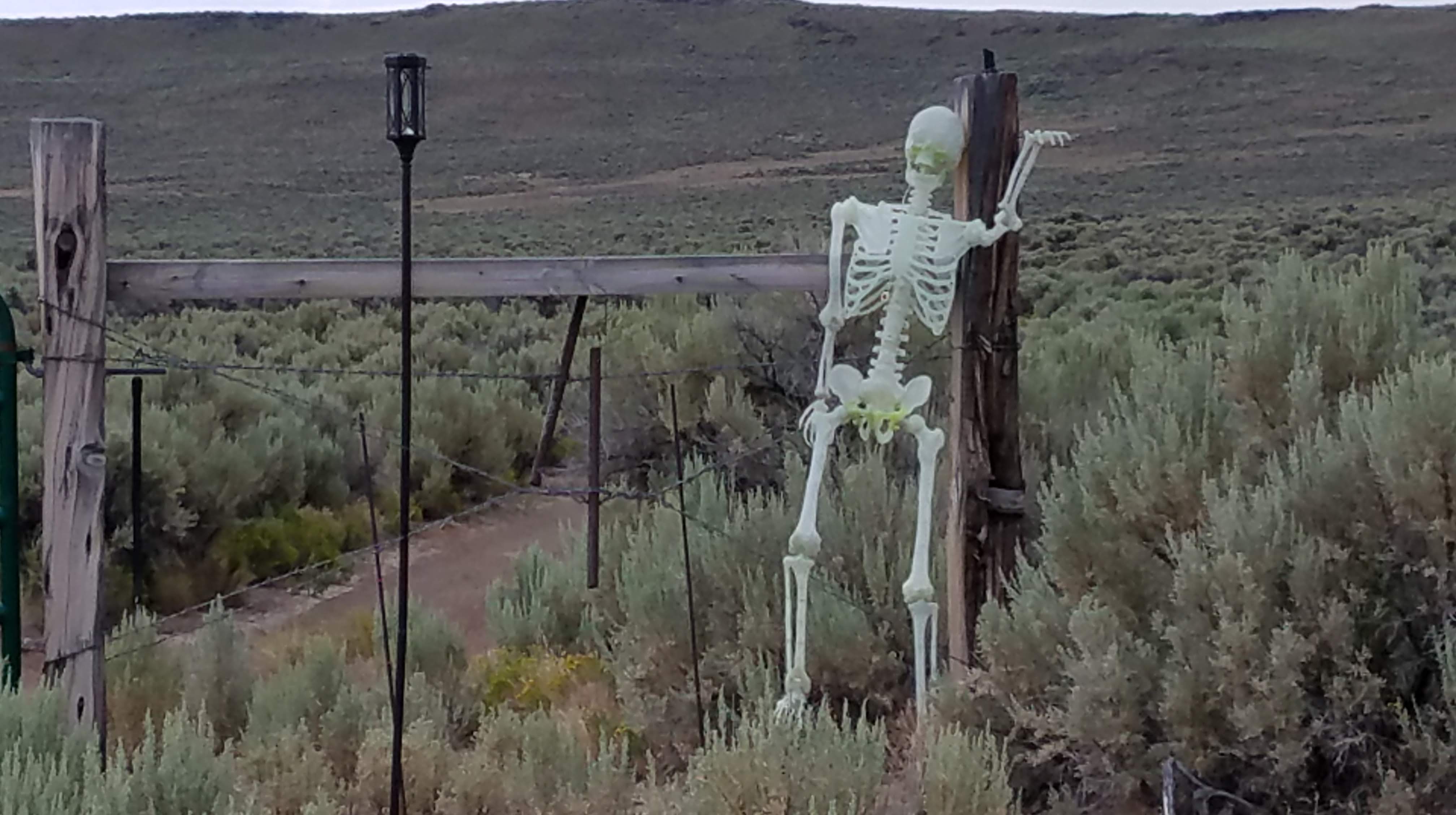
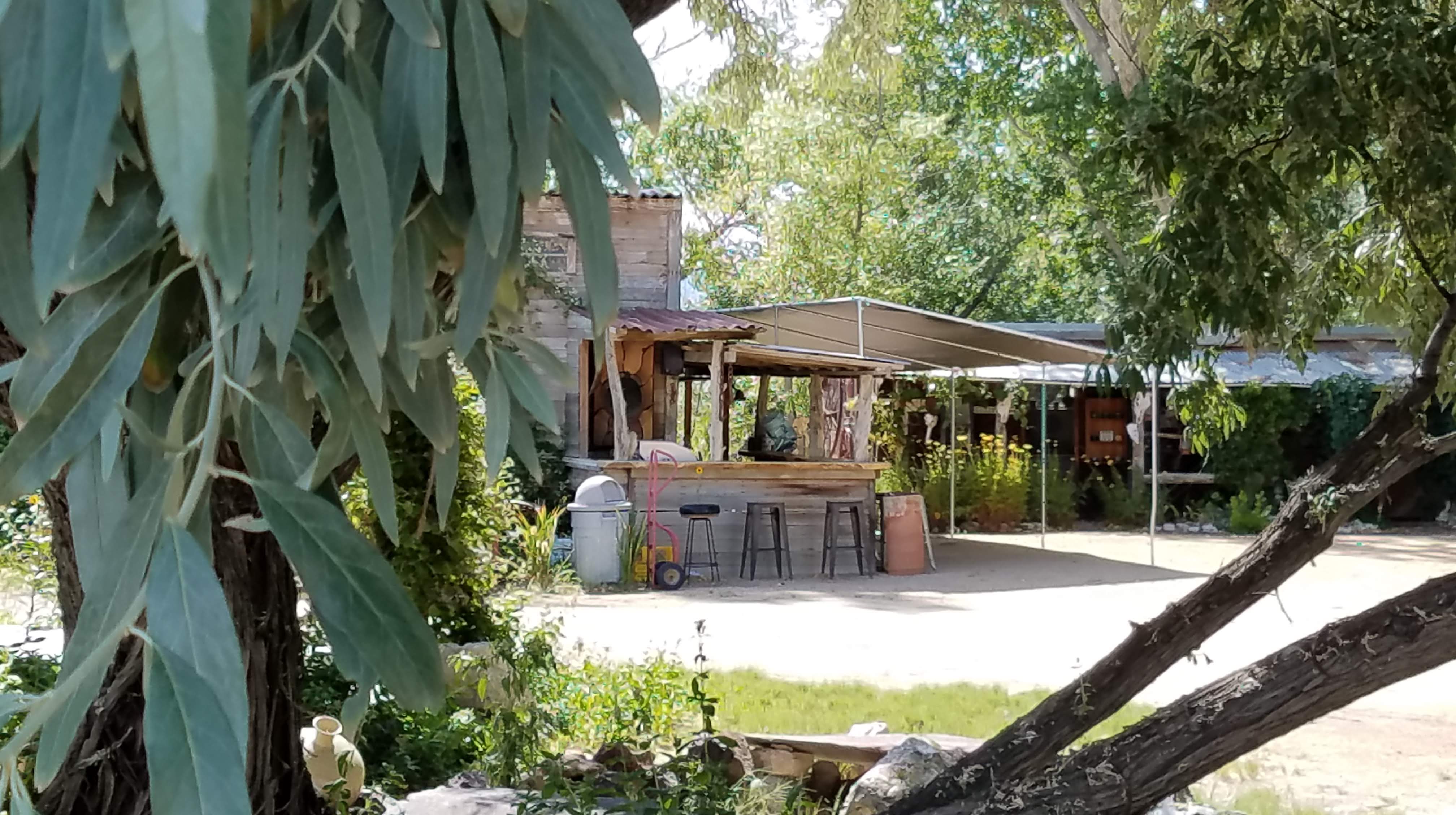
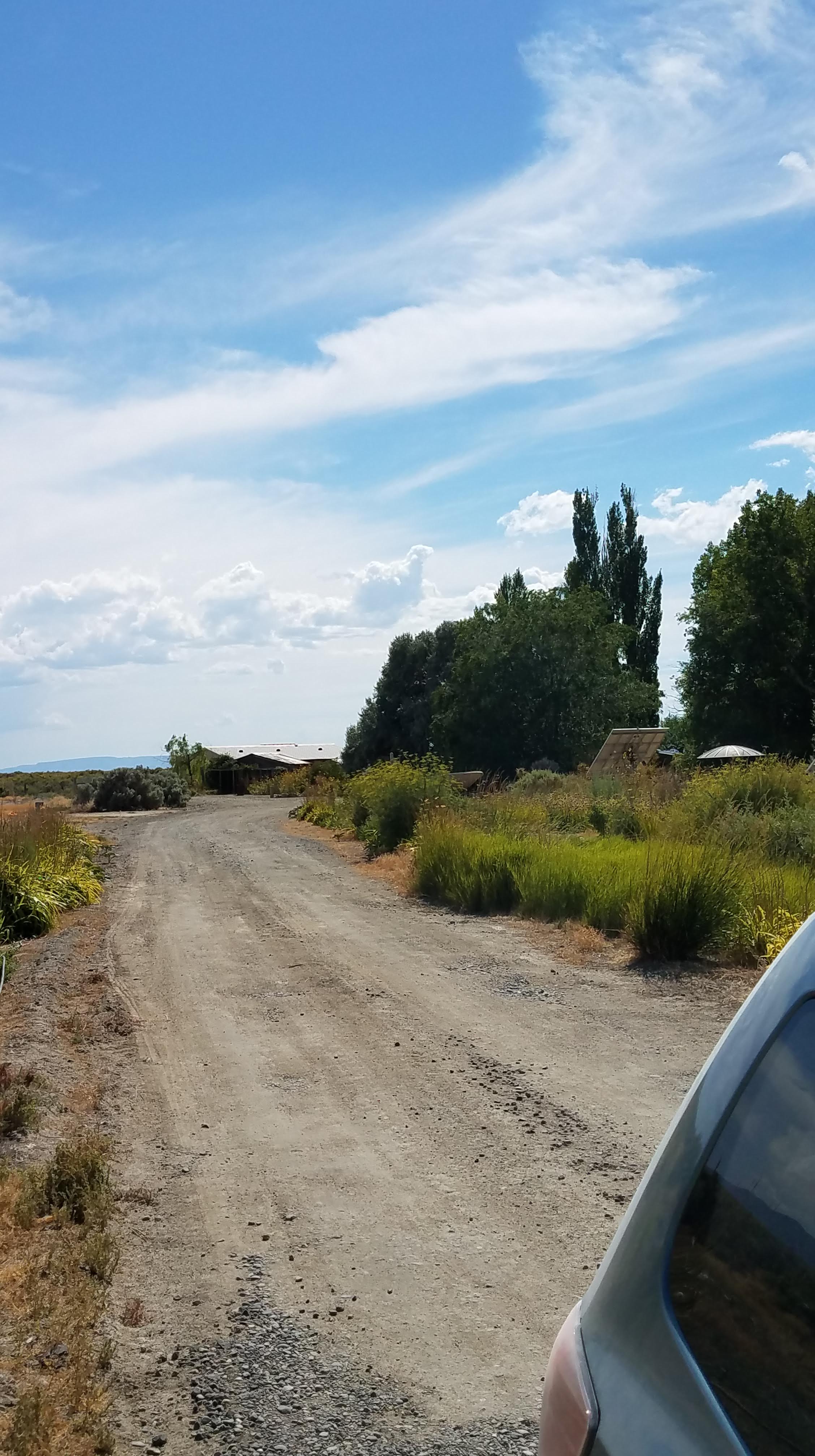
Heading to Gerlach now, we aim for Planet X and land safely. We stop every year and visit, pick things up, laugh. John and Rachel Bogard are such interesting and interested people. We would love to purchase the Wall Springs property “next door” on Smoke Creek Playa west of Planet X, but they aren’t selling.

After our visit with Rachel (John was in Oregon fishing) we head into Gerlach for a bite at Bruno’s Country Club – there’s fun history here – and share a plate of 3-meat ravioli that is Bruno’s grandmother’s recipe. Delish. Now out to Frog Pond to camp.

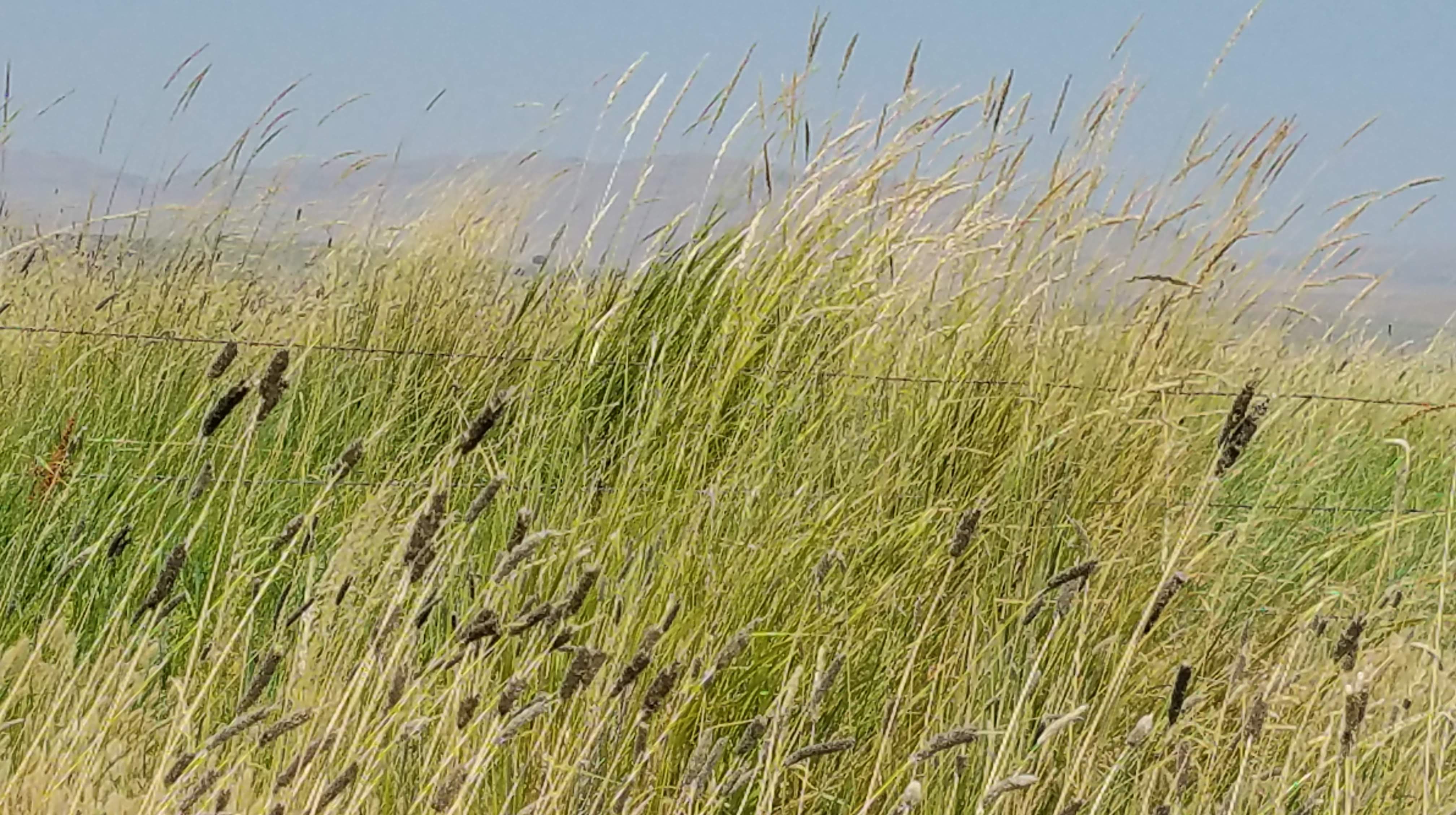
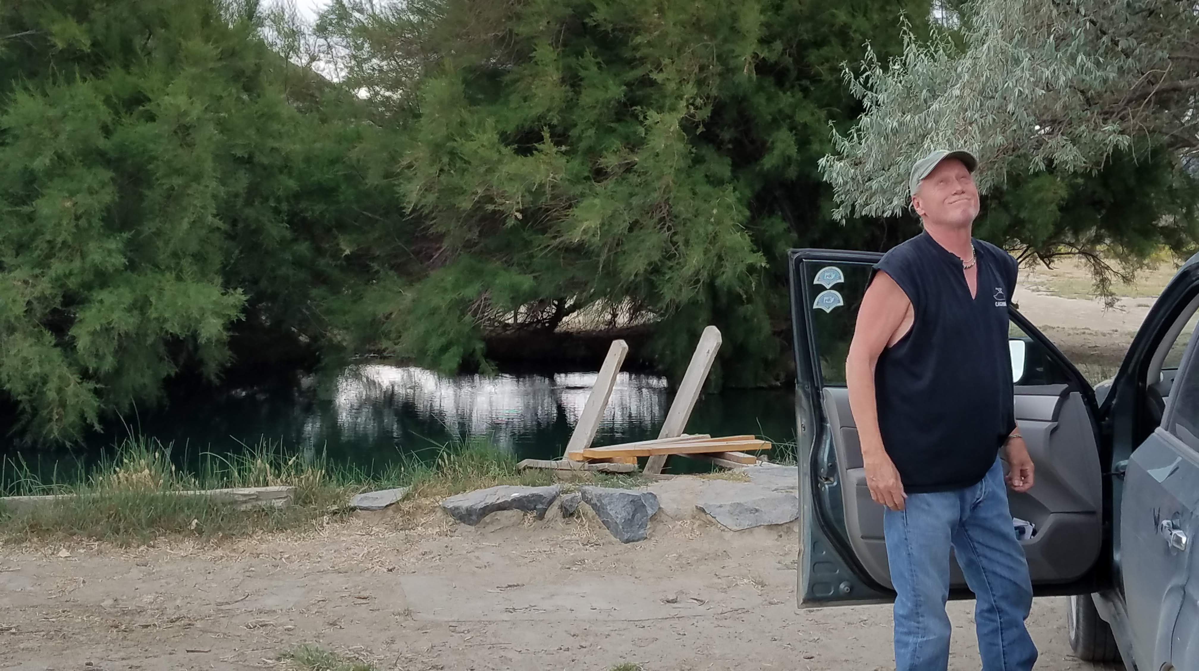
We get to our spot and pull out our relax chairs and do just that – relax. We are very happy to be here. While we are relaxing, a group of 7 trucks of people come in – they are on a tour of the region coming from Virginia City. They walk around, have a film crew comemorating their adventure. Seemingly unimpressed they say a quick hello and leave. Hmmm. One of the two leaders of the group was certain he saw multicolored fish on a previous visit in the pond…was that during Burning Man, perhaps? There are no multicolored fish, only “regular minnows” as one said. They are actually Desert Pup Fish.

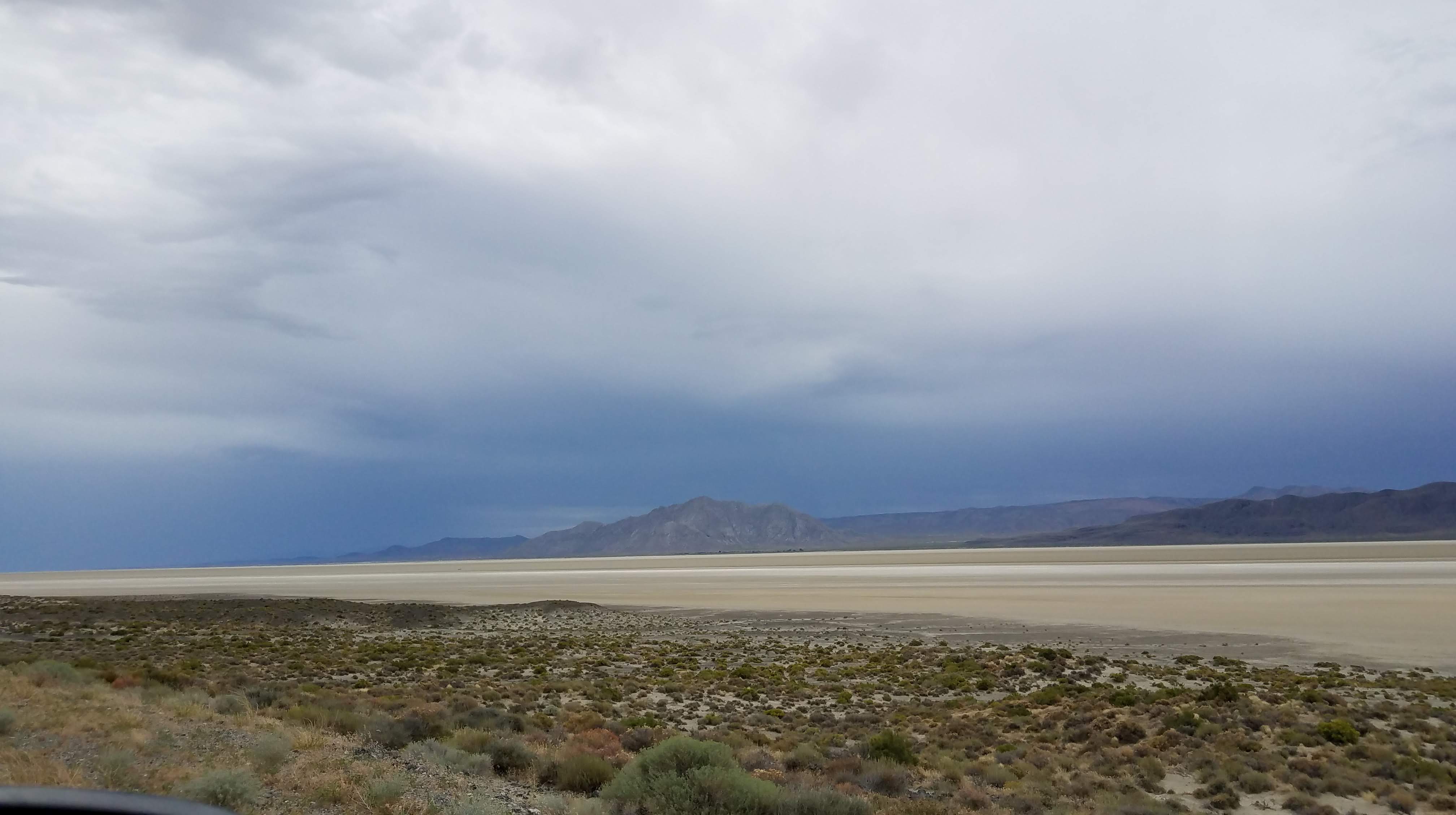
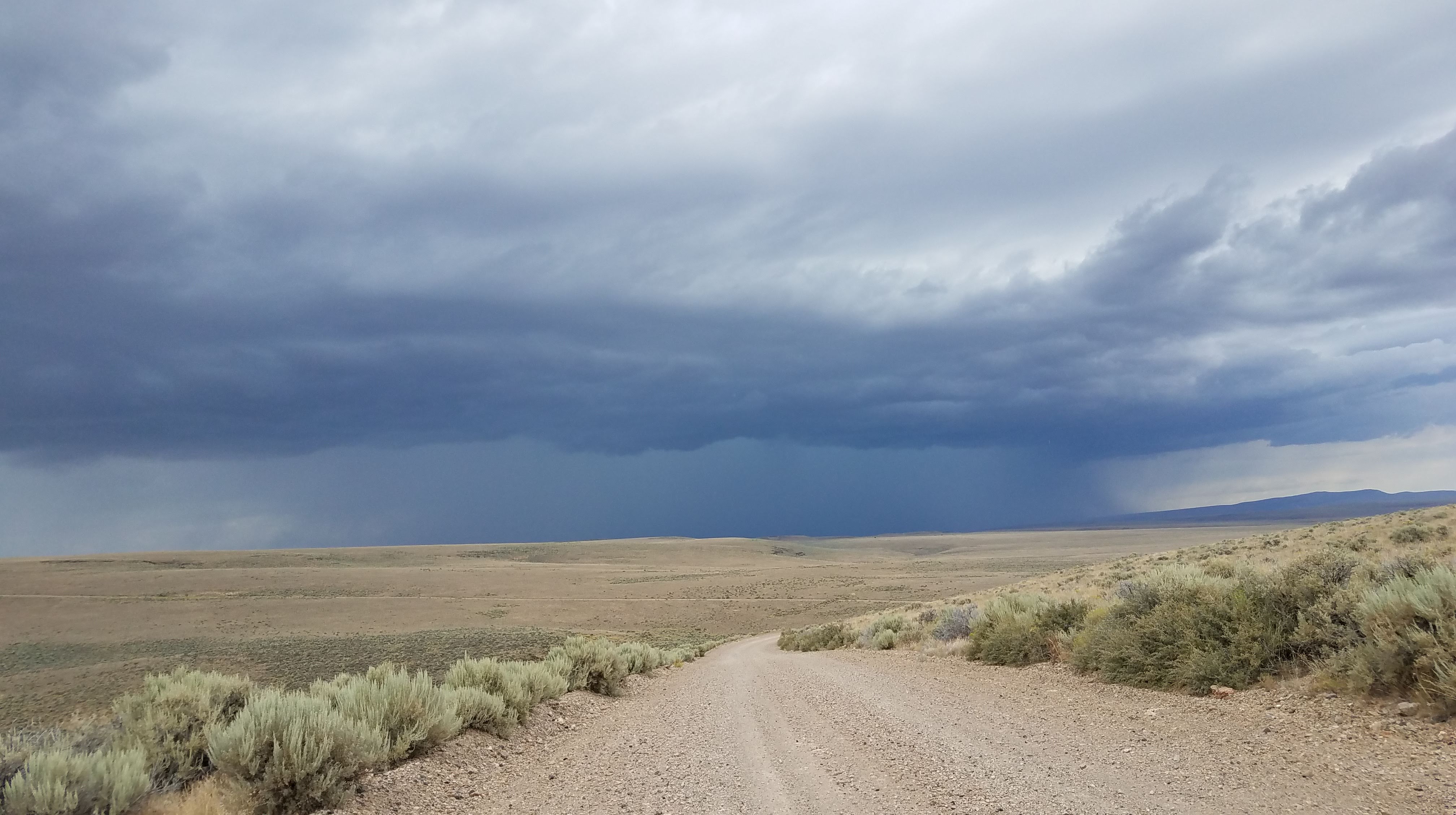
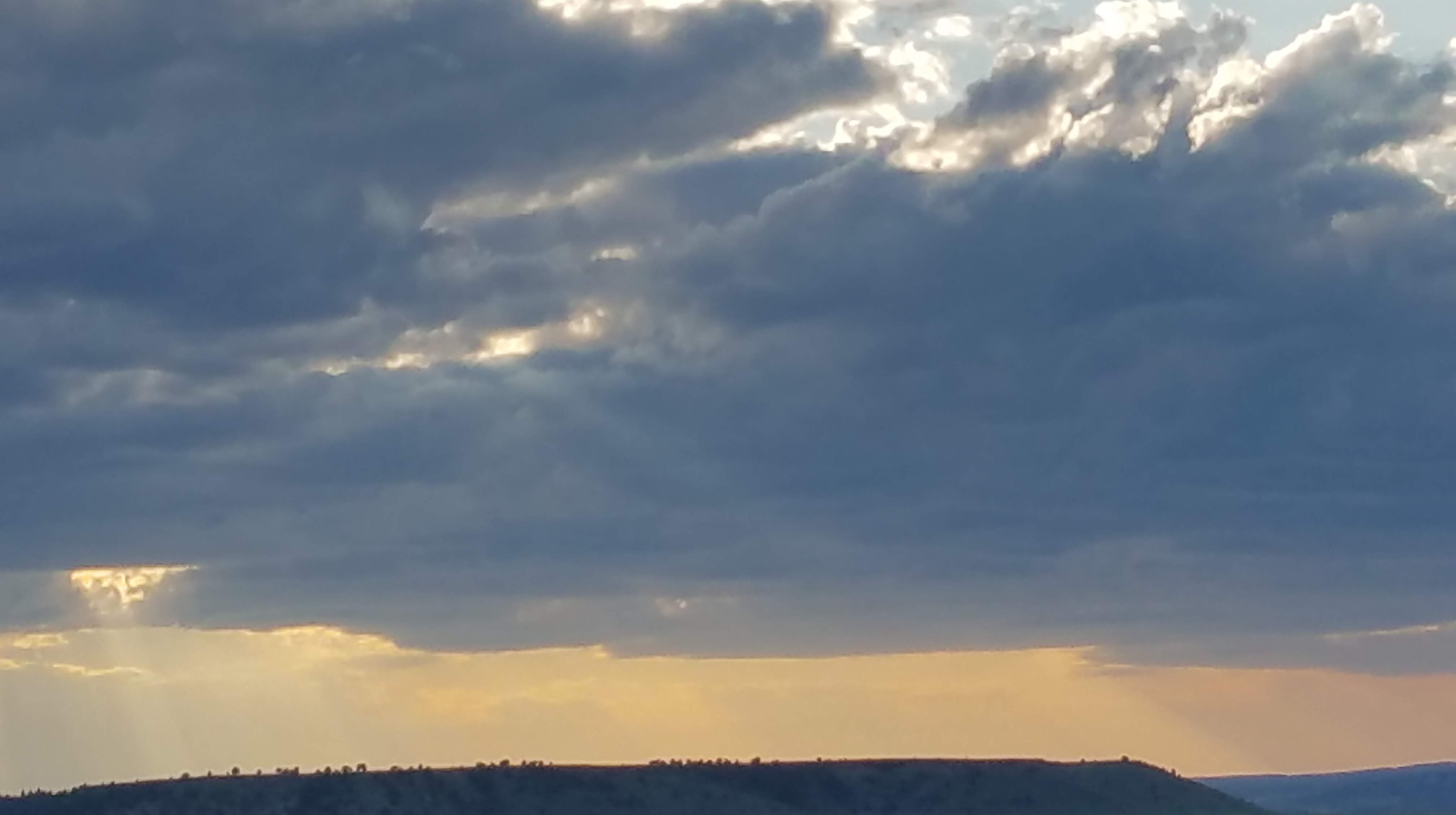
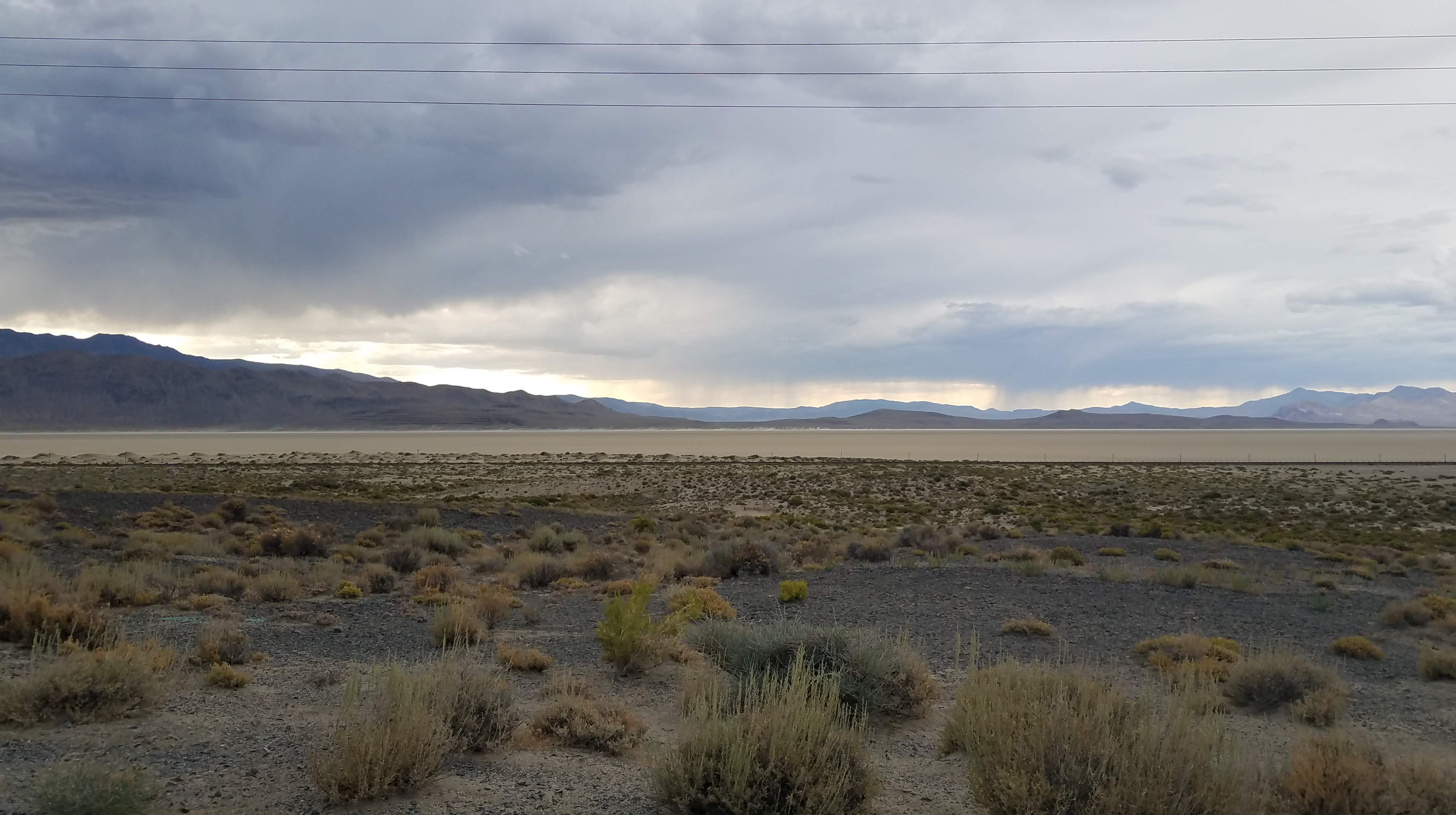
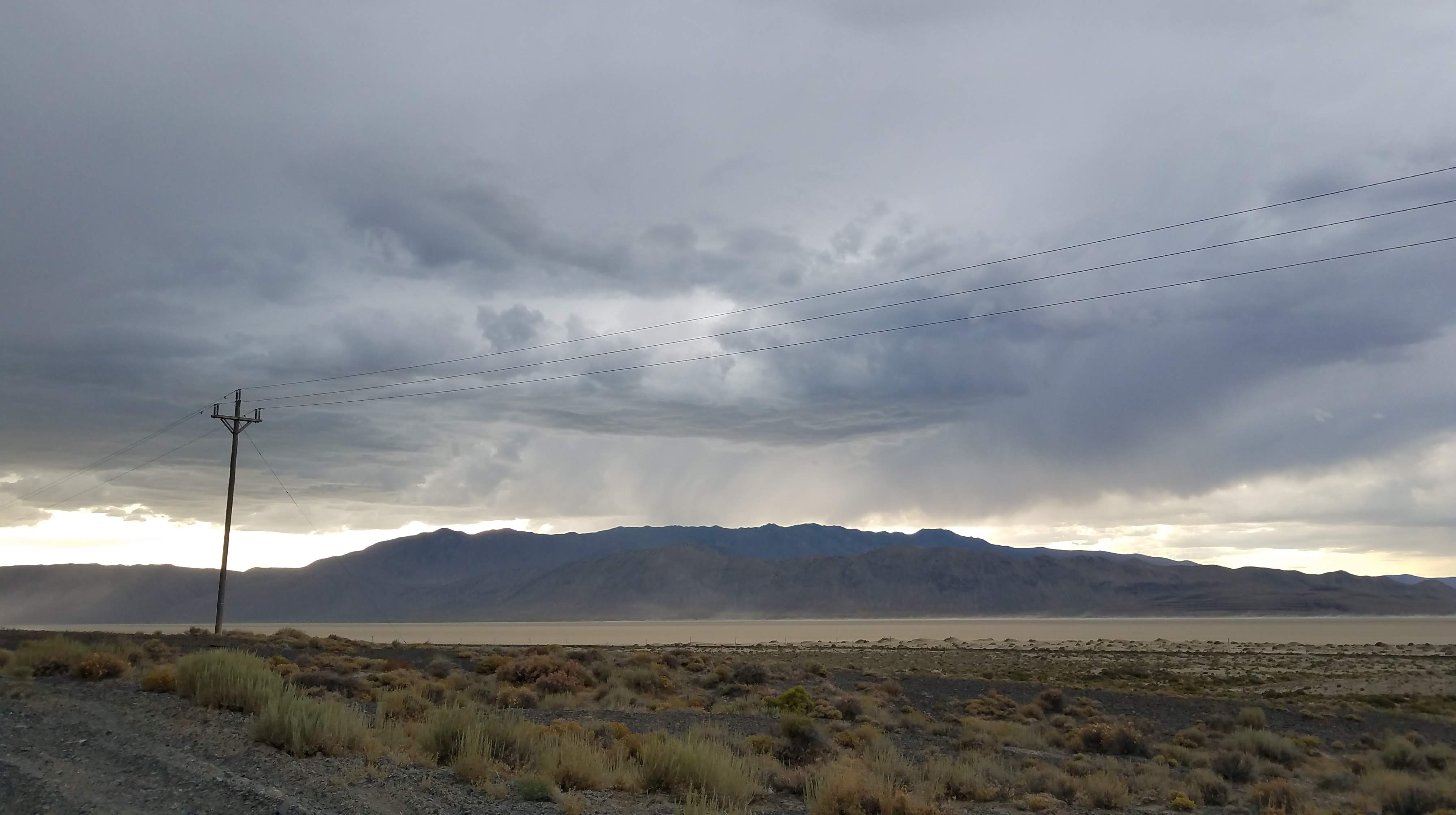
Storms seem to be forming around us. We’ve been through storms here before, so we head for Bruno’s Motel in town. This has been a very unusual year for the region, having rain long into the spring. As we drive into town we start getting drops on our windshield. After we check into the room, we hear thunder and it rains so hard, and looking back at the playa we see a 500′ sand storm (haboob) right about where we would have been camped. Whew. Stormed all night.

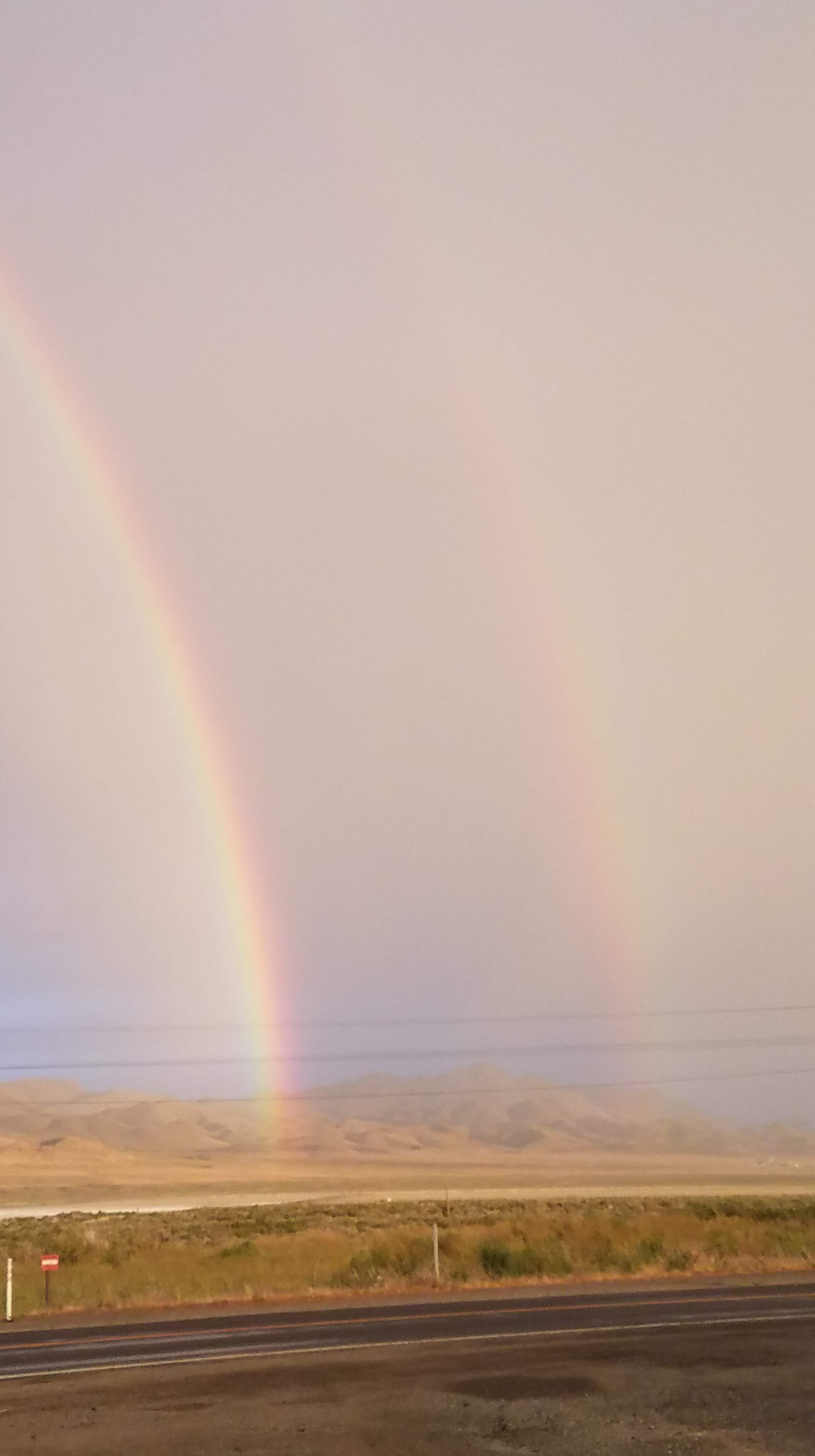
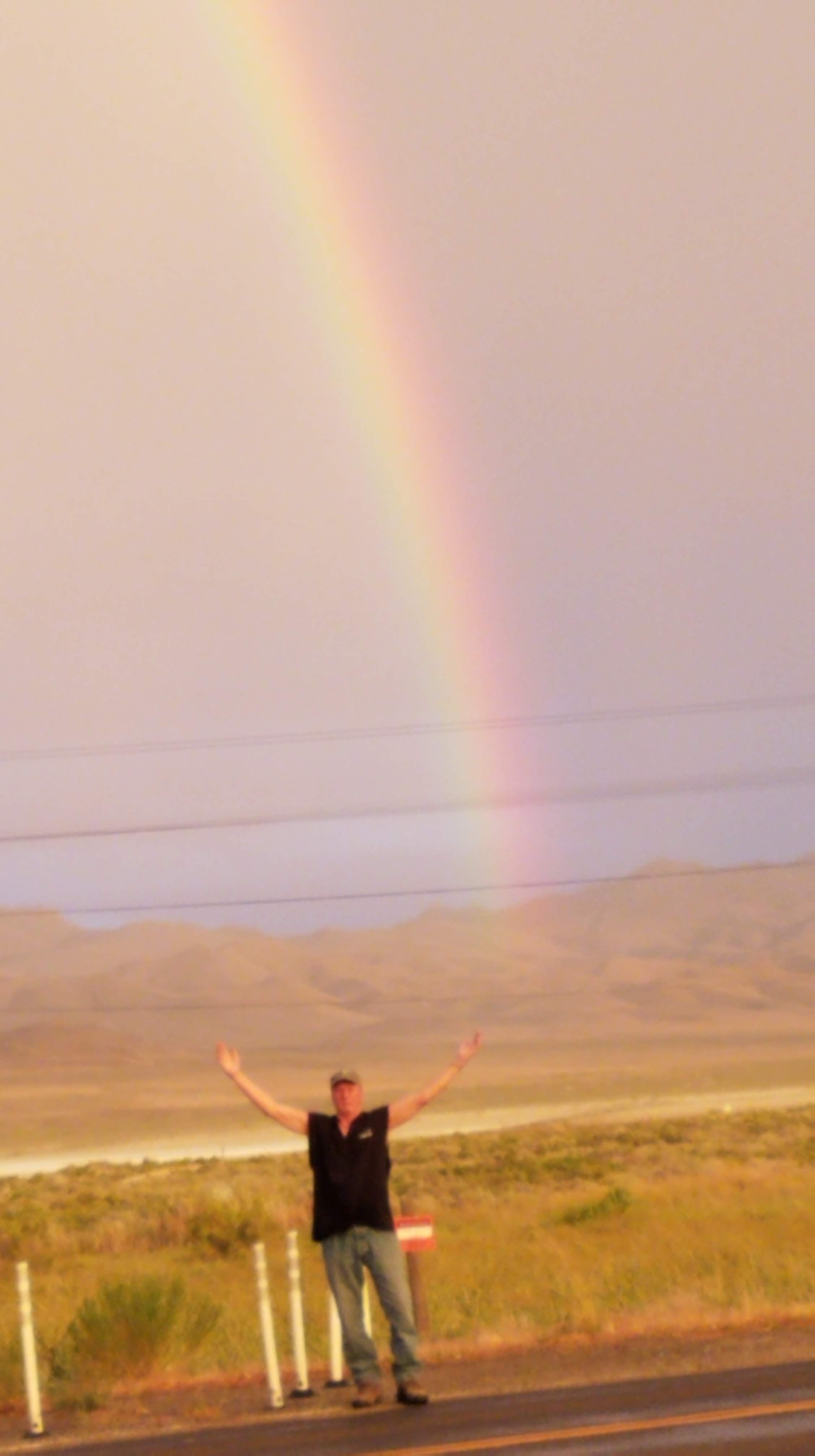
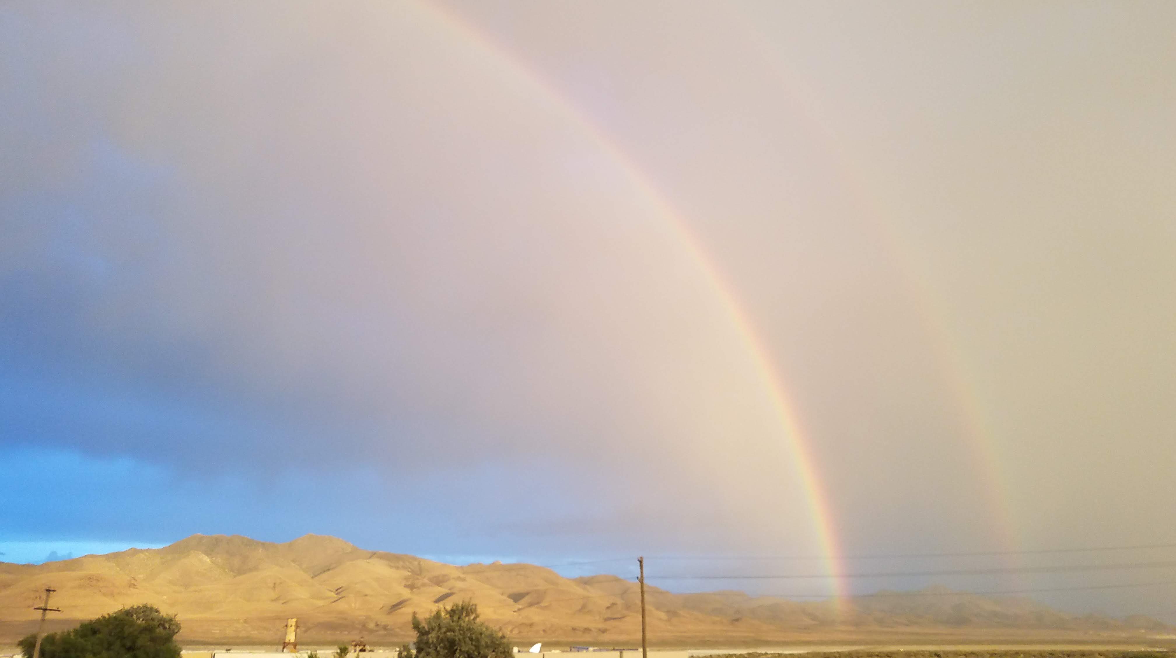
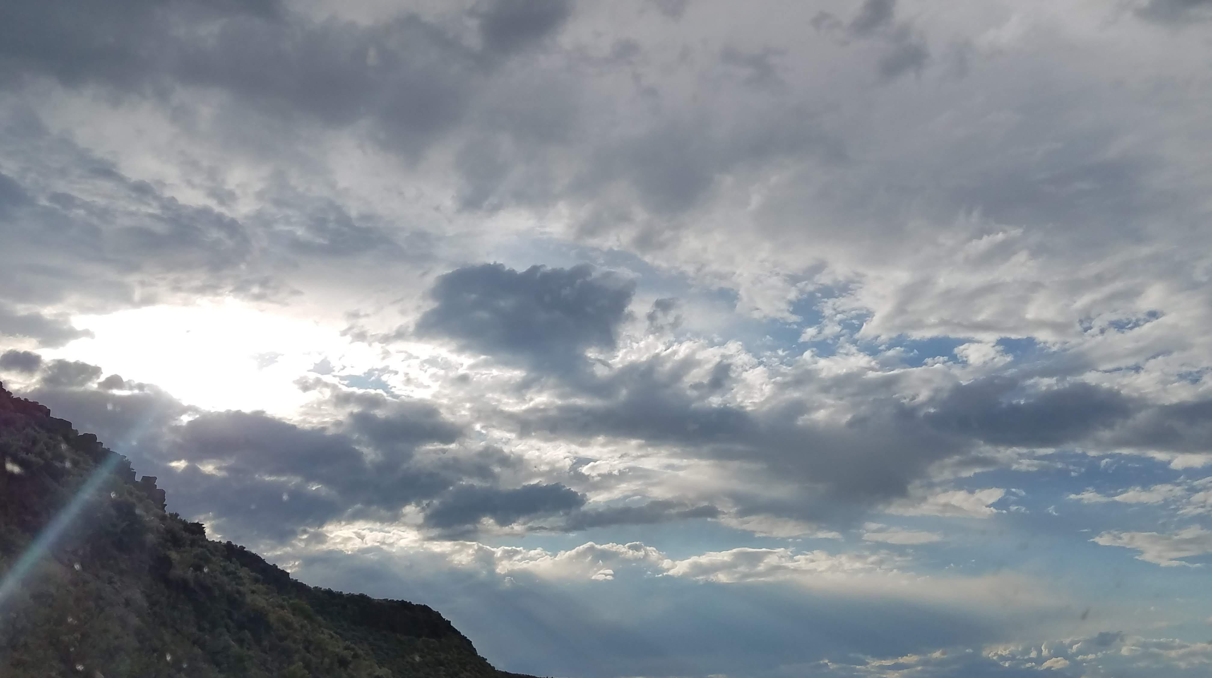
The crews are slowly arriving in for set up of Burning Man at the end of August. Steven D’Amelio, you must plan to come to Black Rock City. You will enjoy! Later, storms still ongoing, a full double rainbow appears – Arches Over Gerlach! Beautiful!

July 26 – Into Soldier Meadows

Woke to complete cloud cover over the entire valley, with spotty showers in the distance. Quick breakfast at Bruno’s and stop at BLM for info on back roads, but they are closed (Steve thanks “the Donald”).

The Black Rock Desert is surrounded by mountain ranges. Selenite Mountains to the south, Granite Mountains to the north, Black Rock Mountains to the west. I love this area. The region brings with it a deep emotional reaction I cannot really explain.

A quick stop at Wheeler Range and Wagner Spring, we are off into Soldier Meadows. We come upon the most beautiful mustang I have seen close to Mud Meadow Creek. He stood proudly on top of a mound watching us as we watched him. Breathtaking creature, and you could feel the connection of spirit as our eyes met. He was never afraid, intimated or wary.

We pass Soldier Meadows Lodge and Guest Ranch. On to the Summit Lake which is on native land, then after checking out the lake we come to a very glittery section of roadway – heads up, Molly Jessup! This time the glitter is not mica, it is obsidian!

Onto the Sheldon National Wildlife Refuge, mostly set up as an antelope sanctuary, and see lots of antelope, a handful of rodents, and lots of volcanic material and ancient flows. Also, sage, lupin and maybe a kook or two…in our mirror. We head on Road 8A past the Fish Springs camp. Our route seems to be taking us into a huge rain cell.

We head on 140 to Denio to get a room, but all full (there’s only one), then to Fields (same thing here), then French Glen (a small, picturesque hotel on the national historic register, with home style meals) but no room at this inn either. Head then into the infamous Burns, Oregon seeing bucks with big racks on the way.

July 27 – Crowley Road

We head out of Burns after breakfast at a really odd place. Food was ok, but the service and the manner in which one is supposed to order is very different.

While we waited 30 minutes for our eggs and sausage (only three tables were seated) we got acquainted with a couple our age across from us. They had been visiting their children in Idaho and were heading back on fun routes to the Fresno area. They were planning their retirement, too, so we had lots to talk about. Said they used to go to San Francisco frequently but can’t anymore because it has become so “disfunctional and dangerous.”

Susan Tedeschi rides with us into Malheur Wildlife Preserve and we see lots of Pelicans, Great White Herron, Ibis, Greb, Yellow Headed and Bronze Cowbirds, butter and dragon flies, Ravens, Kildeers, Sand Hill Cranes, Stilts. Watching the Swallows fly in the wind en masse look like jet fighters the way they manuver through the “cloud” of fellow birds.

Now Hwy 78 takes us to Crowley Road. This is a new road for us, and takes us through a most beautiful prairie on the high desert, with deer, birds, many different grasses, and lots of water for all. It was about 100 miles of dirt/gravel/rock road, some parts good and some parts really bad. Our speed average was from a walking pace to 50mph.

We happened upon a group of cowboys, kids, families and stopped to see what was happening. Looked like they were getting ready for a round-up. Three children – boy about 5, girls about 7 and 9 – and were so friendly and conversed so easily in a slight “cowboy” accent. They were all here to do branding for a couple days. The 9-year old said, “should be pretty fast, only 600 head and they are ‘well-paired’.” We asked if we just continue on this road (we already knew) and she said, “Just keep on and turn right at the big cottonwood and stay on the hard road.” Lovely day, out on Crowley Road we head to Ontario for the night.

July 28 – Surprise, Surprise

Leaving Onterio we take 353 toward Huntington. Stop to take a picture of a huge field of sunflowers just outside the town.

Huntington is a one-pump town. A wiry 30-something manned the pump (Oregon rules) and we all had a fun chat while she pumped our gas. She told us Jim Belushi was in town recently to help in a fundraiser to rebuild a building lost to arson. He has a business in the area and is involved in the community.

Take the road to Malheur Reservoir out of Huntington, through golden and green rolling grazing lands. Stop at the reservoir and hunt for treasure (none found!), then toward Bridgeport. Passing through the valley we notice the cows grazing in the green, green grasses and they were stunning, their jet black and chestnut brown coats against the pure green.

West on 245 through Hereford (no store) and stop in Unity for buns. Continuing on 26 we enter a Pine forest, the Willowa-Whitman National Forest. Now Pine, Fir, Spruce. The drive is beautiful, peaceful, and full of twists and turns as the road follows the river.

We find Upper Middle Fork Road from 7 and stop at Ritter’s Hot Springs, a pay on-your-honor $12 “spa” with cabins, tenting, pool, hot springs. Steve’s Surprise for me! There were a few other guests – a pair of somewhat rowdy ones, and a couple who flew from Paris to Seattle, rented a car, and are touring hidden spots and amazing sights for the next month. Very nice. I know small towns will be good to them. Their next destination is Hell’s Canyon, Idaho.

We spend a lovely evening in the hot springs watching the stars until quite late.

July 29 – Geology

Diane woke early to the smells of bacon and coffee – thank you, Steve! There is a chill in the air we have not experienced in a couple weeks. We will wait for the sun to clear the cliffs above us.

Steve had given the French couple some of his smoked salmon the night before (“the best we have ever tasted!) and this morning shared some fruit. “Louis, would you like some cantelope?” “Cantalup? What is cantalup?” Steve holds it up. “Ah, we call that melen!” Vive la France!

We enjoy breakfast, then pack up camp. Such a beautiful morning. On the way out of this very rustic place we stop for a photo of the “store” and run into the caretakers. Lovely couple raising their family much off the grid, taking their home with them as they move to new places to take seasonal positions. After their time here, Chance thinks maybe Colorado or Montana. Young and very sincere they are very mindfully doing what is best for their family. Chance, Heidi, Lila, Yance. Congrats!

Out of camp we detour to the Ritter Springs cemetary. We like small, remote cemetaries…they’re interesting. Really.

From 395 south, we take another detour on 26 to get meat sticks. You know those sticks that come in pepperoni, balony, etc. We also picked up some real good jerkey.

Head west toward Dayville and take South Fork John Day River Road. This canyon is quite narrow, and follows the river as it twists and turns, sparkles and sings. The walls of this canyon are basalt. Towers, swirls, small bricks…so many different formations. I wanted to bring a chunk home, but Steve said it would give us a flat. I did search and find a small section, so I’m satisfied for now.

Slid into Prineville after following the Crooked River in the Crooked Valley. Dinner of Chinese meat and vegis, laundry, and get ready for a new day.

July 30 – Klamath

Late start today. Out of Prineville at noon! Head on S 27 following the Crooked River, going through a narrow canyon with again, amazing basalt formations, sparkling water, winding back and forth. Fly fishers on the river left and right – really bugging us ; )

At Silver Lake Road we come into a Pine forest. I am always struck by the beauty of these pines, so tall and straight with beautifully patterned bark. Many burned trunks, but they are strong and have the ability to withstand fires when conditions are right.

Out of the forest on 18 we come into range land – grasses, sage, etc. We can see Fort Rock and stop at the site to view closer.

Continuing on we return to Silver Lake Road and into Colliers State Park and Logging Museum. Lots of old logging equipment, massive old machines – David would love this! We then head into Klamath Marsh, a protected preserve. This area is huge and awesome, and like a little Everglades.

Go into Chiloquin on Klamath Tribal land. Then continue into Klamath Falls for the night, passing Klamath Lake. Klamath Lake is massive and gives Lake Washington a run.

Another wonderful day.

July 31 – Crater Lake

We head out at 10:30 – it’s getting later! Take 97 south and then backroad it to the coast. Turn to 140 toward Crater Lake for a peek. On the way we watch two hawks being evicted by swallows, and then a Golden Eagle.

Into Crater Lake. It’s a bit zoo-y here, but it is really very beautiful, and pictures just don’t do it justice. We are in the National Park and find fossil steam – yes, this is a real thing.

Now heading on 138 to Roseburg, the summit is 5,500′, and we run into Mt. Thielsen. Mt. Thielsen is the center plug of a volcano. Glaciers carved away the outer part of the volcano, leaving this craggy center. Known as “the lightning rod of the Cascades” the top is said to have melted obsidian from so many strikes.

We pass Diamond and Lemolo lakes, drive through great forests of tall evergreens and stop to play a bit at Umpquah River. Head into Roseburg for the night.

August 1 – Lost in Tranquillity

Up and out of Roseburg, then following Umpquah River west. Had to turn around in the high country, due to downed trees on the road. There was a bad storm in February causing much damage to the forest.

Back to 138 and try Tyee Road. Stop along the river and we watch a mud dauber building her beautiful nest. Head down Wongoner Creek Ridge Rd. This road takes us up and back down to the river after climbing very high into the mountains on roads we don’t know the name of.

We come to a trailer and pickup sort of tucked into the brush and, looking like it is occupied, Steve gets out and calls “hello.” An elderly man peeks from behind the back of the trailer camper, hiding himself, and says he knows nothing about the road, he only stays here. Not sure what was up, but he was different and Steve said he felt hinky to him. On our way.

Seeing logging roads everywhere, and eventually find big logging equipment and come upon a trailer and pickup. This one looked really lived in, with hanging flower basket, vegetable garden in pots, etc. “Hello” brought an elderly man with obvious back troubles but more than friendly. He was a logger all his life, and now he and his wife were here as guardians of the equipment that was salvaging all the downed storm trees. They were cut off for more than a week during the big storm. “You are on the right road – just 3 more miles down to the river!”

Work our way to Florence and stop to stay for the night. Dinner is seafood, oysters and razor clams. Then a lovely evening drive to the dunes and the ocean beach. Florence is at the mouth of the Umpquah River. Really fun 18 hours.

August 2 – Oh, the Frustration

Out of Florence and up the coast on Hwy 101. Yes, there is traffic but we want to walk on the beach so stop at a wayside. It is overcast and warm and delicious on the beach. Love Oregon beaches – well, any beaches.

Continue on with some spotty drizzle that turns to rain. Head on 99 west and continue looking for lodging – make it a short day, find something to do, etc. We decide to go I5 to 205 east.

We finally stop in Woodburn and find a room after 3 hours of maneuvering through wretched traffic jams and closures on roads we hoped would help us escape. End up staying at a Windham. I have to say, when we do stay at a motel, it is a roadside, single level, park and walk in your door. The Windham, while considerably more costly, was less comfortable that most of the places we have stayed (with the exception of the cat motel) with walls you can’t hear through! Well, there was only one room left, smoking, and the gal gave us a bottle of Fabrize and told us to turn on the air and spray the room. Okaaaay. We did.

After spraying the room, we heard about drag races very nearby, so headed out to watch. Unfortunately, our source (the hotel desk) was wrong and the races wouldn’t start until the next day.

Back to the room, watched Andy Griffith for a minute, then lights out. Great day!

August 3 – Deschutes

Out of Woodburn after breakfast with Elmer (restaurant). We are headed east, then north. Maybe we can find some fruit to take home. One thing’s for sure, we will not retire in a city! We have outgrown our patience with it!

Head on 214 to Mollala and Estacada, then 197 into Maupin. Maupin is a rafter’s destination and we are following the Deschutes River as it winds through the Deschutes Canyon. There are lots of companies operating on the river today, and lots of people. We enter the Warm Springs Tribal lands and there are no rafters from this point.

We find a couple people fishing and a native fishing platform in some rough water.

The map we are using shows the road going all the way through to the Columbia, but being a 20-year old map there must have been some changes.

The canyon walls are basalt and outstanding twists of rock, mineral colors, and some really unique forms. Great drive through the canyon – twice – with river, land, and geology all special.

Back on 216, the 97 toward The Dalles. We go through beautiful grain fields on the plateaus, and then Grass Valley. Steve sees something stretched across the road and has to back up. Yep, a rattler and now he is coiled and rattling so loud! But Steve wants him out of the road and just in the nick of time, too! He would have been road stew! In Moro we see a cute motel and decide that we need to stop, 7pm. Great decision! Turned out Steve was quite close to the manager’s family as a youngster, he being 5 years older, and they had lots to reminisce about.

Tomorrow we head into Washington. Great day!