Posts

July 5, 2019

We head out from Seattle in the morning via the fastest (!) route, I5 North. Swing east in Everett toward Snohomish and then to Machias to visit Jack and Angela. Nice visit and then onward. Over the Cascade Highway (Hwy 20) through “Electric City,” past several dams, into the beautiful Methow Valley. Landed in Omak along the river for the night. Nice walk along the river and, of course, Steve make friends wherever he goes. We are next to the Colville Reservation. Rained very hard for most of the latter part of the day and into the evening. Cloudy. Onward to the Keller ferry.

July 6 – Out of Omak

Stopped for breakfast at Magoo’s on Main Street, Omak (don’t know if there is actually a “Main Street” but it’s the main street). It was very full and while waiting for a table an old rancher and his young (20?) nephew were sitting in the booth next to us. The old fellow began “flirting” with me, beckoning me to sit with him, take Steve home, etc., all in good fun while the nephew looked like “shut up!” We all got to talking and when he learned we were from Seattle, he said “you must be democrats! So am I!” I asked the young man if he was on a summer break and he said he had time off from work so he could come and spend time with his uncle. When I asked what he did for work, he proudly said “I’m a rancher…and a republican!” Nice people. We sat and had breakfast, they left and came over to shake hands. When it was time to pay the bill, the waitress said that the old rancher paid the bill! He was a regular and a real sweet guy. I asked her to tell him next time he was in that I left him a big kiss ; ) Fun.

On to Keller’s Landing Ferry, via 155 > Cache Creek Road > 21 > Keller’s Landing. Ferry fit about nine cars and it moved across the Columbia River slow enough that the air was warm and delicious, you could smell the water, and the scenery beautiful.

From the other side we continued through wheat and through Wilber on Hwy 21 (blue) on Wheat Ridge Road through Bergau and Schuster. On Springs Dairy Road we passed Swanson’s School House, lots of tiny lakes, hit Lamp Road and then Coffee Pot Road. Beautiful country in Washington. We continue through the Palouse into Harrington, hit 23 and beautiful grain fields. All you can see every direction, fields of various shades of green, yellow, pale cream. Into St. John (interesting little spot), through Endicott to 127. Through Central Ferry on the Snake River, which is a grain port. Barges load up on the river and take it back out to markets further west via the Columbia. On to Dead Man Road, Lodgerwood, and Hwy 12 crossing over the Snake into Lewiston. Weather prevents pitching the tent – can’t wait for the van in our future! Great day!

July 7 – Oh, Deffy

Up early and stop for breakfast in Lewiston. Nice waitress brought Steve the wrong breakfast – he said “that’s OK, this is what I really wanted anyway, my usual!” She felt bad and in a few minutes brought the biscuits and gravy, no charge. I knew she was going to chew on her mistake and bring the biscuits!

Cross the Clearwater River and the Nez Perce Reservation, through the NP town of Lapwai and visited the Lapwai Mission – very interesting history. Henry Spalding established the mission, then William Craig had his hands in it all. Interesting history.

Gas in Winchester ($2.79!) then Hwy 13 to Kooskia > Hwy 12 to Missoula, then return to the Hwy 12 junction and head south to Hamilton for the night. Beautiful country, although there was too much asphalt this day. We did see lots of Osprey, not much else as far as critters. The Bitterroot River runs through Hamilton.

Rain is following us – storms, really. We tried to check into Motel 6 but they were not serving customers because they were shut down. Only the manager was there, young man, neat and personable, and he said he was just there to gut the rooms. Once done he said he was “heading for Portland and out of this hell hole.” Well, I don’t think Hamilton is a hell hole, but it is somewhat depressed although the price of real estate would lead you to think otherwise. Anyway, he was looking forward to the “fun and nasty Portland.”

We ended up at Deffy’s, a fair-to-middling spot run by the manager we’ll call “Bob.” Steve and Bob hit it off and spent the evening chatting and laughing on the patio till it was time for sleep. He had some interesting theories, especially about the tipping of earth on its axis because of all the concrete and buildings and the weight of all the people. Very nice guy, but a bit…quirky, which we love!

We’ve been in and out of Idaho and Montana, tomorrow we head out of Idaho for the 3rd time and into Wyoming.

July 8 – OOO, Baby, It’s Cold!

Morning brought with it a chilly surprise. Deffy had NO HOT WATER!!! And the cold water was freezing! So we spit bathed and were out by 7:30am. Stopped for ice and eggs (in anticipation of a great wilderness breakfast tomorrow) then hit the road to the hinterlands. South on 93 and at Lost Trail Pass we switch to 43 toward Wisdom. Lost Trail Pass is purported to be the route of Lewis and Clark, as well as 10,000 years of native peoples. Lewis and Clark had a hard time of it, even losing horses off the edge of rocky cliffs. Rt. 43 is also known as Chief Joseph Pass with an elevation of 7,264′. It is also on the Continental Divide.

We stopped in Wisdom for breakfast at a brand new spot in a really old building – latte and home made egg and cheese bagels, coffee cake, cinnamon rolls. Two ladies a bit younger that us were the proprietors and said they just opened on Saturday. We complimented them on their seeming success and they both beamed with pride.

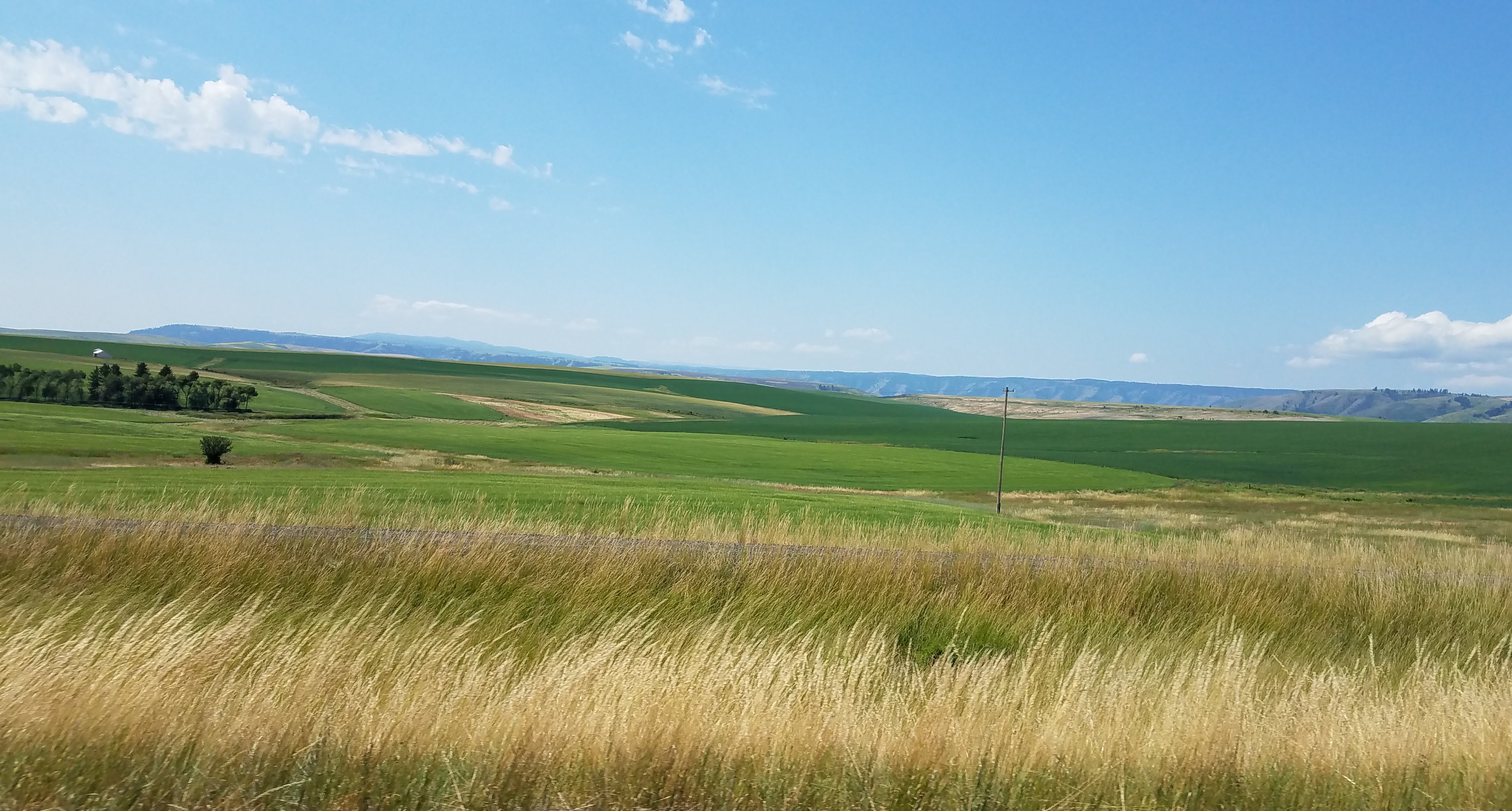
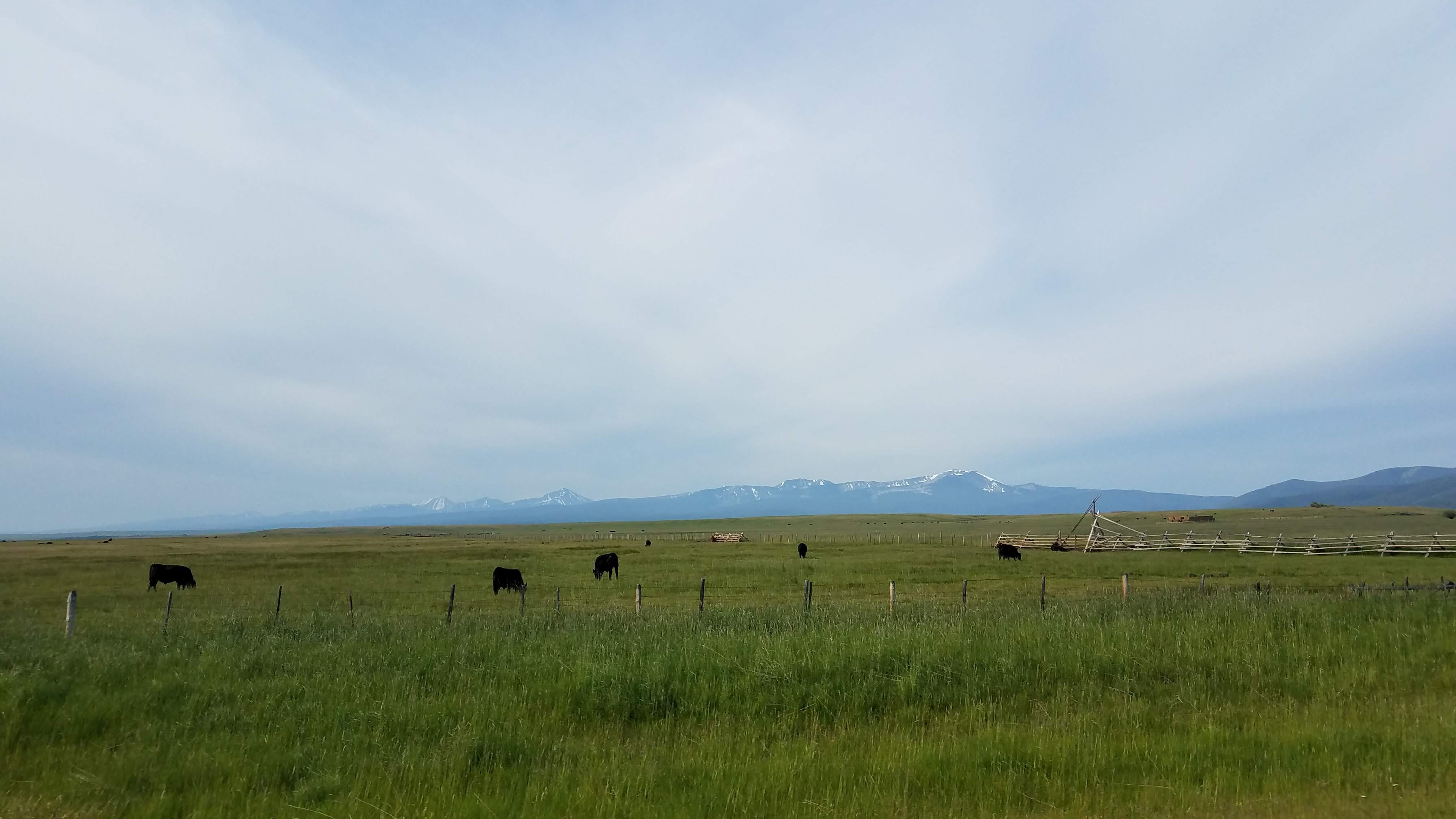
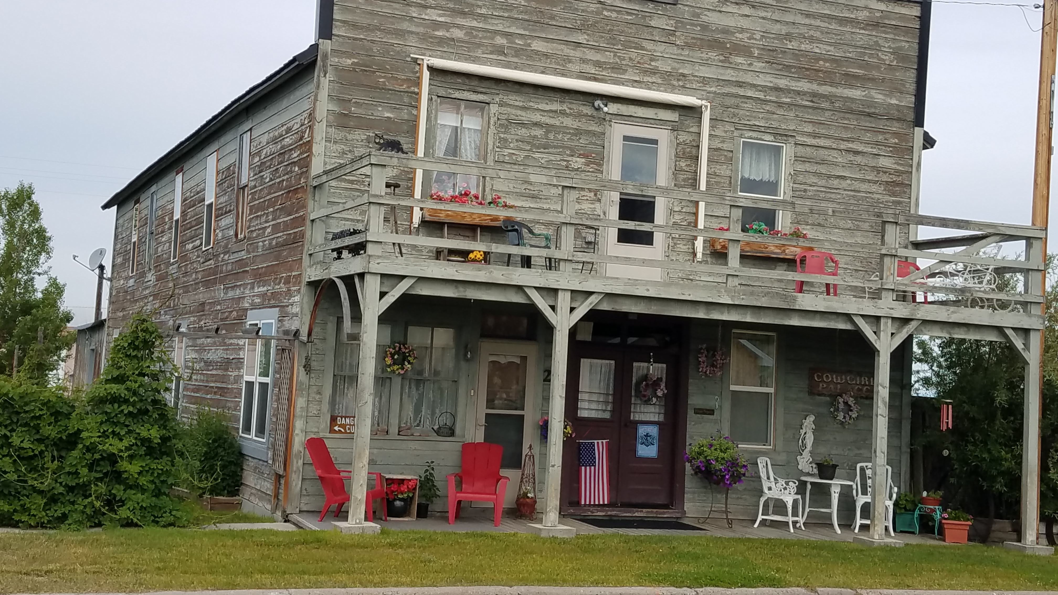
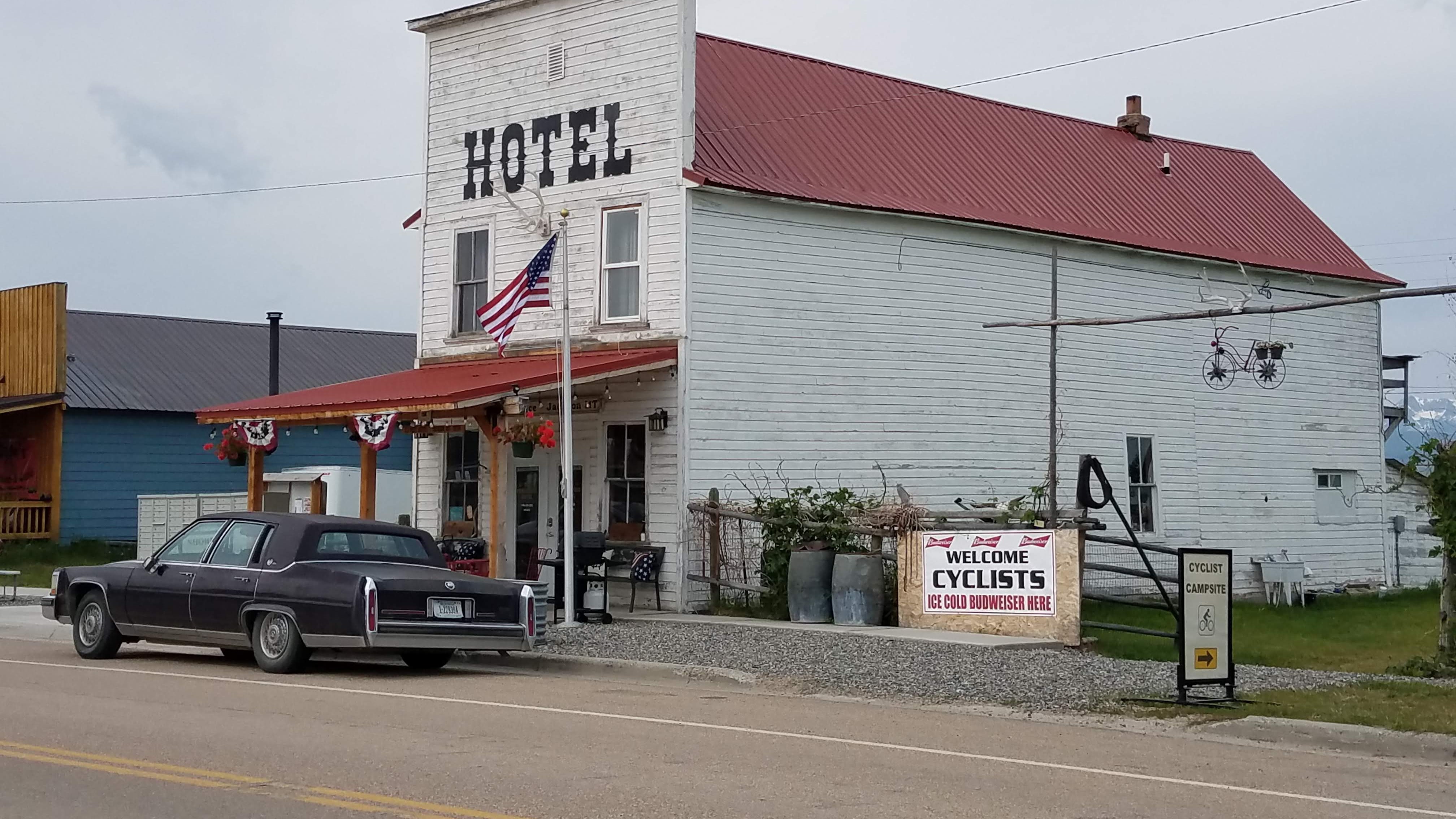
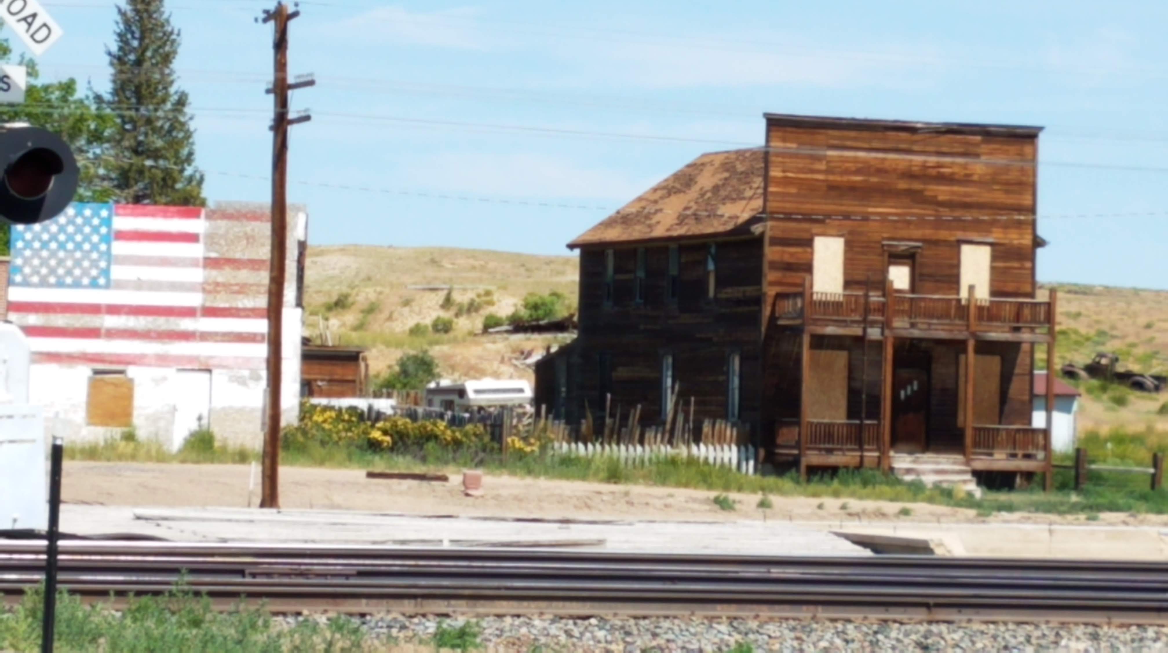
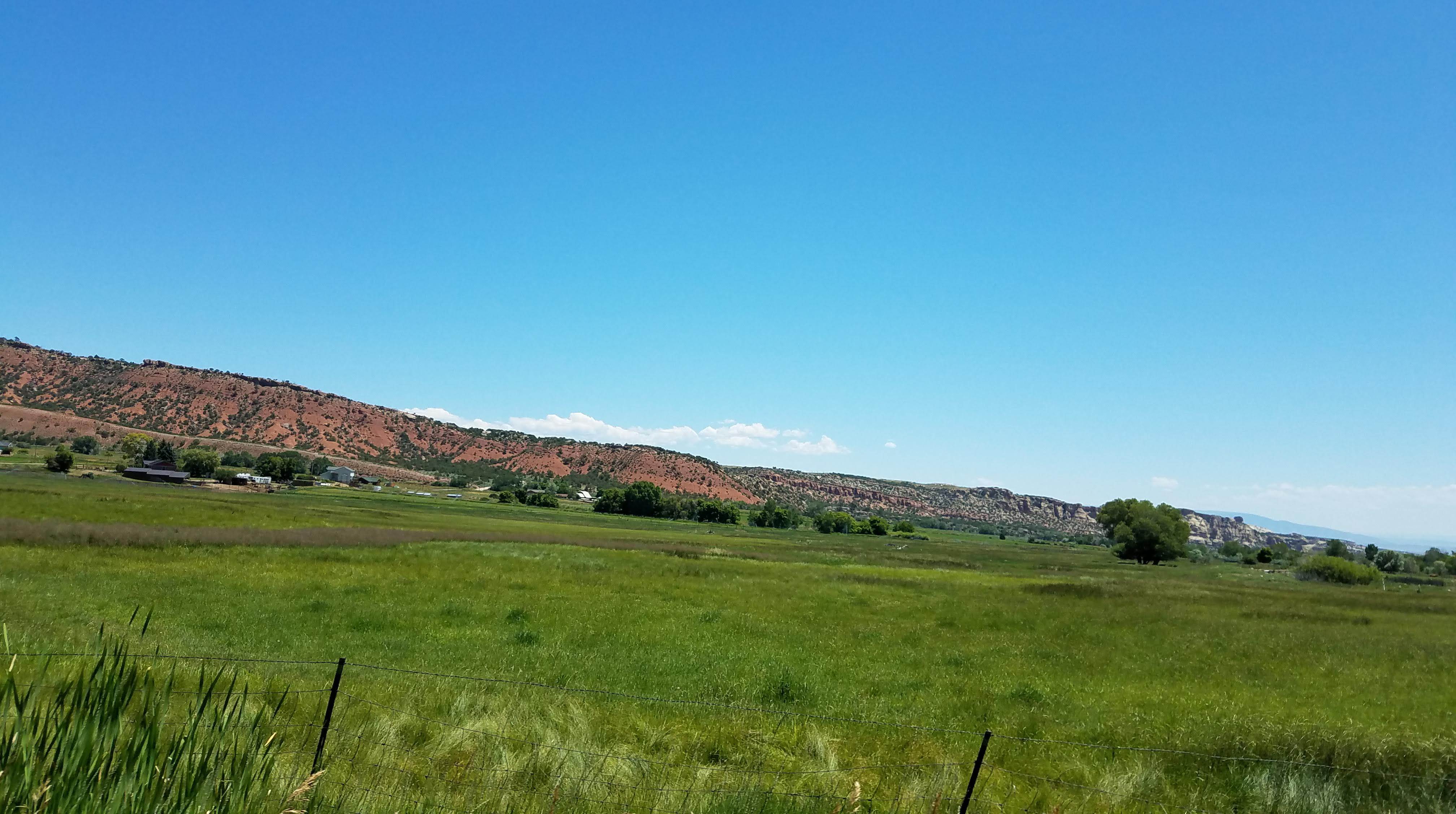
Through the town of Jackson (not Hole). Much of the “old” town remains. There is a hotel, next to it is The Cowgirl Palace(!) which is right across from the LDS chapel. The elevation here is 6,000′ with a very “big” sky, mountains, rolling hills, huge prairie in the middle.

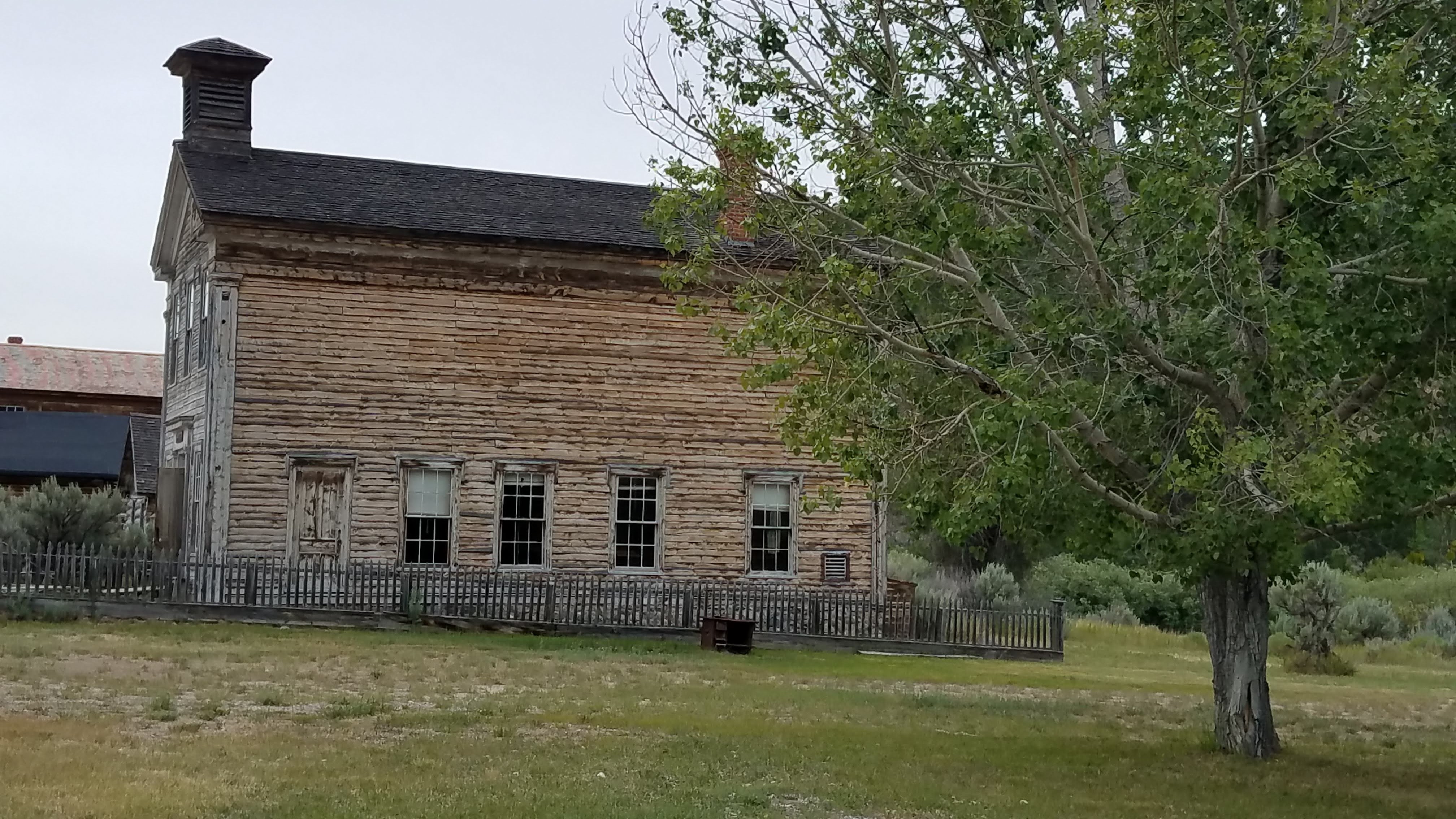
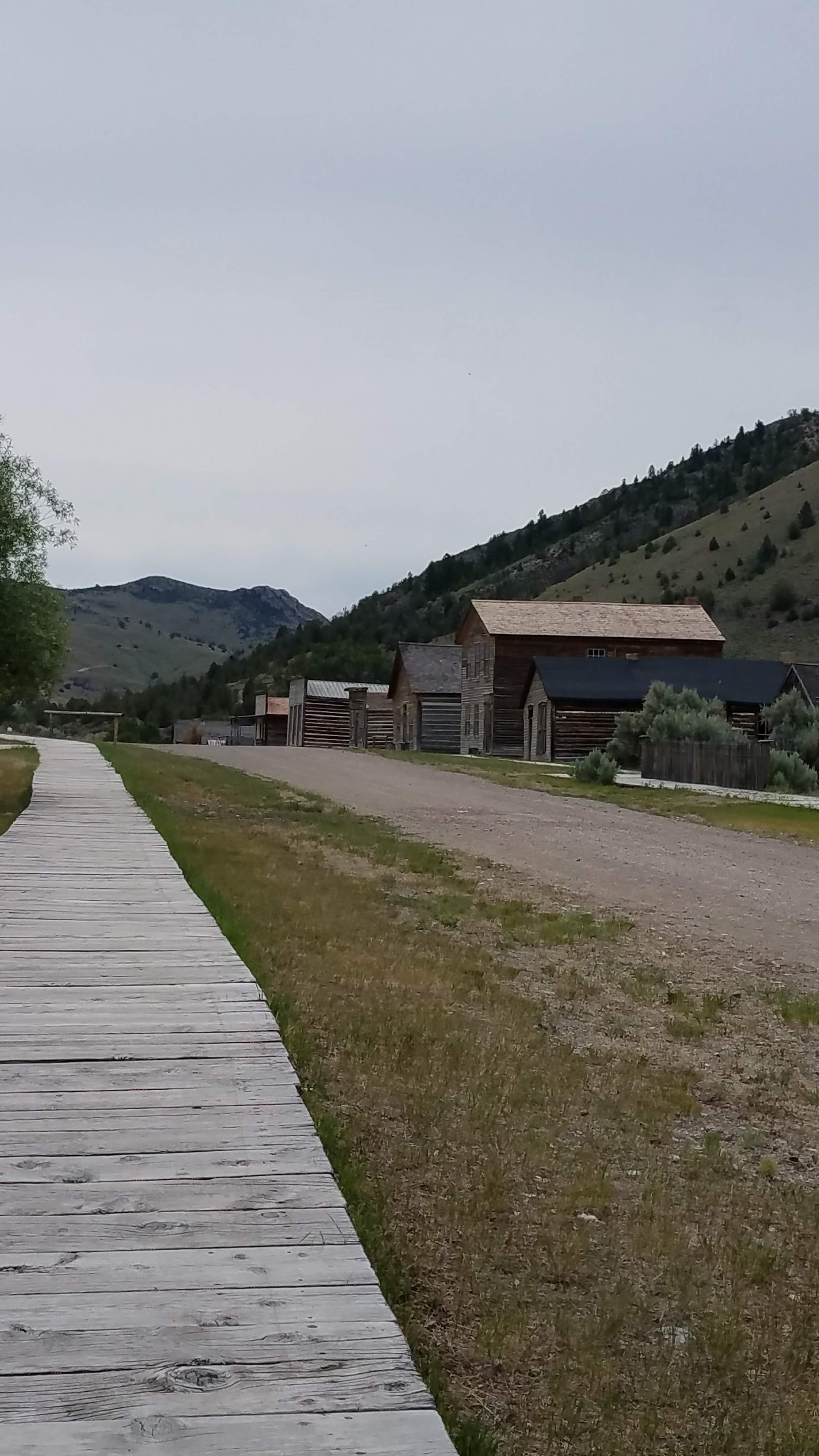
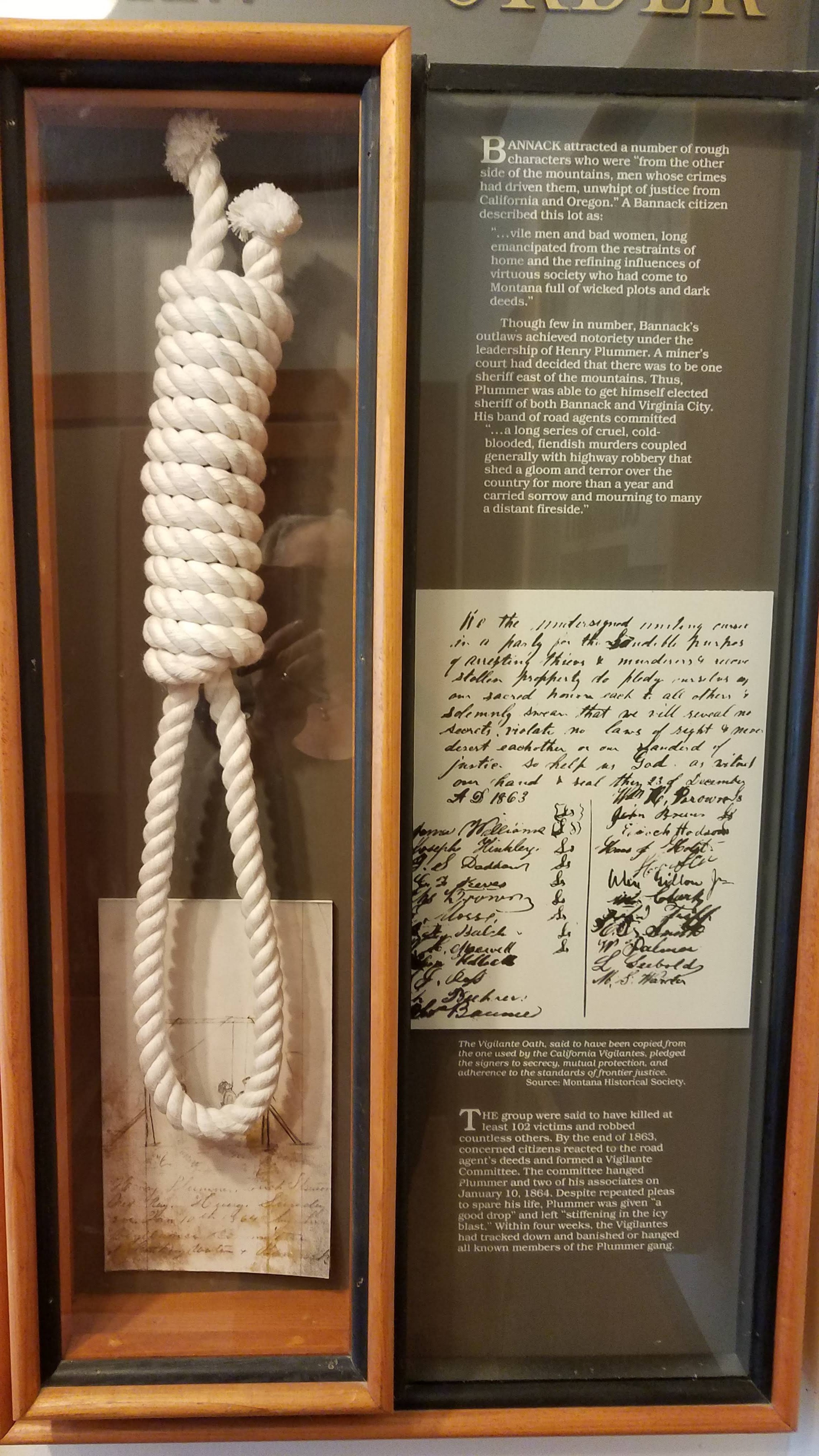
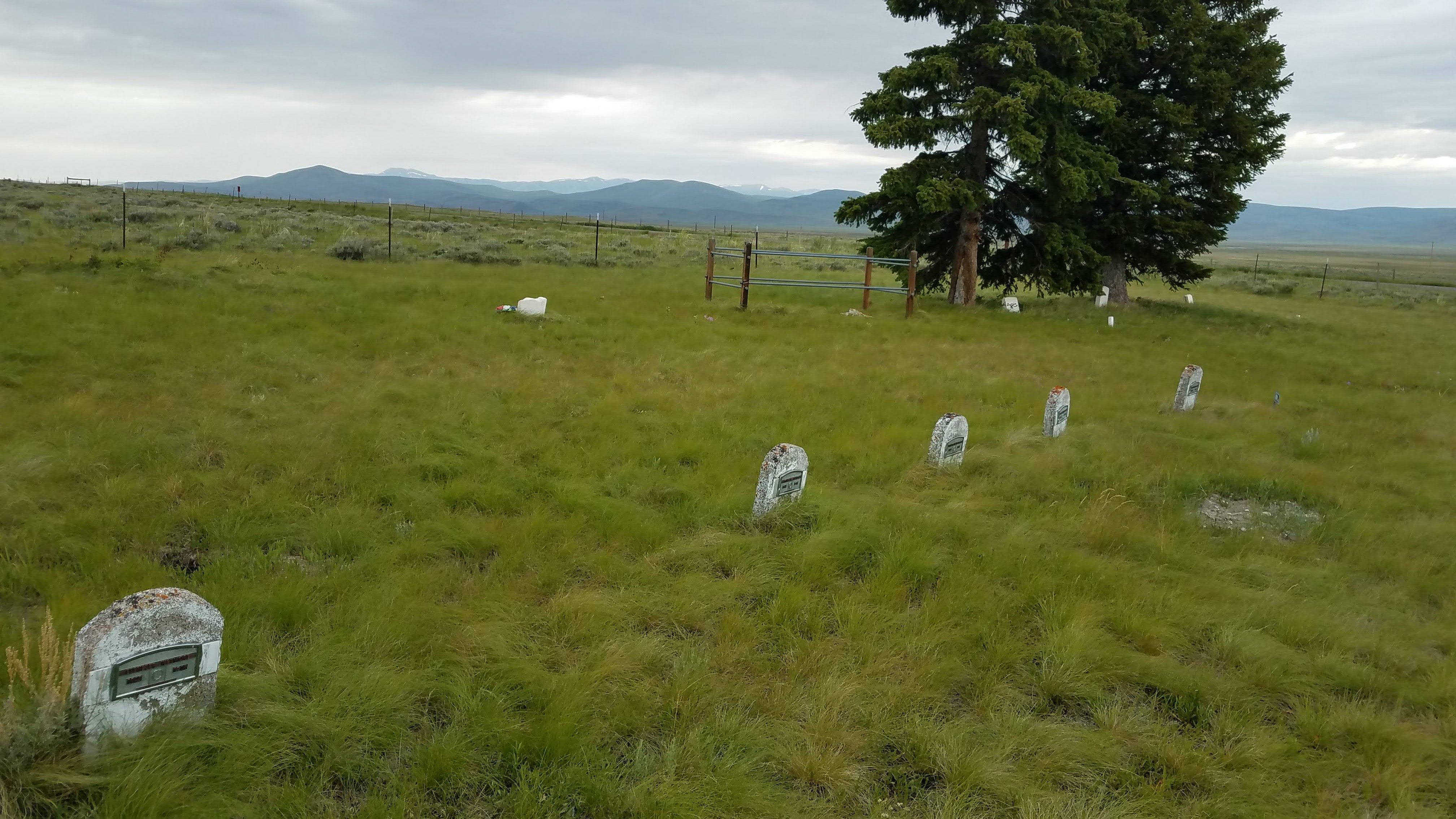
Continued on and stopped in the old mining town of Bannack. Well preserved buildings and, again, interesting history. The town was pretty wild and one of the wildest, Henry Plummer, won the hearts of the town, making him the Sherrif (he also won over the folks in Virginia City and served both towns). Once installed Sherrif Plummer and his crew went about robbing, thieving, and many other horrifications pushing the townsfolks to follow in the footsteps of a group in California in a similar situation. They formed the Citizens Vigilante Committee, an ultra secret society, and took matters into their own hands eventually “leaving Plummer hanging into the inky depths.”

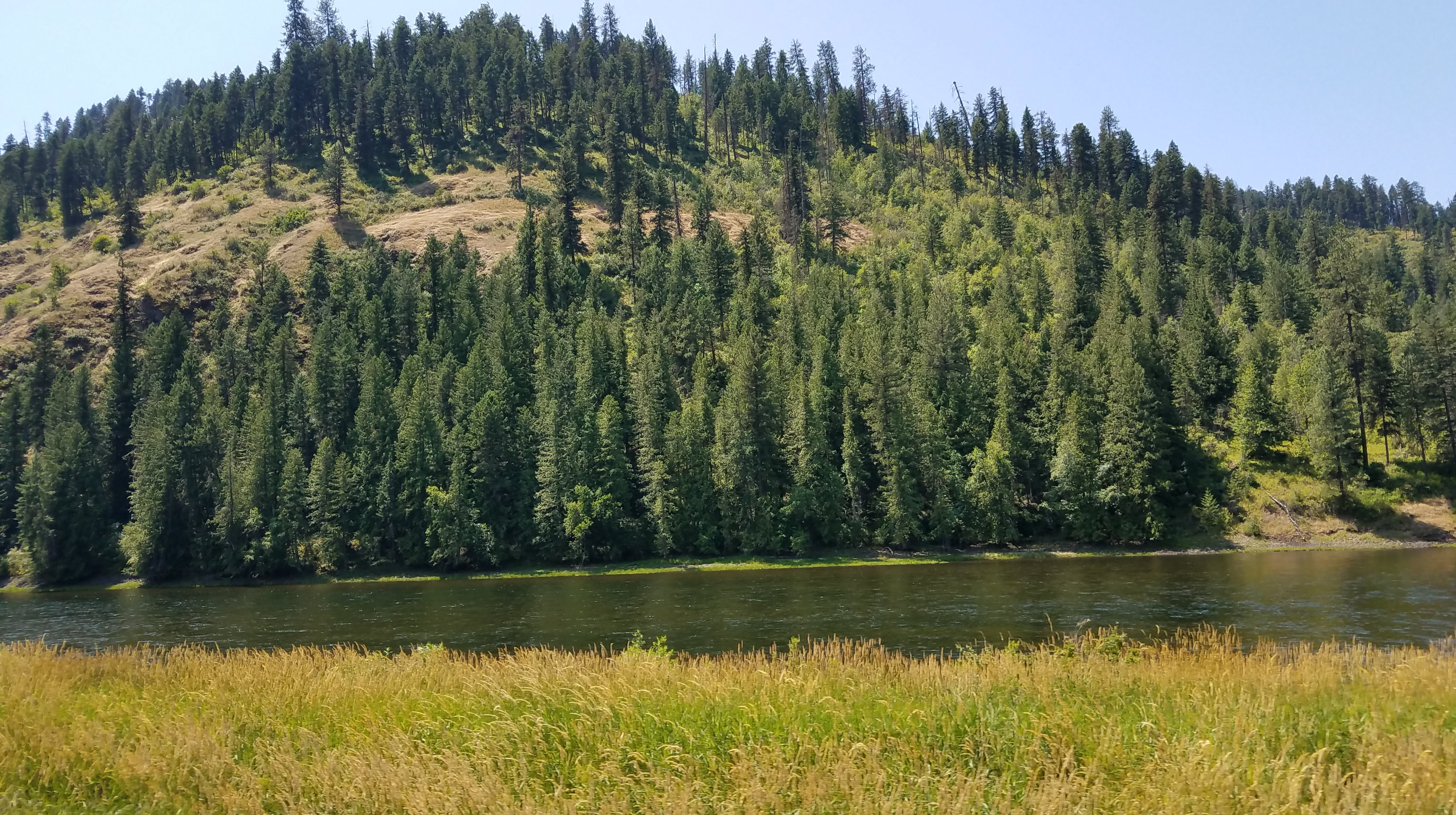
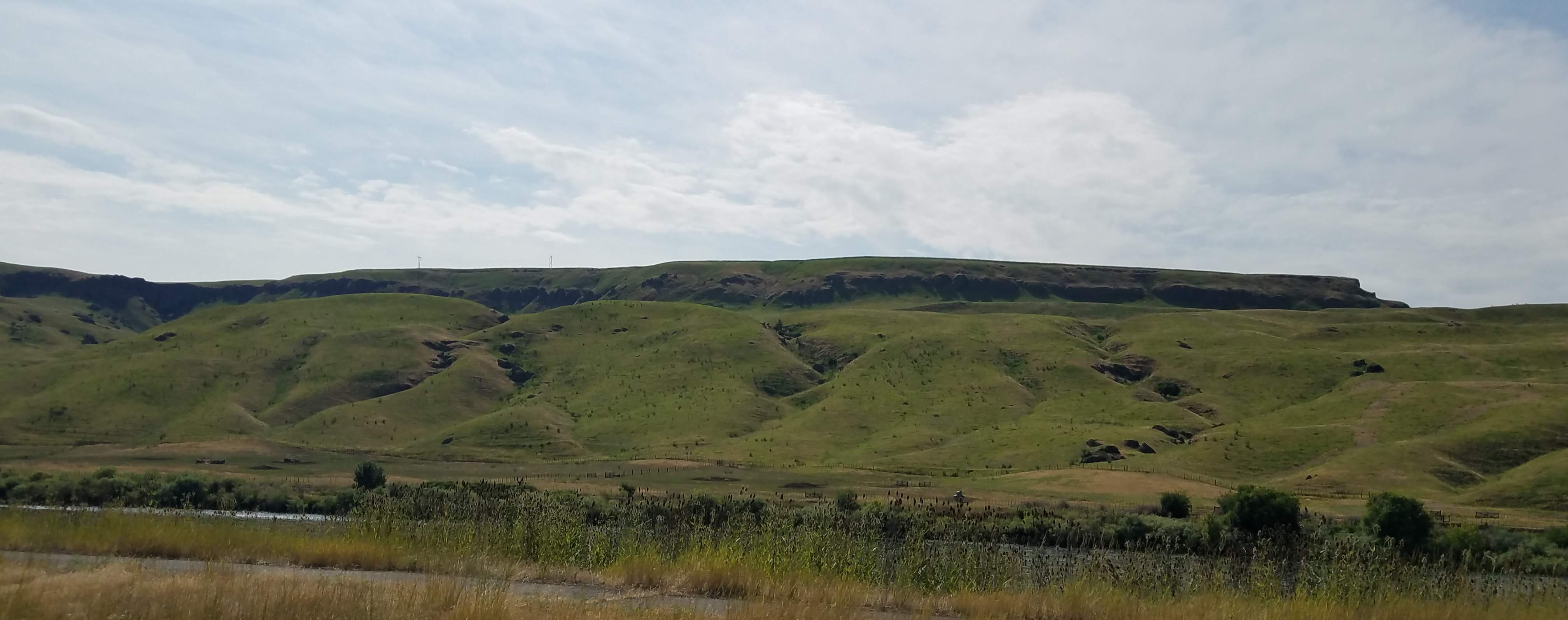
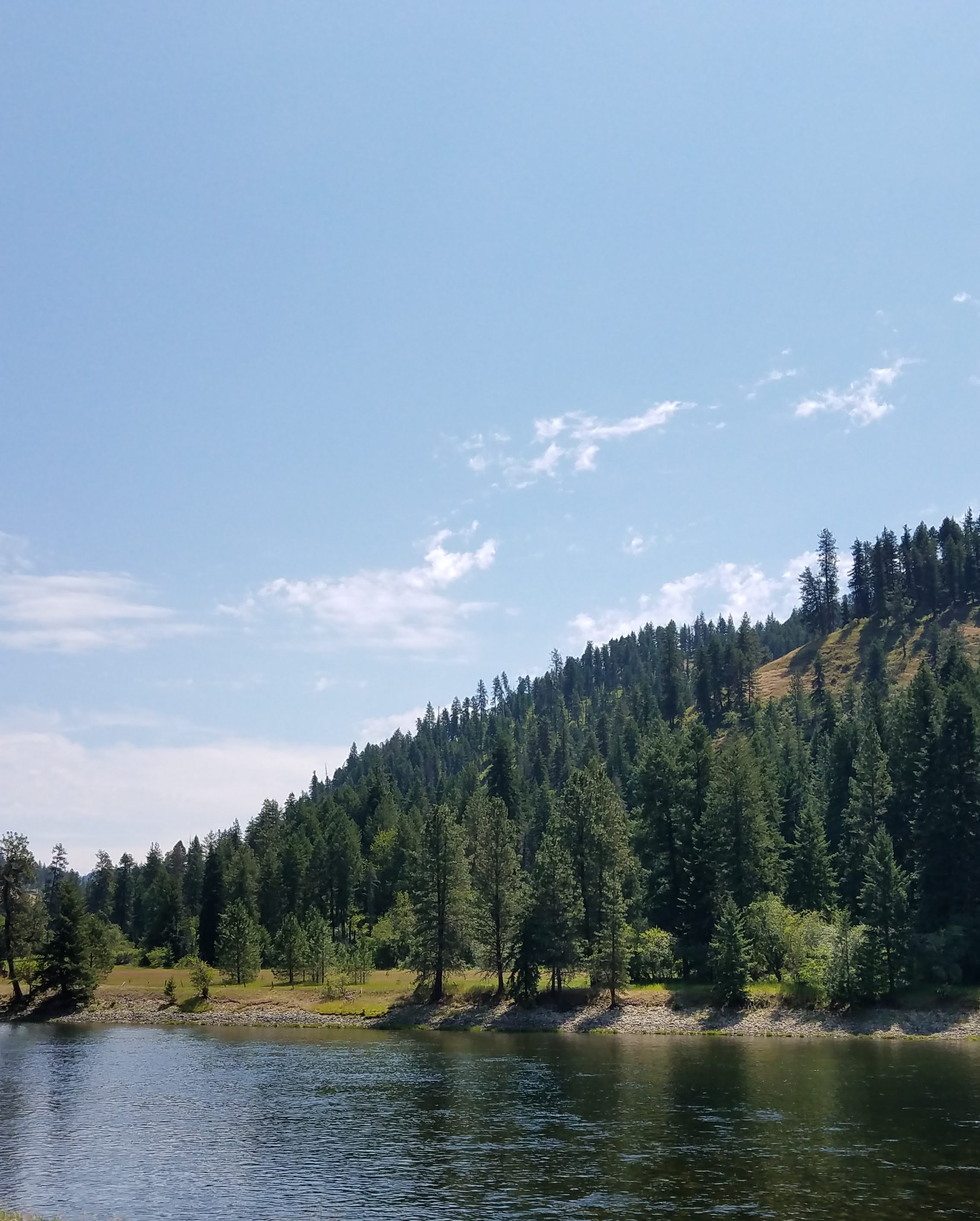
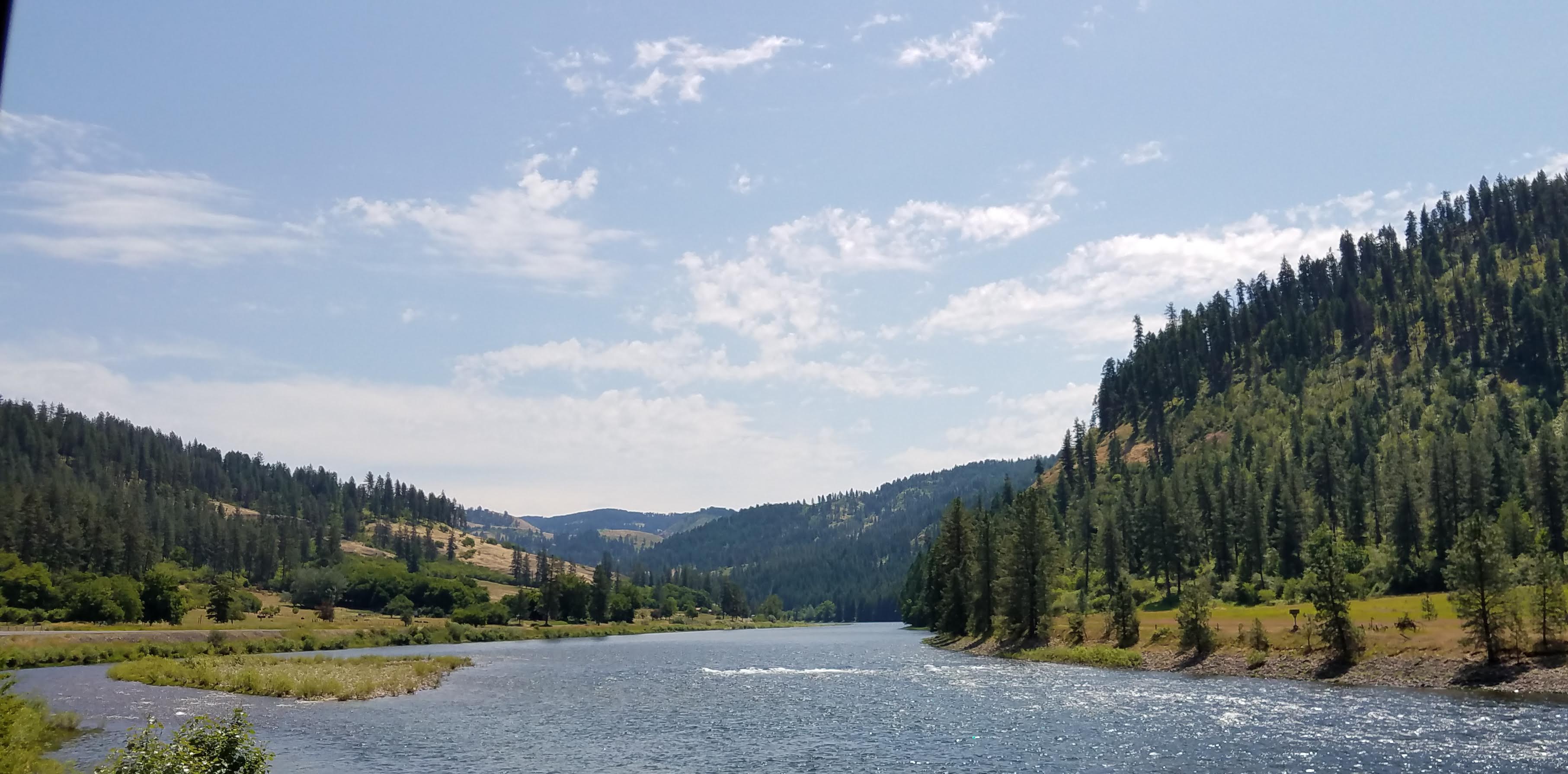
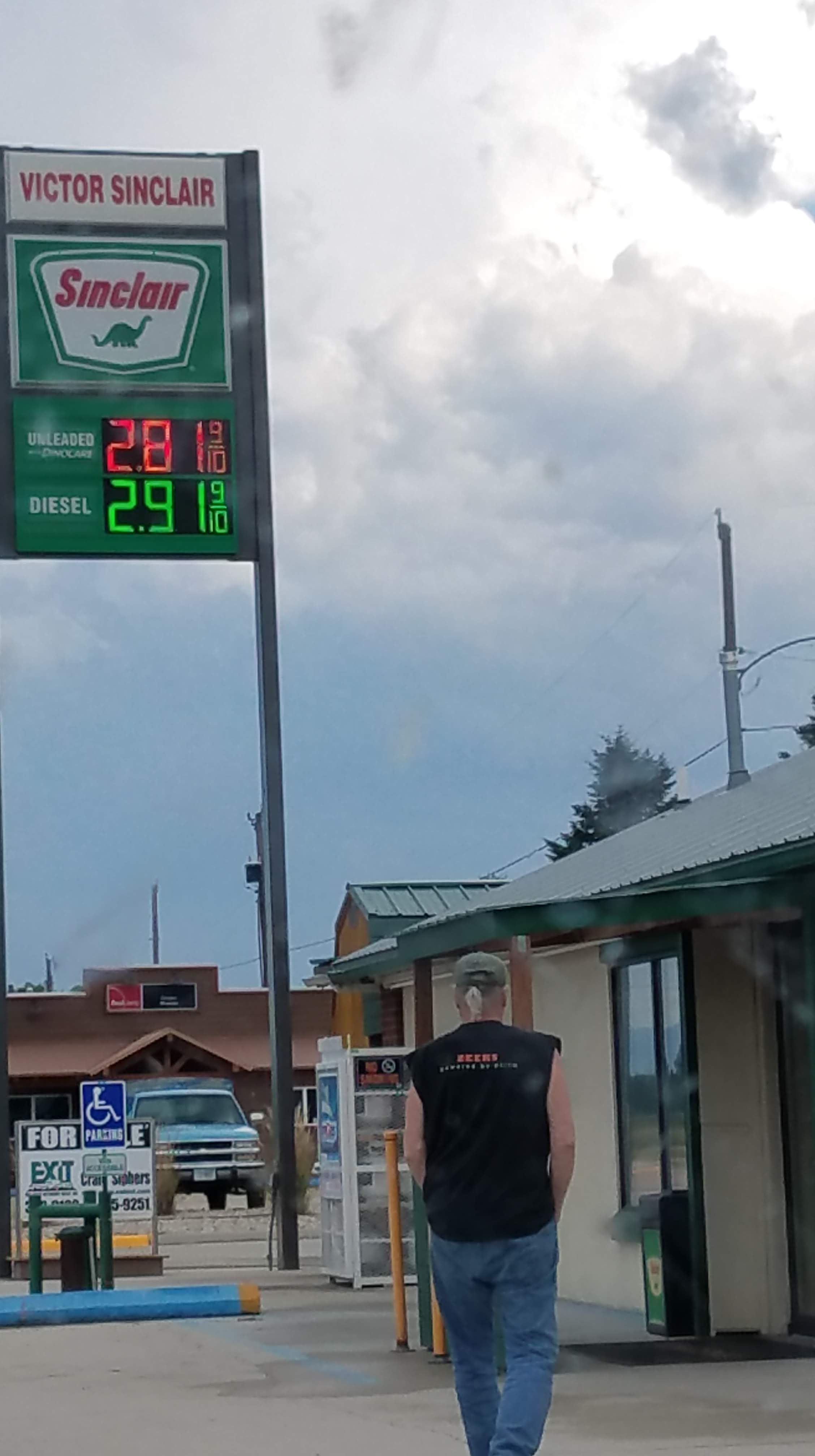
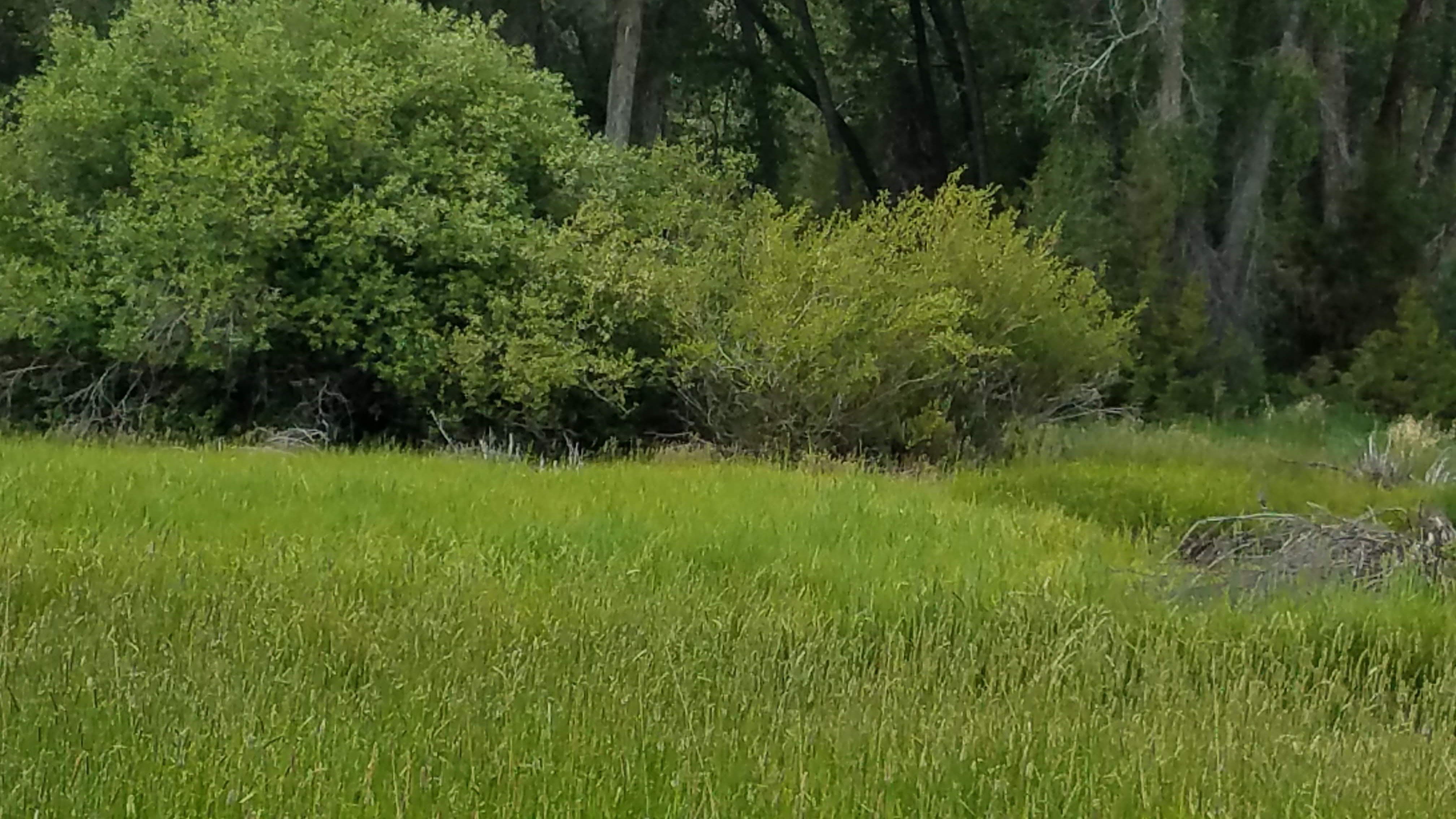
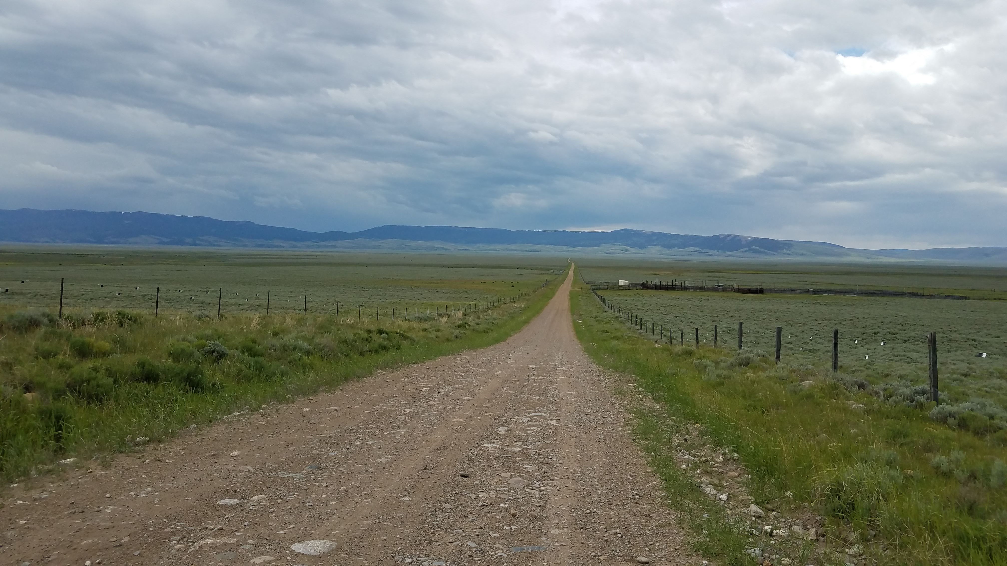
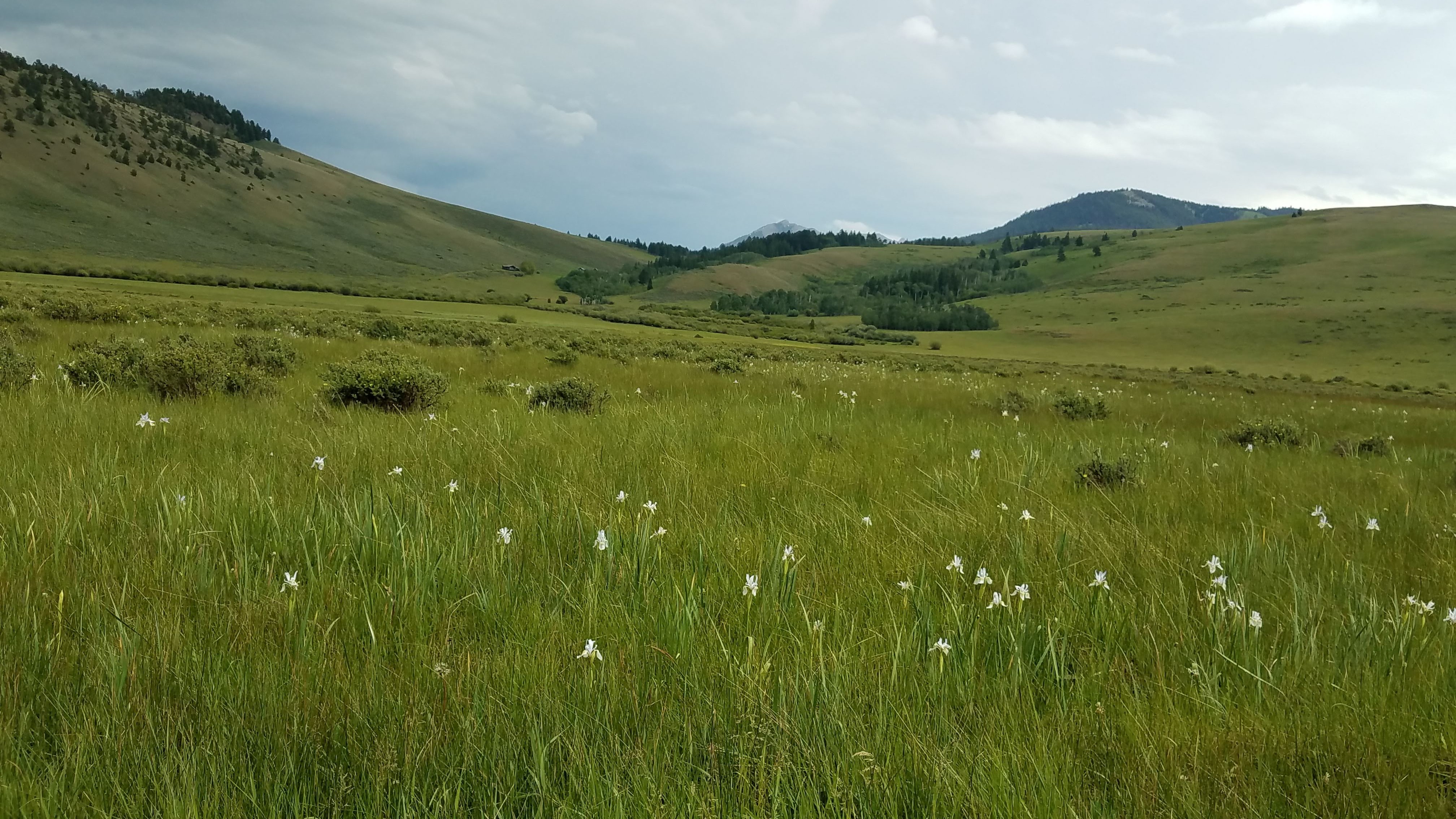
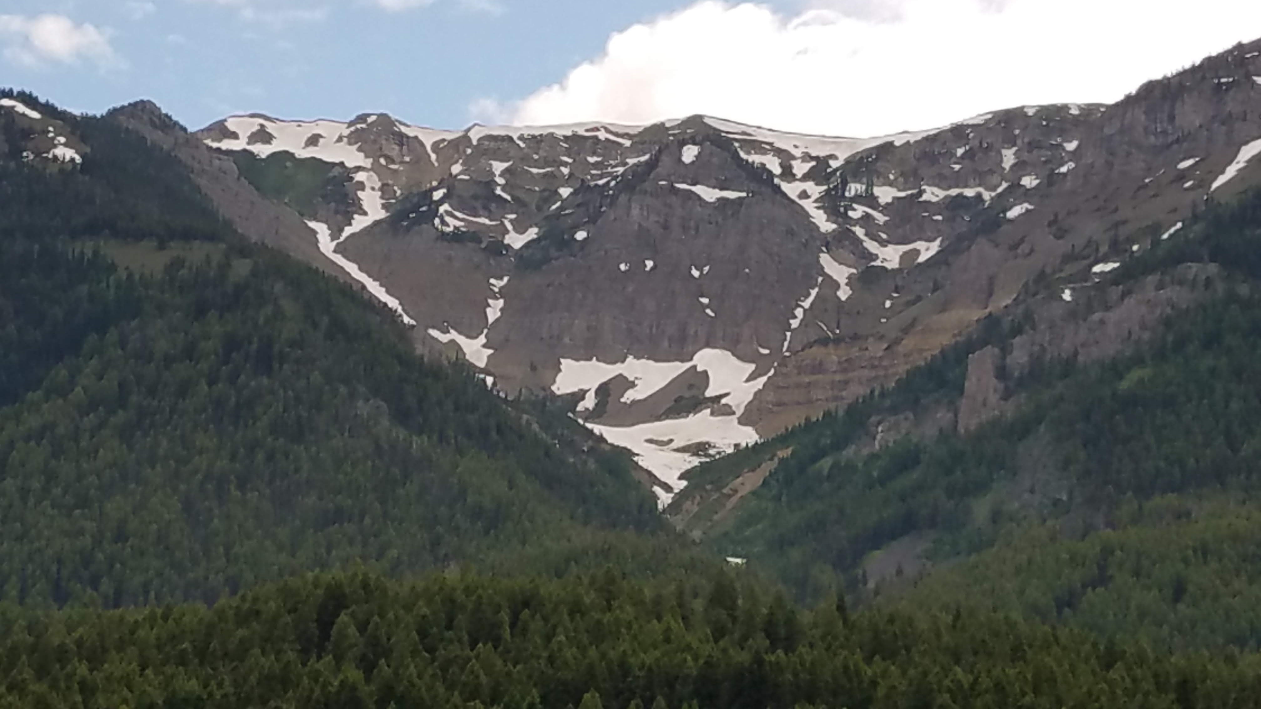
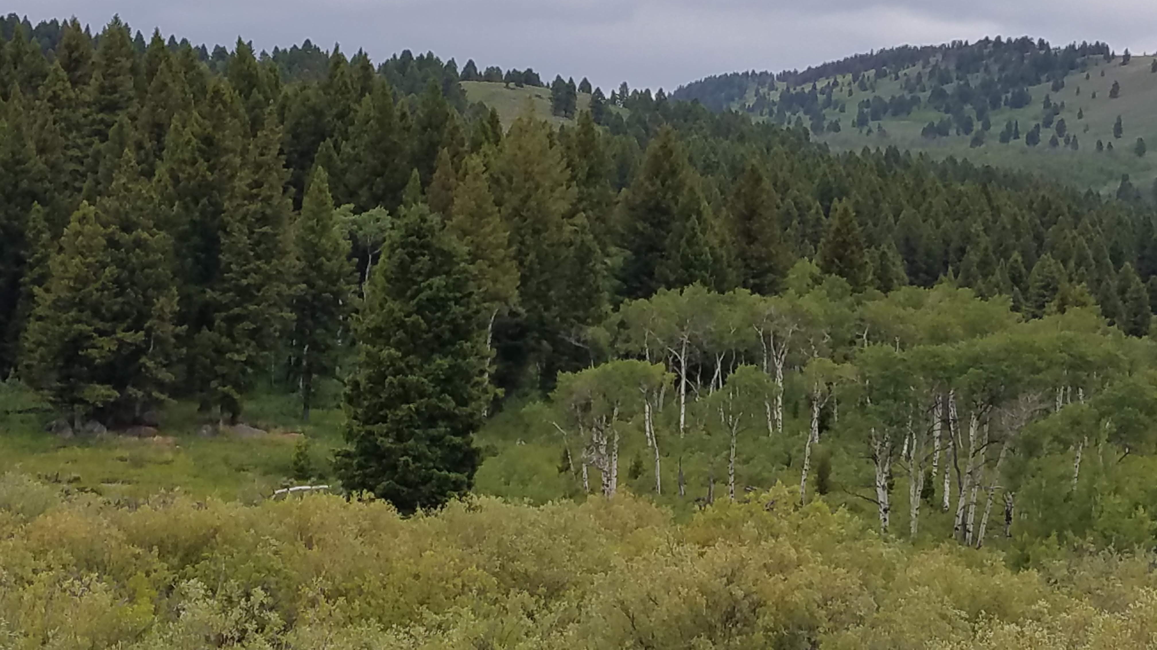
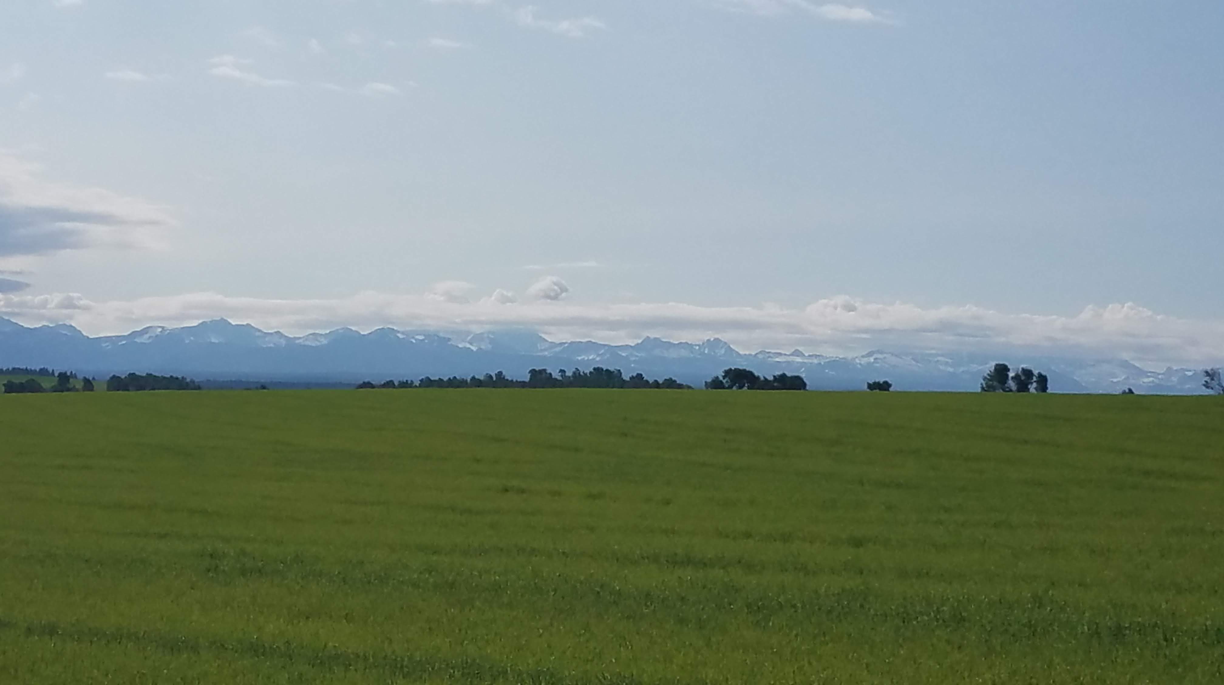
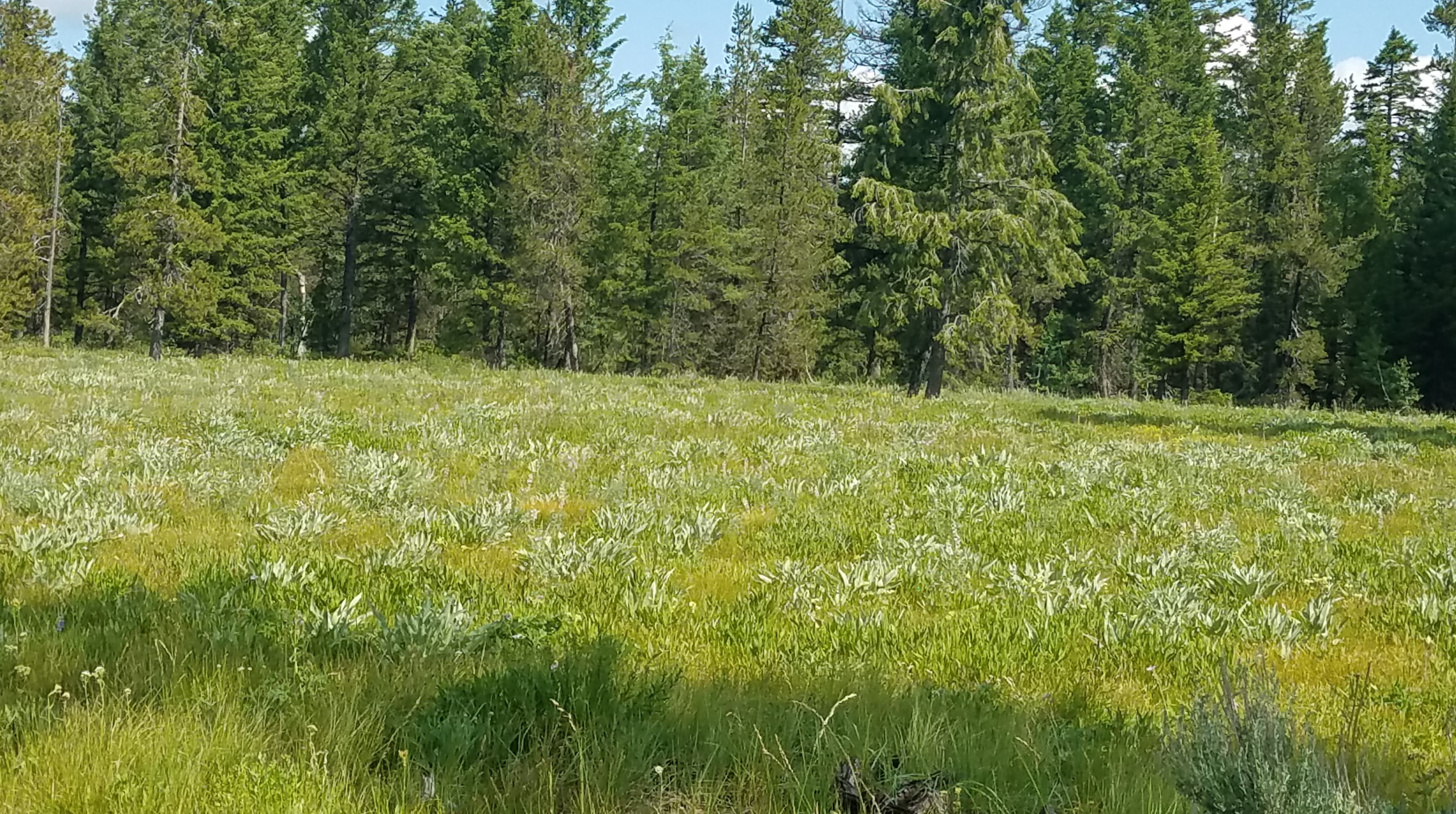
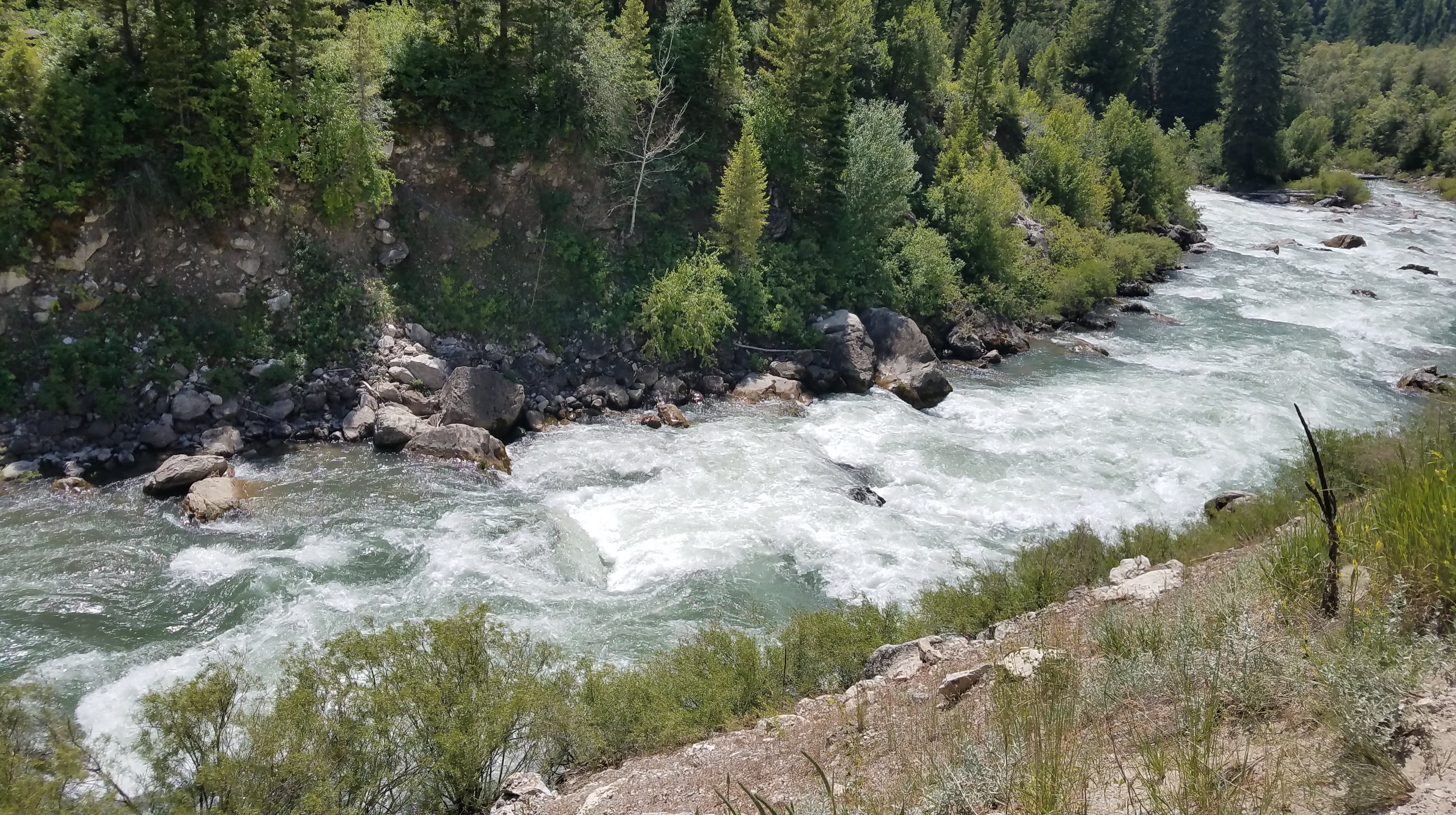
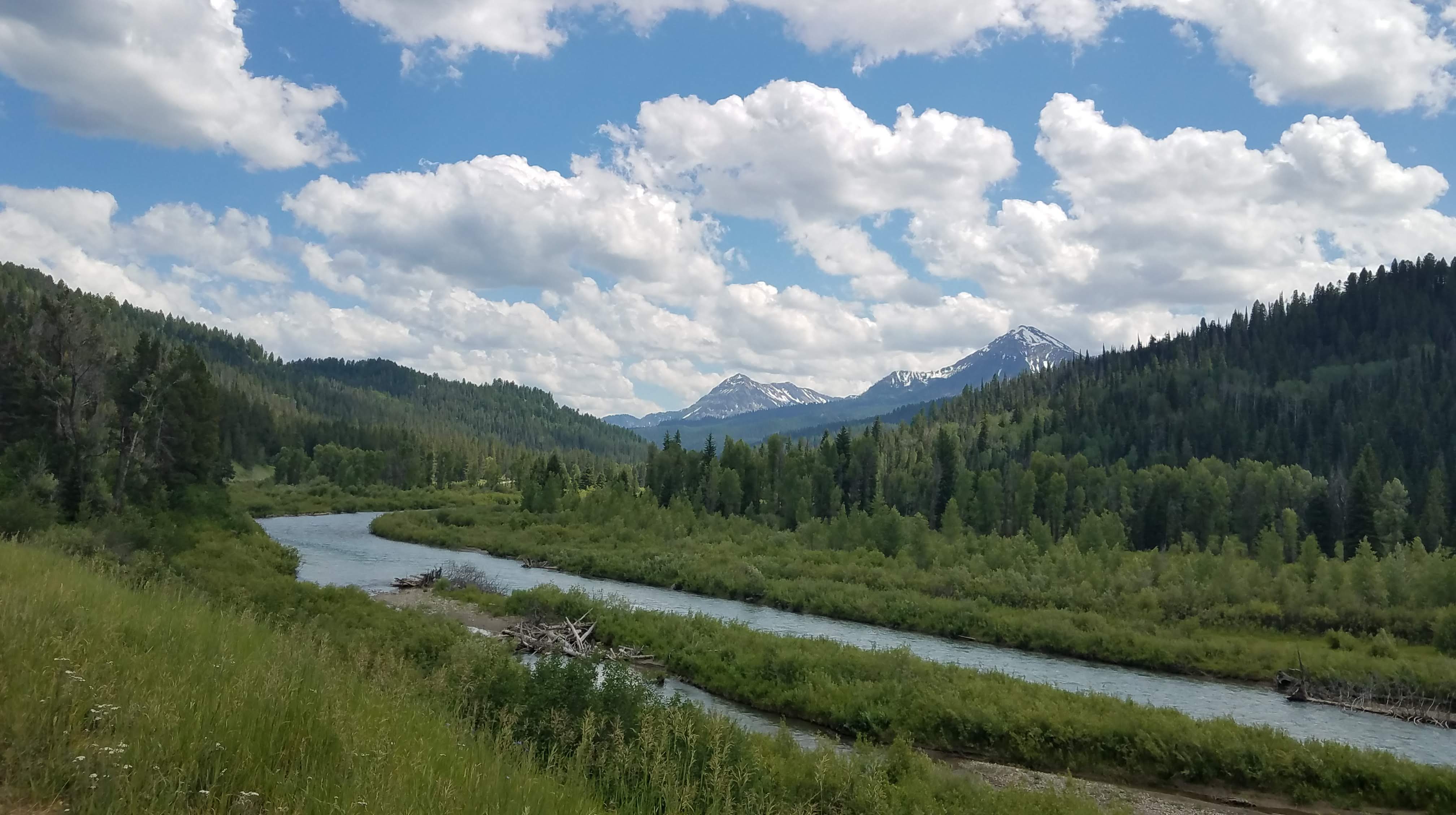
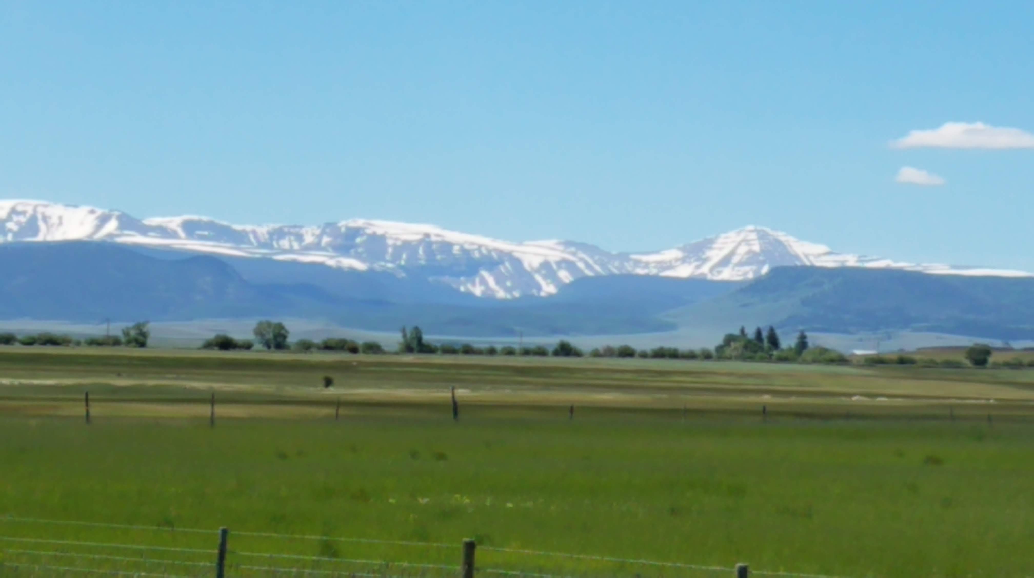
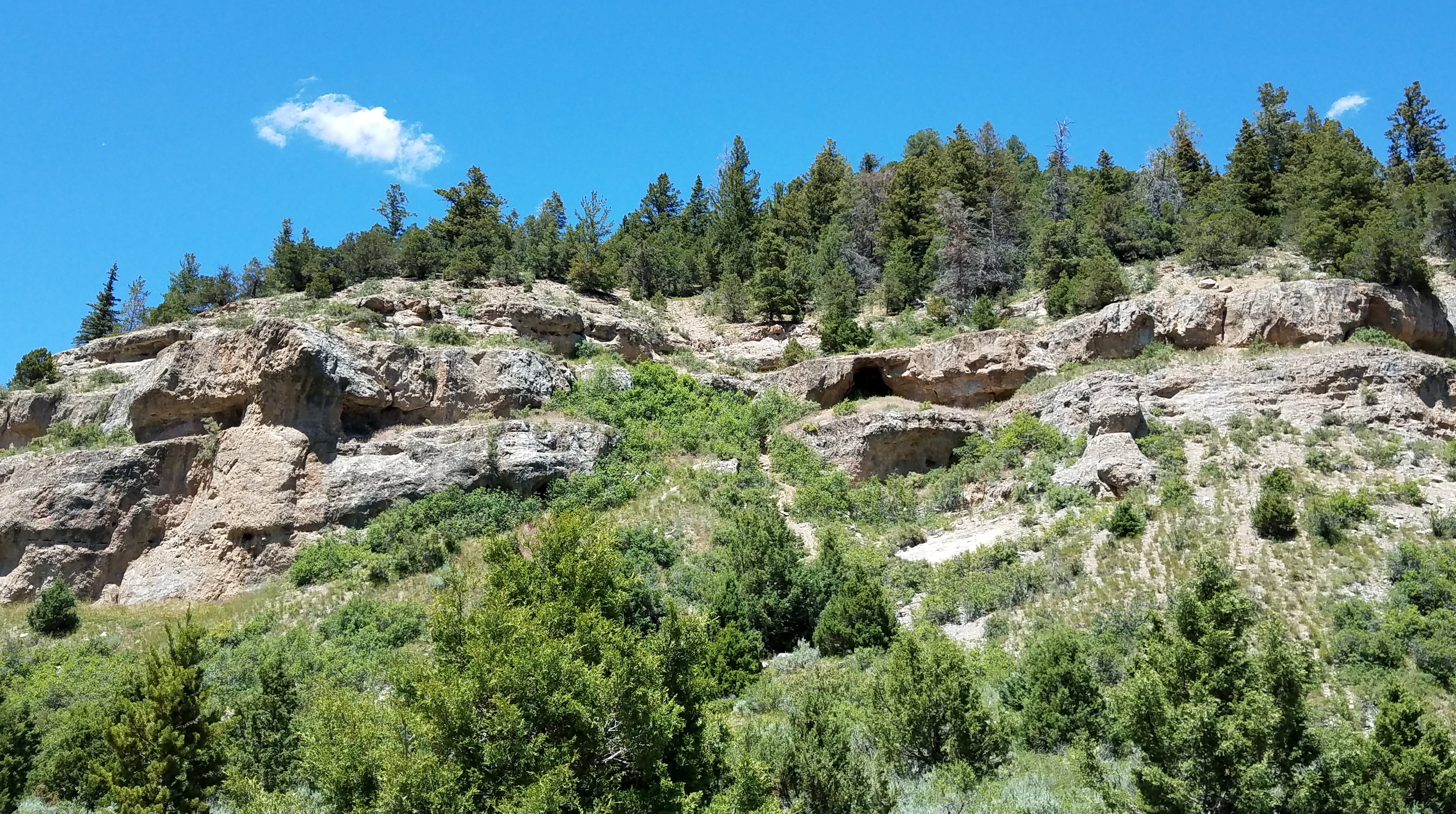
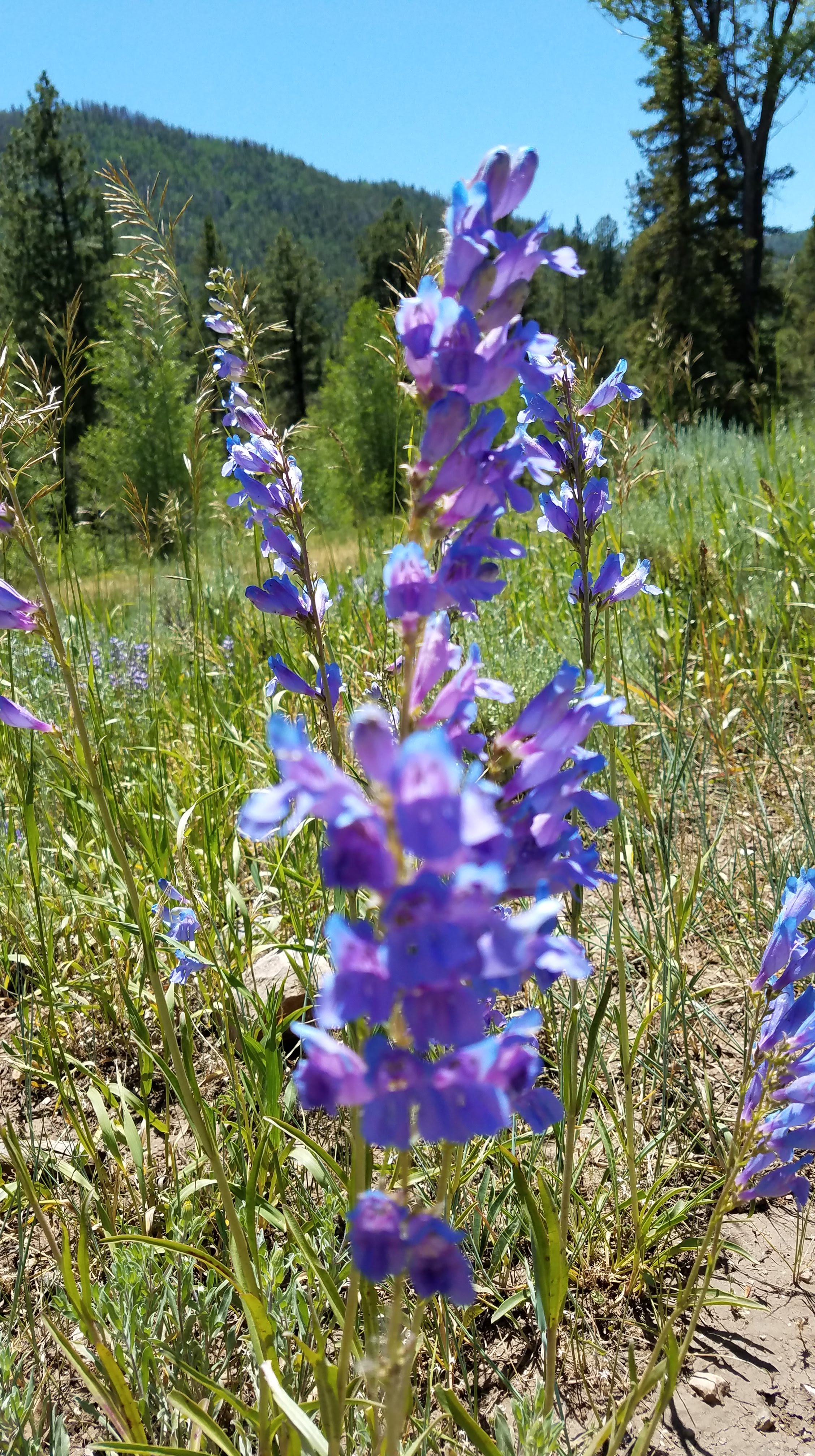
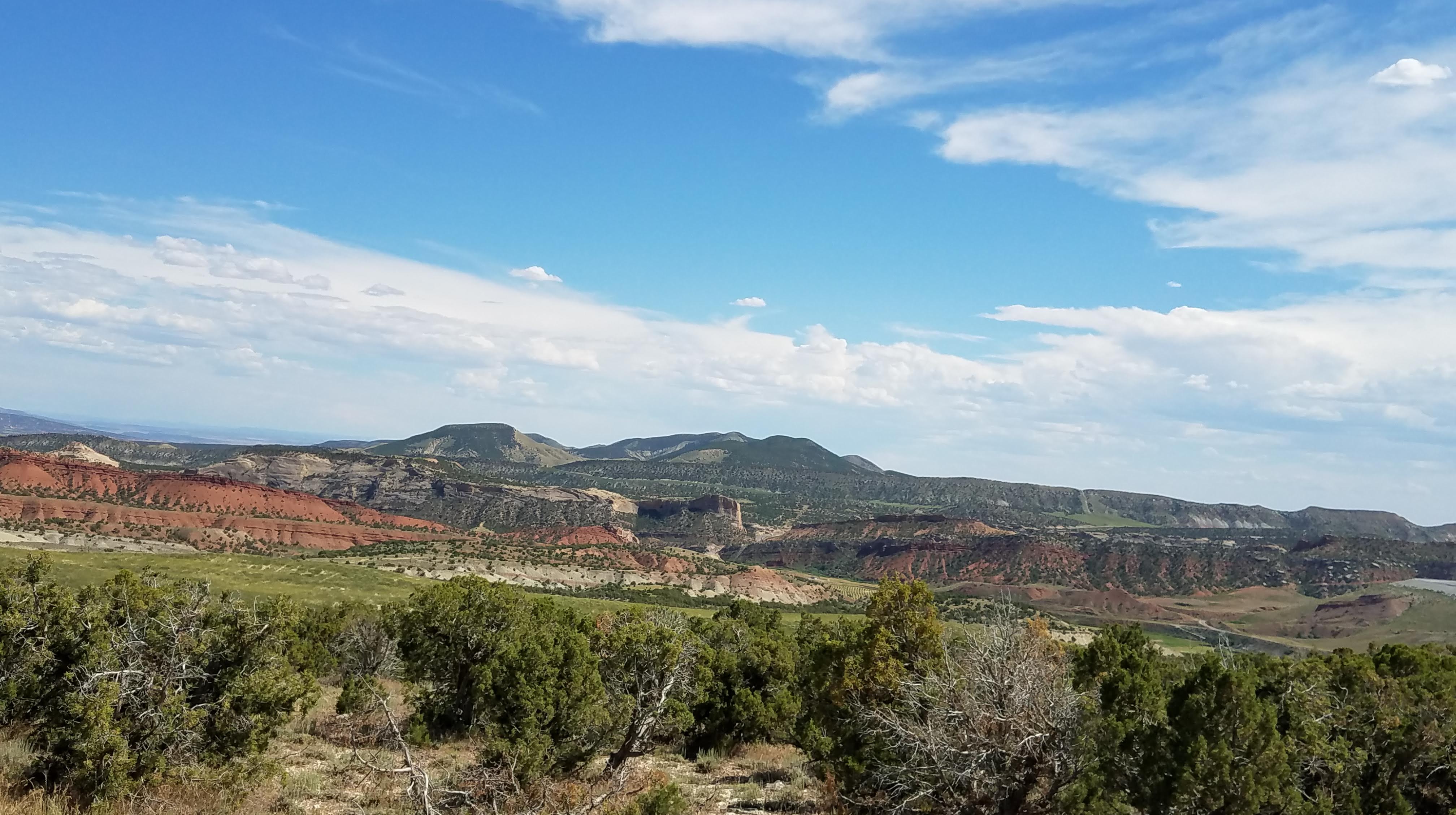
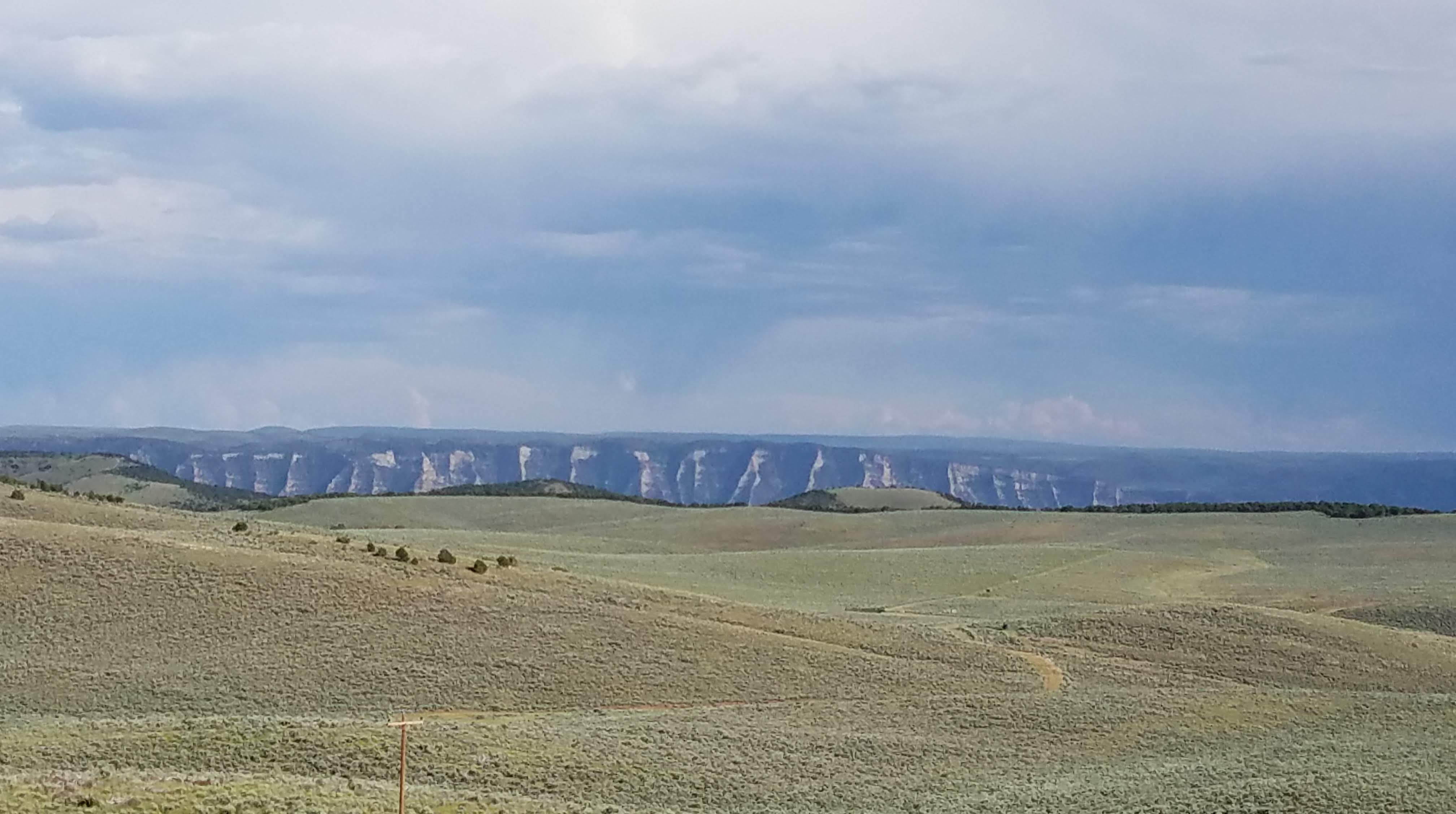
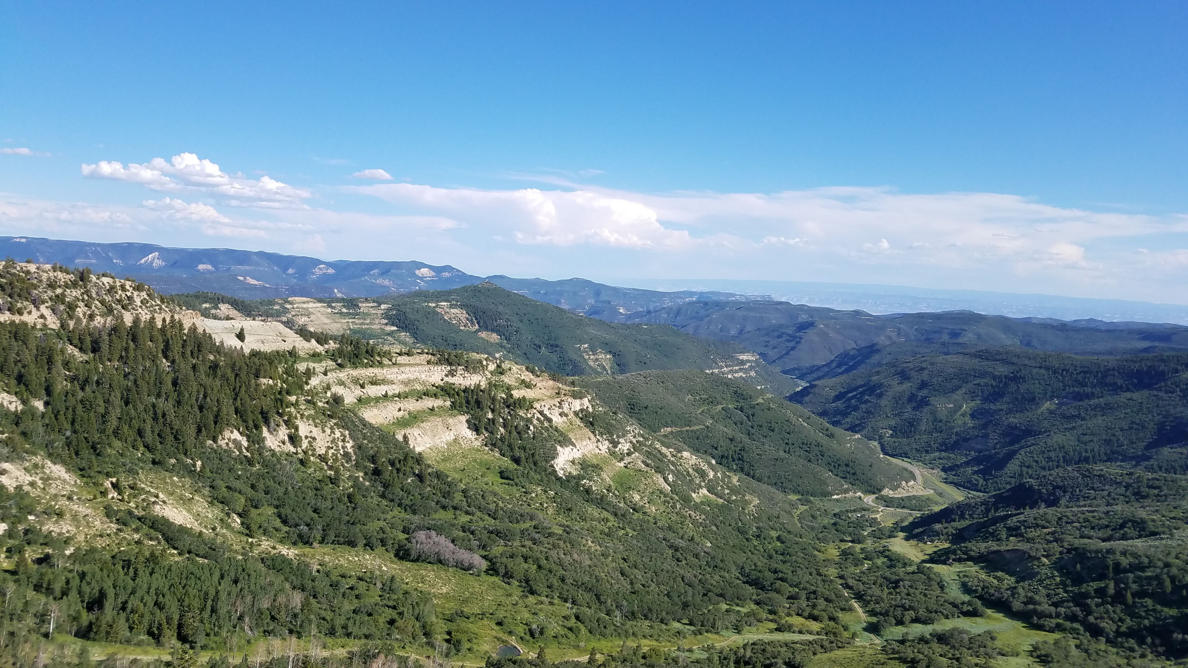
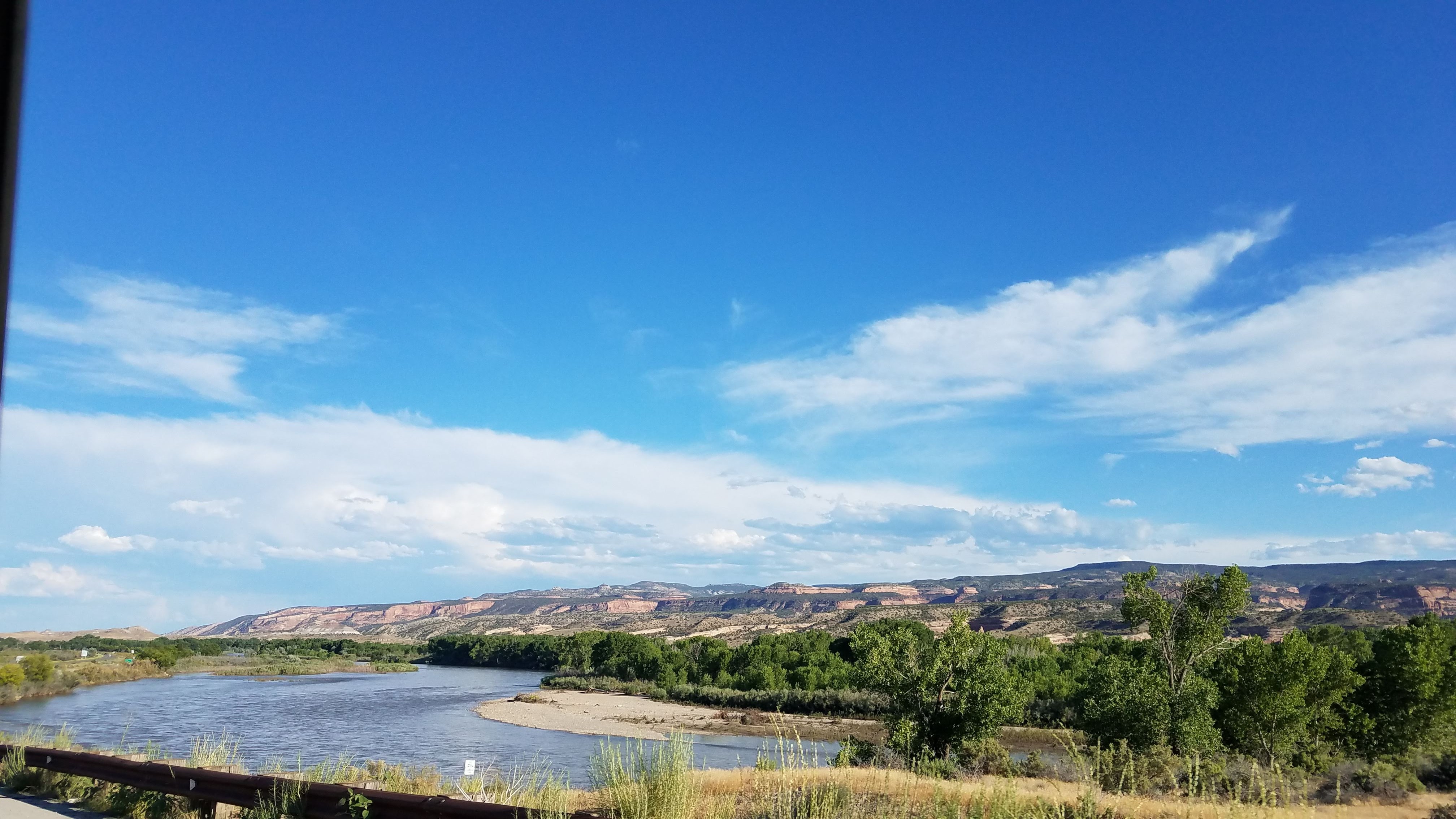
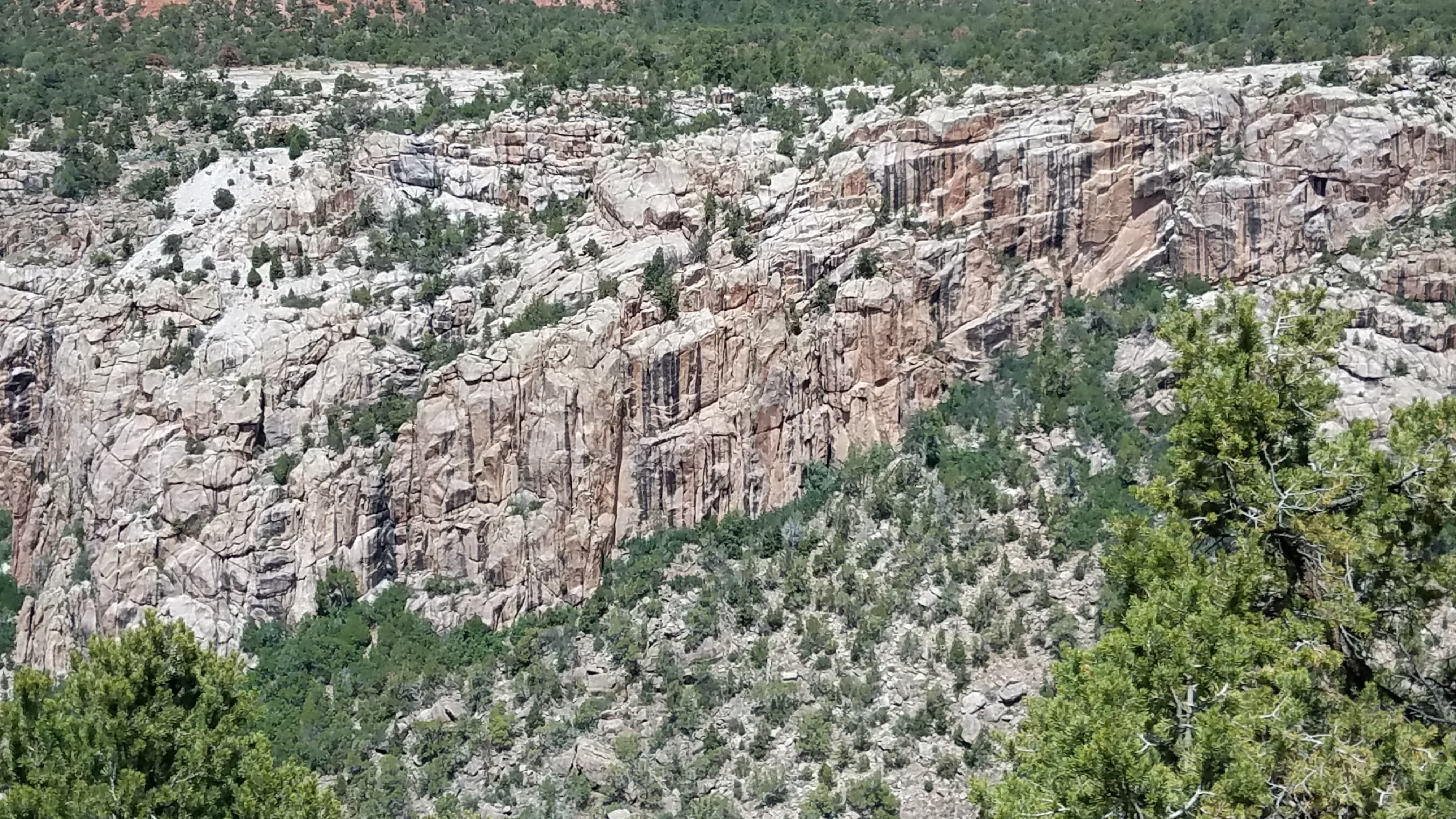
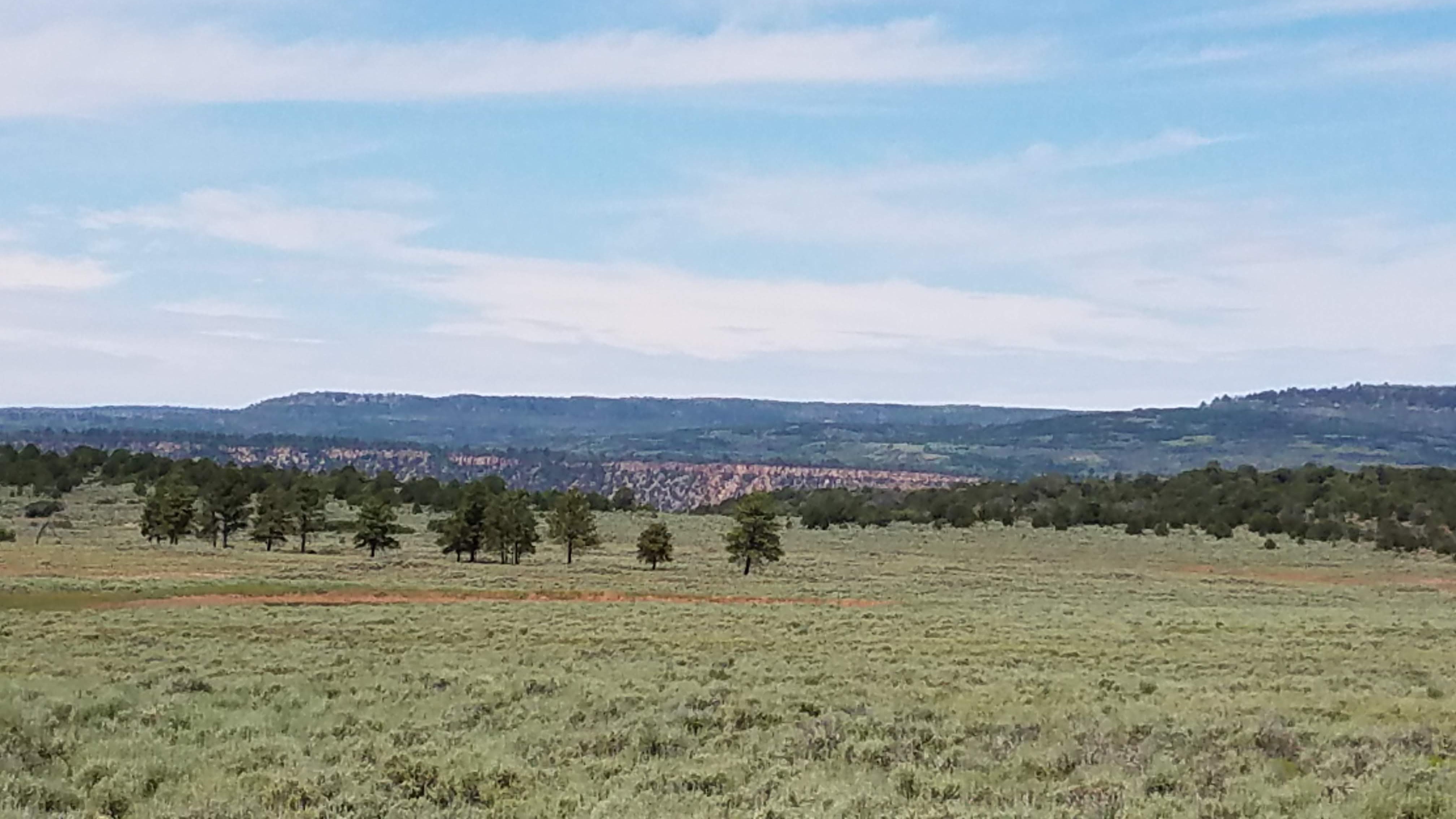
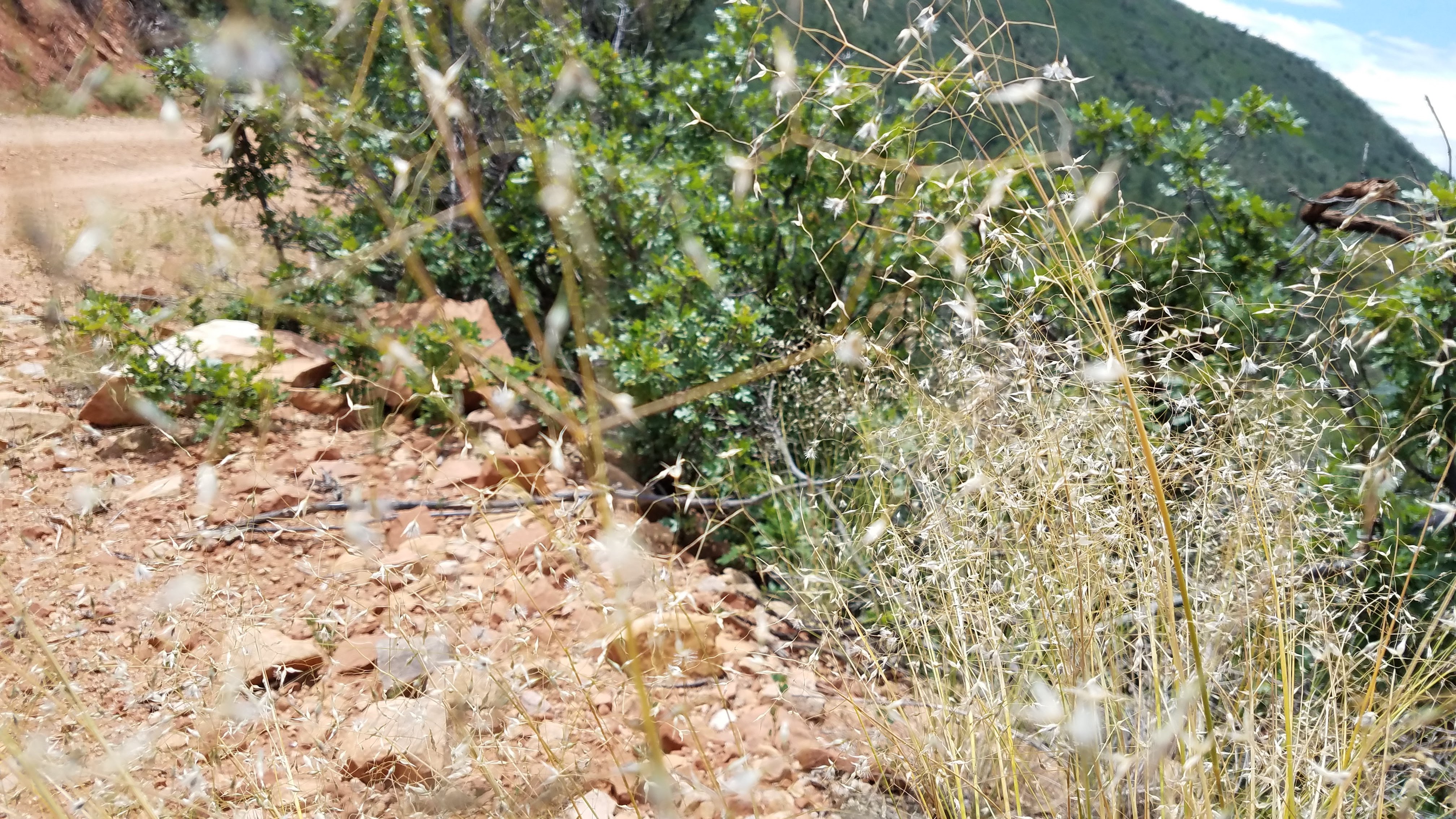
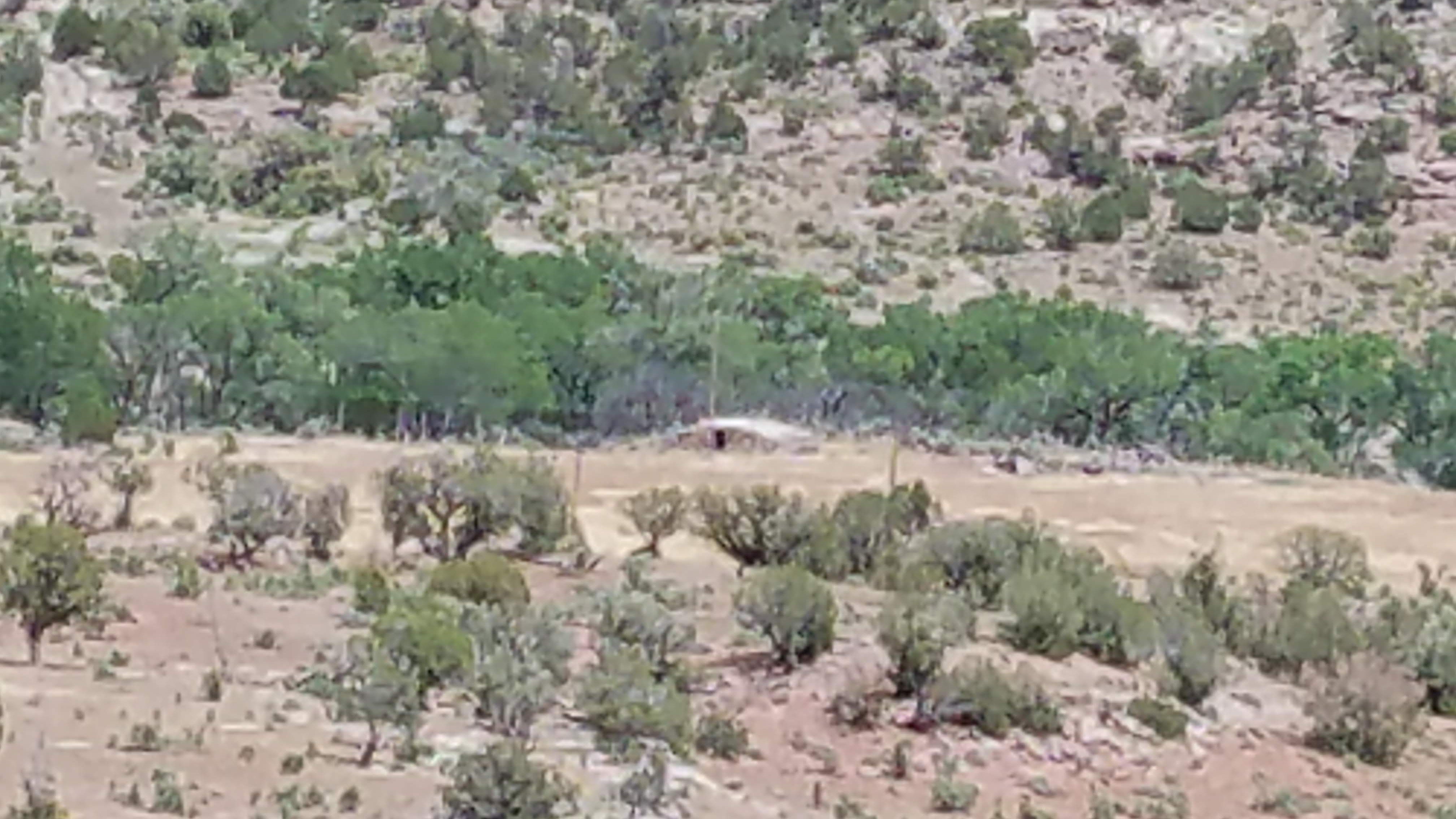
Gas in Dillon ($2.77!) and on to Black Tail Road in the Bitterroot Mountains. Beautiful, velvet, green-gold hills with a back drop of the Snocrest Mountains and Beaverhead National Forest. Continuing into the Blacktail Range over Lyon’s Bridge into Red Rock Lake National Wildlife Reserve. It is not an exaggeration to say that both of us were in awe with the beauty of this area. Truly.

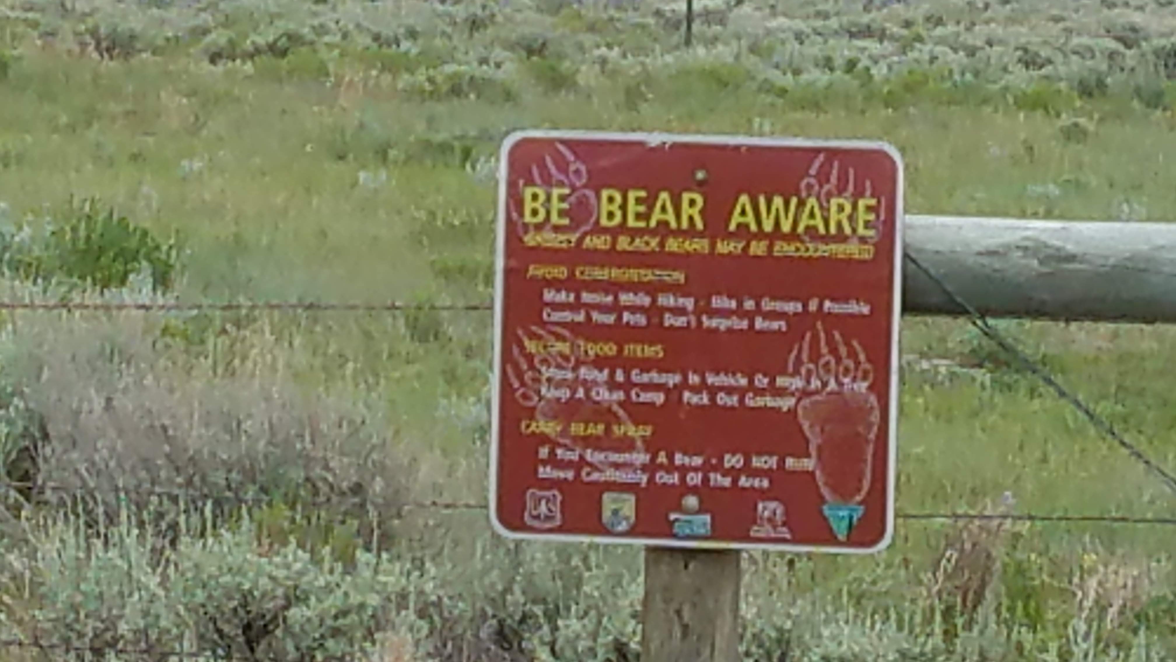
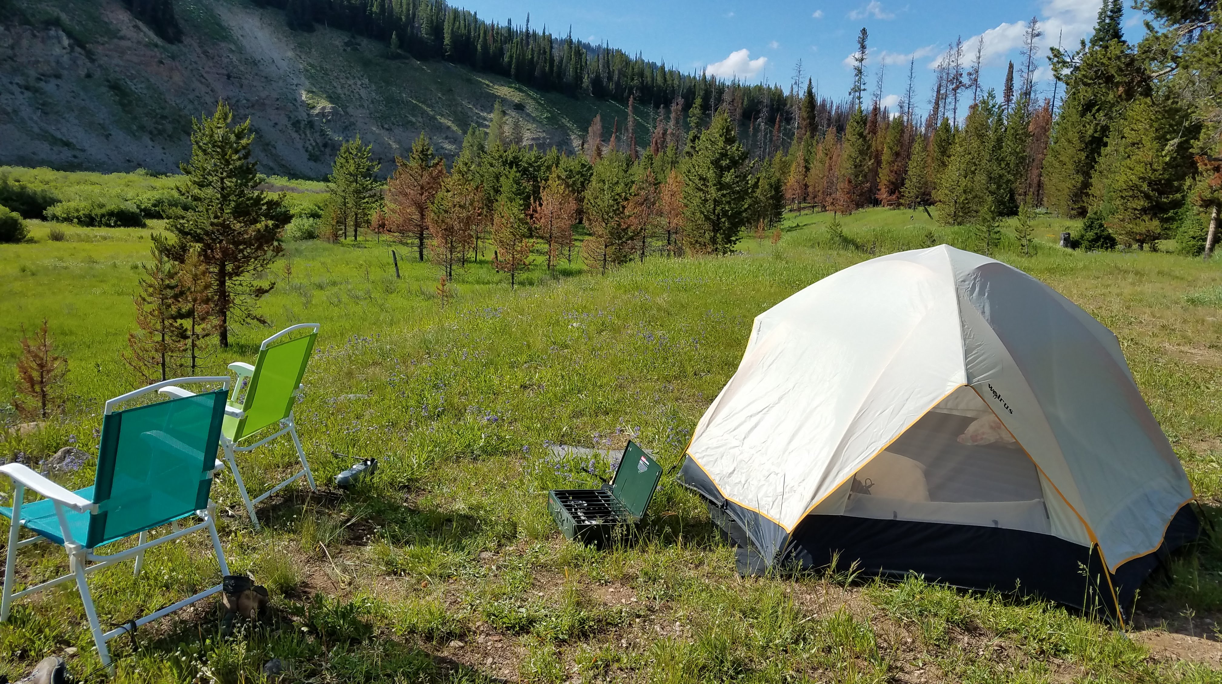
We were planning to camp, but as thunder storms began to surround us yet again, and hearing from the ranger that she had to close the camping a week or so ago because of two aggresive Grizzly bears, we heading to civilization and the town of Ashton. Lovely little cabins, good Mexican food, and torrential rain. Super day.

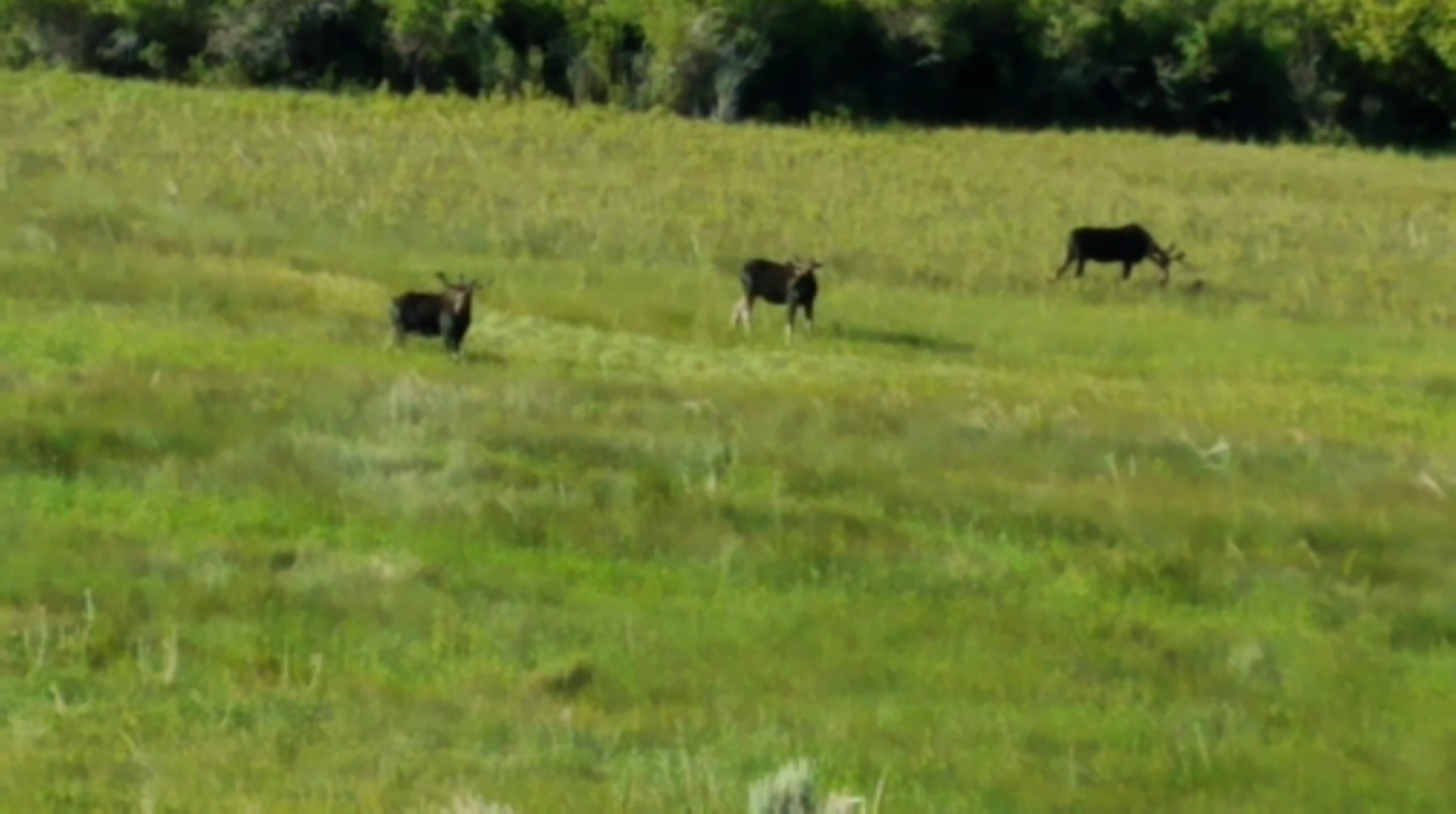
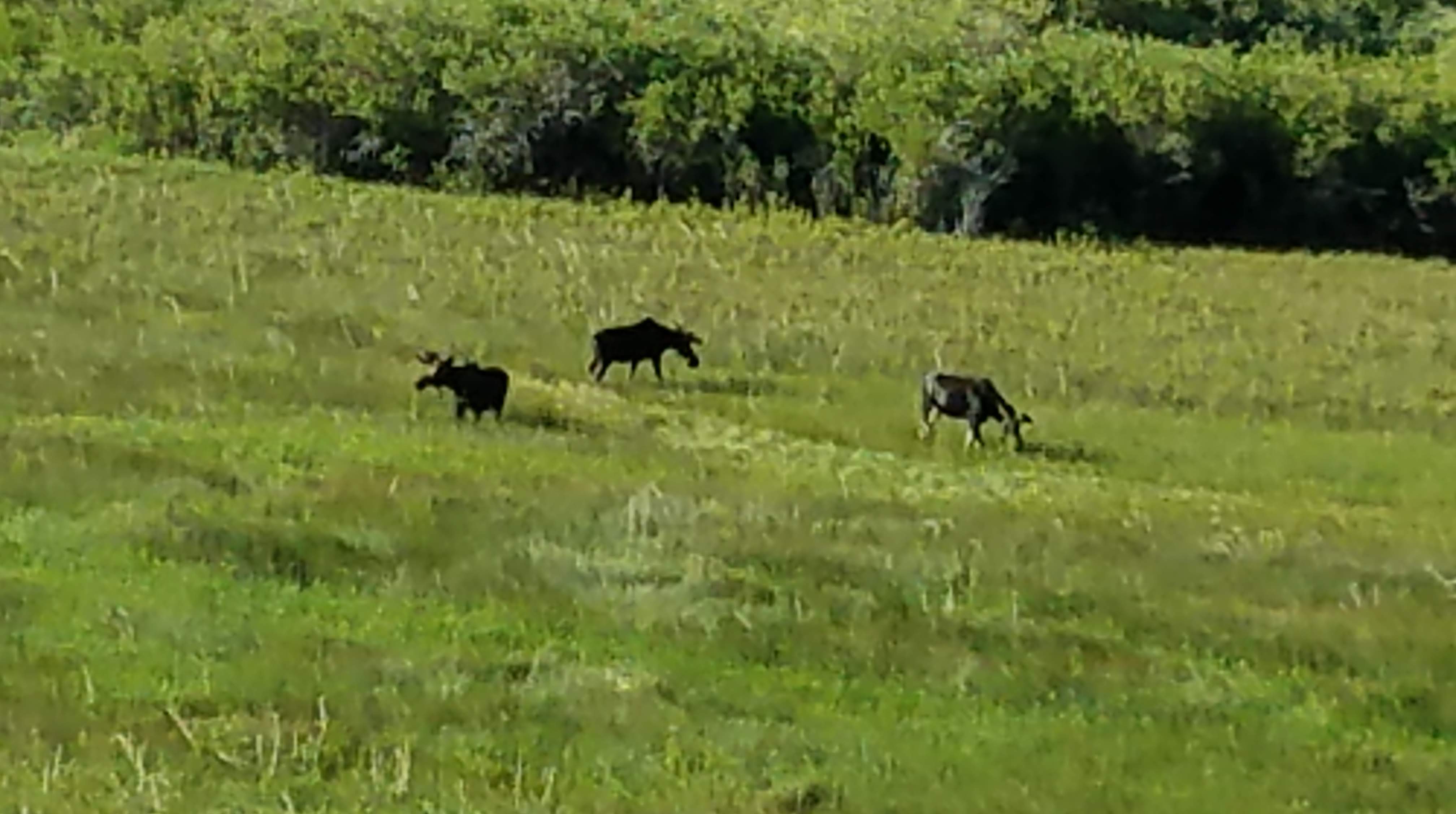
Critter Count: Several bald eagles, golden eagles, kestrals, assorted hawks, vultures, Wimbrel, Sand Hill Cranes, ground squirrels, Prong Horn Antelope, Magpies…but no bears.

July 9 – Milky Way Delight

During the night, lightning struck the main Ashton transformer and the entire town went dark. Cute place with little cabins, in business since 1924, Rankin Motel has history, and really nice owners.

Left town early stopping at the ranger station to check out the road conditions, what with so many storms and road made of gravel and dirt. Ranger says “good to go” so off we go, heading first on Ashton Flag Ranch Road. This then turns into Grassey Lake Road in Wyoming. We see mountains in the distance, pass Grassy Lake and Dam and Pole Cat Creek. We pass Flagg Ranch, WY and hit Jackson Hole at elevation 6,200′.

Jackson is a zoo. Those who know us won’t be surprised that we kept going through – seemed like it took forever! We loved the Tetons. They are majestic and inspiring just as we expected. The region is absolutely breathtaking, lush, varied. We hit 26/89 to Alpine then Grey’s River Road. We happened to see an officer in his SUV seemingly in trouble, but when we gave him a closer look he was a real dummy! Now on Grey’s River Road following Grey’s River south, about 100 miles due north of Kemmerer, we cross over Grey’s Bridge. Grey’s Bridge takes you over the Little Grey’s River and some gorgeous grass land, just right for sheep! Just over the bridge is the chuck wagon, sleeping trailers, sheep herding dogs running everywhere, and six (6) semi trailers full of sheep. When we arrived, the herders were just letting them out and were they ever happy. Summer camp before “the fall.”

Continued on following the river and about an hour after seeing the sheep we found a lovely clearing slightly above the river and a beautiful meadow. We set up camp but after the tent was up the wind took it and blew it across the meadow! Steve ran and after a couple of attempts he mastered the wind and brought it back. Then we headed to play in the river. Anytime there’s natural water! The river was running much faster that either of us realized, so we settled to have just our feet dangling in. Later, Steve fixed dinner of fried potatoes in sesame oil and stroganoff (right?). Cleaned up and locked all the food in the car (bear country, you know) and in the tent we had placed necessary supplies for the night – bug spray, bear spray, human spray. Sat and enjoyed the sounds, sights, solitude.

The night was pretty cold and in fact the tent was icy in the morning. I can say that my sleeping bag is NOT good to 15 degrees F! Cold and clear gave us the most amazing night sky. Everything seemed closer and brighter. I guess 9,000+ feet in elevation will do that. There was no ambient light for maybe 50 miles in any direction and we had a wonderful Milky Way dance about 3am.

July 10 – Moose Anyone?

Broke camp quite early after a visit by two curious deer. Brushed the ice off the tent and loaded up, heading to Kemmerer. On the drive out on Grey’s River Road we saw four (4!) bull moose and one cow moose. They were in a luscious marsh enjoying breakfast. We could not believe our eyes, and they checked us out but didn’t seem the least bit bothered. Moving on about 3 minutes what do we see? Another four doing the same thing in another marsh! So fortunate to have seen these splendid creatures.

Quick stop in Kemmerer to pick up a prescription, have a bit of eggs and sausage, then we head south on 189 and west on 412. Passing through the small town of Carter, 412 becomes 414 through Bridger Valley, south 43, south on 44, south on 191 and into Vernal, “Utah’s Dinosaur Land.” Saw the site of the “first” Mountain Man Rendezvous.

We were really worn out – big day with lots of back roads (100+ miles) so ordered delivery and went to sleep.

July 11 – Lots to See

Decided to stay over in Vernal one more night so that we could really explore this area. Much to see from relics to amazing geologic formations. Out early and stop at Betty’s for breakfast. What a great spot! Family owned and operated small-town cafe with great food, lots of laughter, old timers who know the servers and vice versa. One of the female servers was especially liked by the customers – telling stories and laughing with gusto at their stories, never failing to receive hugs upon the customers’ departure. She is the owner’s niece, the other female server her granddaughter, and the older fellow said “been here for 17 years – Betty found me under the viaduct and that was that!” Don’t know if it is true, but makes a good story.

Head to the Utah Department of Natural Resources to check on our planned route for the following day. Maybe it’s the water, but the agent, a contemporary named Cindy, was a real gem with an outgoing personality, fun loving manner, and a delightful laugh that was a treat to the ears. We enjoyed meeting and talking with her.

Head to Red Cloud Loop (18) through Ashley National Forest stopping at Dry Fork Overlook to get a pic of the road up. Large stands of pecker poles at the summit. At North Fork Creek on Taylor Mountain Road, a cut throat habitat protected area, we find a sweet deer curled up resting in the shade of aspens, then a beautiful marmot busy in a rock field.

Out to McConkie Ranch to see petroglyphs. The heat and the climb proved too much for us so will keep the site on our list for another trip – perhaps fall. We are experiencing some minor difficulty with the elevation. Sea folk do require time to acclimate to elevations of 6,000′-12,000′.

South 191 – we discover we are going through an area determined to have “bizarre sharks and phosphate” referring to the fact that the area is a site of ancient seas (Salt Lake is a remnant) and dinosaur beds.

At Sage Ranch we turn left onto Jones Hole Road. We took the “detour” because the sign said there was a fish hatchery, but this turned into the most amazing gorge with some of the most beautiful geology of the trip. Literally took our breath away. Layers of the past preserved in stone. And, can you say concretion? They were huge! Stopped to look for interesting rocks and I found an actual dinosaur bone!!! Yes, Virginia, there is a Santa. Also found some glossy, carmel-colored jasper (Wild Horse?). Into the Green River Gorge and then head back to Vernal on Jones Hole Road. Stop for dinner, then laundry and sleep. Another great day!

July 12 – Hey Joe, Where You Going To?

Up and breakfast at Betty’s, then head out of Vernal on 40, swing south on 45. The day is full of clear, blue skies. We enjoy these small communities, people engaging easily in conversation, sharing their opinions and knowledge. Being coastal folk we don’t necessarily always comprehend other points of view. The opportunity to converse with people in a much different part of the country is especially valuable at this time in our country’s history. People everywhere pretty much want the same things. We have met, as we have in all our peregrinations, some very special people.

As we continue on through the oil and gas fields on the Uintah and Ouray Reservation near Bonanza mining for Gilsonite is also underway. Some interesting exploratory “canyons” remain. We jump off our road to head into a gorge we spot on the White River. One side is native land, the other side BLM. We found a “scare crow” and some Ant Lions (only the holes are visible in the pic) and have a momentary thought to take one of these fascinating critters home – but thought better. Back up to continue our route and turn off at the Rainbow junction. We spot an intriguing road off to the east and finding it on the map determined it would take us into Hell Hole Canyon. How can one resist? Pretty tough road but as I say, we are a Subaru commercial. This is a very happy spur of the moment decision because the geology is – once again – staggering. Layers and layers that Steve says quite accurately, look like Baccalava. We picked up a great rock that will be featured on our front porch. I spent time examining layers looking for signs of shell but the material I was working on was pretty unstable and Steve called me away. Suffice it to say that I can get a bit absorbed in this pursuit.

Continue through Watson – very interesting history – then 4250 to Asphalt and Rainbow…or at least we thought we were. We have experienced other areas where natural gas and oil exploration are carried out, and find that roads are seemingly willy-nilly cut in all directions. So, you think you are at a junction that your map clearly shows, the creek is in the right spot, etc., but the roads get cut so much you can get lost. Part of the journey. As we sat at a “T” a guy drives up (first person in hours) and says, “Do you know where we are?” “No! We were going to ask you!” His name was John (Joe) from DC (he saw our plates and said “Oh, you’re from the good Washington”) and was out just looking at rocks. Steve and John got their maps together and spent time trying to understand exactly what this “T” was, and where we actually were. At last Steve determined we should do a bit of backtracking and head back through Bonanza and then east into Colorado; John decided to just keep on wandering. He planned to attend the Rodeo in Vernal later. Hope he made it.

We are on 21 as we cross into Colorado. We pass through Rangley then south on 139. Finally, we see wild horses! This is all open range, and the fields are so lush and green, there is abundant grazing for all. Cross over Baxter Pass, elevation 8,000′. Interesting roads as we come into the town of Loma – names such as, M 1/4, N 3/4, O 1/2 . I wonder where M 1/2 is?

Hit south 70 following the Colorado River into Grand Junction. So crowded! Could not find “motel row” but lovely Renee at Gopher Foods gave Steve great directions. Stopped for night, rain, dinner, sleep. Lovely day.

July 13 – Second Time’s A Charm

Out of Grand Junction. GJ is a large town and feels like it. Nice people everywhere, but it’s too fast for our holiday taste.

Should be a great day. Heading out on another 100 mile road: South on 141, over the Colorado River. Take 25.10 Road and then south on Continental Divide Road. Pass through the Dominguez-Escalante region (named after the Franciscan priests). Monoliths are strewn about after having tumbled from their perches who knows how long ago.

Continental Divide Road runs through the Uncompahgre National Forest. The elevation is 9,500′, and wild flowers abound with displays that rival the most carefully curated and lovingly attended garden. We continue on and enter a beautiful valley, the Dry Creek Basin in the Tres Rio District.

As we move on there are many people out riding their ATVs and having fun, but we are looking for solitude! We stop a passing rider to ask where the turn was for Columbine Pass, and he gave us a bit of information, but wasn’t sure. He headed off after saying he was roaming trying to find the uranium mine. As we moved on we came to a T and chose to go right, which turned out to be a dead end. Turning around and heading back to the T we meet our ATV route advisor for the second time and stopping, he said he went down the road and took pictures of the signs on the roads to help us. He said, “I knew I would run into you on the way out!” What a thoughtful thing to do. His name is Jon Hobbs, owner of Trinity Carpet Care in Grand Junction, 15 years in business with commercial and government contracts as well as homeowner clients. Such a nice guy. We all got out and off our vehicles and had great conversation, some laughs, and talked politics. Great fun with him.

We continue on the Continental Divide Road to 141 through Naturita. This stretch of 141 is much less traveled than Hwy 50, “The Loneliest Highway.” We drop into Delores Canyon at the Hanging Flume and climb Slick Rock Hill into Montecello for the night – thunder storms most of the night. Dinner at a little family-owned place with Chance (owner’s nephew) as our waiter, a 20 something young man with an easy and affable manner. He shared with us his favorite “secret” places in the area. Tomorrow we go!

July 14 – Our Amazing Ancients

Stepping outside the air smells clean after the night’s thunderstorms. Stop for breakfast with Chance, gas up (3.13!) then wave adios to Montecello.

Take 200 south to Abado then S191 into Manti-Lesal Forest and hit 211 to Newspaper Rock. So much information shared with others – water, game, foot and hand prints. Judging from the messages, this area was a treasure trove of good water and fishing, game, life.

Take S191 back to Montecello, then 416 (mile marker 67). Turn in and stop at the visitor center to inquire. The woman working there was very informative, and shared her belief that she is descended from beings from Sirius B. She was quite convincing and we did enjoy visiting with her. She gave us a map and we were off.

Into Montezuma Canyon – so much to see! We came to cliff dwellings and art over and over again. Noteworthy is a seemingly upset man at the arrival of a pioneer family. Much was older, but it is fascinating to see a reference to the first “invaders.” I was unable to capture this image, but Steve got a good one.

One dwelling was high up in a cave – see the hand and foot holds on the wall? We spent several hours exploring and then ending the day in Blanding.