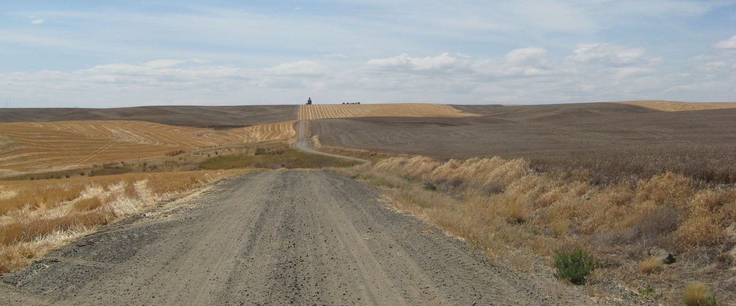
Up and breakfast at Betty’s, then head out of Vernal on 40, swing south on 45. The day is full of clear, blue skies. We enjoy these small communities, people engaging easily in conversation, sharing their opinions and knowledge. Being coastal folk we don’t necessarily always comprehend other points of view. The opportunity to converse with people in a much different part of the country is especially valuable at this time in our country’s history. People everywhere pretty much want the same things. We have met, as we have in all our peregrinations, some very special people.
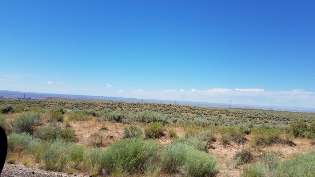
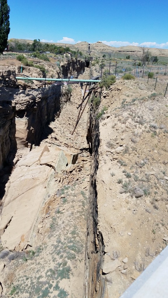
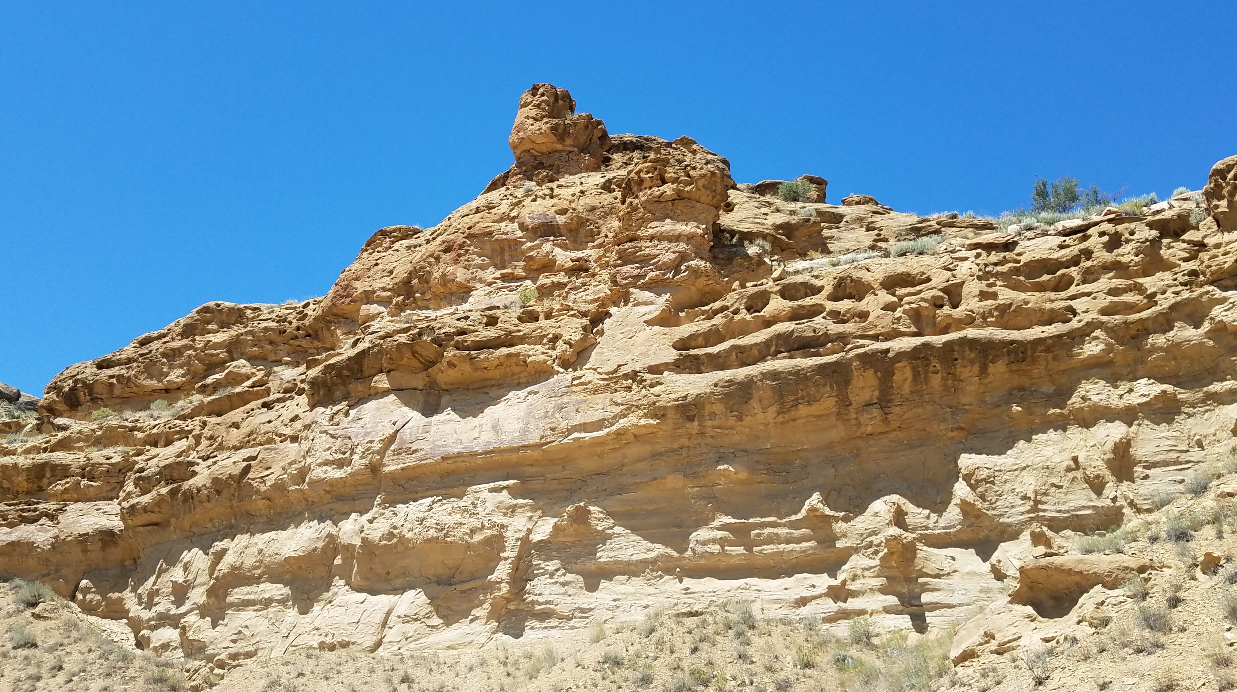
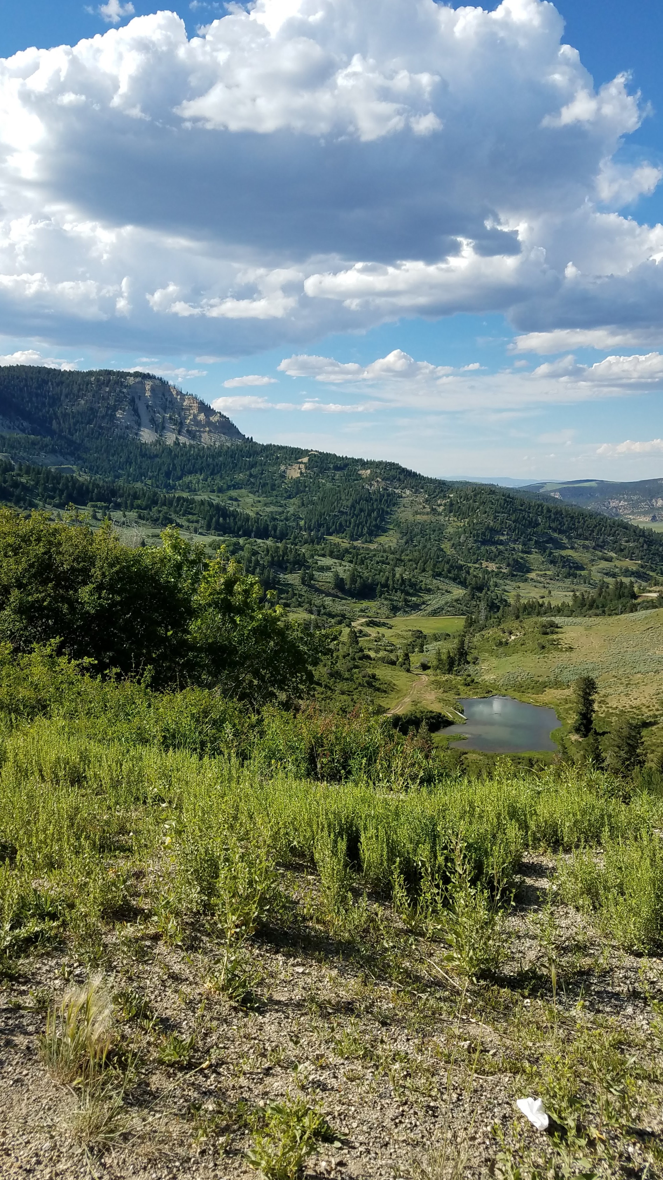
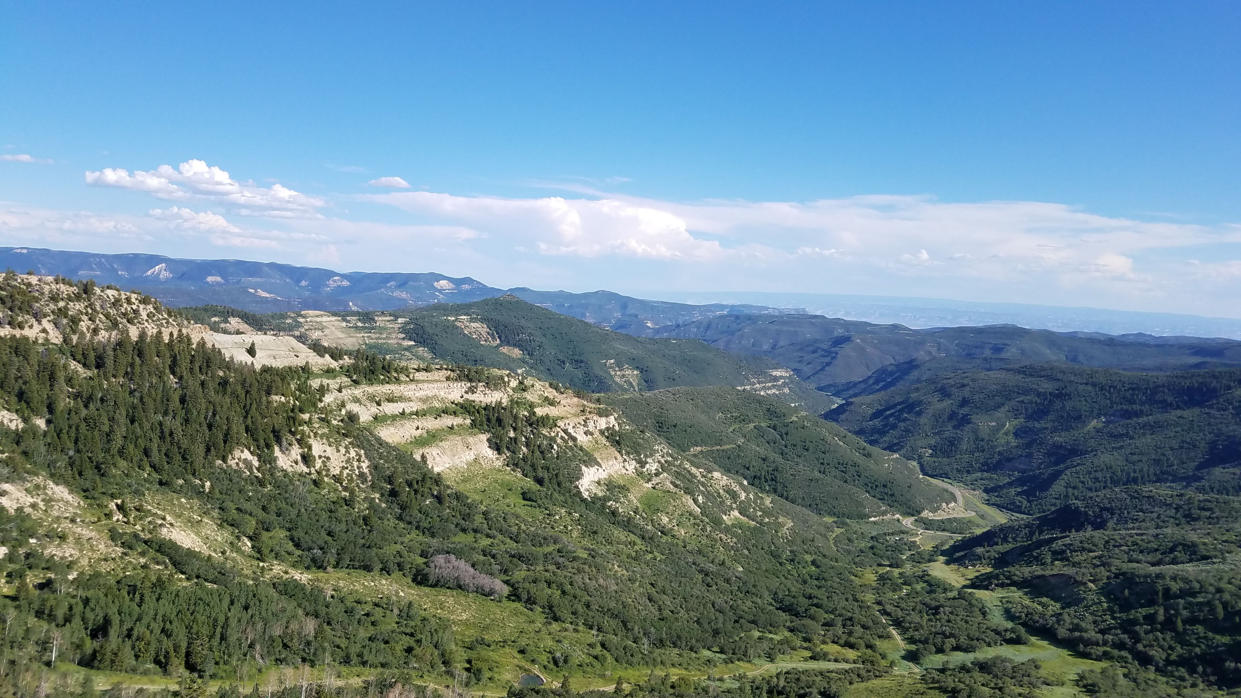
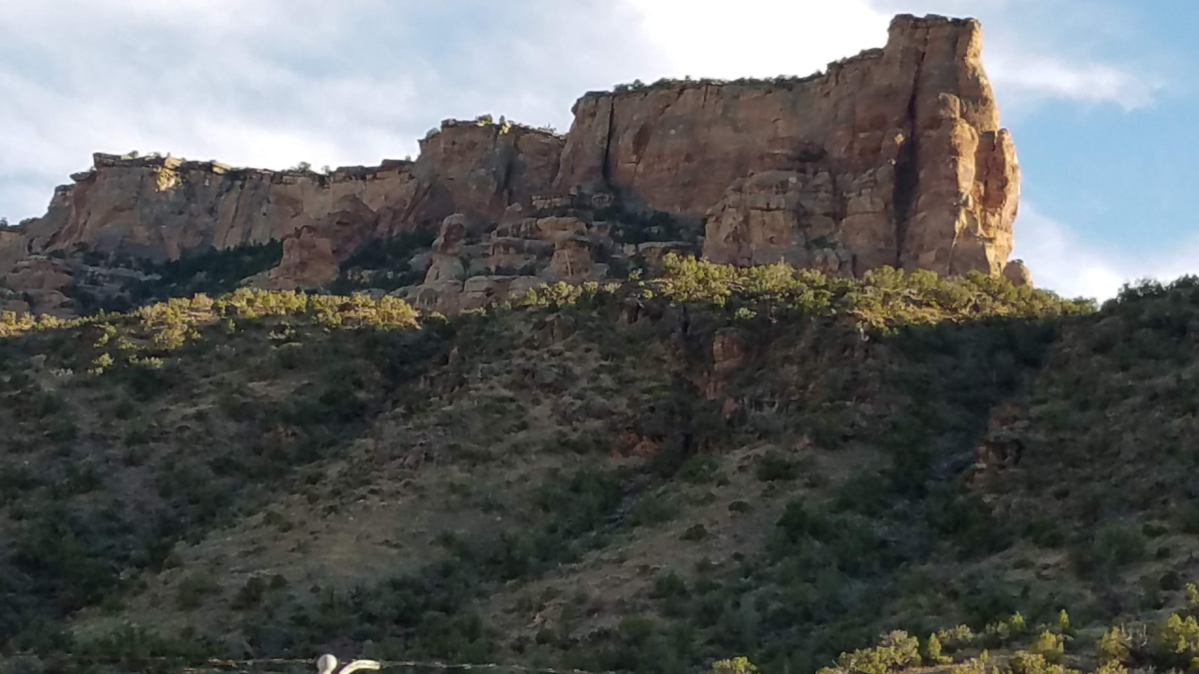
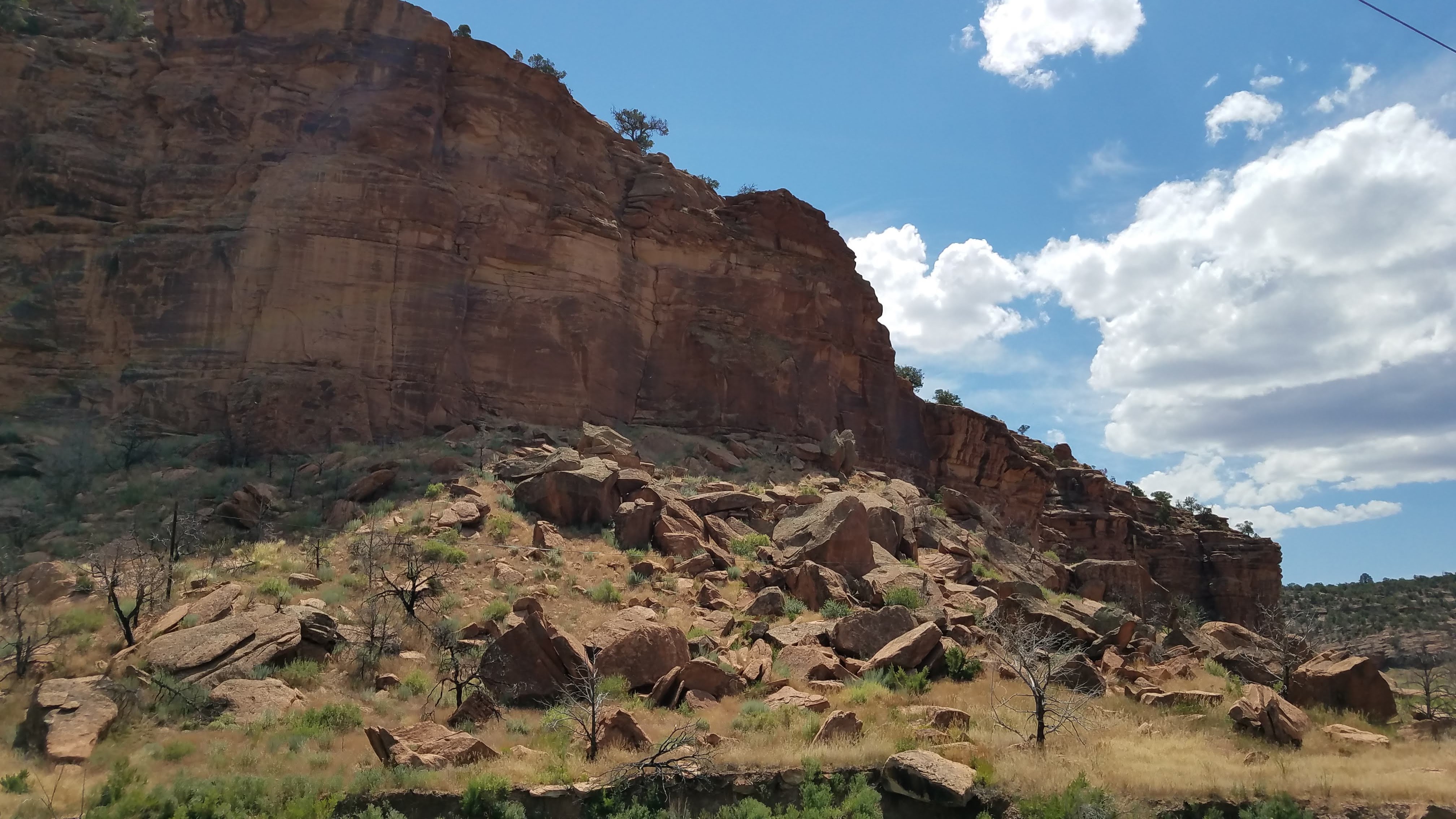
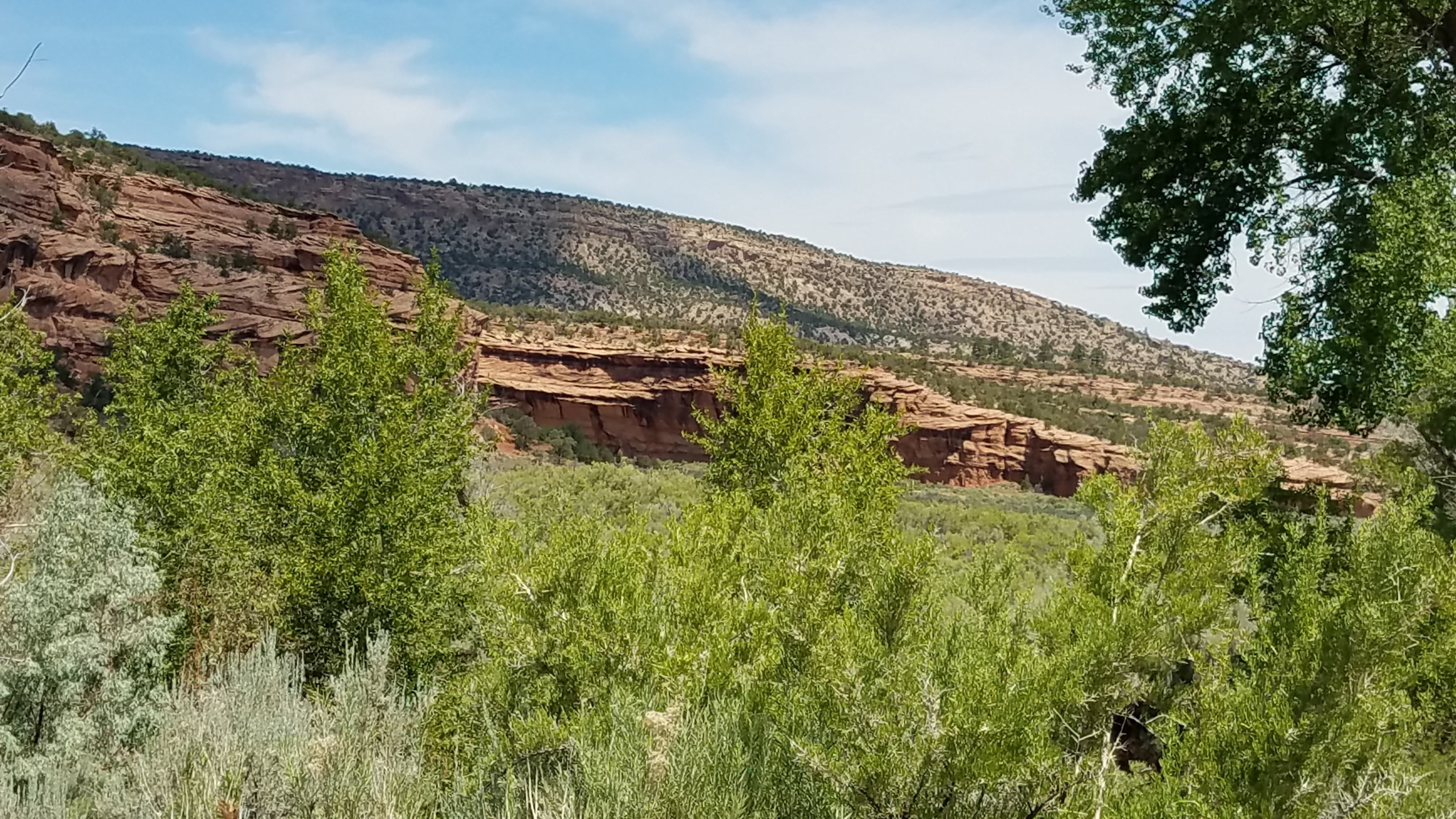
As we continue on through the oil and gas fields on the Uintah and Ouray Reservation near Bonanza mining for Gilsonite is also underway. Some interesting exploratory “canyons” remain. We jump off our road to head into a gorge we spot on the White River. One side is native land, the other side BLM. We found a “scare crow” and some Ant Lions (only the holes are visible in the pic) and have a momentary thought to take one of these fascinating critters home – but thought better. Back up to continue our route and turn off at the Rainbow junction. We spot an intriguing road off to the east and finding it on the map determined it would take us into Hell Hole Canyon. How can one resist? Pretty tough road but as I say, we are a Subaru commercial. This is a very happy spur of the moment decision because the geology is – once again – staggering. Layers and layers that Steve says quite accurately, look like Baccalava. We picked up a great rock that will be featured on our front porch. I spent time examining layers looking for signs of shell but the material I was working on was pretty unstable and Steve called me away. Suffice it to say that I can get a bit absorbed in this pursuit.
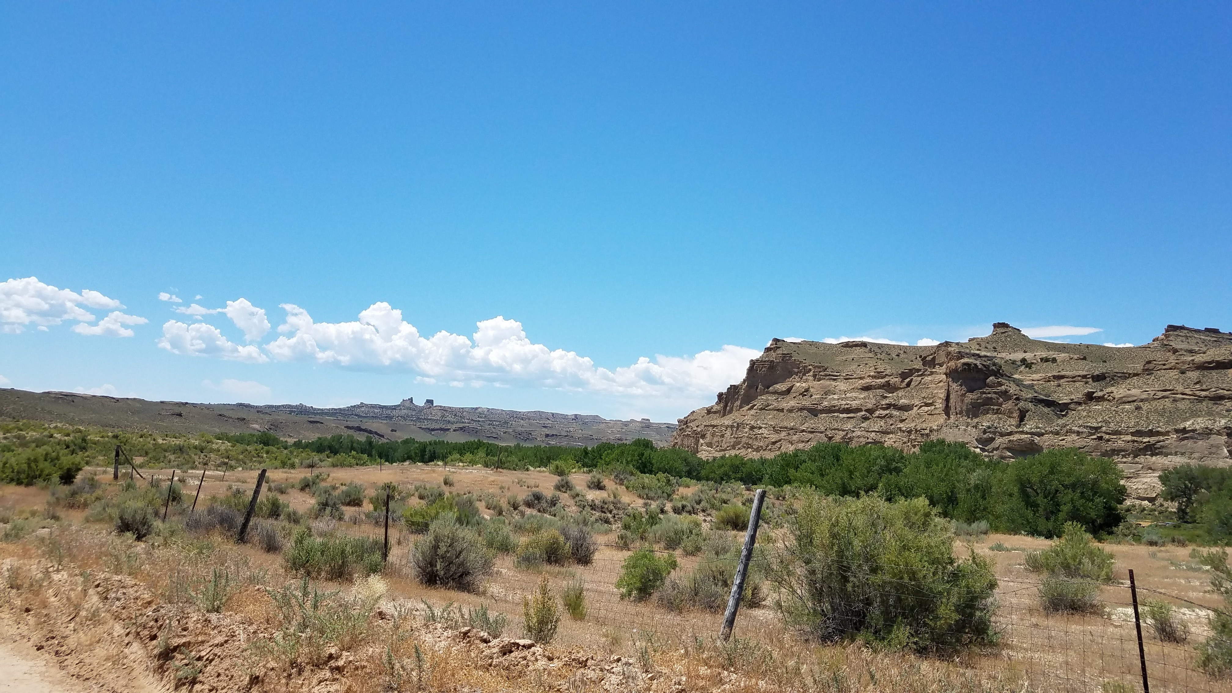
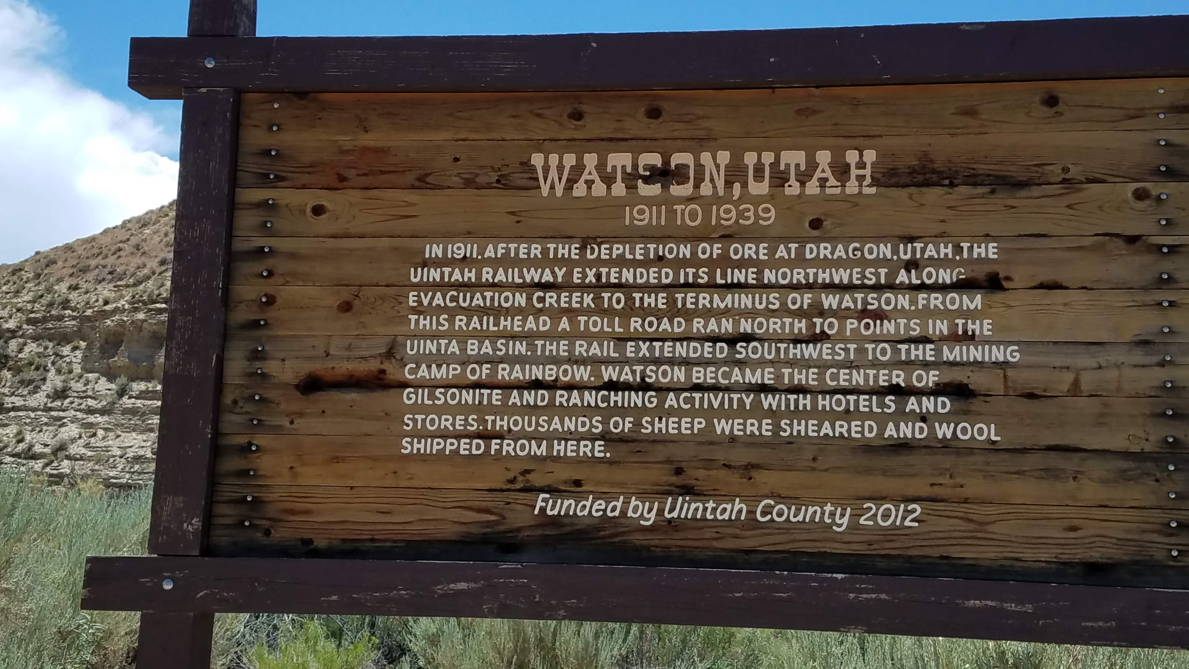
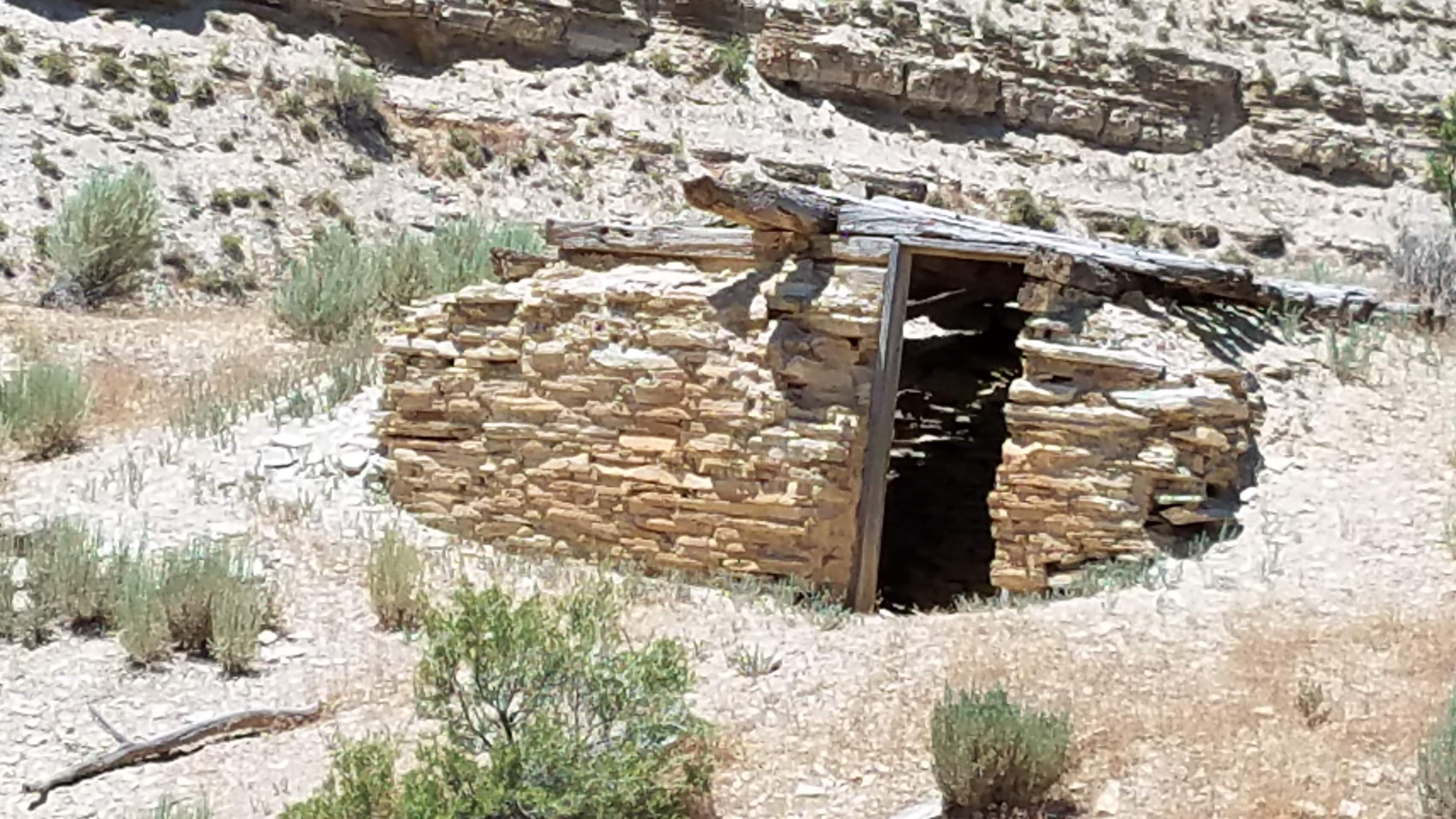
Continue through Watson – very interesting history – then 4250 to Asphalt and Rainbow…or at least we thought we were. We have experienced other areas where natural gas and oil exploration are carried out, and find that roads are seemingly willy-nilly cut in all directions. So, you think you are at a junction that your map clearly shows, the creek is in the right spot, etc., but the roads get cut so much you can get lost. Part of the journey. As we sat at a “T” a guy drives up (first person in hours) and says, “Do you know where we are?” “No! We were going to ask you!” His name was John (Joe) from DC (he saw our plates and said “Oh, you’re from the good Washington”) and was out just looking at rocks. Steve and John got their maps together and spent time trying to understand exactly what this “T” was, and where we actually were. At last Steve determined we should do a bit of backtracking and head back through Bonanza and then east into Colorado; John decided to just keep on wandering. He planned to attend the Rodeo in Vernal later. Hope he made it.
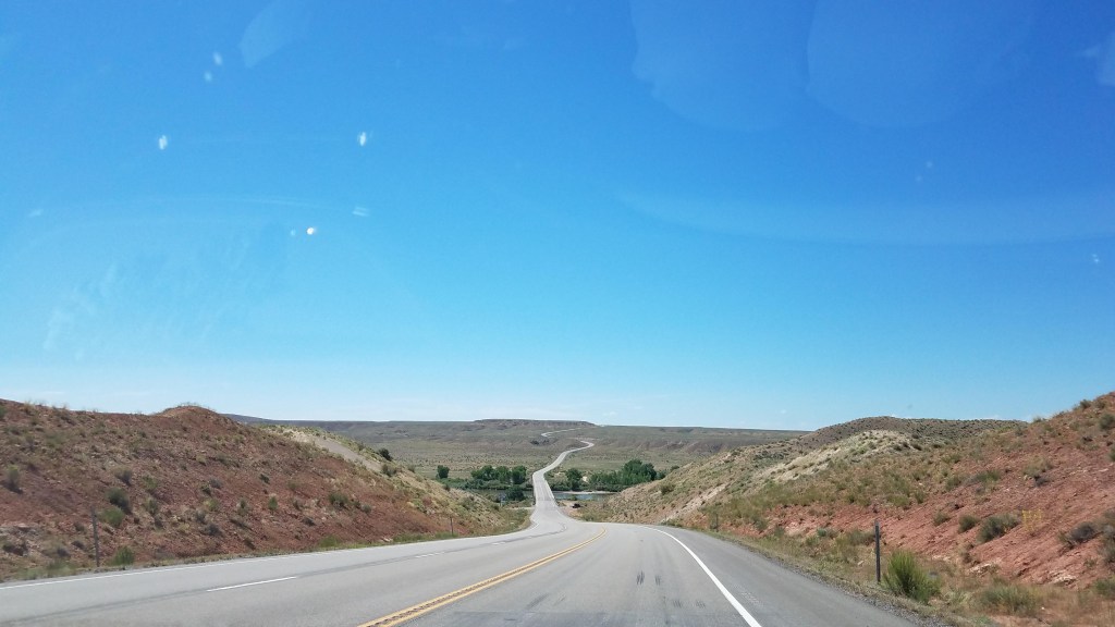
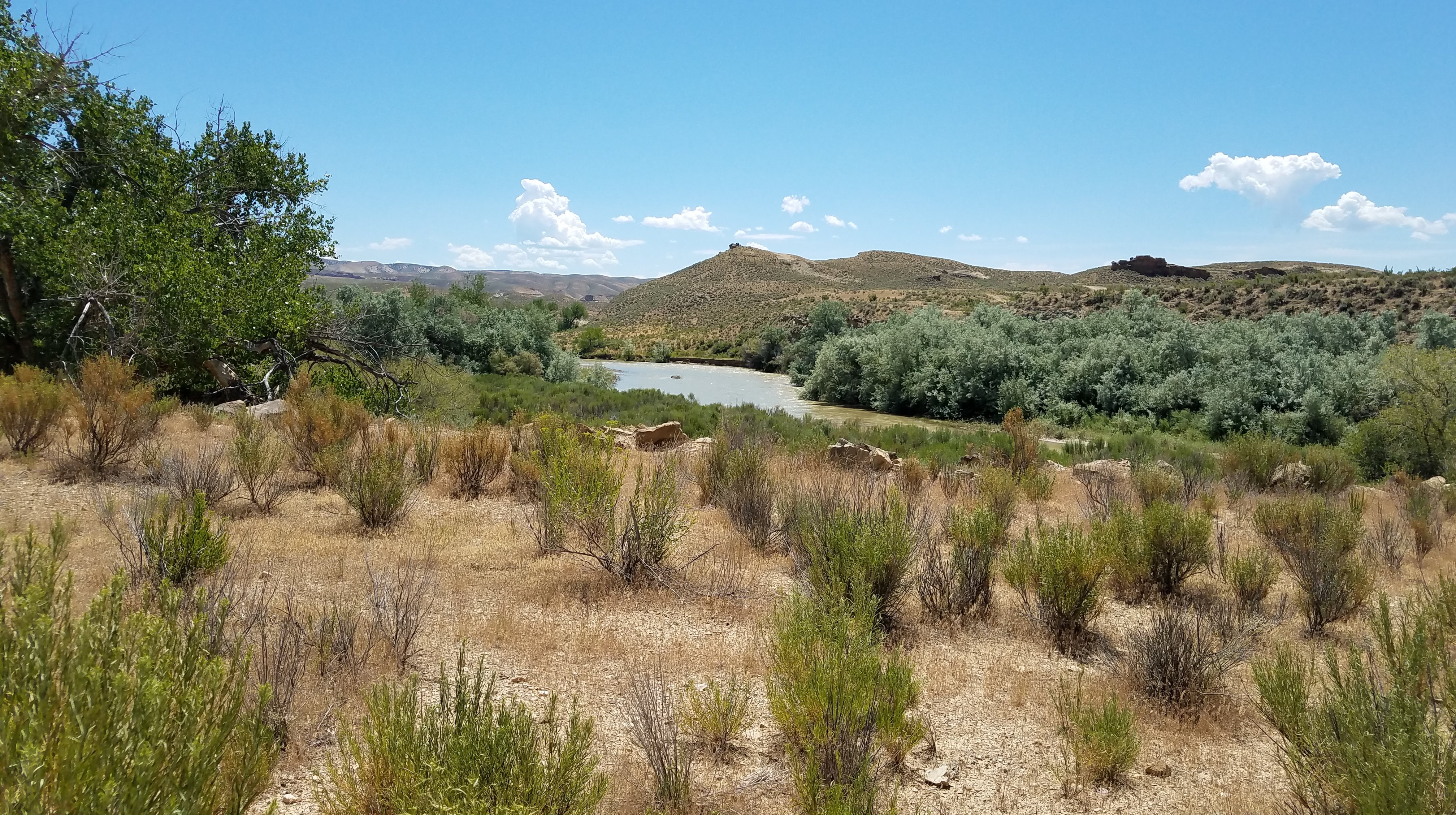
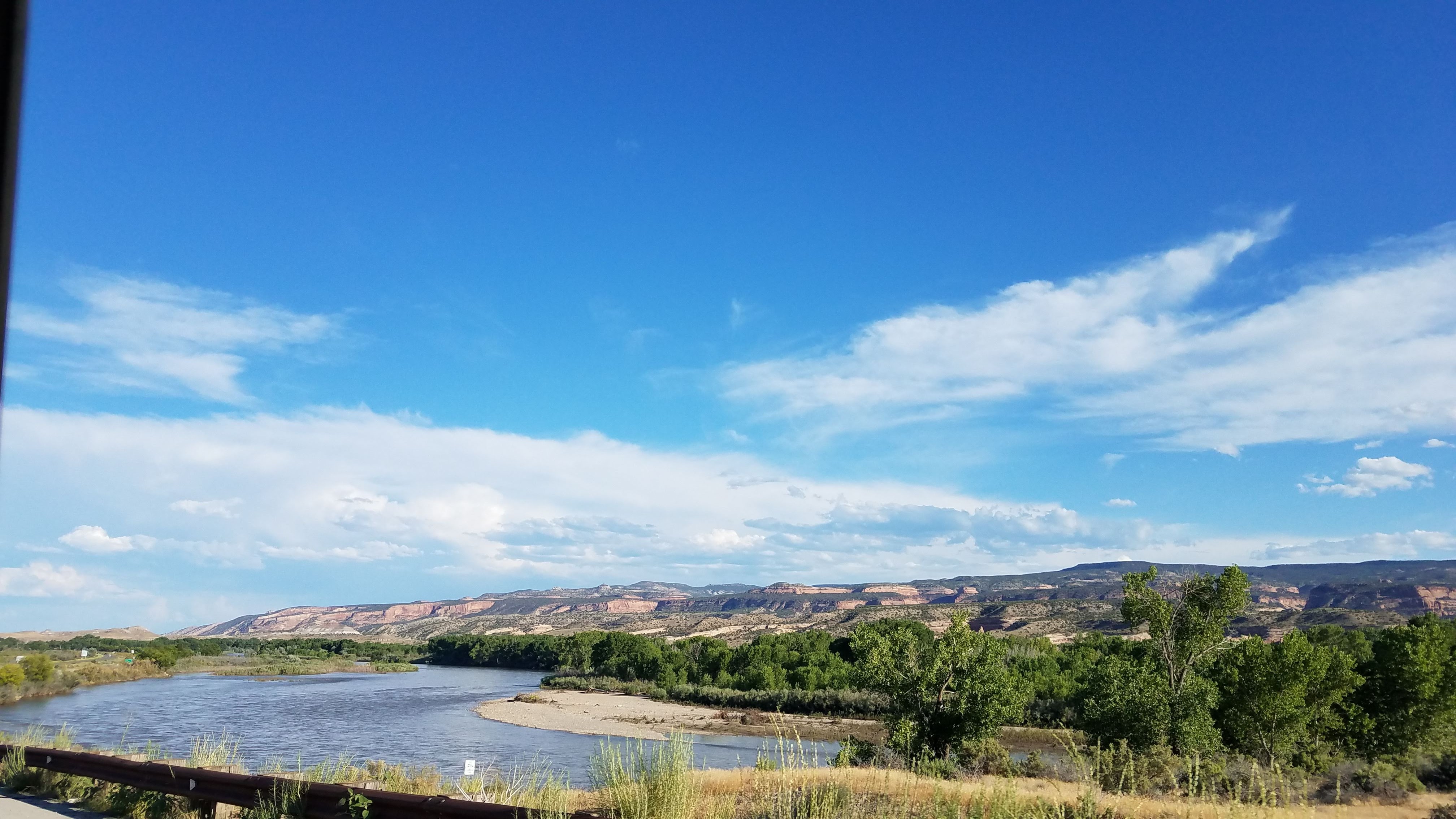
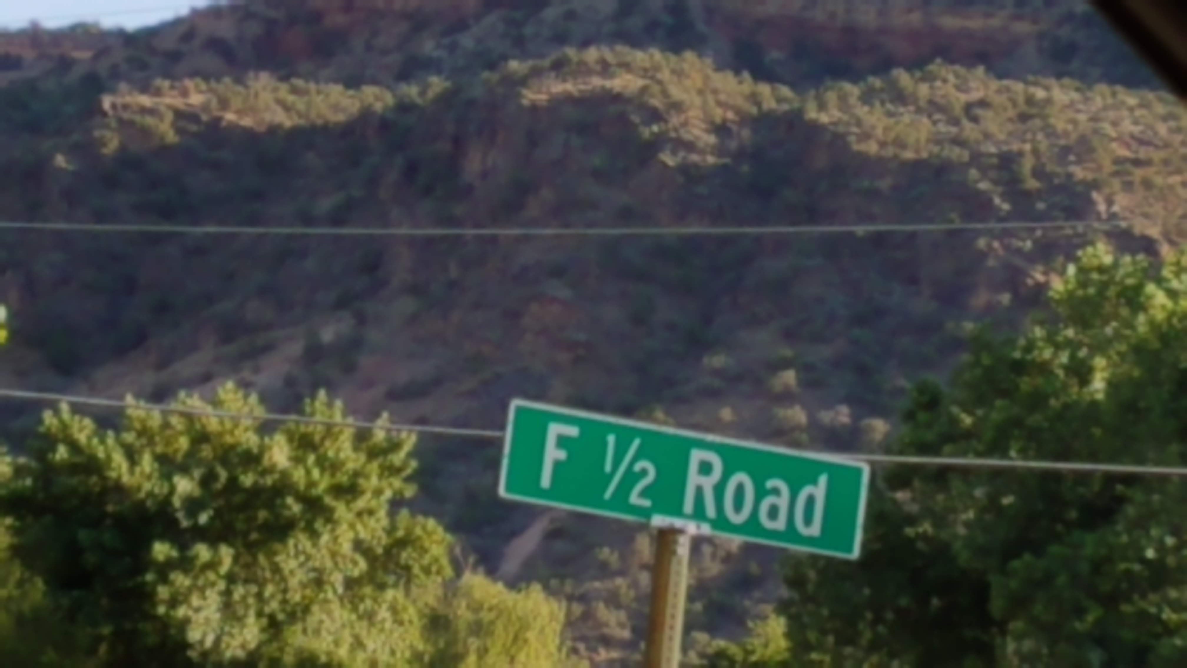
We are on 21 as we cross into Colorado. We pass through Rangley then south on 139. Finally, we see wild horses! This is all open range, and the fields are so lush and green, there is abundant grazing for all. Cross over Baxter Pass, elevation 8,000′. Interesting roads as we come into the town of Loma – names such as, M 1/4, N 3/4, O 1/2 . I wonder where M 1/2 is?
Hit south 70 following the Colorado River into Grand Junction. So crowded! Could not find “motel row” but lovely Renee at Gopher Foods gave Steve great directions. Stopped for night, rain, dinner, sleep. Lovely day.


Darn, all the pics didn’t load. Great story!
LikeLike
Try again
LikeLike
Try again
LikeLike
Worked!! Looking good!
LikeLike